

Technology that Complementing with Ground Penetration Radar (GPR) Survey
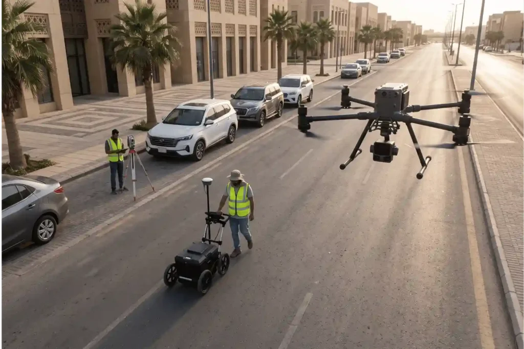
Ground Penetrating Radar (GPR) is one of the most effective non-destructive tools for imaging what lies beneath the surface. By emitting high-frequency electromagnetic pulses and recording reflected wave amplitudes, GPR detects metallic and non-metallic pipes, electrical duct banks, concrete reinforcement, and subterranean voids without physical excavation. However, GPR cannot operate as a standalone solution for […]
How Ground Penetration Radar Supports BIM and Digital Twin Development
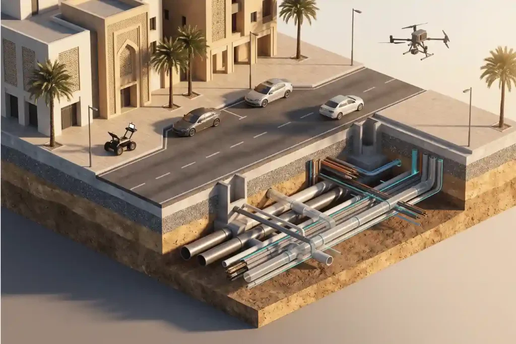
Modern architecture, engineering, and construction (AEC) projects operate in increasingly dense urban environments where physical space above and below the surface is at a premium. While surface topography, structural framing, and architectural facades are documented using advanced reality capture tools, the space beneath concrete slabs, roadway pavements, and building foundations remains largely invisible. Ground Penetrating […]
Heritage Preservation Using 3D Digital Twin Technology and Aerial LiDAR Survey
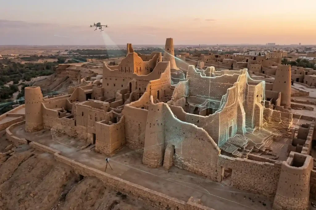
Ancient mudbrick towers, coral-stone structures, masonry arches, and historic timber frames face continuous environmental threats. Solar radiation, wind-blown sand erosion, thermal expansion cycles, underground moisture migration, and surrounding urban development weaken the structural foundations of cultural heritage landmarks over time. Unmonitored structural deterioration leads to irreversible material loss, wall displacement, roof collapse, and the destruction […]
Building an Operational Digital Twin Using Multi-Modal Reality Capture Across City Infrastructure
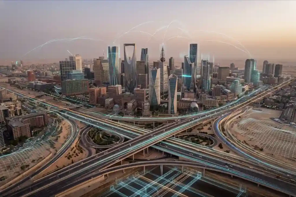
Royal commissions, municipal authorities, and giga-project developers manage vast, highly interconnected urban ecosystems. Historically, municipal asset records develop independently across departments, where surface transportation maps, building design drawings, underground utility schematics, and marine port surveys reside in separate databases. This structural disconnect creates operational blind spots, delays engineering reviews, and leads to costly project redesigns […]
Subsea Corrosion Inspection and Asset Integrity for Coastal Industrial Ports
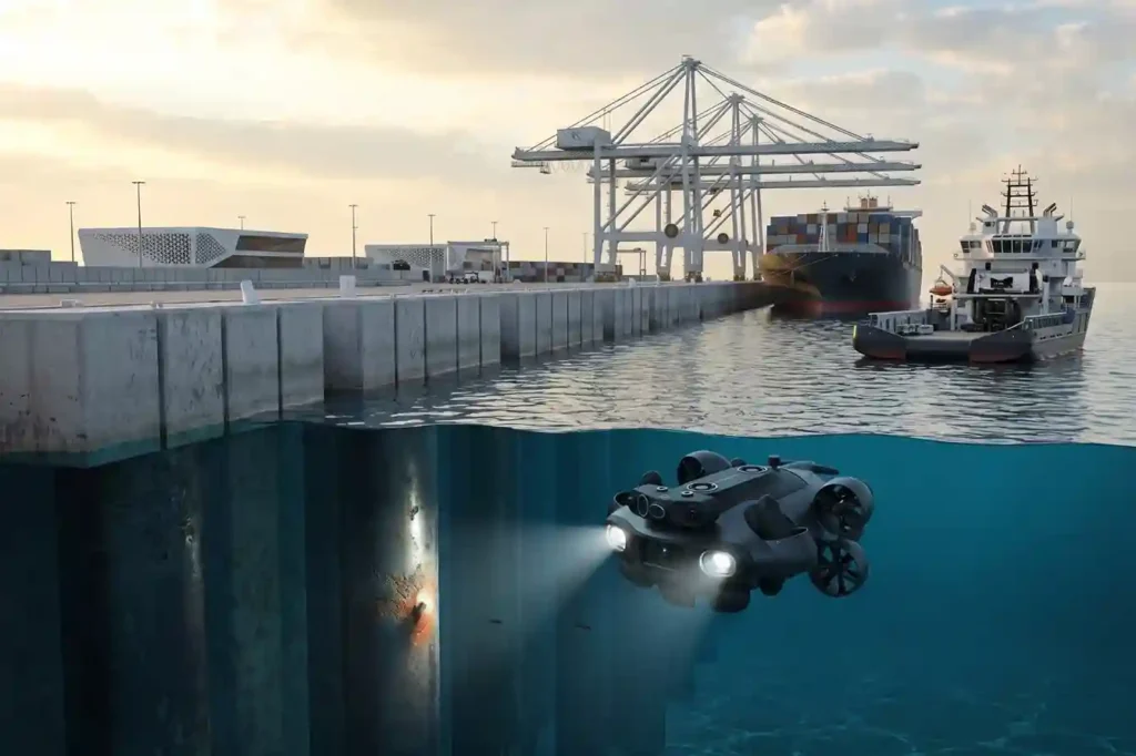
Coastal industrial ports, commercial container terminals, naval bases, and seawater intake facilities operate in highly aggressive marine environments. Submerged waterfront infrastructure, including steel sheet piling, concrete quay wall foundations, jetty trestles, bridge piers, and seawater discharge outfalls, is subject to continuous electrochemical, physical, and biological degradation. Saltwater immersion creates high electrolyte conductivity that drives rapid […]
Deploying CCTV Robotics for Subsurface Drainage and Sewer Inspection
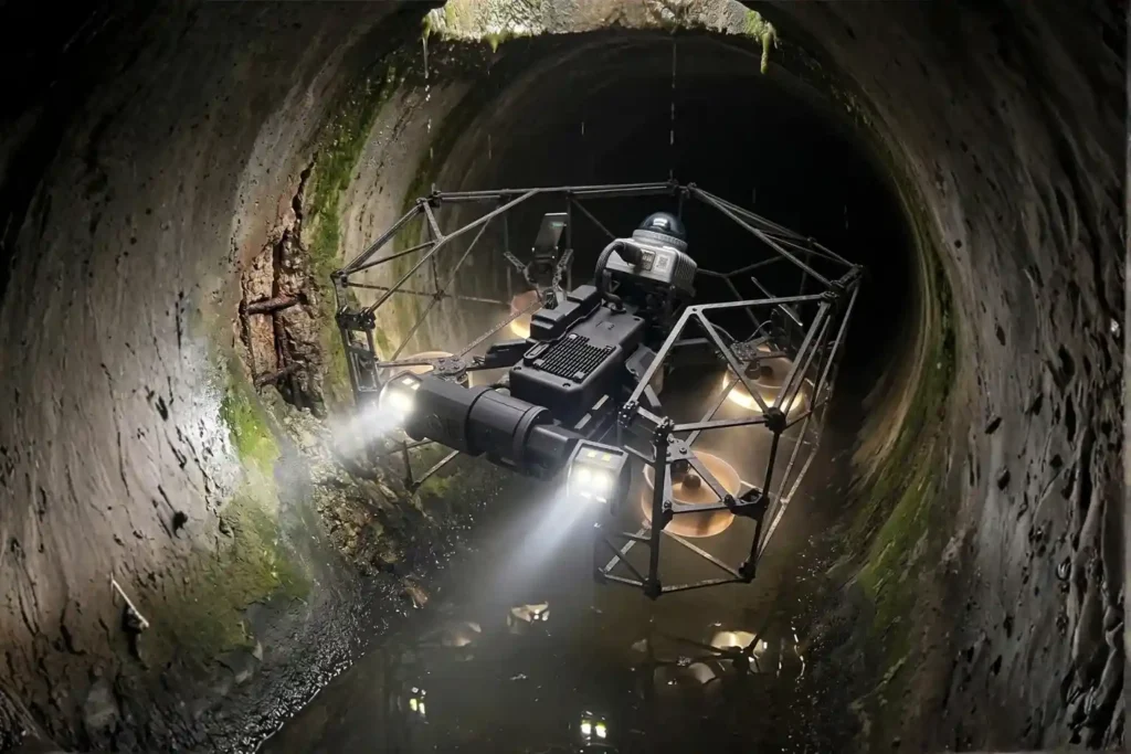
Urban expansion and heavy municipal utility demands place continuous stress on underground gravity sewer networks and stormwater drainage channels. Over decades of operation, underground concrete and clay pipes experience structural cracking, joint displacement, chemical erosion from hydrogen sulfide gas, root intrusion, and heavy sediment accumulation. Left unaddressed, these subsurface pipe defects lead to sewage exfiltration, […]
Drone Inspection and Underwater ROV Solution for Port Infrastructure at King Abdullah Port
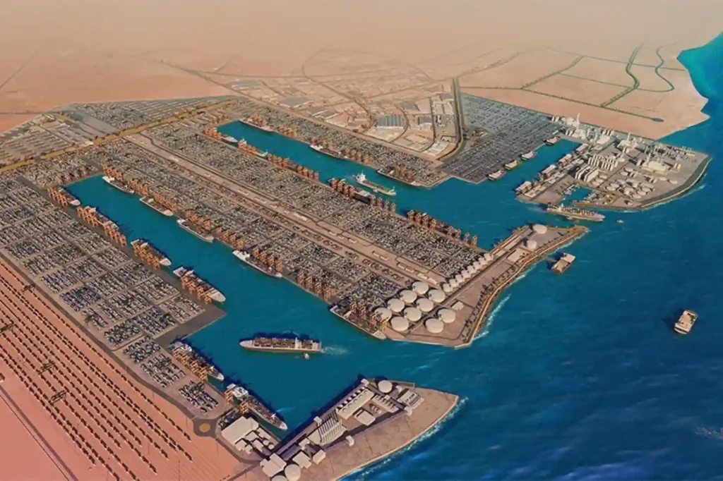
King Abdullah Port, located within King Abdullah Economic City (KAEC) along the Red Sea coast, serves as a major deep-water logistics hub in Saudi Arabia. Handling over 2 million TEUs annually, the port operates extensive deep-water berths, container terminals, bulk facilities, and roll-on/roll-off (RoPax) terminals. Maintaining structural integrity across these large-scale marine assets is critical […]
Drone LiDAR Mapping and Topographic Survey Workflows for NEOM Oxagon
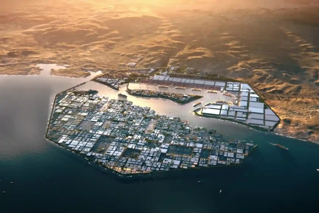
Developing primary infrastructure across Oxagon’s 48 km² core industrial zone along the Red Sea coast requires creating accurate, high-density 3D spatial baselines. Designed as an automated port, clean energy, and industrial hub within NEOM, Oxagon features a complex shape of infrastructure networks. These include multi-utility rights-of-way, heavy haul transport roads, freight rail lines, high-voltage distribution […]
Drone Monitoring in The Coastal Environmental Across Jazan SEZ: Thermal Audits and Marine Protection
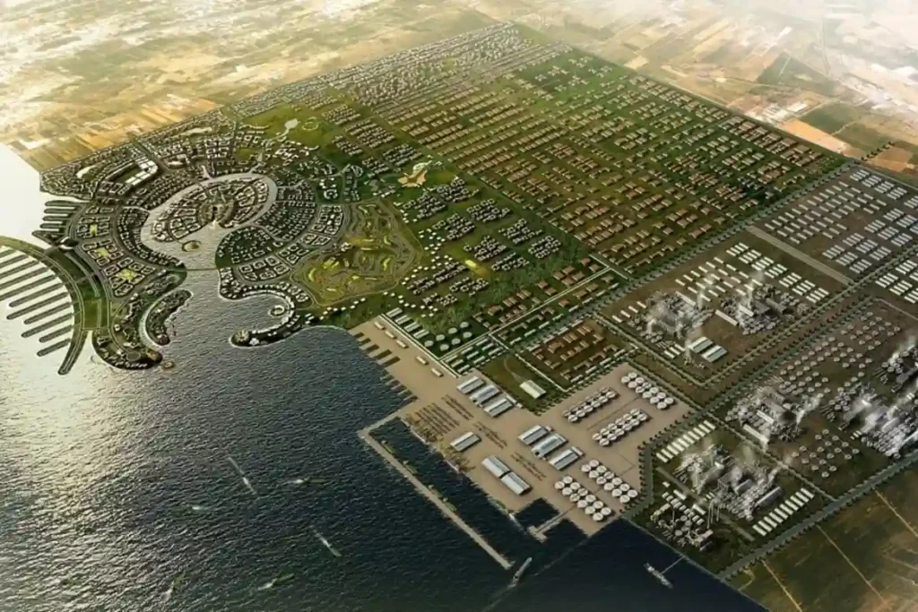
Jazan Special Economic Zone (Jazan SEZ) located within Jazan City for Primary and Downstream Industries (JCPDI). It’s expands the industrial operations along 24.6 km2 of Red Sea coastline, protecting marine ecosystems and coastal water quality has become a primary operational focus. Housing heavy downstream manufacturing, food processing facilities, mineral refineries, and port logistics at JCPDI […]
Surveying Jeddah Industrial Drainage Networks Using Drone Topographic Surveys and LiDAR
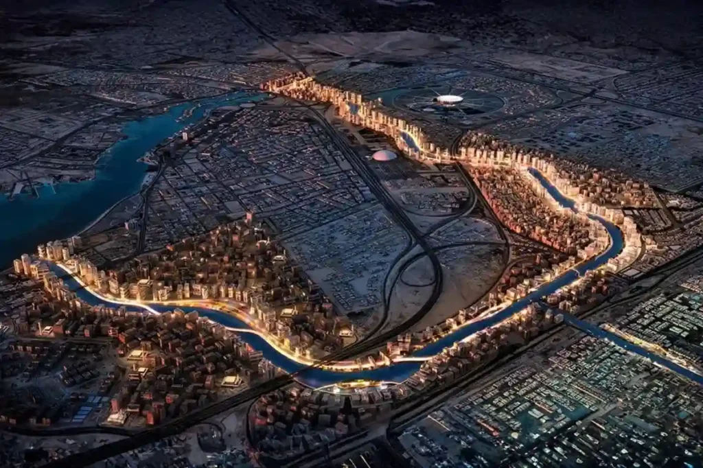
Expanding across low-lying coastal plains along the Red Sea, Jeddah 2nd and 3rd Industrial Cities managed by the Saudi Authority for Industrial Cities and Technology Zones (MODON), house essential manufacturing, chemical processing, and logistics facilities. The geographic positioning of these industrial zones exposes broad land parcels to periodic torrential rainfall and rapid surface water runoff […]
 العربية