- المرافق، الاتصالات وتوليد الطاقة
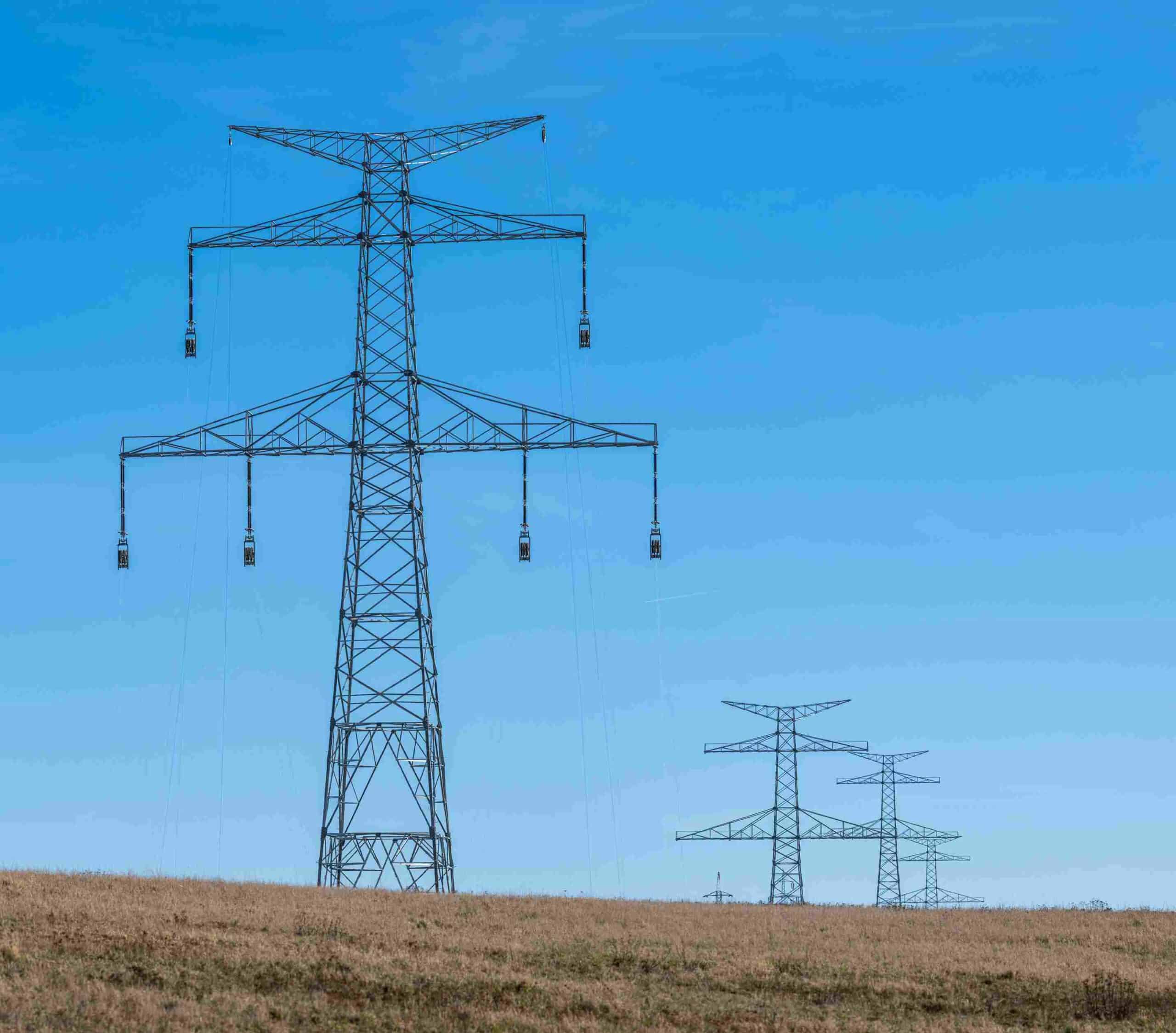
Mapping the Grid: 37 KM Power Line Corridor Precision Land Survey
Building high-voltage power lines requires absolute spatial accuracy across long distances. In this project, an infrastructure corridor spanning 37 kilometers needed to be mapped to identify potential design clashes before