
شعار TDSA إيجابي طويل

خدمات المسح ورسم الخرائط بالدرون في المملكة العربية السعودية

مسح فوتوغرامتري وليدار بالدرون معتمد من GACA في المملكة اكتساب بيانات جوية ورسم خرائط أورثوموزايك ونمذجة ثلاثية الأبعاد ومسح حجمي لمشاريع الإنشاء والبنية التحتية والصناعة
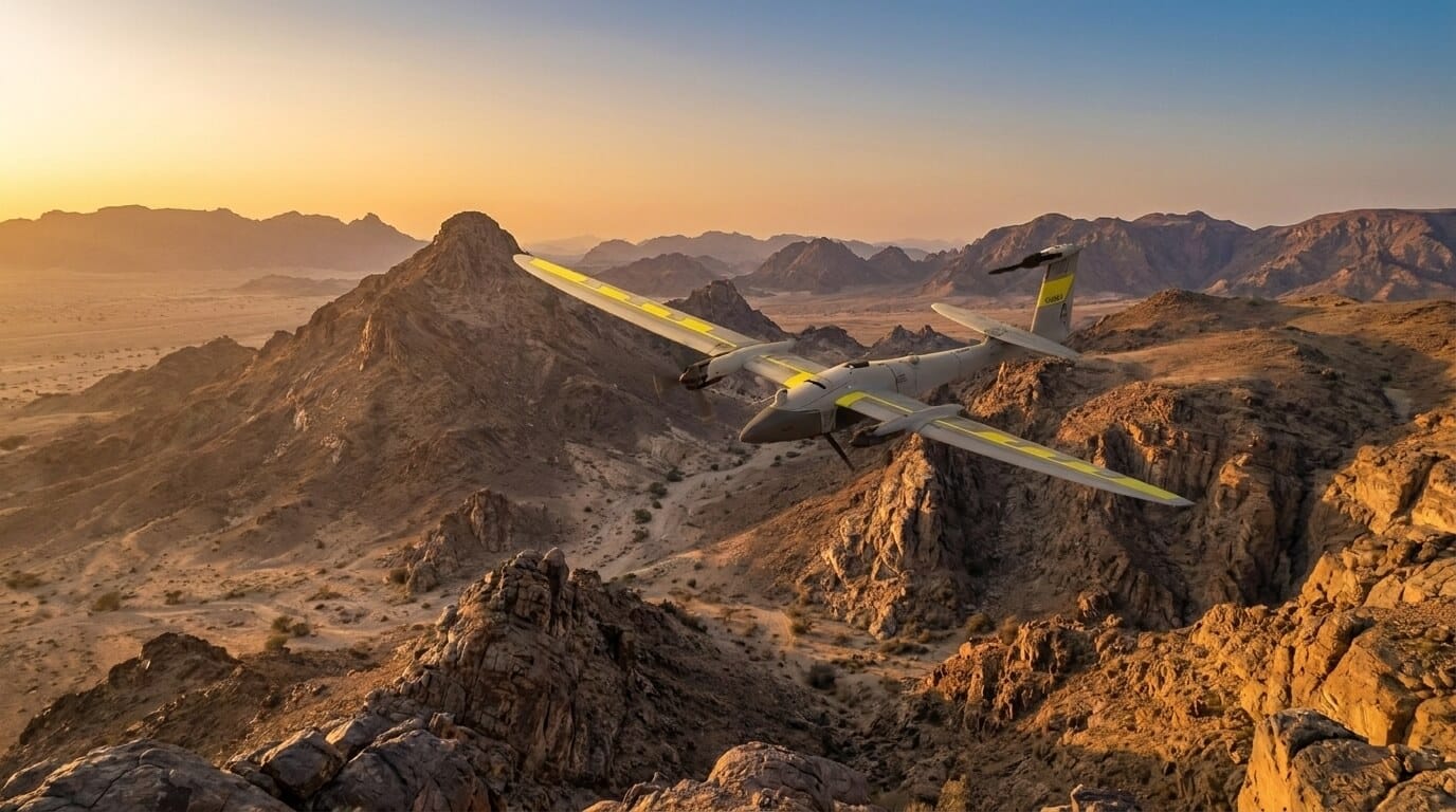
طائرة درون ثابتة الجناح تحلق فوق تضاريس وعرة في المملكة العربية السعودية لتنفيذ أعمال المسح ورسم الخرائط.

المزايا

Drone Survey and Mapping: Wide-Area Coverage, Engineering-Grade Accuracy

Centimetre-grade accuracy over hundreds of hectares per flight day, GACA-cleared operations, in-house processing, and deliverables that open directly in your GIS, CAD, and BIM tools.

Centimeter Accuracy You Can Build On

فوتوغرامتري الدرون مع RTK GNSS ونقاط الضبط تحقق دقة 2-5 سم فوق التضاريس والمواقع يوفر الليدار نماذج ارتفاع دقيقة للأرض الخالية عند وجود غطاء نباتي أو عوائق

تغطية مساحات واسعة في أيام لا أسابيع

A single drone mission covers hundreds of hectares per flight day, delivering orthomosaic and elevation data for large sites and corridors far faster than ground survey to accelerate project decisions.

GACA-Licensed Flights, No Permit Delays

Every drone survey flight requires GACA Part 107 authorization. Terra Drone Arabia holds active certification and secures flight permits directly before deployment, so you face zero regulatory friction.

Data That Drops Into Your GIS and BIM

Deliverables are formatted for direct import into AutoCAD, Civil 3D, ArcGIS, QGIS, and BIM platforms with no extra processing. Orthomosaics, DTMs, and point clouds are ready for immediate workflow use.

Faster Turnaround With In-House Processing

Aerial data is processed in-house via Terra Mapper for accuracy control and point cloud classification, visualized and managed in Terra MapX, then delivered securely to your team via Terra Cloud.

Proven on Saudi Arabia's Major Projects

Drone survey and mapping delivered for residential developments, water infrastructure, municipal roads, highway corridors, slope and rockfall assessment, and Red Sea island and marine programmes.

تحديات

Why Large Sites and Hard Terrain Outrun Ground-Only Survey

On large sites and hard terrain, ground-only crews cannot close data gaps fast enough for design and procurement decisions.

المسح الأرضي بطيء جدا للمواقع الكبيرة

Ground crews cover limited area per day. Surveying a site of hundreds of hectares conventionally takes weeks, delaying design freeze, earthworks approvals, and procurement decisions downstream.

تضاريس يصعب الوصول إليها أو خطرة

Steep slopes, quarry faces, wadis, and remote desert are unsafe or unreachable for ground crews. Leaving them unmapped creates data gaps that distort volume calculations and access road planning.

بيانات قاعدية منخفضة الدقة تؤخر القرارات

Standard handheld GPS delivers meter-level accuracy that fails engineering sign-off requirements. Drone photogrammetry with RTK GNSS and GCPs achieves the sub-5 cm accuracy cut-fill design needs.

غياب خط أساس تقدم قابل للتكرار

Without regular aerial surveys tied to one datum, tracking progress against design turns into dispute. Periodic drone mapping gives every stakeholder one objective, timestamped record of progress.

البيانات تسلم متأخرة جداً لتكون مفيدة.

Slow survey campaigns deliver data long after design decisions are forced onto assumptions. In-house processing with Terra Mapper compresses the cycle from flight to ready deliverables down to days.

انفصال البيانات الجوية والأرضية

Hiring separate firms for drone capture and ground control causes mismatched coordinates, double mobilization, and formatting friction. Running both under one team removes alignment issues entirely.

التقنيات و الأساليب

الأسلوب الجوي المناسب لكل مهمة رسم خرائط.

Photogrammetry and ortho mapping, LiDAR elevation capture, 3D modelling and digital twins, repeat progress surveys, and automatic feature extraction, matched to your terrain, accuracy, and reporting needs.
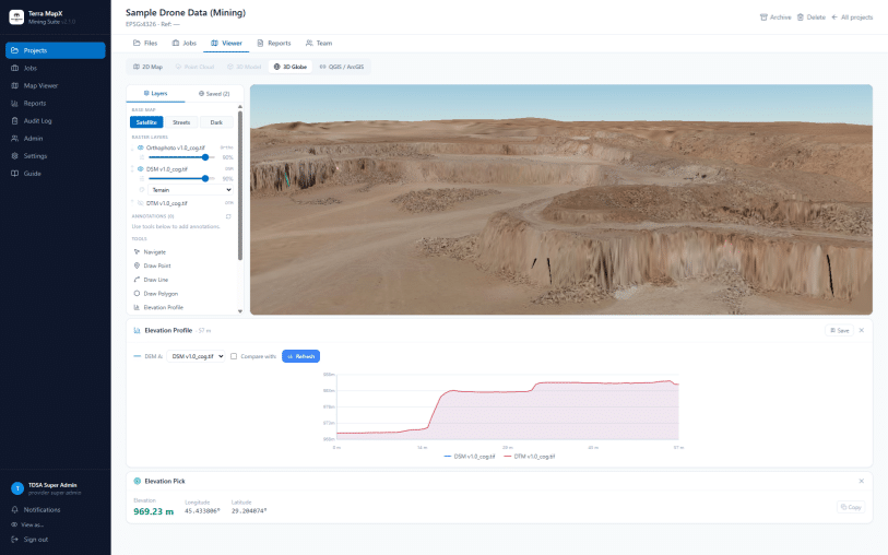
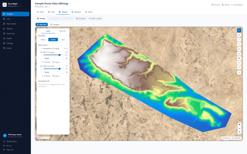
أورثوموزاييك بجوار شبكة ثلاثية الأبعاد لتضاريس الاستكشاف

الفوتوغرامتري ورسم الخرائط التصويرية بالدرون

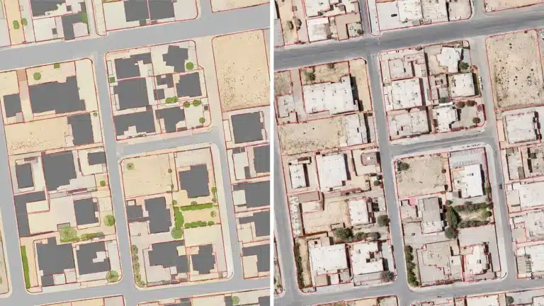
Aerial imagery from high-resolution enterprise photogrammetry sensors is processed into orthophotos, DSM, DTM, and 2D CAD data via Terra Mapper, SimActive Correlator3D, and Agisoft Metashape at 2-5 cm GSD.

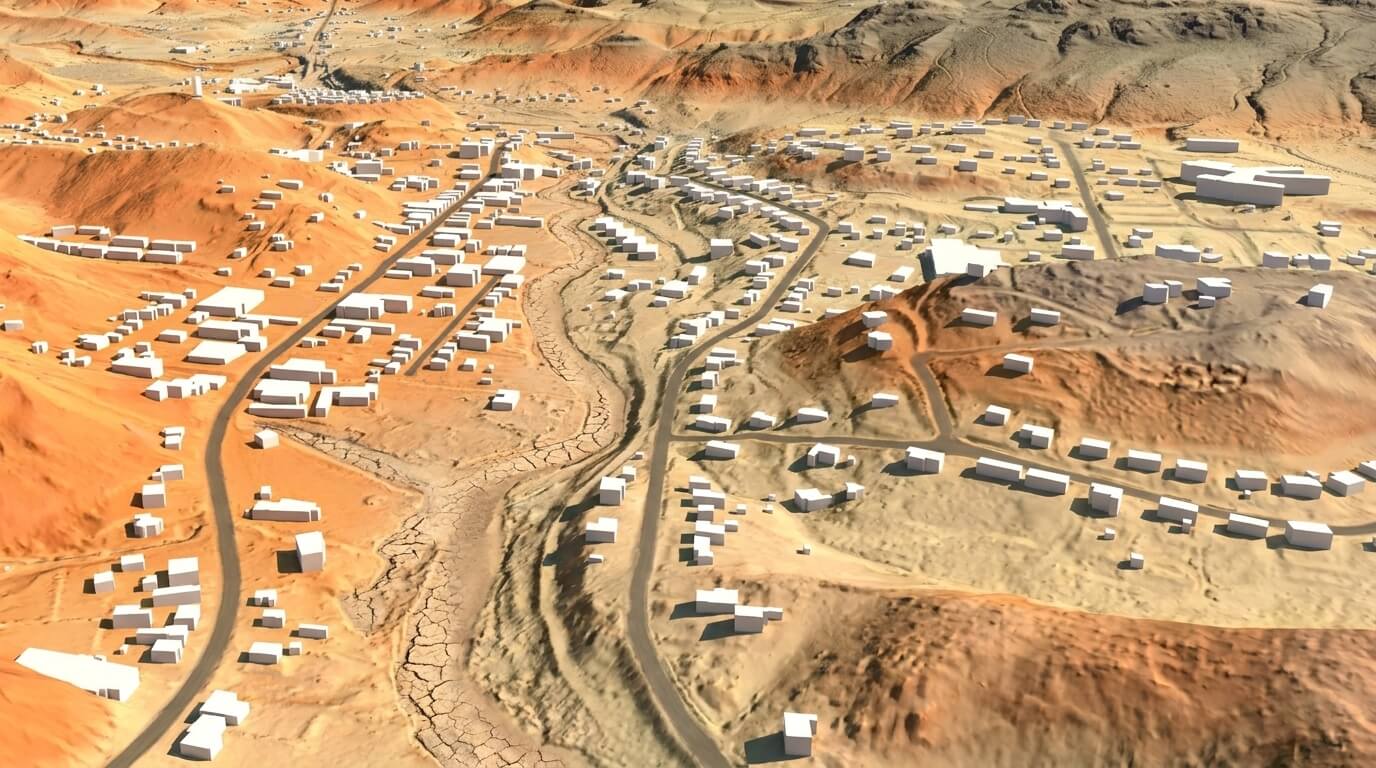
نموذج ارتفاع ثلاثي الأبعاد باستخدام تقنية الليدار يوضح واديًا وتضاريس وطرقًا ومباني في المملكة العربية السعودية.

التقاط بيانات الارتفاع بالليدار.

Airborne LiDAR sensors capture dense point clouds for bare-earth DTMs in vegetated terrain, wadis, and steep slopes where photogrammetry cannot see ground, producing classified clouds and contour data.

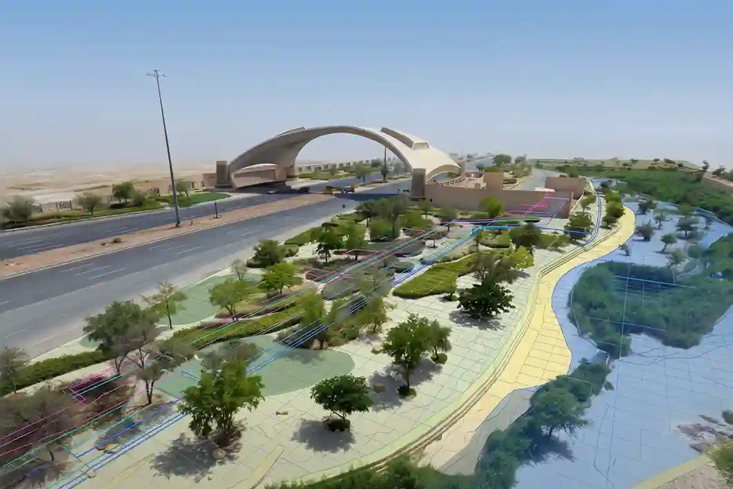
A computer screen showing a 3D digital terrain model and topographic map of a park layout with clear color-coded zoning boundaries and digitized underground pipeline pathways.

النمذجة ثلاثية الأبعاد وإنشاء التوأم الرقمي

Drone survey data processed in-house generates detailed 3D point clouds, DTMs, and textured meshes that import directly into BIM and CAD environments for as-built verification and progress monitoring.

طائرة بدون طيار تقوم بمسح موقع بناء به عمال ومعدات.

مراقبة تقدم الإنشاءات

Repeat drone flights at project milestones compare as-built conditions against design baselines and track volumetric earthworks, delivering timestamped orthomosaics, cut-fill volumes, and progress reports.

Automatic Feature Extraction & Change Detection

Terra GeoAIX extracts kerbs, markings, and site assets across the dataset at +/-0.02 m boundary accuracy from a few operator-drawn examples, then detects change between survey dates for review before delivery.

المخرجات

ما الذي تتلقاه

Orthomosaics, DSM and DTM, contours, CAD topographic plans, point clouds, 3D meshes, volume calculations, and accuracy reports, all in standard GIS-ready and BIM-compatible formats.

خريطة أوثومزيك (GeoTIFF، ECW، خرائط مبلطة)

نموذج السطح الرقمي (DSM) - GeoTIFF

نموذج التضاريس الرقمي (DTM) - أرض خالية، GeoTIFF

مخططات طبوغرافية متوافقة مع CAD (.DWG / .DXF)

خطوط الكنتور وشبكة الارتفاعات

رسومات CAD ثنائية وثلاثية الأبعاد

سحابة النقاط ثلاثية الأبعاد (.LAS / .LAZ)

نموذج ثلاثي الأبعاد بالنسيج (.OBJ)

قواعد بيانات مكانية ومخرجات متوافقة مع GIS (.KML / .SHP / .GeoJSON)

حسابات الأحجام (المخزونات والحفريات)

Terra MapX Change Detection & Progress Reports

Survey Accuracy Assessment Report (GCP Residuals & ICP Checks)

Terra GeoAIX Feature Extraction Layers (Automatic Digitization)

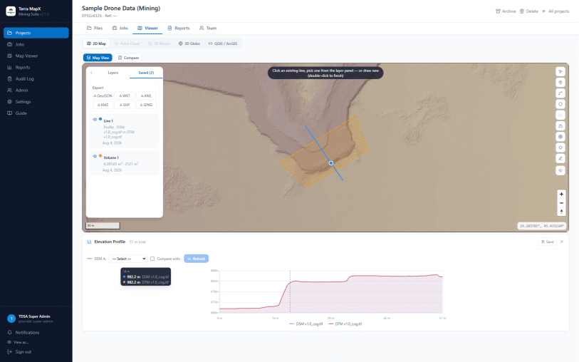
Interactive Map & Data Layers Shared via Terra MapX

المنصات والتطبيقات

منصة الدرون المناسبة لكل مهمة مسح

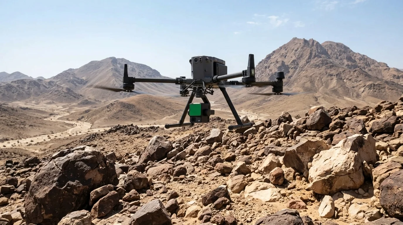
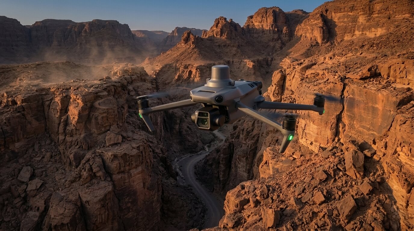
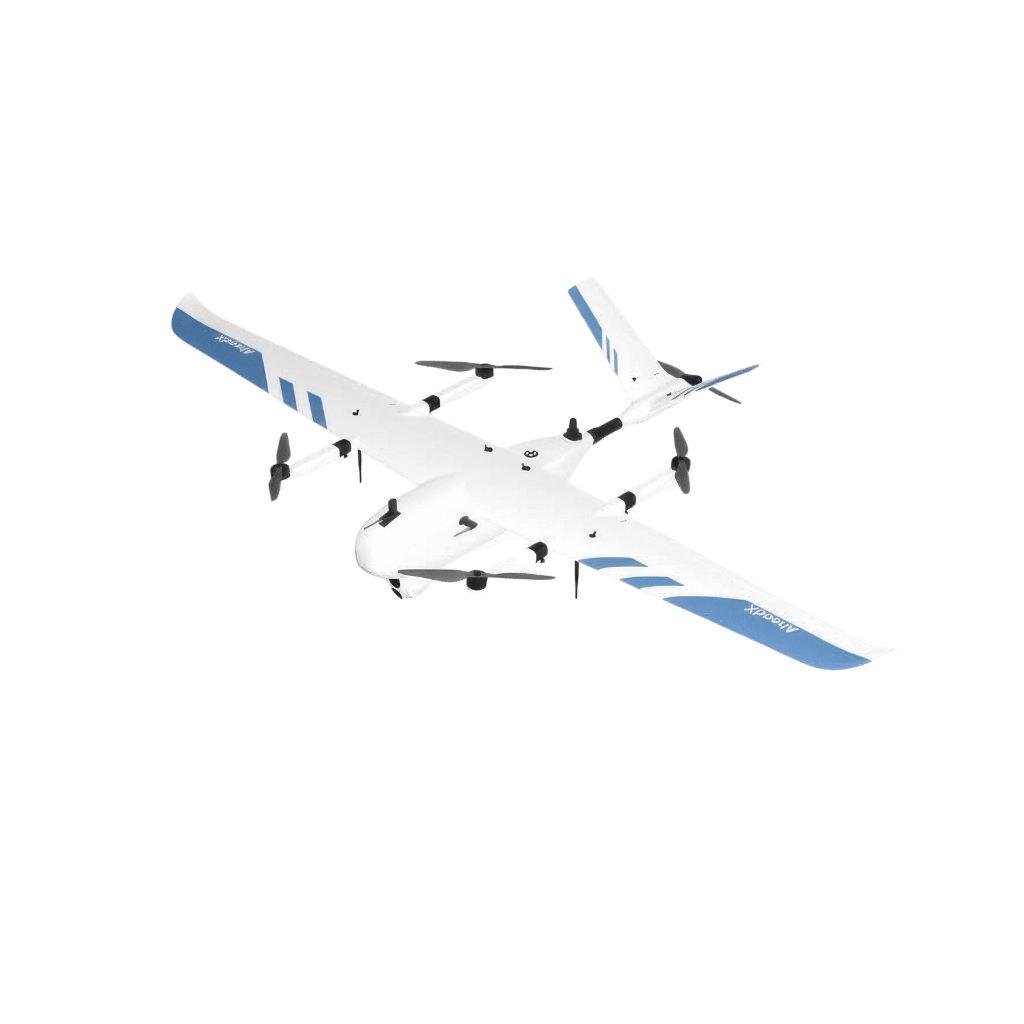
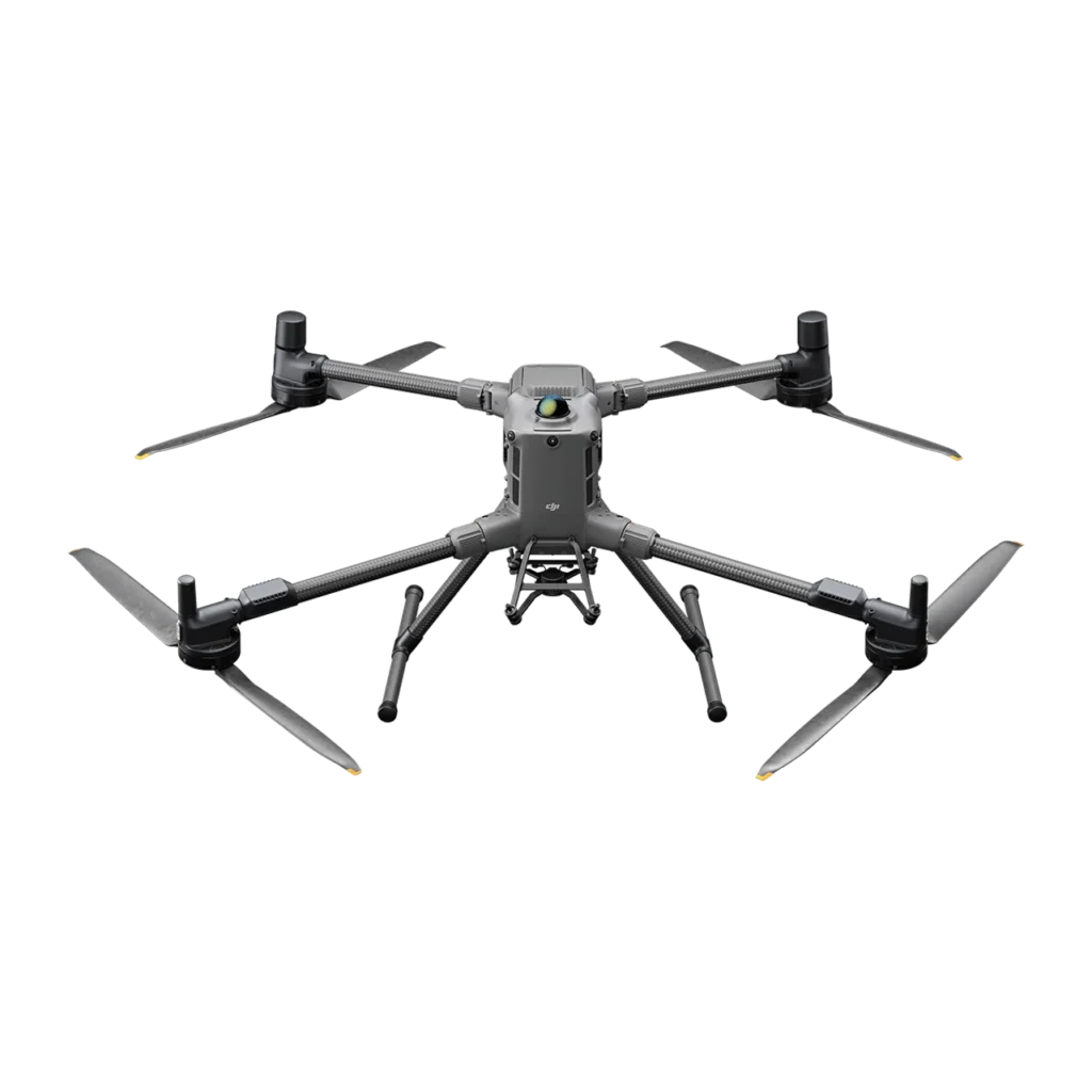
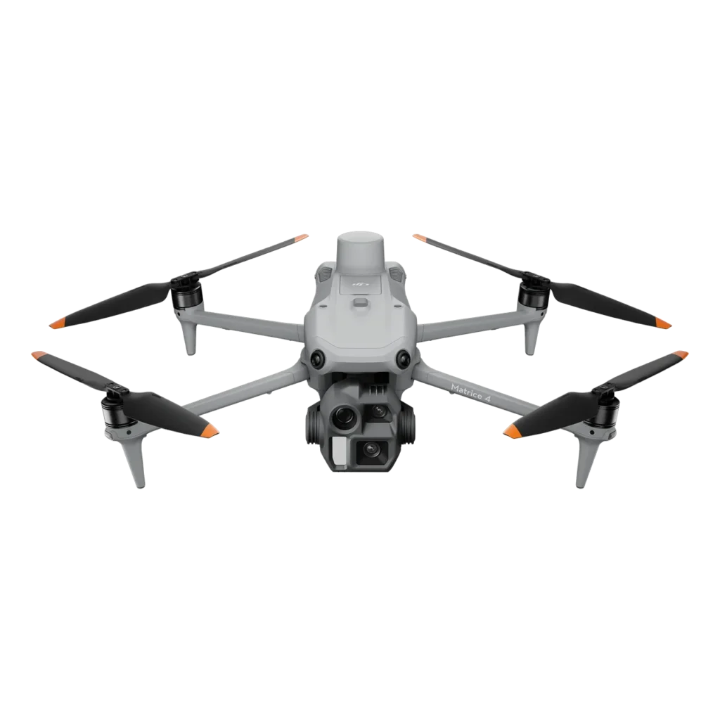
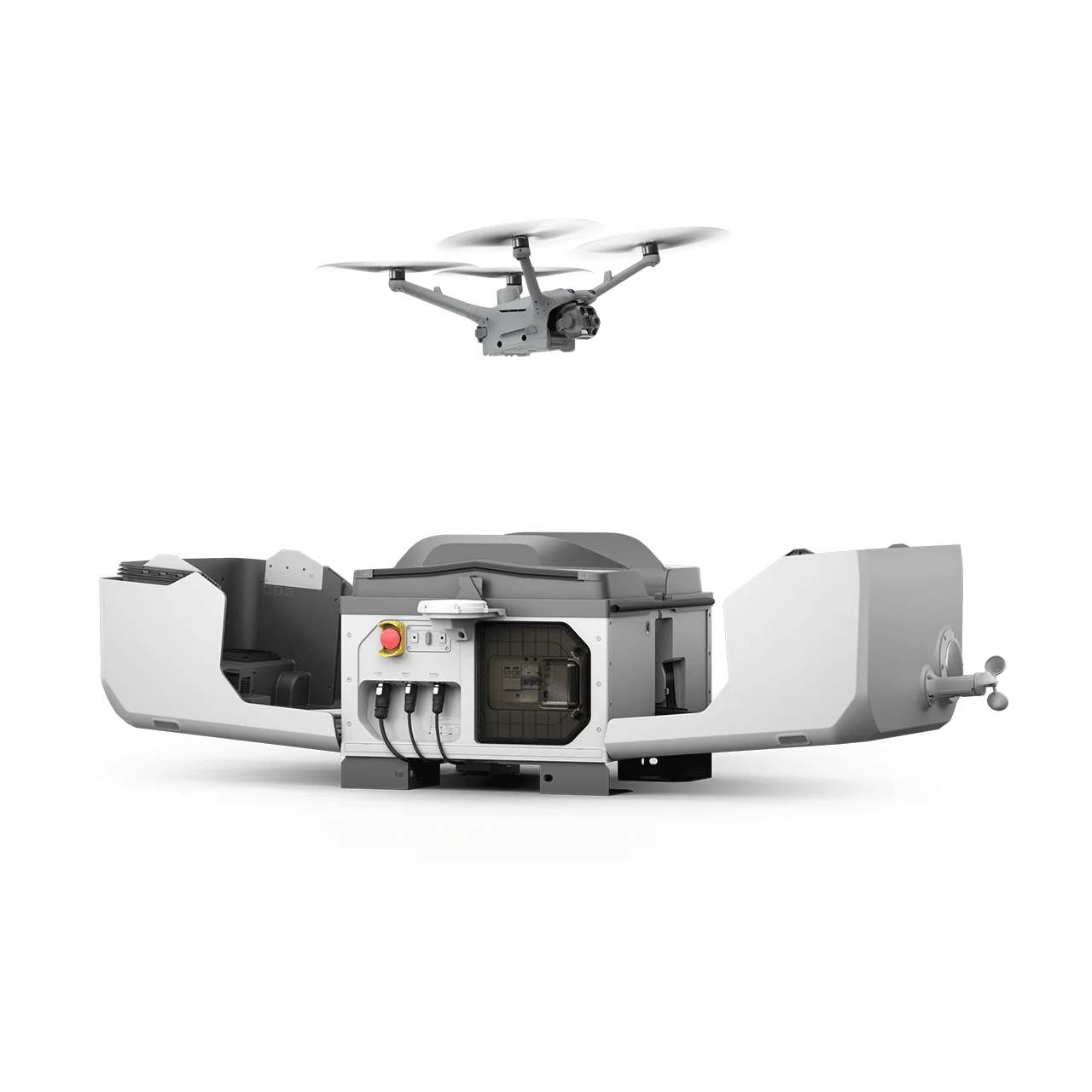
Fixed-wing VTOL for corridors and large areas, enterprise multirotors for LiDAR and complex sites, compact drones for rapid mapping, and an autonomous dock station for scheduled flights without an onsite crew.

البناء والبنية التحتية

Pre-design base surveys, progress monitoring, cut-fill earthworks documentation, and as-built verification for roads, utilities, bridges, and construction projects across Saudi Arabia.

التعدين والمحاجر

مسوحات حجمية للمخزونات ورسم خرائط حدود الحفر وطرق الوصول لعمليات التعدين. تتولى تقنيات الفوتوغرامتري عبر الدرون والليدار مسح تضاريس المناجم والمخزونات بأمان.

التخطيط الحضري والمدن الذكية

رسم خرائط جوية على نطاق المدينة لتحليل استخدام الأراضي وتحديد حدود القطع وتخطيط الصرف وتكامل GIS في مشاريع التطوير العمراني.

النفط والغاز والصناعة

Site preparation surveys, pipeline corridor and facility mapping, tank farm documentation, and access road records for onshore oil, gas, and industrial projects across the Kingdom.

نتائج مثبتة

دراسات الحالة

Documented drone survey and mapping projects across construction, urban development, and road infrastructure in Saudi Arabia, from multi-square-kilometre sites to mountain road corridors.

High-Precision Aerial Topographic Mapping for Large-Scale Construction Site

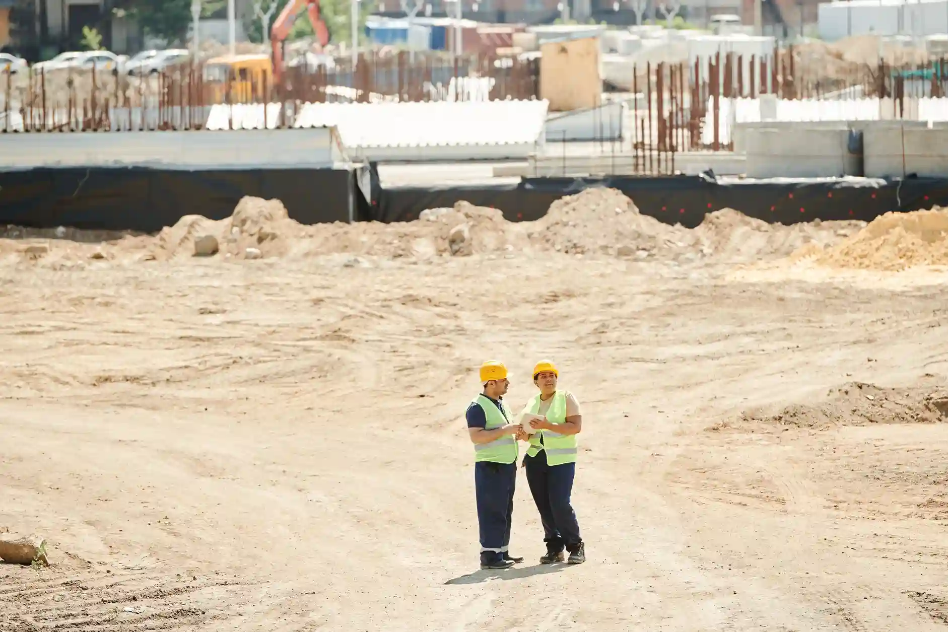
Project Overview Preparing multi-square-kilometer land plots for major civil infrastructure projects requires fast, reliable, and high-accuracy topographical data. For large-scale land enablement development, conventional ground surveying methods across a 9.5
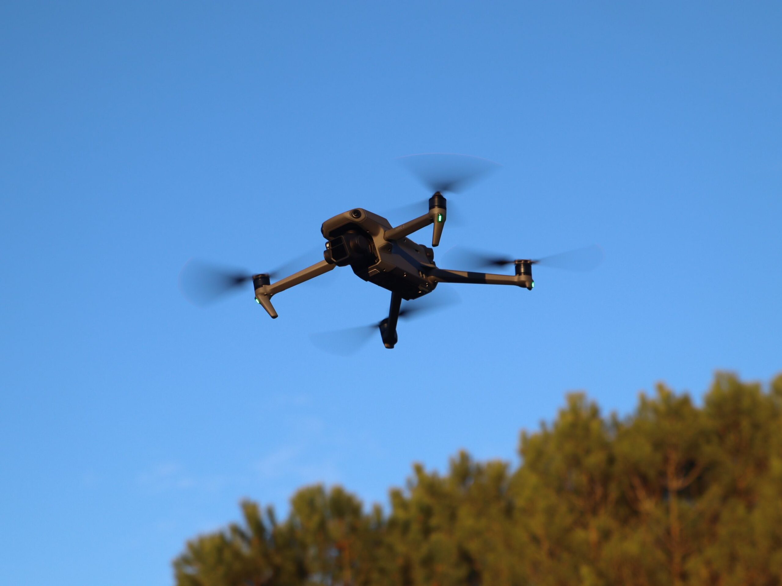
مسح بالدرون معتمد من GACA في المملكة العربية السعودية.

أسئلة متكررة

تحقق تقنية الفوتوغرامتري بالدرون مع RTK GNSS ونقاط الضبط الأرضية الموزعة بانتظام دقة أفقية (GSD) بين 2-5 سم، بدقة موضعية مطلقة مرتبطة بـ SANSRS/WGS84. كما تحقق منظومات الليدار دقة ارتفاع للأرض الخالية دون 5 سم، مُتحقَّق منها مقابل نقاط تحقق مستقلة. جميع نتائج الدقة موثقة في تقرير تقييم الدقة المرفق مع كل تسليم.
نعم، جميع عمليات الدرون التجارية في المملكة تستلزم تصريح الطيران المدني من الهيئة العامة للطيران المدني (GACA) وفقًا لـ GACAR 107. تيرا درون العربية تحمل اعتماد GACA الساري وتنسق جميع تصاريح الطيران المطلوبة مباشرة قبل بدء كل مشروع.
Drone survey and mapping covers aerial data acquisition missions using photogrammetry and LiDAR to produce orthomosaics, DSM, DTM, and point clouds. Topographic and land survey is a broader full-service capability that adds conventional GNSS RTK, Total Station, permanent benchmark installation, and GEOSA-licensed geospatial survey activity. For projects requiring both aerial data and GEOSA-licensed conventional survey.
For a typical construction site of 50-200 hectares, drone data is captured in one to two flight days and processed deliverables are ready within three to five working days. Larger corridor or multi-area missions scale accordingly. In-house processing with Terra Mapper eliminates third-party bottlenecks; deliverables are visualized and managed in Terra MapX and shared via Terra Cloud where project schedules require it.
تشمل المخرجات القياسية صيغ DWG وDXF لبرنامجي AutoCAD وCivil 3D، وسحب النقاط (Point Clouds) بصيغتي LAS وLAZ لنمذجة معلومات المباني (BIM) والتضاريس، ونماذج الارتفاعات الرقمية بصيغة GeoTIFF لـ DSM وDTM، والصور الجوية المصححة (Orthomosaic) بصيغتي GeoTIFF وECW، بالإضافة إلى ملفات SHP وKML وGeoJSON لبرنامج ArcGIS ومنصات نظم المعلومات الجغرافية (GIS). جميع المخرجات منسقة ومسماة للاستيراد المباشر دون الحاجة إلى إعادة تنسيقها.
Terra GeoAIX trains an AI feature detector from a handful of examples an operator draws directly on the orthomosaic, no labelled training dataset or GPU cluster required, and extracts kerbs, markings, signs, and site features with boundary accuracy of +/-0.02 m after refinement. Every detection is reviewed by a licensed surveyor before it reaches a deliverable. For tracking site change over time, Terra MapX runs a dedicated change-detection report comparing survey dates and computes cut-and-fill volumes directly from the same sub-5 cm dataset alongside standard deliverables.
Yes. DJI Dock 3 with the DJI M4D executes scheduled aerial data collection missions on a remote cadence, reducing the need for a continuous on-site crew. All Dock 3 missions run under the same GACA-approved flight authorization covering every Terra Drone Arabia deployment. Captured imagery feeds directly into Terra Mapper processing and Terra MapX visualization for repeat baseline surveys and progress monitoring.
Then we run the same scope on the ground and you get the same deliverable. Every survey we quote carries two options. Option A is what this page describes: drone photogrammetry or LiDAR, with GNSS RTK ground control tying the data to SANSRS/WGS84. Option B replaces the flight with GNSS RTK survey, Total Station for detail points and obstructed areas, and handheld laser scanning where dense geometry is needed. Both routes reach sub-5 cm accuracy and produce the same CAD, contour, DTM, and coordinate outputs, so the choice is about your programme rather than about data quality. We hold GACA and GEOSA authorization and coordinate every permit ourselves, and we will tell you early if clearance looks likely to sit on your critical path. You can also start on the ground and add aerial capture once approval comes through, delivered by the same in-house team that runs our topographic land survey work.

معتمد من الهيئة العامة للطيران المدني (GACA) · مدعوم من واعد أرامكو · دقة تصل إلى أقل من 5 سم

احصل على بيانات جوية فائقة الدقة وتخلص من عقبات التأخير في أعمال المسح

Aerial drone view of Riyadh skyline in Saudi Arabia

Get the Drone & Geospatial Brief, Saudi Arabia

Real project breakdowns, GACA regulatory updates, and field-tested case studies from oil and gas, mining, and infrastructure operations. Used by engineering and procurement teams at Saudi Arabia’s largest operators. 

Joined by 2K+ industry professionals in Saudi Arabia.