شعار TDSA إيجابي طويل

Drone Surveillance, Safety & Emergency Response in Saudi Arabia

GACA-certified drone surveillance in Saudi Arabia. Autonomous DJI Dock patrols, thermal perimeter monitoring, AI safety violation alerts, and rapid emergency response.
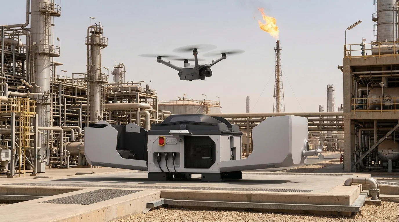
فحص ذاتي لطائرة مسيرة في صندوق في مصفاة نفط سعودية: محطة إرساء وجدولة مسح جوي عبر الإنترنت للأصول الصناعية

المزايا

Continuous Aerial Coverage Your Ground Teams Cannot Match

Autonomous patrols, lower exposure for ground teams, AI safety alerts, and real-time thermal awareness from a GACA-certified drone team.

Round-the-Clock Coverage Without Extra Headcount

Autonomous DJI Dock stations fly scheduled and alarm-triggered patrols on their own, so you extend perimeter coverage across every shift without adding guards, vehicles, or night rotations.

See What Your Cameras Miss After Dark

Radiometric thermal paired with high-zoom optical picks out human and vehicle heat signatures along unlit fence lines, and streams both views live to your operations centre.

Aerial Eyes on Scene Before Your Team Arrives

On a security, fire, or medical trigger the nearest aircraft launches automatically, giving incident commanders a live overhead picture while ground crews are still mobilising.

Keep Your People Out of Harm's Way

Patrols cover high-risk zones, live process areas, and remote fence lines from the air, so your team verifies a threat from a screen rather than walking into it on foot.

Catch Safety Violations While They Are Still Fixable

AI review of every patrol flags missing PPE, entry into restricted zones, blocked exits, and unsafe crowd build-up, turning safety from a periodic spot audit into a continuous check.

Your Footage Never Leaves Your Network

Detection runs offline on hardware inside your own network, so video, faces, and incident data stay on site: the deployment model defence, utility, and government buyers ask for.

Turn the Cameras You Already Own Into Detectors

The same detection engine runs on installed CCTV, RTSP feeds, and recorded video, not only on drone cameras, so cameras bought years ago start raising alerts alongside the fleet.

Operators Watch Alerts, Not Hours of Empty Video

Automatic detection and counting of people, vehicles, and crowd density surfaces only the frames that matter, so one operator covers more cameras and more flight hours than before.

Every Incident Leaves an Auditable Trail

Encrypted video, GPS-tagged detections, and dispatch timings are archived and tracked through a governed case workflow, giving managers defensible evidence for investigations and audits.

تحديات

Where Ground-Only Patrols and Fixed Cameras Fall Short

Ground patrols and fixed CCTV leave blind spots across long site borders, weak night visibility, and slow response to remote alerts.

Long Site Boundaries Outrun Ground Patrols

Refinery footprints, mega-construction sites, and utility corridors run for kilometres, and a fixed number of patrol vehicles cannot hold continuous watch over all of it.

Remote Alerts Wait for Someone to Drive There

A sensor trip at the far fence line is only a guess until a person reaches it, and the drive across a large site delays every decision that follows the alert.

Darkness and Dust Hide What Cameras Should Catch

Fixed CCTV and the human eye lose reliability along unlit boundaries, and desert dust and haze reduce what a standard visual camera can resolve at range.

Round-the-Clock Guarding Costs Keep Climbing

Holding 24/7 patrol coverage over multi-kilometre boundaries means more headcount, more shift rotations, and a vehicle fleet that has to be fuelled and maintained.

Safety Violations Surface Only After the Incident

Missing PPE, blocked exits, and entry into restricted zones are usually recorded in a periodic walk-around, which means the gap is documented long after it opened.

Commanders Improvise Without a Live Overhead View

When systems are not connected, incident commanders coordinate a fire, spill, or breach from radio reports alone, with no shared aerial picture of what is actually happening.

التقنيات و الأساليب

Drone Surveillance Workflows for Security, Safety & Response Teams

These workflows combine autonomous docks, thermal-optical zoom, and AI video analytics to speed up verification, safety checks, and incident response.
Drone flight path constrained by virtual geo-fence boundaries.

Security Perimeter Aerial Patrols

Automated flight paths along facility fences detect perimeter intrusions and unauthorised access using optical and thermal zoom sensors linked to security hubs.
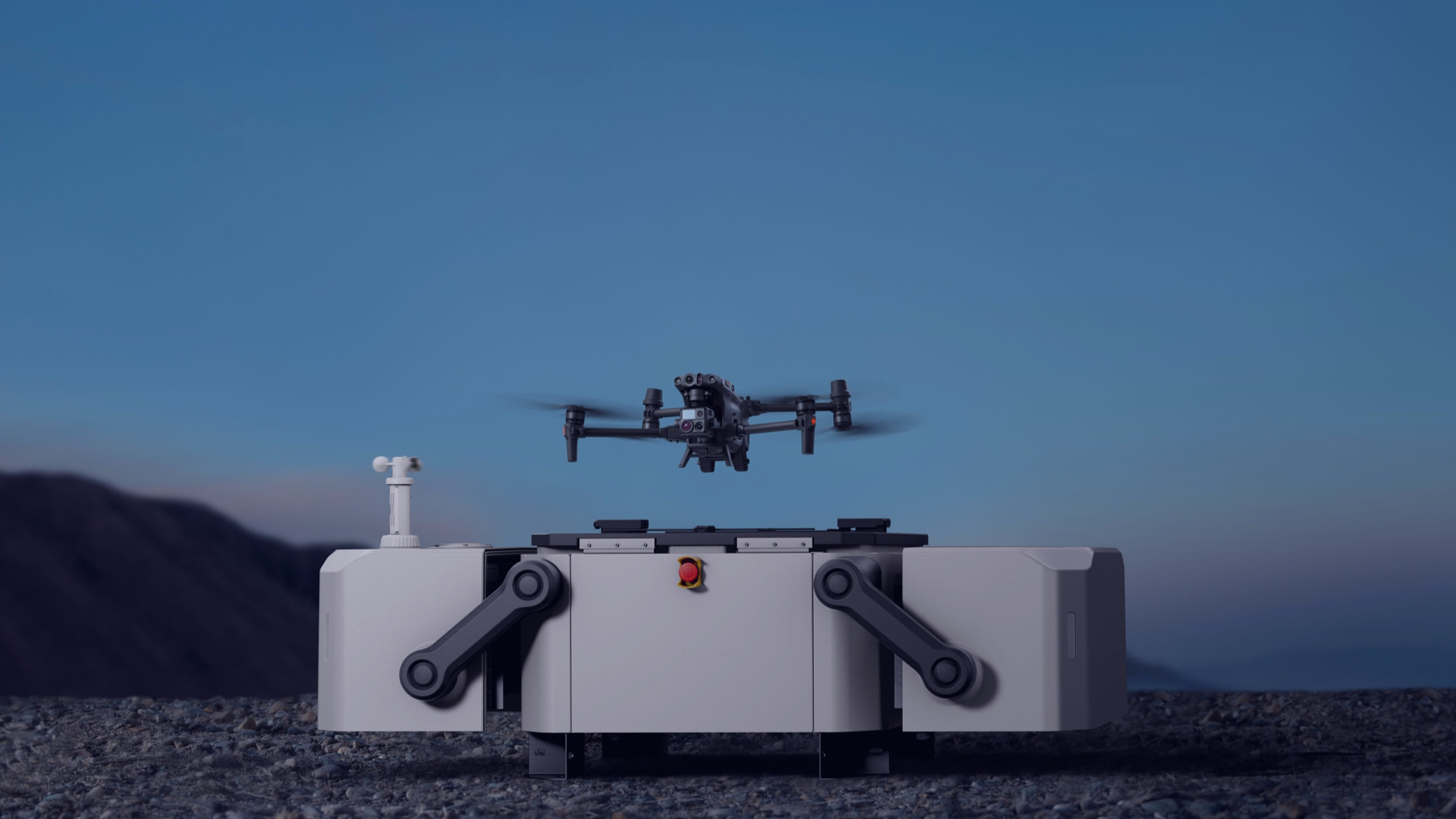
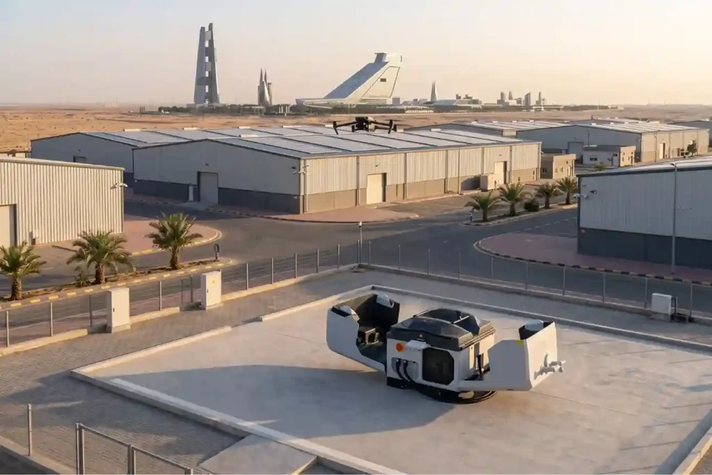
Autonomous drone launching from a drone-in-a-box station at dusk

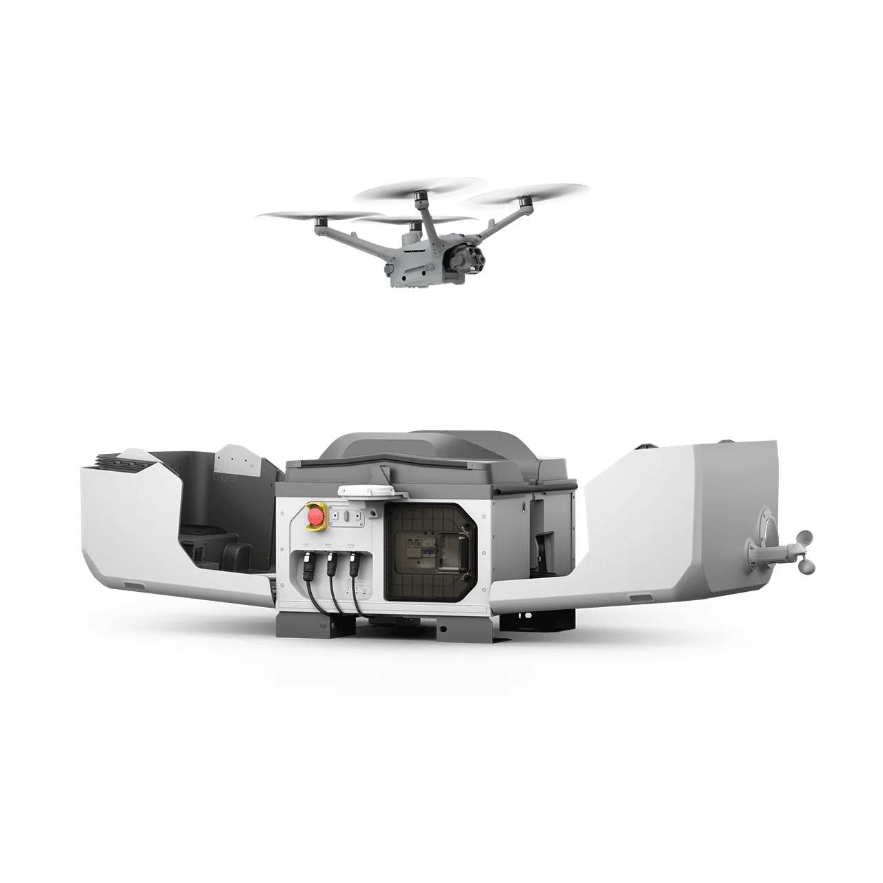
Drone-in-a-Box Autonomous Operations

Self-charging DJI Dock stations deploy autonomous drones on automated schedules, delivering continuous site surveillance with zero onsite crew requirements.
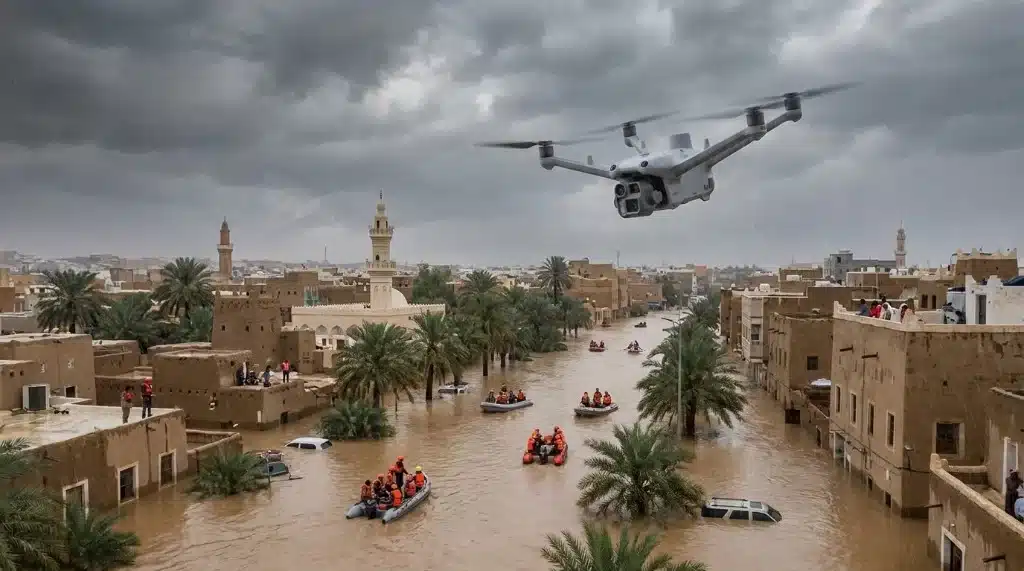
DJI Dock 3 drone data collection for smart city monitoring.

Emergency Response & Incident Assessment

Rapid drone deployment provides live thermal imagery for fire assessment, hazard tracking, and structural incident evaluation, guiding response crews safely.
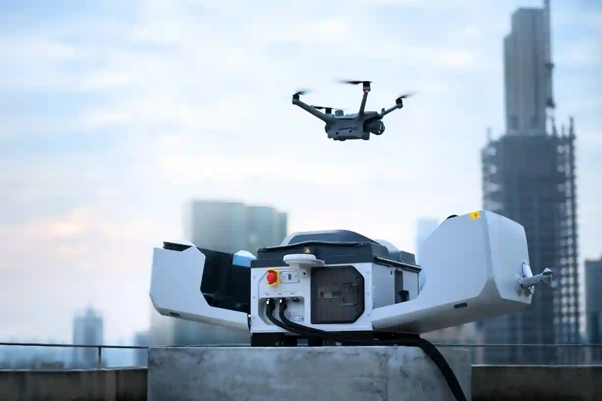
DJI Dock 3 drone monitoring a smart city.

Safety & HSE Violation Aerial Monitoring

High-altitude sweeps paired with AI video analytics flag PPE non-compliance, unauthorised hazardous-zone entry, and near-miss events across active sites.
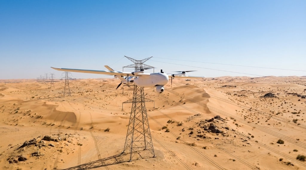
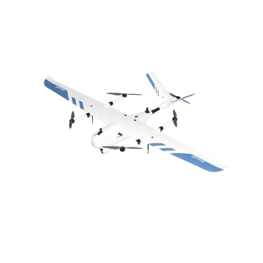
Long-Corridor Fixed-Wing VTOL Patrol

Fixed-wing VTOL flights cover tens of kilometres of pipeline, transmission lines, and transport corridors in a single sortie, extending reach far past multirotor range.
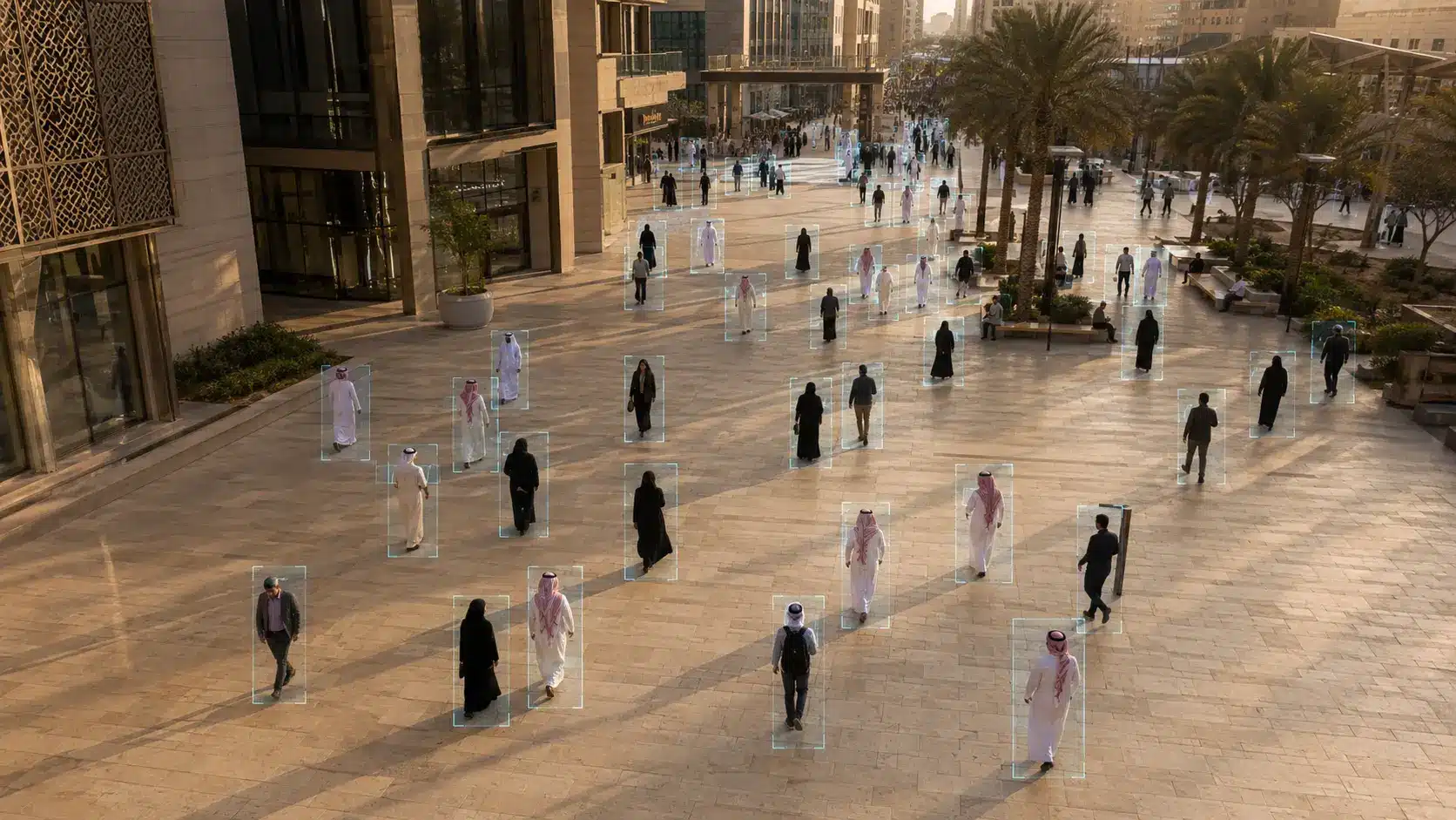
AI Video Analytics on Live & Recorded Feeds

Offline AI models process RTSP streams, drone video, and CCTV on site, detecting intruders, vehicles, crowd density, and safety violations without sending data to the cloud.
المخرجات

Evidence Your SOC, HSE & Response Teams Can Act On

Live video, thermal logs, AI detection records, incident timelines, and GIS layers prepared for SOC, HSE, and command integration.

Real-Time Encrypted Video Streams (RTSP, Web Portal, SOC / VMS Integration)

Thermal Infrared Perimeter Patrol Logs (Radiometric & MP4)

Intrusion & Incident Verification Reports (PDF, KMZ)

Autonomous Drone-in-a-Box Patrol & Mission History (FlightHub 2 / Automated Logs)

Emergency Response Situational Briefings (PDF Brief, Video Clip Package)

HSE & PPE Compliance Audit Records (AI-Flagged Log, Case Workflow)

AI Object Detection, Counting & Watchlist Match Logs (CSV, JSON, Dashboard)

AI-Extracted Site Perimeter GIS Layers (SHP, GeoJSON, DXF)

المنصات والتطبيقات

Drone Platforms Matched to Your Mission

From autonomous DJI Dock stations to fixed-wing VTOL, each platform is selected for perimeter patrol, night monitoring, or rapid incident verification.

Refineries & Petrochemical Plants

Continuous perimeter fence surveillance, flare stack thermal monitoring, and long-distance pipeline corridor patrol for energy assets in Saudi Arabia.

Mega-Construction & Infrastructure

Perimeter protection, material theft prevention, and HSE compliance monitoring across expansive construction footprints and worker zones.

Power Utilities & Critical Infrastructure

Substation border patrol, solar farm security sweeps, and water plant perimeter monitoring to safeguard critical national infrastructure.

Ports, Logistics & Industrial Cities

Port perimeter monitoring, storage yard security surveillance, and industrial zone access control support for commercial logistics hubs.

Smart Cities & Municipal Monitoring

Autonomous municipal sweeps, public-space asset monitoring, traffic bottleneck observation, and urban code-compliance checks.

Large Events & Crowd Safety

Live aerial crowd-density observation, bottleneck detection, and rapid emergency dispatch for festivals, sports events, and national gatherings.

نتائج مثبتة

دراسات الحالة

Documenting large-scale sites from the air for critical infrastructure and mega-projects across Saudi Arabia.

Tracking Coastal Mega-Projects From Above

Executive Summary Managing large infrastructure changes along coastal zones requires up-to-date visual timelines. This project shows how a commercial flight team deployed compact enterprise drones to build a complete visual

CERTIFIED SURVEILLANCE & RESPONSE IN SAUDI ARABIA

أسئلة متكررة

A Drone-in-a-Box station such as DJI Dock 3 keeps the aircraft in a weather-sealed enclosure. Missions are planned and scheduled in DJI FlightHub 2, and the station launches, streams live video, lands, and recharges on its own with no pilot on site. Terra DFR connects the station to your alarm and dispatch systems so a patrol can also launch on an incident trigger, and Terra Stream analyses the feed as it arrives.
Yes. All commercial drone surveillance flights require civil aviation authorisation from the General Authority of Civil Aviation (GACA) under GACAR Part 107, alongside security clearance for flights over a facility. Terra Drone Arabia holds active GACA credentials and manages every flight approval directly.
Yes. The Zenmuse H30T carries radiometric thermal alongside wide, long-range zoom and a laser rangefinder in one gimbal, so human and vehicle heat signatures stay visible in complete darkness and remain readable through dust and haze that defeat a standard visual camera. DJI Dock stations monitor local weather and are built for extreme desert conditions.
Live video is streamed over encrypted RTSP or a web dashboard into your SOC and video management system (VMS), so commanders watch aerial thermal and optical video beside their CCTV walls. Terra Stream layers detection and counting over that feed, and Terra DFR bridges the same integration in the other direction so a VMS or alarm event can dispatch a drone automatically.
It stays on site. Terra Stream runs inference locally on a workstation or GPU server inside your own network, so footage, face data, and detection results never have to leave it. Terra GeoAIX is on-premise in the same way. This is the deployment model defence-adjacent, utility, and government facilities in Saudi Arabia normally require, and it is available without a cloud processing agreement.
Both. The same detection engine runs on perimeter security and workplace safety: it flags missing PPE, entry into hazardous zones, blocked exits, and unsafe crowd density alongside intrusion and vehicle detection. Findings are then tracked as cases in Terra IRP, so one aerial platform covers security, safety violation monitoring, and emergency response together.
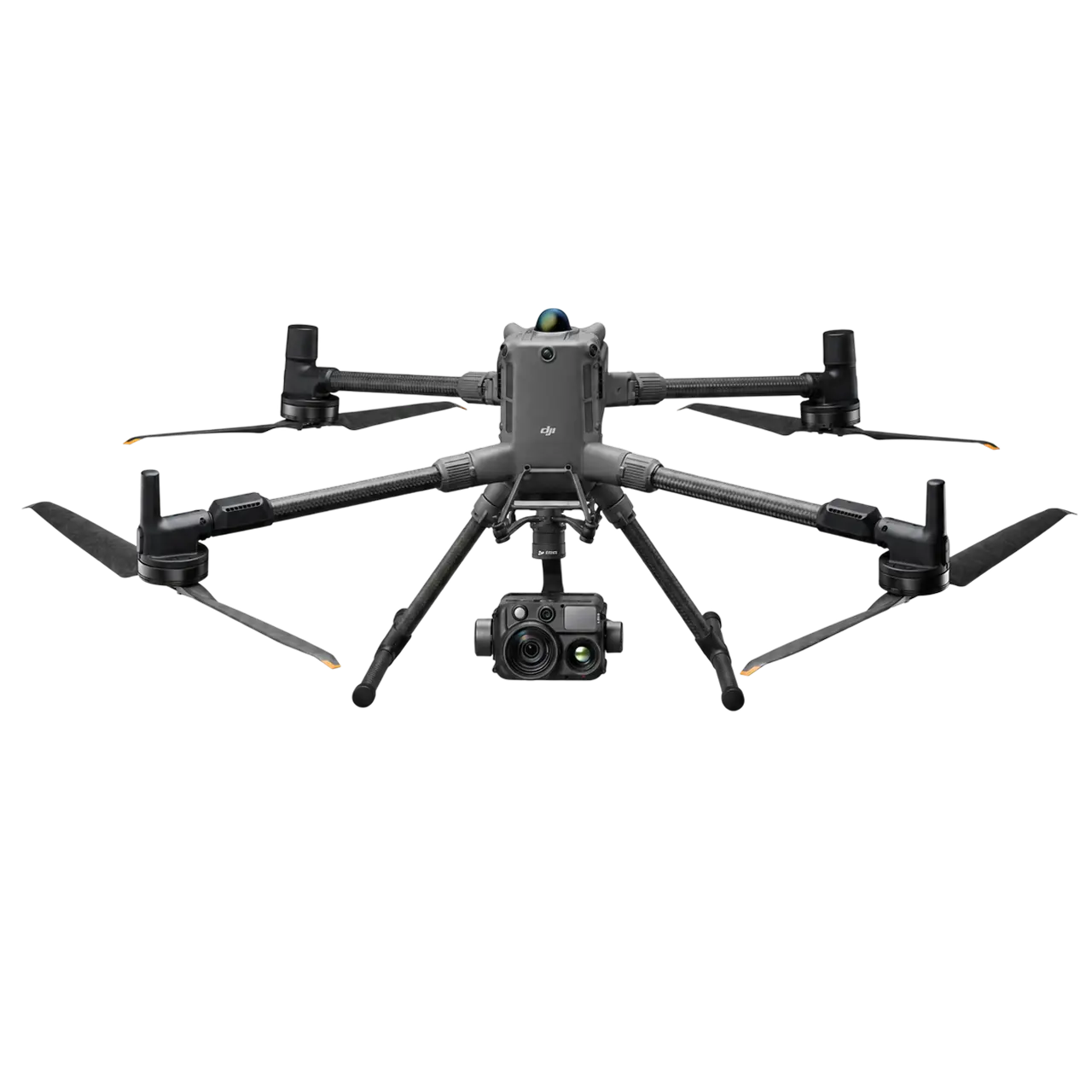
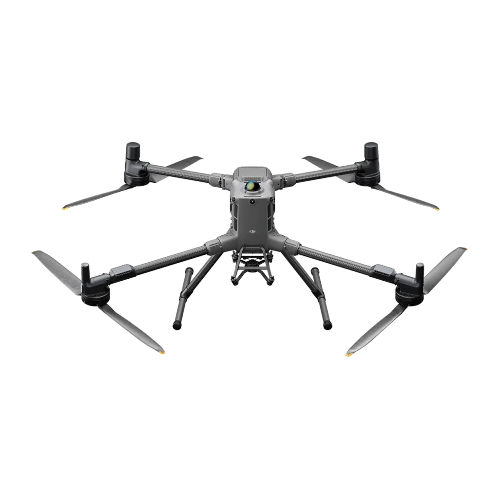
Multirotor aircraft such as the DJI M350 RTK or M400 hover in place, launch from tight industrial sites, and suit perimeter patrol, thermal inspection, and rapid dispatch across a few kilometres. The Quantum Trinity Pro fixed-wing VTOL takes off vertically like a multirotor but then cruises like an aircraft for over two hours, which makes it the right choice for pipeline corridors, transmission lines, and multi-kilometre boundaries beyond multirotor range.

GACA-Certified · 24/7 Drone-in-a-Box Security

Put Continuous Aerial Coverage Over Your Site

Aerial drone view of Riyadh skyline in Saudi Arabia

Get the Drone & Geospatial Brief, Saudi Arabia

Real project breakdowns, GACA regulatory updates, and field-tested case studies from oil and gas, mining, and infrastructure operations. Used by engineering and procurement teams at Saudi Arabia’s largest operators. 

Joined by 2K+ industry professionals in Saudi Arabia.