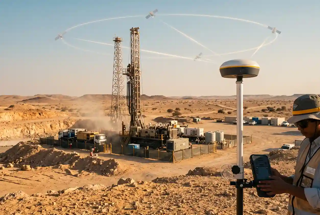
Saudi Arabia’s mining exploration has moved from maps and plans to rigs on the ground. In the space of a single year, the number of projects with a drill turning in the Kingdom almost tripled. S&P Global Market Intelligence reports that 160 projects were drilled in Saudi Arabia in 2024, up from 58 in 2023. The same S&P Global Market Intelligence analysis shows that the Kingdom’s minesite exploration budget, which covers work at and around existing mines, reached SAR 548 million in 2025, up from SAR 79 million in 2022.
Behind those figures sit thousands of individual drill holes. Every one of them starts at a single point on the ground, the collar, and every one of them needs to be in the right place. A drill hole set up a few metres off its planned position can miss a narrow vein, skew a geological model or force a costly redrill. When a drilling program grows from dozens of holes to hundreds, those small errors stop being small.
This article looks at why drill hole collar accuracy matters more than ever in Saudi Arabia, and how RTK GNSS makes precise exploration surveys practical on remote sites. We walk through a simple three-step workflow, from staking a planned collar to handing clean coordinates to the geology team. We also cover how to plan collar surveys around the Kingdom’s summer heat and its midday work ban, so crews stay safe and programs stay on schedule.
Why Now: Saudi Arabia’s Mining Exploration Boom
Mining is one of the pillars of Saudi Arabia’s Vision 2030 plan to diversify the economy beyond oil. For years, that ambition lived mostly in strategy documents. Today, it shows up clearly in the licensing data.
In its ninth licensing round, Saudi Arabia awarded 172 mining sites across three mineral-rich belts, according to S&P Global Market Intelligence. Argaam reports that 24 companies and consortia won the exploration licenses in that round. Winners pledged about SAR 671 million, and S&P Global Market Intelligence calls it the largest licensing round in the country’s history.
Each of those licenses comes with work commitments. New license holders need to map their ground, sample it and, sooner or later, drill it. That means the jump in drilled projects that S&P Global Market Intelligence recorded between 2023 and 2024 is unlikely to be a one-off peak. It looks more like the start of a sustained drilling cycle.
For exploration managers, this creates a capacity question. Rigs, geologists and assay labs get most of the attention, but survey capacity has to keep pace too. Every planned hole must be staked before the rig arrives, and every completed hole must be picked up before the pad is cleared. When survey crews fall behind, rigs wait, data arrives late and errors creep in as teams rush to catch up.
The companies that handle this boom well will be the ones that treat the exploration survey as part of the drilling program from day one, not as an afterthought.
What Is a Drill Hole Collar Survey?
The collar is the point where a drill hole meets the ground surface. It is the starting point for everything the hole tells you. Downhole survey tools record the hole’s direction and dip as it goes deeper, but those readings are relative. Without an accurate collar position, there is nothing to anchor them to.
A collar survey has two jobs:
- Before drilling: stake out the planned collar, so the rig sets up where the geologists designed the hole.
- After drilling: pick up the as-drilled collar, recording where the hole actually entered the ground.
For each hole, the survey records easting, northing and elevation, tied to the hole ID and the project’s agreed coordinate system. Many teams also log the survey date, the instrument used and a photo of the collar marker, so anyone checking the data later can trace each point back to the field.
Collar surveying is one part of a wider exploration survey. The same field teams often map topography, set out drill pads and access tracks, and establish ground control for drone or airborne surveys. Of all these tasks, the collars have the most direct link to the geological model, which is why they deserve a clear process of their own.
Why Collar Accuracy Matters
Drilling is the most expensive part of most exploration programs, and it is billed by the metre. Published drilling prices for Saudi Arabia are hard to find, so Australian data offers a useful reference point for the scale of the cost. IBISWorld forecasts greenfield drilling prices in Australia at AUD 438.47 a metre in 2025-26, about SAR 1,144 a metre. For brownfield work around known deposits, IBISWorld’s brownfield forecast works out at about SAR 975 a metre.
These are Australian prices, not Saudi ones, but they show what is at stake. Take a 200 m hole as an example: at the IBISWorld greenfield rate, that single hole would cost about SAR 229,000.
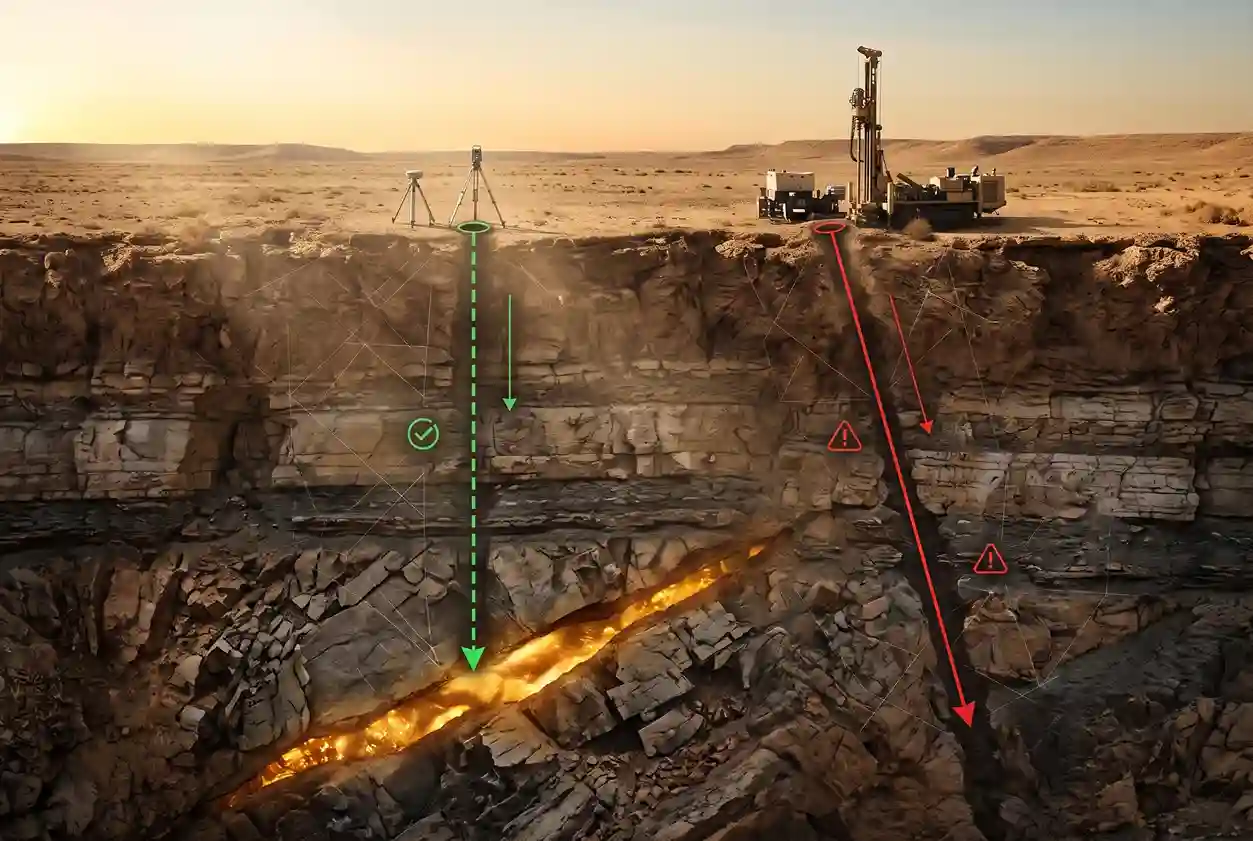
Now consider what happens when a collar is in the wrong place. If the rig sets up several metres off design, the hole may pass beside a narrow vein instead of through it. If the as-drilled position is recorded wrongly, every intercept along the hole shifts in the model by the same amount. In both cases, the company has paid full price for a hole that answers the wrong question.
The costs compound from there. A missed target may need a redrill. A mispositioned intercept can distort how grades are interpolated between holes, inflating or understating a resource. Errors found late, during resource estimation or an audit, are slow and expensive to trace back to the field, especially once pads have been rehabilitated and markers removed.
Accuracy also matters for credibility. Resource estimates reported to investors and regulators are expected to rest on reliable data, and collar positions are among the first things a competent person or auditor will check.
The good news is that collar accuracy is one of the cheapest risks in exploration to control. Compared with the cost of the hole itself, a precise survey is a small line item, and that is where RTK GNSS comes in.
How RTK GNSS Supports Exploration Surveys
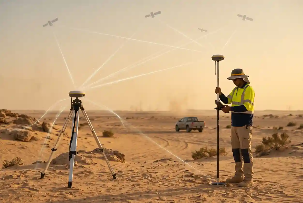
RTK GNSS (Real-Time Kinematic Global Navigation Satellite System) is the standard tool for fast, precise positioning on exploration sites. A base station sits on a known point and tracks satellites continuously. It sends corrections to a rover receiver carried by the surveyor. Using those corrections in real time, the rover can fix a position to centimetre-level accuracy within seconds.
For mining exploration in Saudi Arabia, RTK GNSS has several practical advantages:
- Speed. A surveyor can stake or pick up a collar in minutes, then move straight on to the next pad.
- No line of sight needed. Unlike a total station, the rover does not need a clear view back to an instrument, which helps on broken ground and long traverses.
- Wide coverage. One base can serve a large working area, and network or long-range corrections can extend coverage across big licence areas.
- Cleaner data. Coordinates are recorded digitally against hole IDs, which cuts out manual transcription errors.
RTK GNSS still depends on good practice. Before fieldwork starts, the survey team and the client should agree on the coordinate system and datum, the elevation reference and the staking tolerances. Each day should start with a check on a known control point, so any setup error is caught before it reaches the data.
RTK GNSS also works well alongside drone surveys. A drone survey can deliver an up-to-date terrain model for planning pads and access tracks, while RTK GNSS handles the precise collar positions and the ground control that ties the drone data to the same coordinate system. Together, they give exploration teams one consistent picture of the site.
A Three-Step RTK GNSS Workflow for Drill Hole Collars
A good collar survey process is simple, repeatable and easy to check. The three steps below cover a drill hole from design to database.
Step 1: Stake out the planned collars
The workflow starts before the rig arrives. The geology team provides a list of planned holes with IDs, coordinates, azimuth and dip. The surveyor loads these into the RTK GNSS controller, sets up the base on project control and checks a known point before starting.
At each planned position, the surveyor navigates to the design coordinates and marks the collar with a peg or marker labelled with the hole ID. For angled holes, a second peg can mark the azimuth line to help the driller align the rig. Agree tolerances in advance: how far from design a collar can move before a geologist needs to approve the change. If a pad cannot be built at the planned spot because of terrain or access, record the issue and flag it straight away, rather than letting the rig shift position informally.
Step 2: Pick up the as-drilled collars
Rigs rarely land exactly on the peg. Pad conditions, rig size and safety requirements can all move the actual collar away from design. That is why the as-drilled pickup matters just as much as the stake-out.
Once a hole is finished and the rig has moved off, the surveyor returns to record the collar’s true position, usually on the collar pipe or marker. Do this before pads are rehabilitated or markers are disturbed. Check the hole ID against the driller’s log and photograph the collar and its label. A simple daily list of holes completed versus holes surveyed makes sure nothing slips through.
Step 3: Give coordinates to the geologists
The final step turns field measurements into data the geologists can use. Export collar coordinates in an agreed format, usually a table with hole ID, easting, northing, elevation, survey date and instrument. Before handing it over, run basic QA checks: compare as-drilled positions against design, flag any hole outside tolerance, and confirm there are no duplicate or missing IDs. Keep version control simple, so everyone knows which file is current.
This step matters because collar coordinates flow straight into the geological model and, eventually, into resource numbers. Saudi Arabia’s recent results show how large those numbers can be. According to Ma’aden, as reported by The Business Standard, drilling added a net 7.8 million ounces of gold resources across four areas in January 2026, after initial drilling outlined more than nine million ounces. Ma’aden said the biggest gain was 3 million ounces at Mansourah Massarah, The Business Standard reports.
Resource figures like these are built hole by hole. Every intercept that feeds an estimate sits at a position calculated from its collar. Clean, checked collar coordinates are what allow geologists, and later investors, to trust that the ounces are where the model says they are.
Field Planning Around the Midday Work Ban
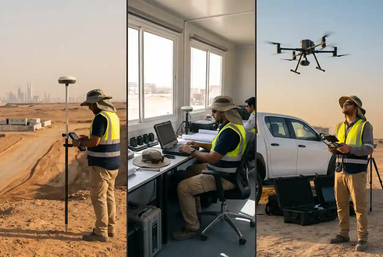
Saudi summers shape every outdoor work schedule. Saudi Arabia bans outdoor work in direct sunlight from 12:00 pm to 3:00 pm every year from 15 June to 15 September, according to Morgan Lewis و Gulf News. For field crews working for private-sector employers, the midday work ban removes three hours a day, for three months, from the working day.
For survey teams, this is a planning issue as much as a compliance one. A collar program that assumes full working days in summer will slip. A few ways to plan around the ban:
- Start early. Use the cooler hours after sunrise for stake-outs and pickups.
- Batch by area. Group holes so crews cover nearby pads in one run, cutting travel and time in the sun.
- Use the break well. Schedule data QA, exports and next-day planning for the 12:00 pm to 3:00 pm window.
- Coordinate with drilling. Align survey visits with rig moves, so pickups happen soon after each hole is finished.
- Plan for the season. If a large program is due to start in summer, front-load stake-outs in May or early June.
Rules and exemptions can differ by sector and site, so confirm how the ban applies to each project before locking in a schedule.
Field Safety: Protecting Survey Crews from Heat
Heat is a serious hazard for anyone working outdoors in the Gulf, and the risk does not end when the midday ban does. The International Labour Organization (ILO) reports that 83.6% of workers in the Arab States are exposed to excessive heat at work, the second highest share of any region, based on its most recent 2020 data. Worldwide, the ILO estimates that excessive heat causes about 22.85 million work injuries and 18,970 deaths a year.
These are regional and global figures rather than Saudi ones, but they describe the conditions survey crews face on exploration sites every day. Heat stress builds quietly. Fatigue and dehydration also lead to mistakes, such as a mislabelled peg or a wrong hole ID, so heat affects data quality as well as crew safety.
Practical measures make a real difference:
- Water, shade and rest. Provide plenty of cool drinking water and shaded rest areas at every work site.
- Work in pairs. A buddy system helps crews spot early signs of heat illness in each other.
- Shorter field shifts. Rotate crews during hot periods instead of stretching single long days.
- Know the warning signs. Train crews to recognise heat exhaustion and heatstroke, and to stop work when needed.
- Less time in the sun. Efficient RTK GNSS workflows cut the time spent at each collar, which directly reduces heat exposure.
Conclusion: Accurate Collars, Safer Crews, Better Data
Saudi Arabia’s exploration boom is real and accelerating. S&P Global Market Intelligence’s figures show drilled projects almost tripling in a single year, and the record ninth licensing round reported by Argaam will bring new companies and new drilling programs into the field.
Every one of those programs is built on drill holes that cost serious money and feed directly into resource numbers. A precise collar survey protects that investment. RTK GNSS makes it fast and repeatable, and a simple three-step workflow keeps the data clean from stake-out to the geologist’s database. Planned around the midday work ban and backed by sound heat-safety practice, it also keeps crews safe through the hottest months of the year.
Planning a drilling program in Saudi Arabia? اتصل بنا to discuss your collar survey and wider exploration survey support for your project.

 العربية