

المزايا
View the drone and operator side-by-side on your live console. You get real-time updates on speed, altitude, and pilot movements for rapid response.
By linking three or more Terra Drone sensors, we triangulate RF signals to pinpoint exact locations, not just general directions. This networked approach ensures highly accurate tracking across your facility.
Our systems can decode location data directly from commercial drones. This means your ground teams receive incredibly precise coordinates, often within just a few meters, to intercept the operator.
When dealing with wide perimeters, our handheld direction finders and fixed nodes provide quick, reliable bearings. Officers get a fast, accurate heading toward the threat in seconds.
We seamlessly export live tracks to your security platform so ground teams can quickly intercept operators. Everything is fully logged and aligned with Saudi National Cybersecurity Authority (NCA) standards.
Our tracking naturally builds upon a silent, listen-only detection foundation. We only plot positions after our passive RF layer clearly confirms an actual intruder.
تحديات
A simple “drone nearby“ alert forces your team to search blindly. Our tracking geometry solves this by showing exactly where to look.
Knowing a drone is near isn't enough. Without precise coordinates, your security center wastes critical minutes guessing where to send patrols.
Knowing the direction without the distance can send your guards to the wrong block. While they search empty lots, the operator continues to monitor from safely afar.
Complex environments like refineries and airports bounce signals around, confusing basic sensors. We carefully map your site's RF landscape first to guarantee pinpoint accuracy.
Intruders rarely stand still. Our system continuously updates the operator's location in real-time, guiding your response teams directly to a moving target.
You need a properly planned sensor network for reliable tracking. We custom-design and size an overlapping mesh network specifically for your facility's unique layout.
Custom or DIY drones often hide their pilot's data. Even then, our TDOA reliably tracks the aircraft while our smart direction finders help your teams close the gap.
التقنيات و الأساليب
Our FTD1 and FTA1 nodes work together to measure the precise timing of drone signals. This quickly plots the drone's actual georeferenced position on your live map with high accuracy.
For large events, motorcades, or the edges of your facility, our fixed and handheld units provide fast, reliable angles of arrival. This ensures no blind spots even before full networks are deployed.
Watch the drone and its pilot move simultaneously on your screen. With clear data on speed and altitude, supervisors can instantly prioritize threats and approve targeted responses.
We instantly push the operator's location to your mobile response teams and SOC dashboards. Ground teams can intercept the pilot while your control room keeps an eye on the drone.
We don't leave things to chance. Our team maps out RF dead zones and interference hotspots before installation, conducting live flying tests to guarantee your system is perfectly calibrated.
All tracking data, accuracy metrics, and timestamps seamlessly integrate into your existing SOC console. We also provide easy exports and API hooks to connect with your enterprise security tools.
Builds on the passive RF drone detection layer. Need proportional mitigation? See RF mitigation and neutralization.
المخرجات
Get highly precise tracking outputs that your SOC and response teams can use immediately.
المنصات والتطبيقات
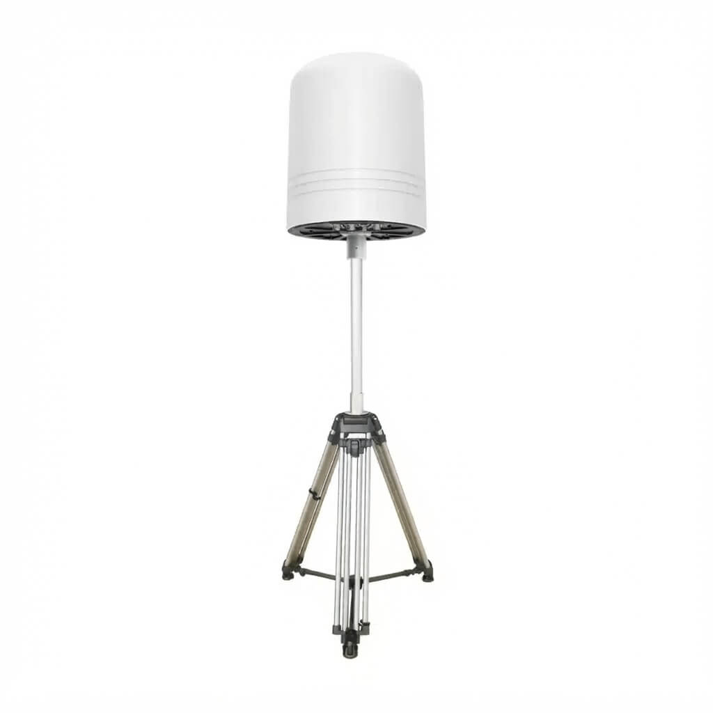
FTD1 mesh plus FD1 gate nodes localize drones and pilots around flare stacks and tank farms so security can dispatch to the operator, not only the aircraft.
Passive RF plus TDOA around approach paths gives airport security actionable pilot tracks without emitting near ILS.
Power plants and government campuses use networked localization with audit logs for compliance and lawful operator intercept.
For fast-moving motorcades and high-profile events, our portable briefcase hubs deliver rapid, on-the-go pilot tracking where installing fixed networks isn't an option.
HOW IT DEPLOYS
We aim to map the drone inside your airspace and its pilot hiding outside the fence simultaneously. This empowers your teams to intercept the operator instead of just watching the aircraft.
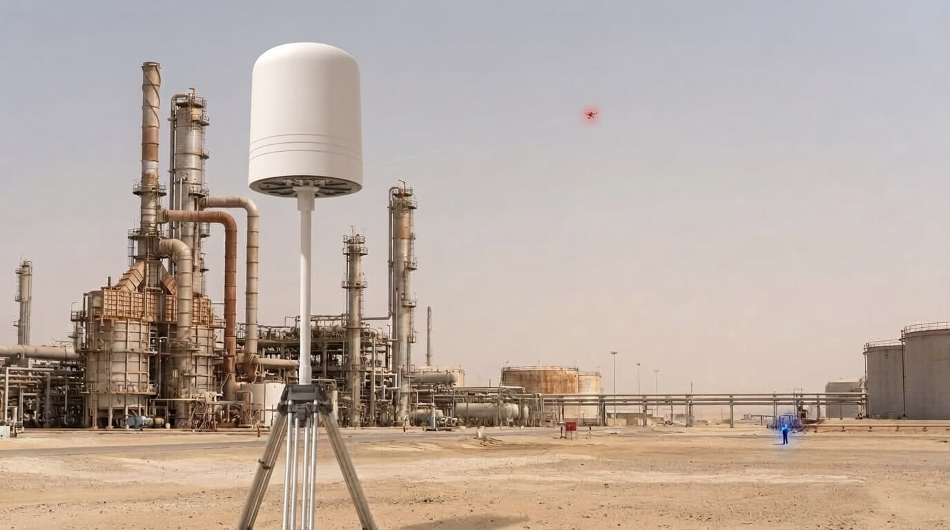
We strategically place FTD1 nodes around your perimeter and add FTA1 units near sensitive areas like flare stacks. This guarantees exceptional precision even at the very edges of coverage.
By arranging 3 or more FTD1 nodes in an overlapping mesh, we achieve pinpoint accuracy. We carefully size this network to protect your gate zones, tank farms, and pipeline routes.
Fixed sensors at your gates provide excellent pilot-tracking accuracy. As your patrol officers close in on the operator outside the fence, they use PL2 Pro handhelds for 2-meter precision.
See both the drone intruding your airspace and the operator hiding outside, all on one live map. Your team intercepts the operator while safely monitoring the drone's path for full awareness.
أسئلة متكررة

Ready to Locate the Operator, Not Just the Drone?
 English English English
  العربية English English English العربية

Real project breakdowns, GACA regulatory updates, and field-tested case studies from oil and gas, mining, and infrastructure operations. Used by engineering and procurement teams at Saudi Arabia’s largest operators.