
المزايا
Magnetic and electromagnetic sensors map geological structure and mineral targets from the air, so you learn what is below before committing to excavation or drilling.
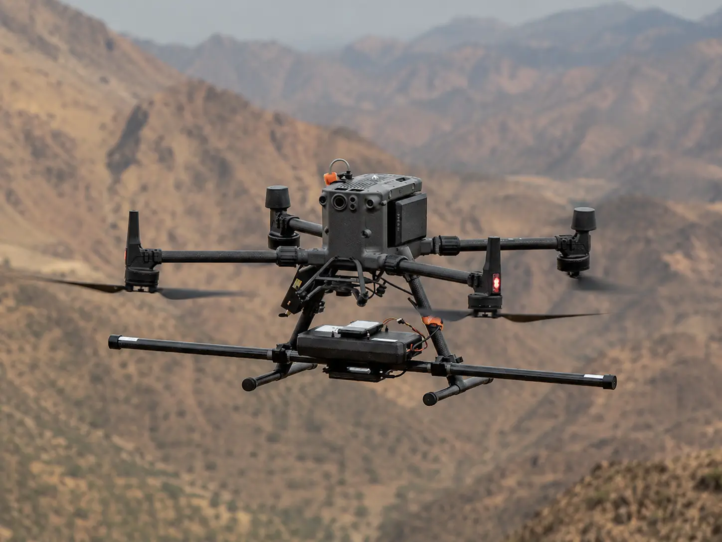
Fixed-wing and multirotor platforms survey wadis, escarpments, and open desert from the air, closing the data gaps that steep or remote ground normally leaves behind.
Terra Drone Arabia holds GACA certification and files GACAR Part 107 authorisation directly, so survey windows are scheduled around your programme, not around paperwork.
Magnetic, radar, and conductivity data are co-registered into a single georeferenced subsurface model, so your geologists interpret one picture instead of reconciling three.
Grids, radargrams, conductivity maps, and interpreted layers arrive in standard GIS formats referenced to KSA-GRF17, ready to import without reprojection or rework.
Processed outputs are delivered through Terra MapX on organisation-controlled storage inside Saudi Arabia, aligned to the PDPL, with project-level access isolation.
تحديات
Ground magnetometer and electromagnetic crews cover a limited area per day, so reconnaissance a fixed-wing drone flies in days can take weeks across a large block.
Steep escarpments, wadis, and remote desert are unsafe or unreachable on foot, leaving blank areas in exactly the terrain most likely to host structural targets.
Exploration budgets are consumed by boreholes placed on surface geology alone, when magnetic and conductivity data could have ranked the targets before the rig moved.
Corridor and geotechnical decisions taken without shallow subsurface characterization risk meeting unexpected geology, faults, or voids once construction is under way.
Hiring separate firms for magnetic, radar, and base mapping produces mismatched coordinate frames and interpretation layers that never quite line up across teams.
Aerial geophysical flights require GACAR Part 107 authorisation and operator coordination, which can stall a survey window that the drilling programme is already waiting on.
التقنيات و الأساليب
High-resolution aeromagnetic survey maps variations in the Earth's magnetic field to reveal geological structure, lithology contacts, and mineral targets across a survey block.
GPR profiles the shallow subsurface to resolve voids, karst features, layer boundaries, and depth to bedrock ahead of foundation and geotechnical decisions.
Electromagnetic survey measures ground conductivity to characterise soil and rock composition, moisture, salinity, and alteration zones relevant to exploration.
Line spacing, survey height, and terrain-following flight paths are designed to the target depth, because magnetic resolution is set by sensor-to-source distance.
In-house processing applies gridding, reduction-to-pole, residual separation, and analytic signal, then our geoscience team ranks anomalies as drill-ready targets.
Where flight is restricted or a schedule cannot wait on permits, the same magnetic, GPR, and conductivity data is acquired from the ground, for the same deliverables.
المخرجات
المنصات والتطبيقات
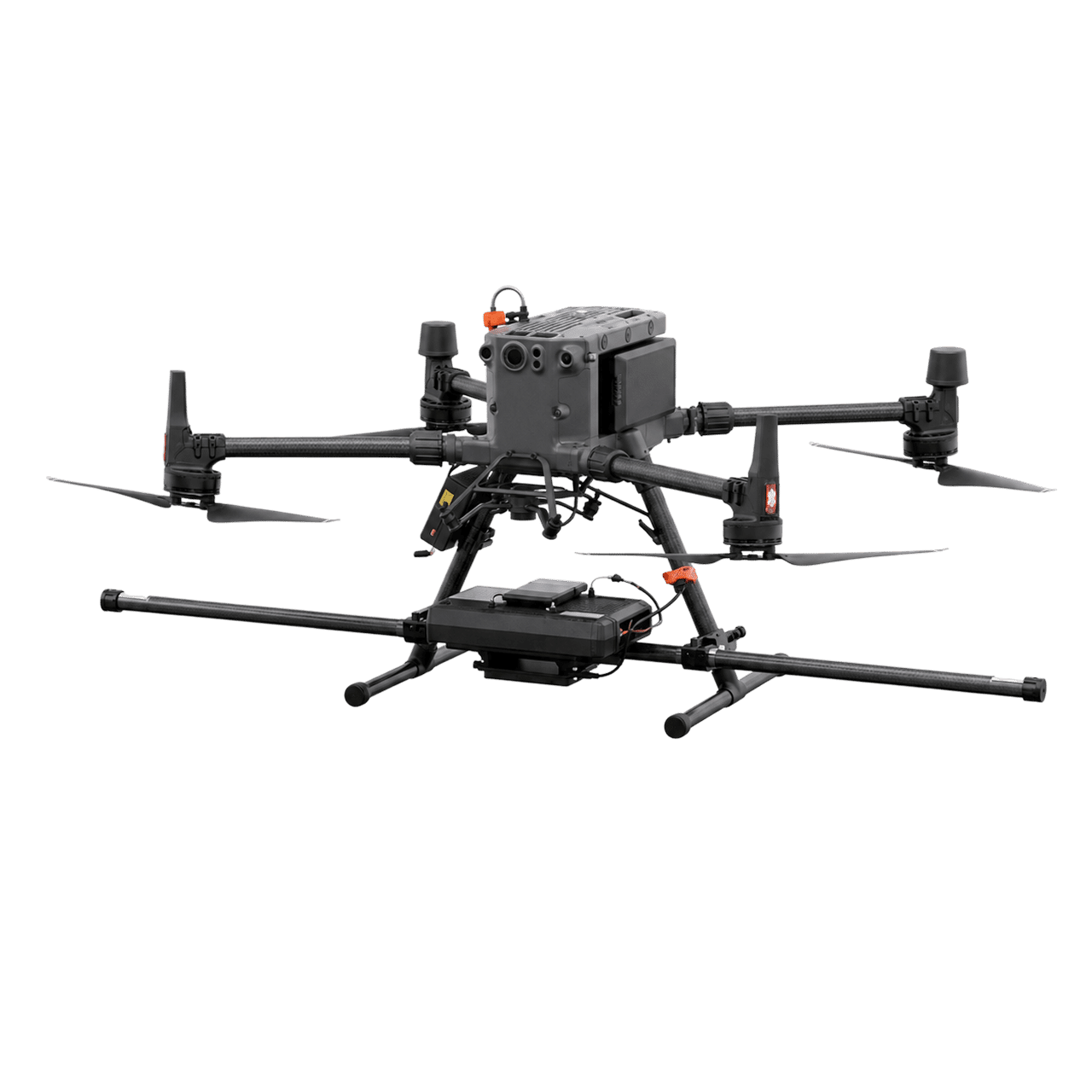
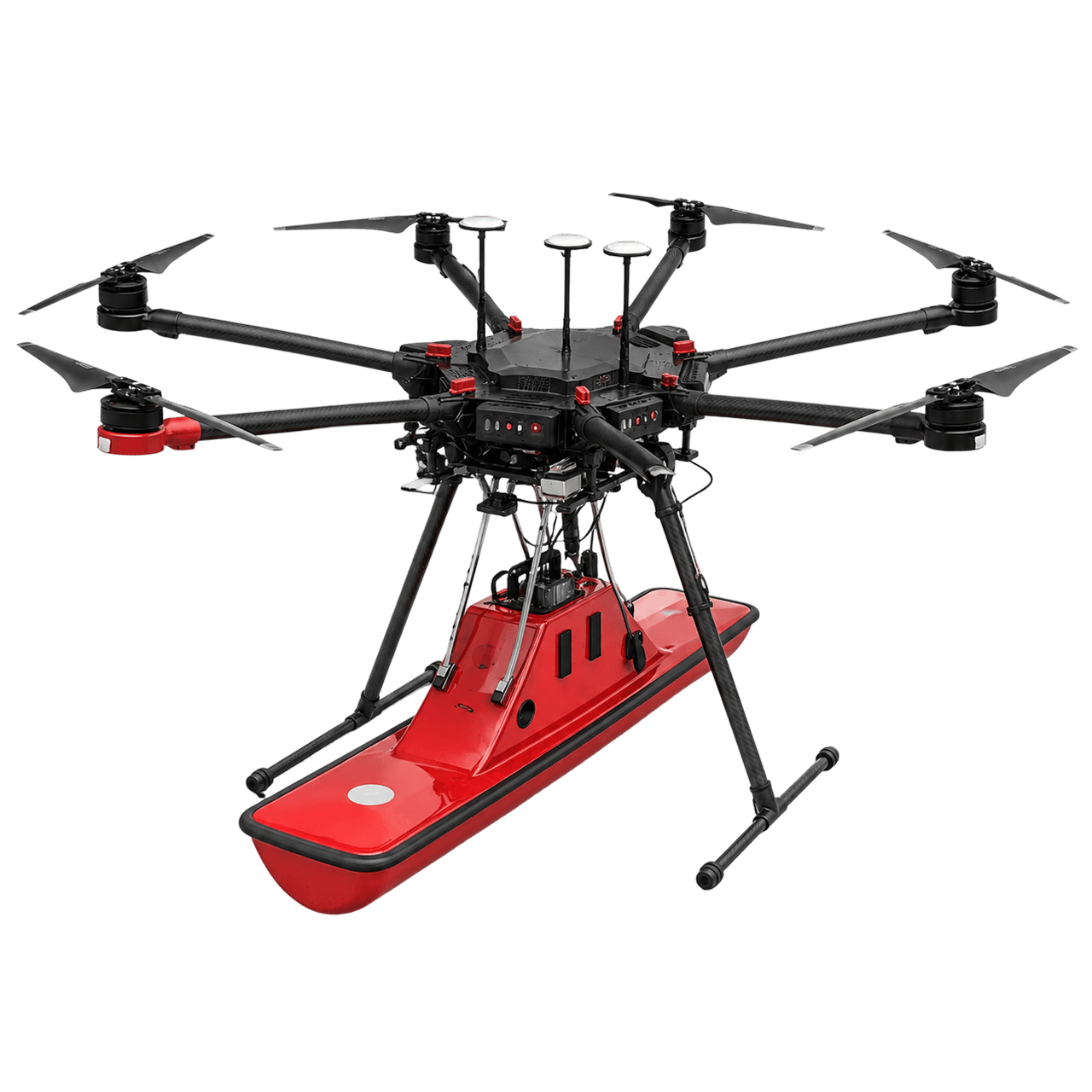
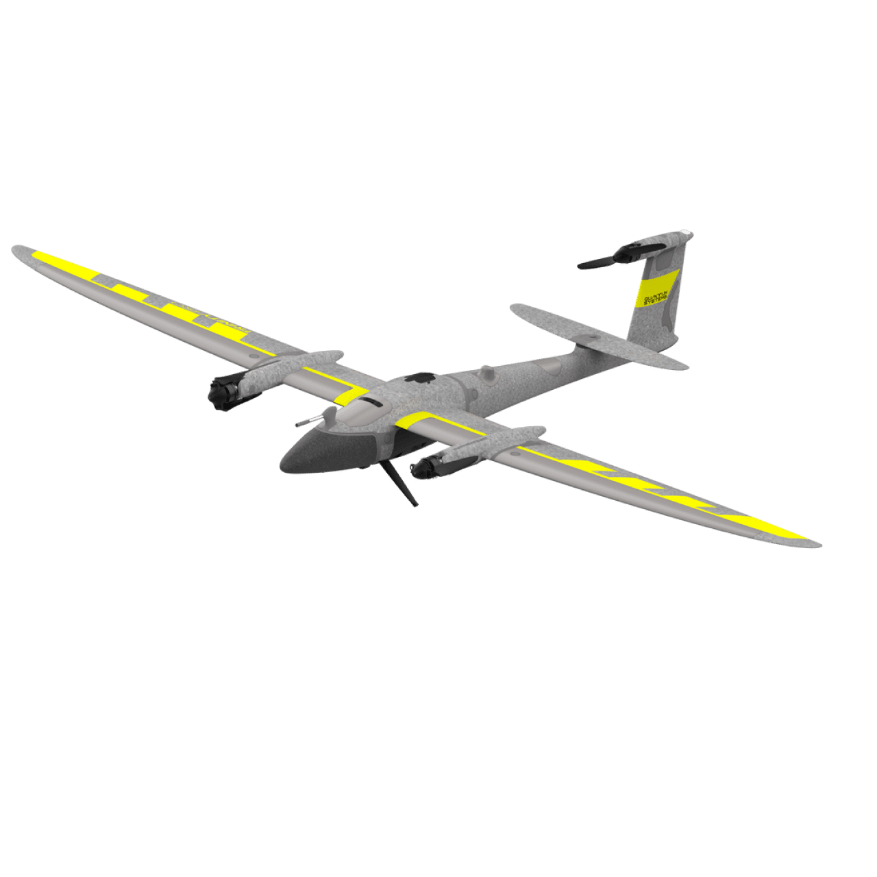
Aeromagnetic and conductivity reconnaissance for geological characterization, mineral target identification, and drill-target ranking across Saudi Arabia.
Pre-construction GPR and shallow subsurface survey resolves voids, karst, and depth to bedrock, de-risking excavation and foundation design.
Geological characterization, fault mapping, and corridor assessment ahead of pipeline, road, or transmission line construction across long alignments.
Shallow subsurface and ground-condition mapping around existing facilities to support geotechnical investigation and expansion planning.
Electromagnetic conductivity mapping of soil and moisture conditions, contamination extent, and salinity across sites and project footprints.
Structural and lithology mapping to define aggregate resource extent, overburden thickness, and bench planning inputs for quarry operators.
USE CASES & CAPABILITY
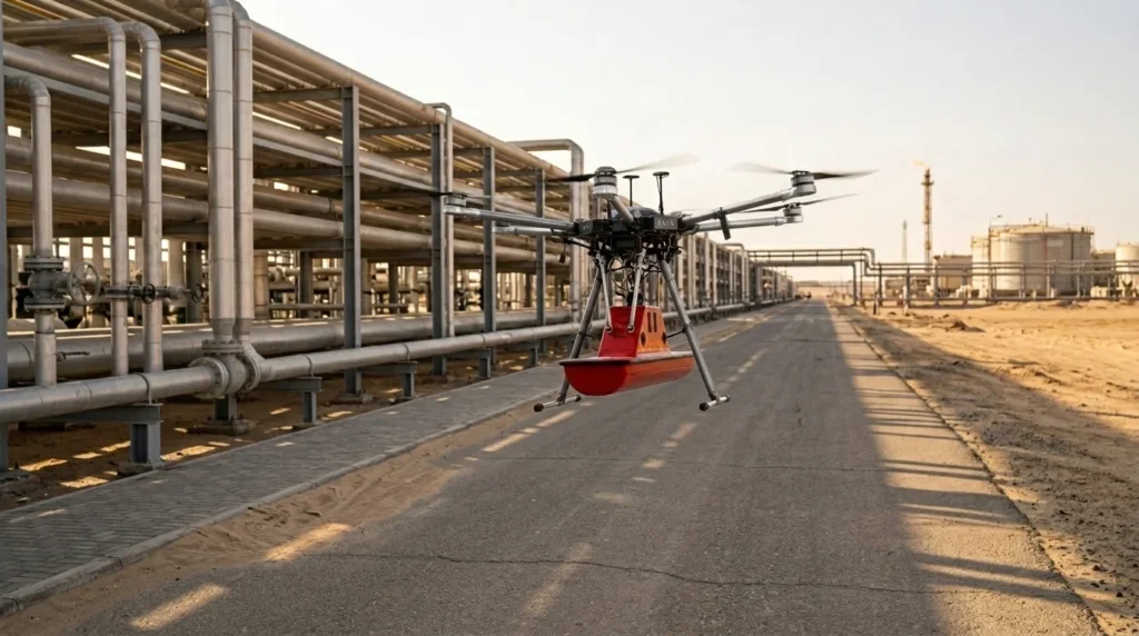
Airborne magnetometer, GPR, and electromagnetic conductivity methods map structure, lithology, voids, and ground conditions, so drill targets are ranked and foundation designs are set before a rig or excavator moves.
أسئلة متكررة

Scope Your Next Geophysical Survey with Confidence
 English English English
  العربية English English English العربية

Real project breakdowns, GACA regulatory updates, and field-tested case studies from oil and gas, mining, and infrastructure operations. Used by engineering and procurement teams at Saudi Arabia’s largest operators.