

Tracking mass Earthwork for Large-Scale Industrial Pads
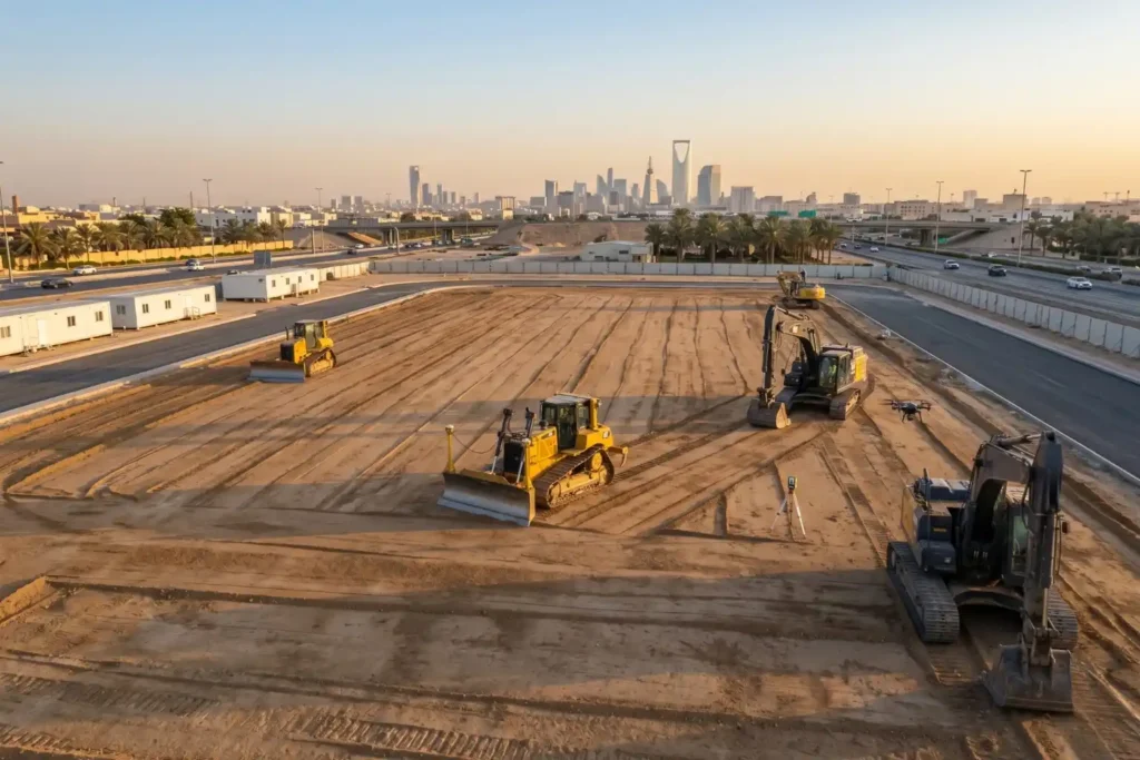
Preparing foundations for heavy industrial facilities involves extensive land preparation. For instance, leveling a single industrial pad measuring 400 by 400 meters requires grading a continuous surface area of 160,000 square meters. Managing earthwork at this scale introduces serious financial risks. Industrial research shows that 98% of megaprojects face cost overruns that exceed 30%, with […]
Pre-Construction Topographic Mapping for the Large-Scale Gas Expansion in Jafurah
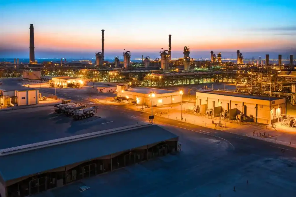
Expanding regional energy infrastructure across hyper-arid environments requires absolute geographic precision before a single asset is mobilized. As part of its long-term strategy to boost domestic energy production, Aramco is actively scaling up its country-wide gas network, recently finalizing a series of major expansion contracts totaling SAR 93.8 billion. A major pillar of this multi-tier […]
Climate-Resilient Infrastructure: Drone Thermal Mapping for Megaprojects
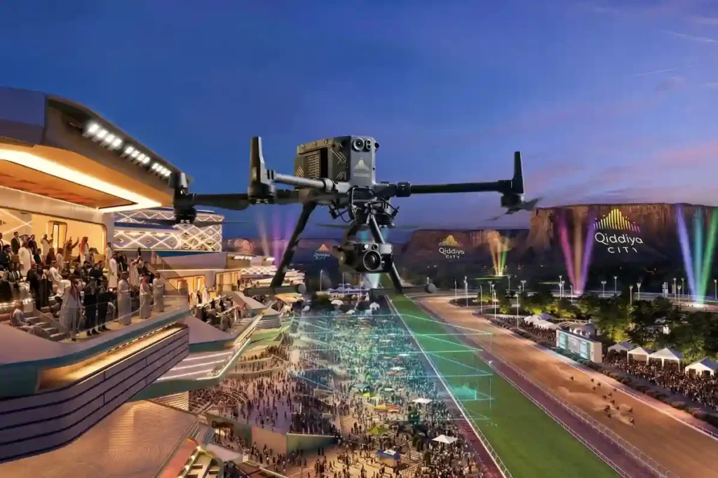
Establishing massive urban complexes in hyper-arid desert environments requires absolute spatial precision right from the start. The Qiddiya City master plan spans over 360 to 376 square kilometers, which will comprise multiple districts, including 43 separate sports facilities. Developing on this scale requires robust civil engineering frameworks to handle massive human populations. Once fully operational, […]
The Development of Laheq Island: Tracking Modular Construction Progress on Remote Island
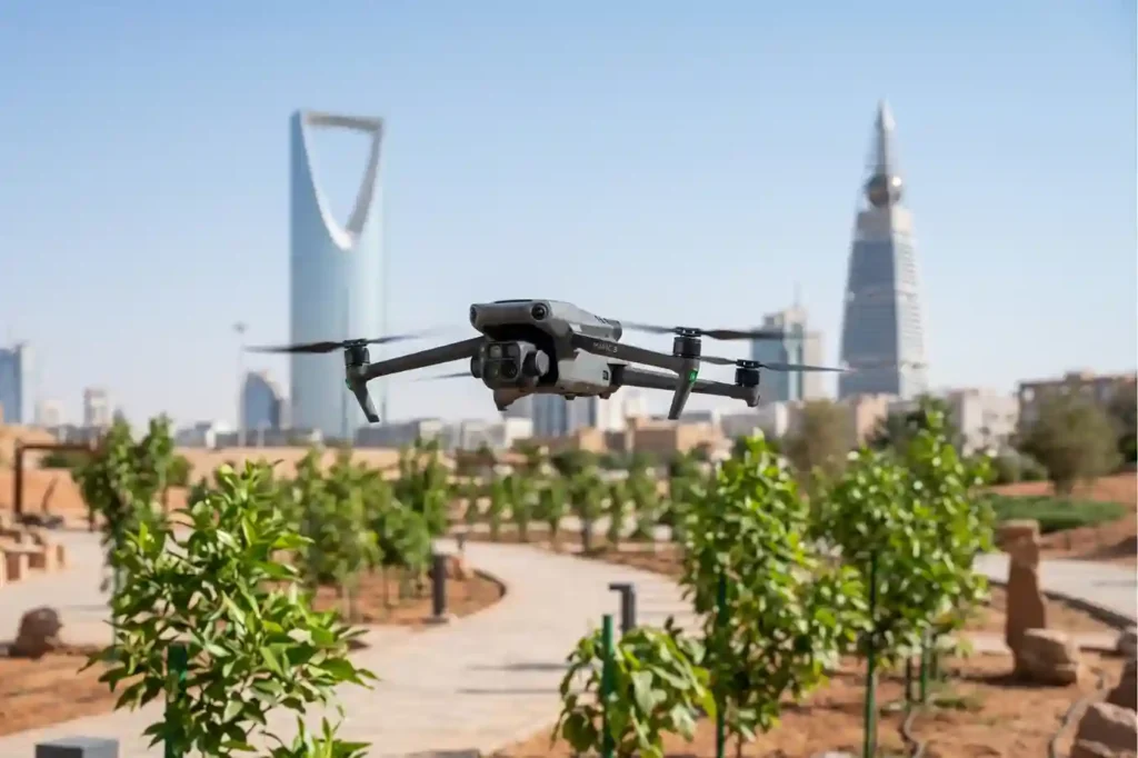
Riyadh’s extreme summer heat creates severe thermal stress, making massive urban forestry projects a critical challenge for local engineering teams. To combat this climate setback, the Green Riyadh initiative spans 545 square kilometers with a mandate to plant 7.5 million trees across the capital by 2030. According to environmental impact data, this intensive urban forestry […]
The Role of Drones in High-Rise Facade Inspections
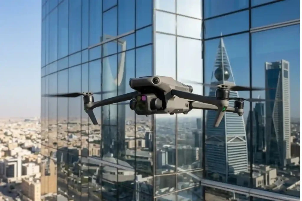
Traditional facade inspections are often stuck in the past. Facility managers usually rely on heavy scaffolding or rope-access teams to check for building damage. This manual approach is slow and carries high operational costs. It often delays critical repairs that are needed to protect the building’s structural health. While we previously explored how thermal imaging […]
How Thermal Imaging Drones Cut Electricity Expenses
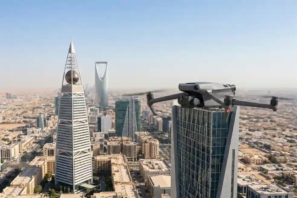
In Saudi Arabia’s extreme climate, keeping buildings cool is a constant struggle. Air conditioning is not just a comfort, it is a necessity that accounts for nearly 70% of total electricity consumption in the residential sector. When looking at the broader picture, the building sector is responsible for approximately 30% of the Kingdom’s total primary […]
Habitat Mapping for Bird Migration: Protecting Safe Stops
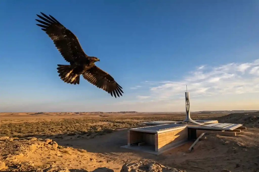
Every year, millions of birds cross continents to find better weather and food. As of May 2026, Saudi Arabia remains a vital safe haven on the African-Eurasian flyway, serving as a rest stop for these travelers. The Kingdom is home to over 500 bird species and hosts 14 out of the 15 species that are […]
GACA Drone Regulations: The 2026 Permit Guide
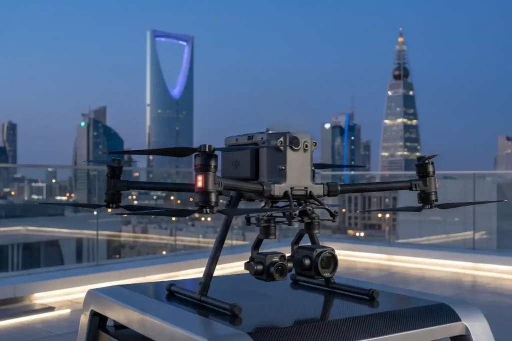
In 2026, Saudi Arabia’s drone industry is a core part of the Kingdom’s digital transformation and Vision 2030 goals. Operating a drone professionally requires more than just a controller; it requires a multi-step legal framework. Following GACA regulations ensures that your business objectives are recognized as part of a safe and integrated airspace. This guide […]
How an Anti Drone System Finds Hidden Threats

Modern industrial sites face a serious risk from low-altitude drones that avoid traditional radar. These unauthorized drones can reach sensitive areas like oil refineries or power plants without being noticed. To stop them, an anti drone system must find these targets as early as possible. This requires moving away from loud sensors and using silent […]
The Role of Drones in High-Rise Facade Inspections
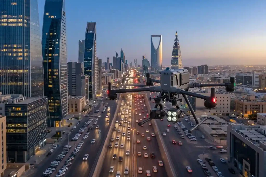
In rapidly growing cities like Riyadh and Jeddah, traffic congestion is more than a simple daily annoyance. It represents a significant drag on economic productivity and a hurdle to improving the general quality of life. The primary issue with current infrastructure is that most traffic lights operate on static, fixed timers. These systems are unable […]
 English