Geospatial Solutions & Survey Services in Saudi Arabia
GEOSA-licensed geospatial services spanning LiDAR survey, 3D laser scanning, GIS analytics, BIM modeling, and satellite remote sensing. Engineering-grade spatial data for mining, oil & gas, infrastructure, and urban planning across the Kingdom of Saudi Arabia.
One Riyadh-based team delivers full-spectrum geospatial solutions from field surveys to enterprise GIS across KSA. GEOSA-licensed, Esri Silver Partner, ISO-certified.
High-Precision Data Collection
We provide accurate geospatial data through advanced techniques like photogrammetry and satellite imagery. This ensures reliable information for planning, design, and decision-making.
Multi-Industry Applications
Our geospatial services benefit sectors such as construction, urban planning, mining, and environmental management. These tailored solutions help manage land and resources more efficiently.
Comprehensive Data Processing
We transform raw geospatial data into actionable insights using GIS solutions. These services support detailed project visualization, asset management, and infrastructure planning.
Local Expertise, Global Standards
With a strong presence in Saudi Arabia, we combine local knowledge with international best practices. This ensures clients receive high-quality services that meet both local regulations and global standards.
Service Capabilities
Geospatial services from field acquisition to enterprise GIS delivery, backed by GEOSA licensing, Esri partnership, and ISO certification.
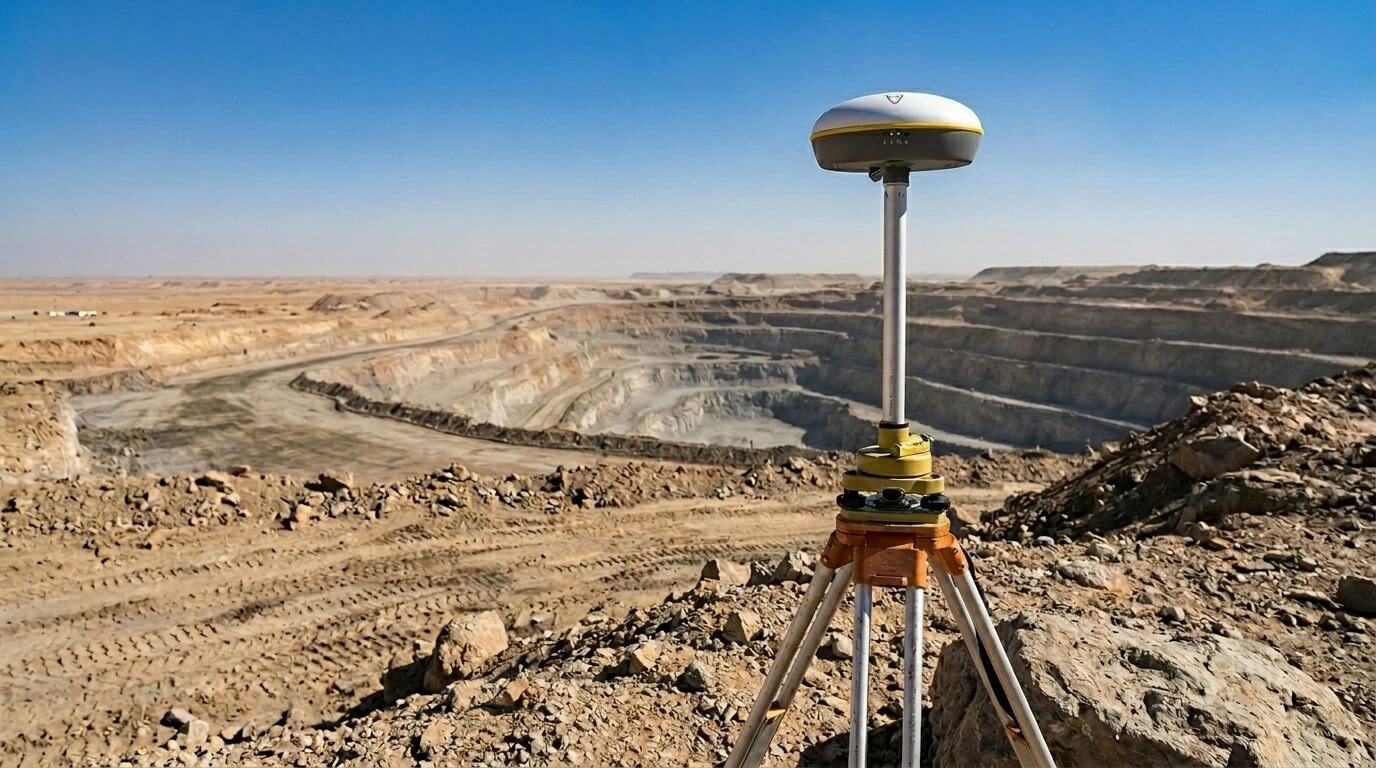
Land Survey & Mapping
Comprehensive topographic, GPS, underground utility, bathymetric, and hydrological surveys using total stations, GNSS RTK receivers, and ground-penetrating radar (GPR). Engineering-grade ground-truth data for mining site planning, pipeline routing, marine projects, and infrastructure development across Saudi Arabia.
Topographic Survey
High-resolution aerial imagery processed into accurate orthophoto maps and 2D planimetric data for land development, site planning, and volume calculations with GSD as fine as 2 cm.
Bathymetric & Hydrographic Surveys
Underwater topography and hydrological flow data for ports, dams, and flood studies, combining sonar and aerial imaging for marine projects.
Underground Utilities Survey (GPR & Sensors)
Detect, map, and visualize buried pipelines, cables, and structures without disruptive excavation using GPR and advanced sensor platforms.
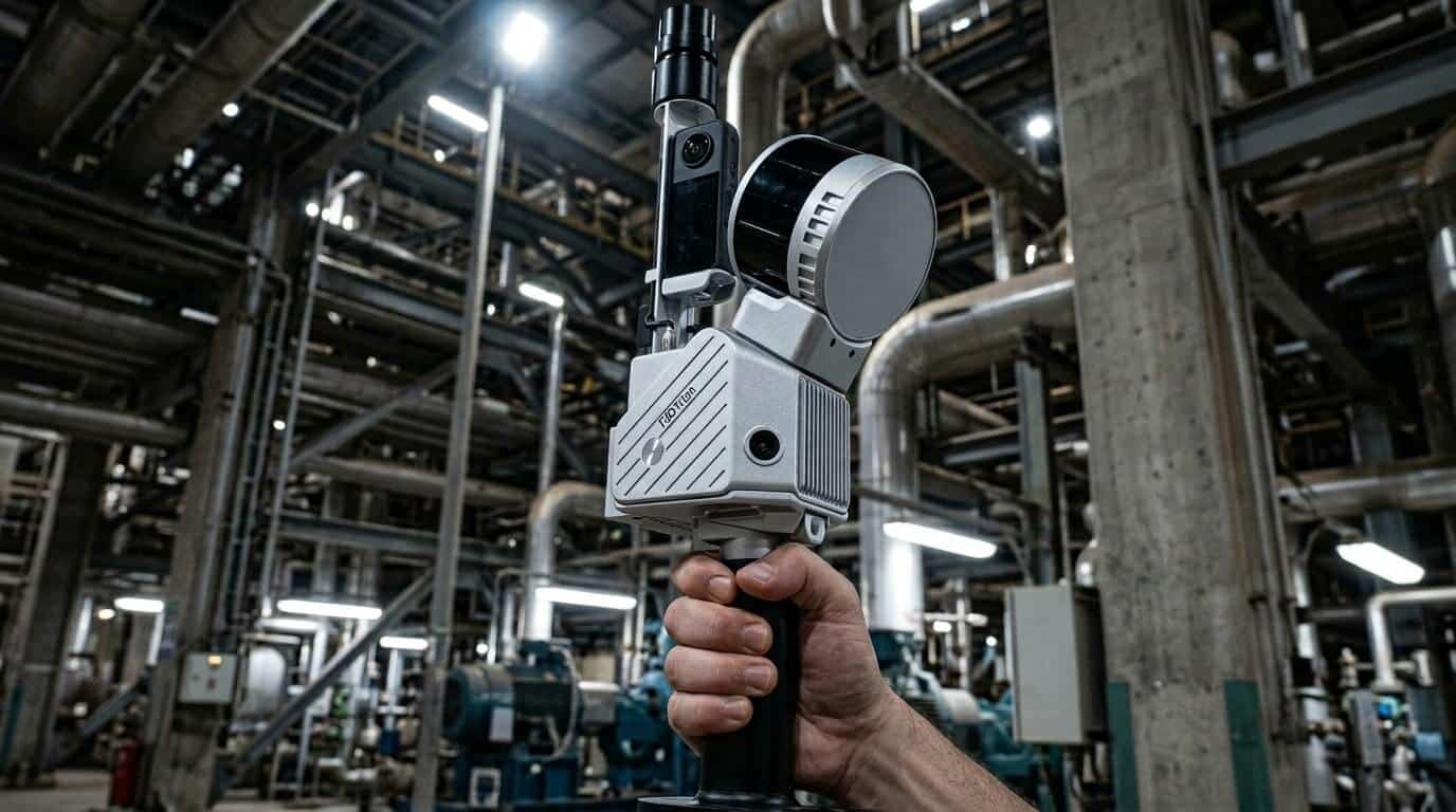
LiDAR, Laser Scanning & As-Built BIM
Airborne LiDAR, terrestrial laser scanning, and vehicle-mounted mobile mapping delivering centimeter-accurate 3D data and BIM-ready models (LOD 100-500) in Revit, Navisworks, and AutoCAD. The complete scan-to-deliverable workflow for asset management, corridor mapping, and retrofit planning across Saudi Arabia.
LiDAR & Aerial Mapping
Airborne LiDAR and drone photogrammetry capture dense point clouds for large survey areas, vegetation corridors, and sites where terrestrial access is difficult.
3D Modeling & Digital Twin
Drone photogrammetry generates detailed 3D models and navigable digital twins of industrial facilities, including 360° virtual tours and physical replica production. Terrestrial laser scanning extends the workflow to as-built BIM deliverables in Revit and AutoCAD.
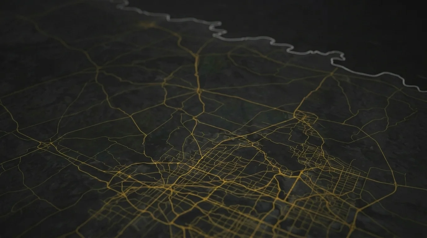
GIS Solutions & Spatial Analytics
Build enterprise GIS databases and perform advanced location analytics using the Esri ArcGIS platform. Route optimization, land use classification, asset visualization, and AI-powered predictive spatial analytics for mining, oil & gas, and infrastructure management across Saudi Arabia.
Enterprise GIS Database Development (Esri ArcGIS)
Track and manage assets, infrastructure, and resource allocation with enterprise GIS databases built natively in the ArcGIS ecosystem.
AI-Powered Predictive Spatial Analytics
Turn location intelligence into predictive maintenance, risk scoring, and planning insights using AI layered on enterprise GIS data.
Asset Visualization & Tracking
Interactive maps and dashboards give enterprise-wide visibility of pipelines, towers, facilities, and field assets in real time.
Route Optimization
Spatial analysis optimizes haul routes, site access, logistics corridors, and operational paths to cut time and cost.
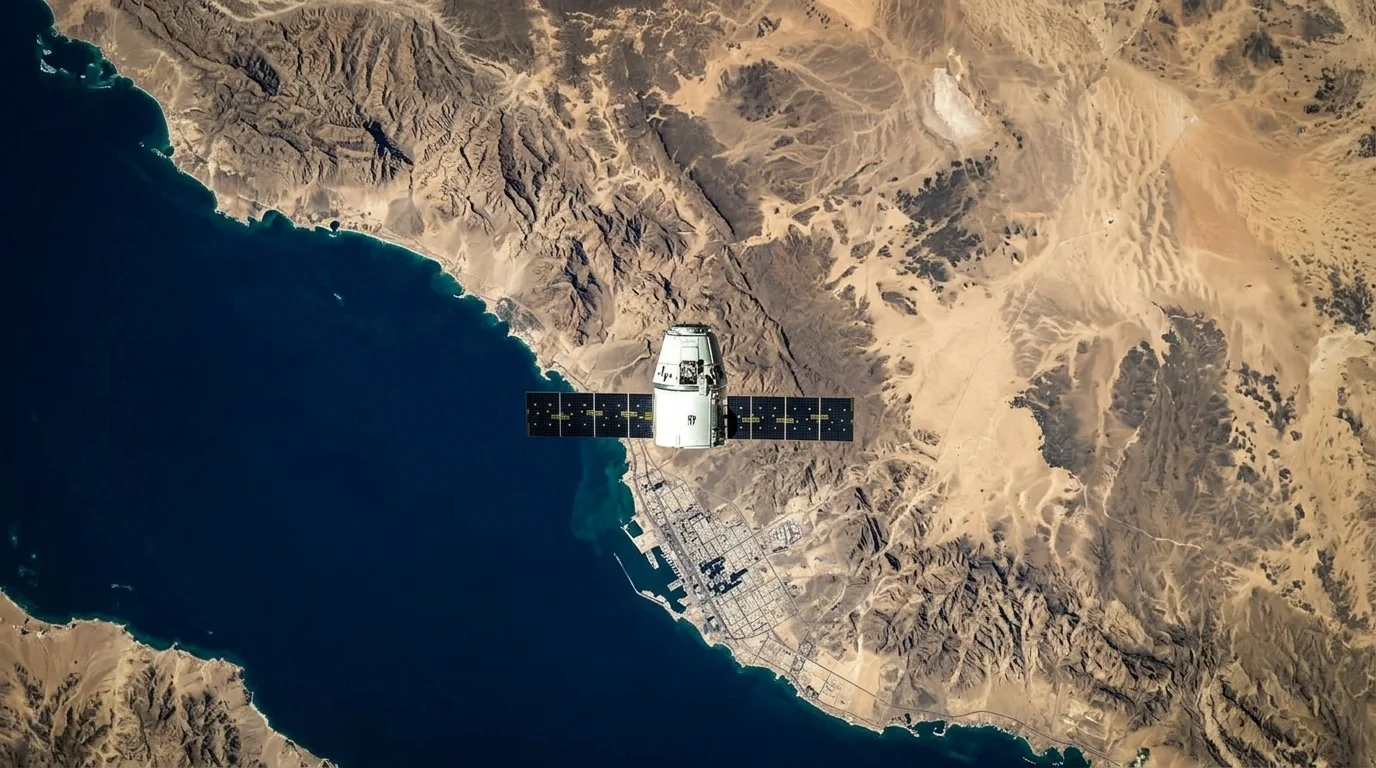
Remote Sensing & Satellite Imagery
Leverage satellite imagery from 20+ sources with multispectral and hyperspectral analysis for large-scale land cover classification, vegetation monitoring, change detection, and environmental baseline assessments. Supporting mining exploration, agricultural planning, and environmental impact assessments across the Kingdom of Saudi Arabia.
Satellite Imagery Provision & Processing
Access and process satellite imagery from 20+ sources for wide-area land monitoring, asset management, and environmental assessments.
Land Use & Land Cover (LULC) Classification
Multispectral and hyperspectral analysis classifies land cover to support urban growth, agriculture, mining exploration, and environmental protection.
Environmental Baseline Assessment
Establish environmental baselines before major projects using satellite and aerial data for regulatory compliance and impact studies.
Satellite Change Detection Analysis
Time-series satellite analysis detects vegetation, land-use, and infrastructure changes across large areas without costly repeat field surveys.
Authorized Esri
Silver Partner
Terra Drone Arabia is an authorized Esri Silver Partner and a GEOSA-licensed geospatial operator. That pairing lets us run every project inside the ArcGIS ecosystem your engineers and GIS teams already use, with no proprietary lock-in and no broken handovers between vendors. One accountable team owns the workflow from the first field measurement to the final decision-ready map.
Every deliverable is produced under ISO 9001:2015 quality management, ISO 45001:2018 occupational health and safety, and ISO 22301:2019 business continuity. For mining, oil & gas, and infrastructure operators in Saudi Arabia, that means survey data dependable enough to submit to regulators, auditors, and engineering reviews.
From field survey to enterprise GIS dashboard: one partner, one workflow.
Real project breakdowns, GACA regulatory updates, and field-tested case studies from oil and gas, mining, and infrastructure operations. Used by engineering and procurement teams at Saudi Arabia’s largest operators.
Joined by 2K+ industry professionals in Saudi Arabia.