TDSA Logo Long Positive

LiDAR Services in Saudi Arabia

Aerial, corridor, and mobile SLAM LiDAR surveys for terrain models, point clouds, and engineering mapping. We combine drone and ground survey options around your project scope, with outputs prepared for GIS and CAD workflows.
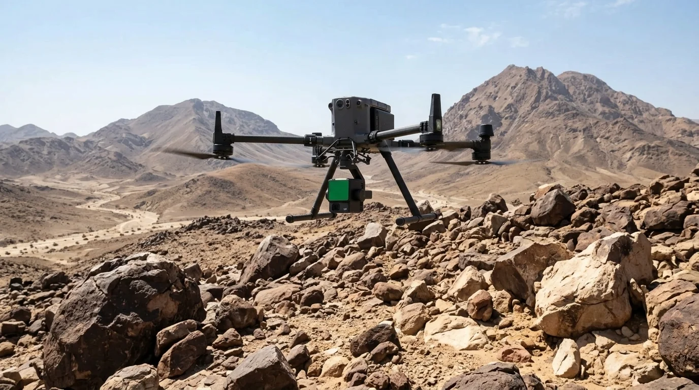
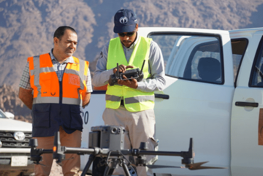
Drone LiDAR survey flight capturing dense 3D terrain data in Saudi Arabia

WHY CHOOSE OUR LIDAR WORKFLOW

High-Resolution Terrain Data for Saudi Project Sites

When vegetation, terrain, access, or project schedules make a single survey method unsuitable, we combine aerial LiDAR, GNSS control, and mobile scanning to build a fit-for-purpose terrain baseline.

Bare-Earth Terrain Models

LiDAR can record ground returns between vegetation where imagery may not provide a clear terrain surface. Classification and validation depend on canopy, terrain, flight design, and ground control.

Efficient Corridor Coverage

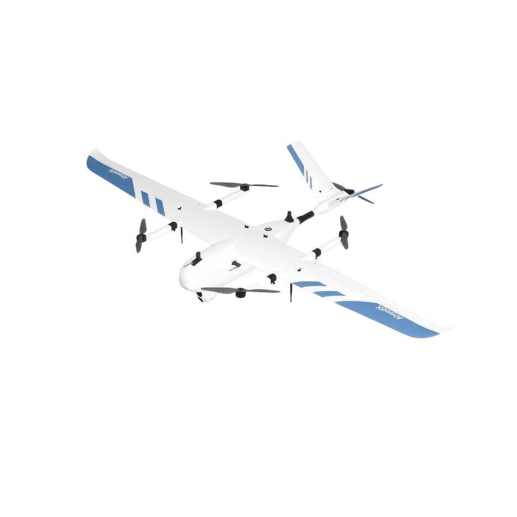
Fixed-wing VTOL and multirotor options can reduce field time on linear highway, rail, pipeline, and powerline surveys. The right platform depends on area, access, permits, and required outputs.

Permit-Aware Survey Planning

We plan the required flight permissions and can also scope GPS survey or mobile laser scanning when a non-drone option better fits the schedule or site conditions.

Multi-Platform Deployment Flexibility

Select aerial LiDAR, photogrammetry, GNSS survey, or mobile SLAM scanning. We can combine methods to match site access, scale, and deliverables.

GIS-Ready Data Delivery

Prepare point clouds, terrain models, contours, and GIS layers for review in the agreed project workflow, including Terra MapX where applicable.

Published Project Experience

Our documented work shows how LiDAR scales from detailed terrain mapping to long corridors and wide coastal areas, with structured data ready for engineering and planning decisions.

FIELD CHALLENGES SOLVED

Planning Around Terrain, Access, and Delivery Constraints

Vegetation and terrain, long corridors, access constraints, and handover requirements can make a single capture method insufficient. We design the survey around the site and the decision the data needs to support.

Vegetation Can Obscure Terrain

Photogrammetry may not resolve ground clearly beneath vegetation. LiDAR can add ground returns between branches, while classification and QA confirm whether the terrain model is suitable for design use.

Long Corridors Need Efficient Capture

Ground control and site access still matter on long corridors. Aerial LiDAR can provide a continuous baseline, with ground survey used where control, boundaries, or verification are required.

Steep or Restricted Access

Remote capture can reduce exposure to difficult terrain, but flight planning, site controls, and local permissions remain essential. LiDAR data supports assessment; it does not replace geotechnical or safety decisions.

Coordinate Reference & Control

Combine GNSS control, project benchmarks, and check points to document the reference system and validate delivered data. The required datum and control plan are confirmed for each project.

Density Must Match the Use Case

Point density is planned around area, platform, altitude, terrain, classification, and deliverables. We confirm the specification before capture and report achieved density in QA documentation.

One Coordinated Survey Scope

Where useful, we coordinate permits, aerial capture, GNSS control, mobile scanning, processing, and CAD/GIS outputs as one agreed scope.

TECHNIQUES & METHODS

Aerial LiDAR, Mobile SLAM, and Ground Control Methods

We select aerial LiDAR, photogrammetry, GNSS survey, or mobile SLAM according to site scale, access, permitting, and required outputs.

Corridor & Site Multirotor LiDAR

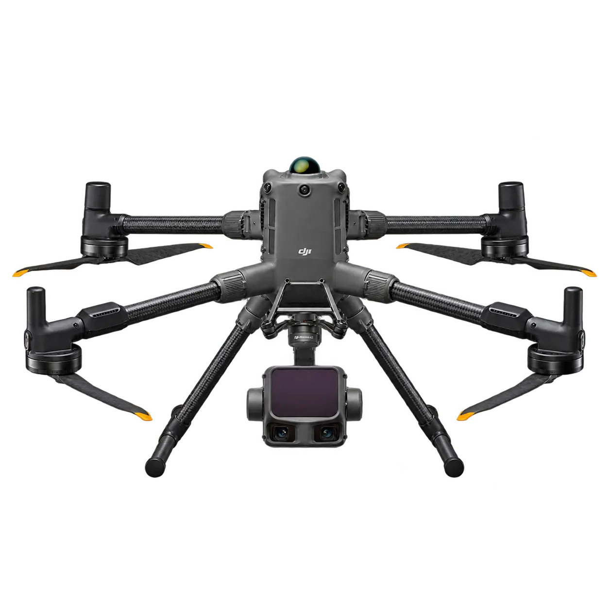
Deploying DJI Matrice 400 with Zenmuse L3 and M350 RTK with Zenmuse L2. Features multi-return laser pulses up to 240 kHz, integrated RGB cameras, and real-time RTK positioning. Engineered for highways, powerline rights-of-way, and plant expansions requiring ±5 cm horizontal and vertical precision with point densities exceeding 100 to 240+ pts/m².

Wide-Area VTOL Fixed Wing Surveying

For wider-area VTOL Fixed Wing missions, we can scope the appropriate platform. Payload, control method, coverage, target density, and outputs are confirmed from the project requirements and operating approvals.

Mobile & Handheld SLAM Laser Scanning

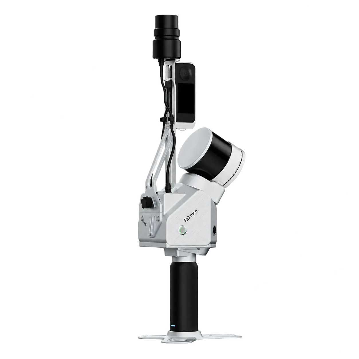
We offer FJD Trion S2 mobile SLAM scanning in handheld or backpack configurations for indoor facilities, plants, substations, corridors, and tunnels. It captures 3D geometry while the operator moves through the site; control and validation requirements are agreed per project.

Geodetic Ground Control & Cadastral Tie-In

Ground control can use dual-frequency GNSS, project benchmarks, and independent check points. We document the project reference system and QA results; cadastral or land-registry submissions require a separate scope and applicable authority requirements.

From Raw Survey Capture to GIS-Ready Delivery

Our workflow connects Terra Mapper, Terra MapX, Terra GeoAIX where applicable, and established GIS/CAD tools to process and deliver project data. The exact toolchain depends on sensor, format, and client requirements.

Capture Ingestion & PPK

Process raw laser trajectories, IMU observations, and GNSS RINEX data in Terra Mapper or the agreed processing workflow. PPK/RTK and control checks are applied when required by the mission and accuracy specification.

Assisted Feature Extraction

Terra GeoAIX can assist feature extraction in supported road-corridor, solar-farm, and construction-earthworks workflows. Outputs are reviewed and delivered according to the agreed classification specification.

GIS & CAD Geodatabase

Use ArcGIS Pro, Civil 3D, and other agreed tools to check breaklines, contours, coordinate reference, and deliverable structure before handover.

Web & 3D Review

Publish approved layers and point clouds through Terra MapX or another agreed delivery channel. MapX supports 2D, 3D, and point-cloud views; access, storage, and security requirements are agreed per project.

ENGINEERING DELIVERABLES

Deliverables Configured for Civil 3D, MicroStation, and ArcGIS

Deliverables are formatted and georeferenced according to the agreed project specification, with coordinate reference, QA, and integration requirements documented before handover.

Point Clouds (.LAS / .LAZ; classification as specified)

Bare-Earth DTM (GeoTIFF; resolution per scope)

Digital Surface Models (DSM GeoTIFF)

Topographic Contours (.DWG / .DXF)

Orthophoto Maps (ECW / TIF; when included)

Vector GIS Layers (.SHP / .GeoJSON)

Control & Check Point Record (when required)

Survey QA & Accuracy Report

PRACTICAL LIDAR APPLICATIONS

How Survey Data Supports Work on the Ground

These are common delivery patterns for LiDAR, photogrammetry, GNSS, and mobile scanning. Published examples appear below; each project still depends on scope, site conditions, and approvals.

Corridor & Terrain Baseline Mapping

Create georeferenced point clouds, elevation profiles, and terrain models for road, powerline, and pipeline route studies. Right-of-way and design support can be derived from agreed survey outputs; asset inspection is a separate scope.

Bare-Earth & Vegetation Mapping

Classify LiDAR returns to separate ground, vegetation, and structural features when required. Bare-earth models and vegetation context support site planning and environmental baselines, subject to canopy, terrain, density, and QA requirements.

Stockpile, Cut-and-Fill & Quarry Surveys

Compare point clouds and terrain models for stockpile volumes, cut-and-fill checks, haul-road context, and repeat-survey change analysis. Survey outputs support planning; slope-stability decisions remain with the qualified geotechnical team.

Solar Site & Environmental Baselines

Use terrain, point-cloud, and imagery outputs for solar site screening, terrain context, and environmental baseline mapping. Irradiance modelling, flood-risk analysis, or panel inventory are additional analytical scopes to confirm before the project.

PUBLISHED CASE STUDIES

Published LiDAR Case Studies in Saudi Arabia

Read published examples with documented scope, equipment, location, and project outputs. Figures below describe individual case studies, not a universal project promise.

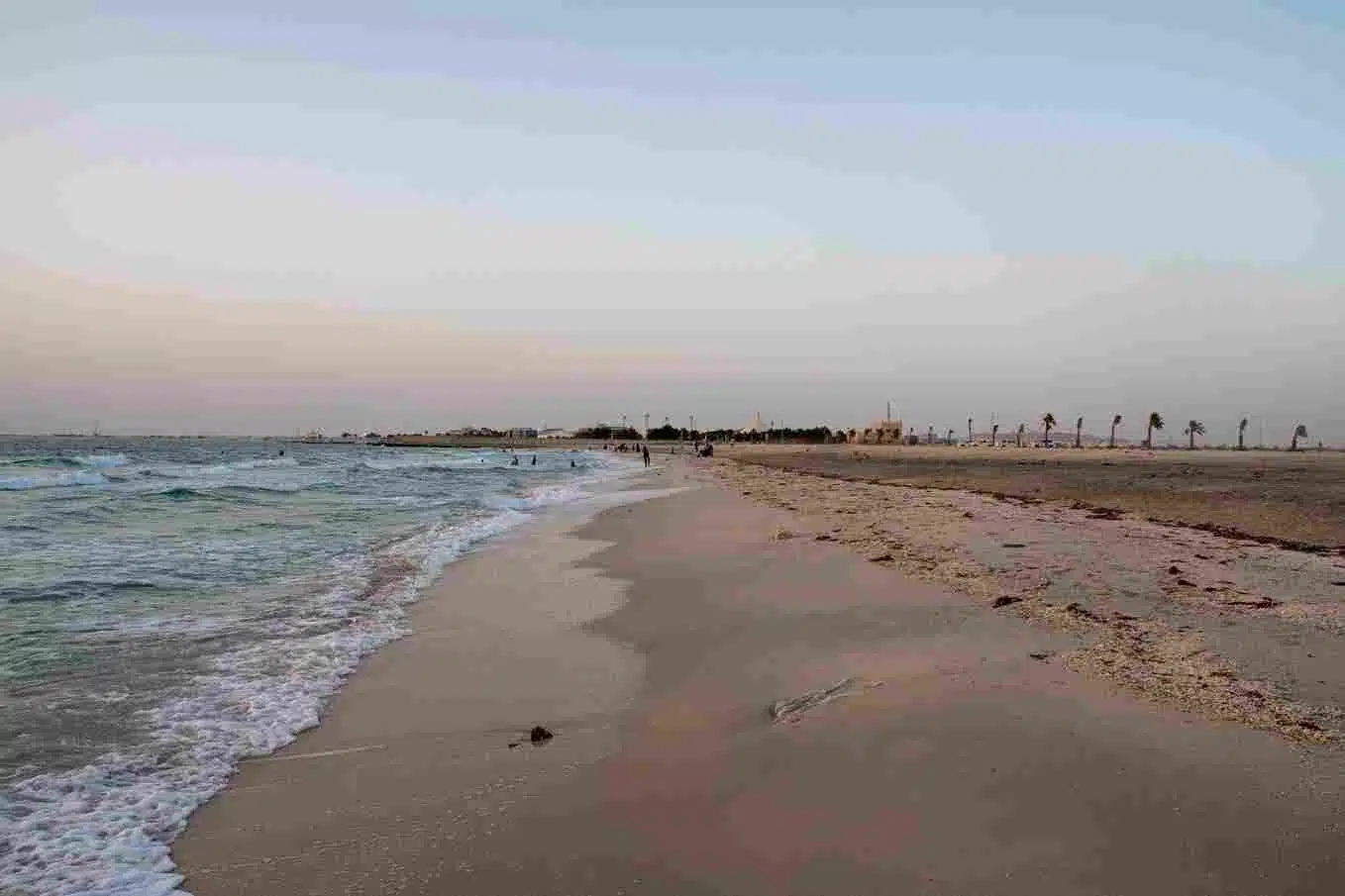
A 414-Sq-Km Coastal Drone LiDAR and Photogrammetry Survey

I. Executive Summary & Project Objective This technical case study details the execution of a large-scale aerial mapping and environmental monitoring initiative across a highly sensitive intertidal ecosystem. The target
LIDAR SERVICES FAQ

Frequently Asked Questions

LiDAR measures distance with active laser pulses and can capture ground returns between gaps in vegetation. Results depend on canopy, terrain, sensor, flight design, classification, and ground control; photogrammetry remains useful for imagery and complementary mapping.
Accuracy depends on the sensor, flight design, control, terrain, and QA requirements. For reference, our published NEOM Project 029 case study reports absolute point accuracy below 10 cm after PPK. We confirm the target accuracy and check-point method in the scope before capture.
Commercial drone work in Saudi Arabia is subject to applicable GACA requirements and site or project permissions. We review the permitting path during scoping. If a non-drone option better fits the schedule, we can also scope GNSS survey or mobile laser scanning.
Timing depends on area, platform, control, access, permits, weather, and deliverables. A published Makkah case study reports one day of aerial acquisition, two days of ground marking, and four days of processing, nine days in total. That example is not a standard turnaround promise.
Mobile SLAM, such as FJD Trion S2, is suited to indoor facilities, process plants, substations, corridors, tunnels, and areas where drone flights are restricted. It captures 3D geometry as the operator moves through the site; control and validation requirements are agreed per project.
LiDAR does not rely on ambient light, but night operations depend on the aircraft, site safety controls, operational constraints, and required permissions. We assess night-flight feasibility for each project.
We agree storage, access, retention, and delivery channels for each project. Terra MapX can be used where applicable; PDPL, client cybersecurity, hosting, and data-residency requirements should be confirmed in the engagement.
We can scope GNSS or total-station control and boundary survey inputs where required. Cadastral submissions and land-registry acceptance depend on the applicable authority requirements, so they should be defined separately from the LiDAR scope.
Share your project boundary (KML or coordinates), required point density, key deliverables, and target timeline through our contact portal or WhatsApp. We will review the requirements and return a proposed scope and quotation.

FROM FIELD SURVEY TO ENTERPRISE LOCATION INTELLIGENCE

Ready to Build Your Enterprise GIS Database?

Aerial drone view of Riyadh skyline in Saudi Arabia

Get the Drone & Geospatial Brief, Saudi Arabia

Real project breakdowns, GACA regulatory updates, and field-tested case studies from oil and gas, mining, and infrastructure operations. Used by engineering and procurement teams at Saudi Arabia’s largest operators. 

Joined by 2K+ industry professionals in Saudi Arabia.