

Drone Thermal Inspection for Dewatering and Leak Detection on ROSHN’s MARAFY Canal
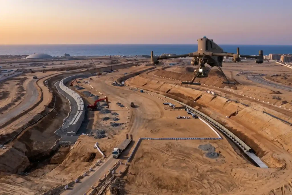
ROSHN Group’s landmark MARAFY development encompasses over 9.4 million square meters of connected waterside districts in northern Jeddah. The central feature of this master plan is Saudi Arabia’s first navigable urban water channel, extending 11 kilometers in length and over 100 meters in width to connect Obhur Creek inland. Civil engineering teams have made rapid […]
NEOM’s Linear City: Geographic and Structural Obstacles
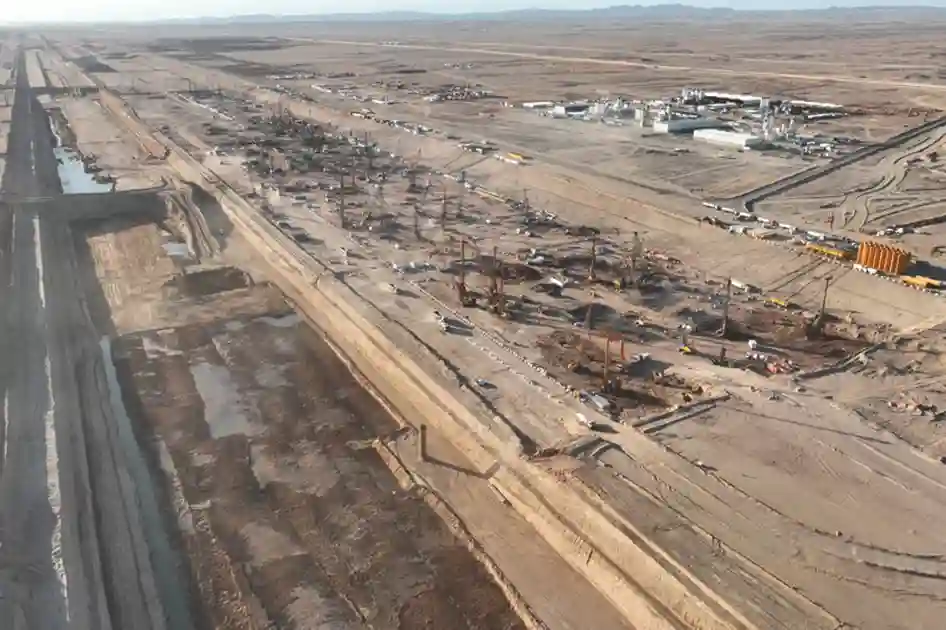
Introduction and Regional Context Constructing a continuous 170-kilometer urban corridor flanked by twin 500-meter-tall mirrored structures represents one of the most ambitious civil engineering endeavors in modern history. Designed to stretch across coastal plains, desert valleys, and rugged granite mountains, the project requires ground engineering solutions that far exceed conventional urban development models. As explored […]
Reasons Why NEOM’s The Line Is Halted Until After 2030.
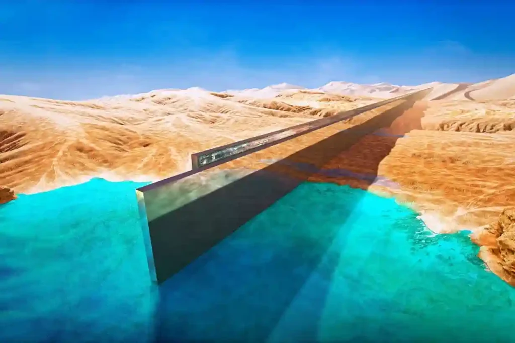
Official Construction Freeze and Scale-Back Saudi Arabia’s PIF has officially suspended active construction on The Line until at least after 2030. Following an extensive strategic review led by NEOM’s Chief Executive Aiman al-Mudaifer, the kingdom decided to pause new work on its flagship linear city. Out of the originally planned 170-kilometer mirrored skyscraper corridor, contractors […]
Afforestation Monitoring: Using Multispectral Drone for Tree Canopy Health
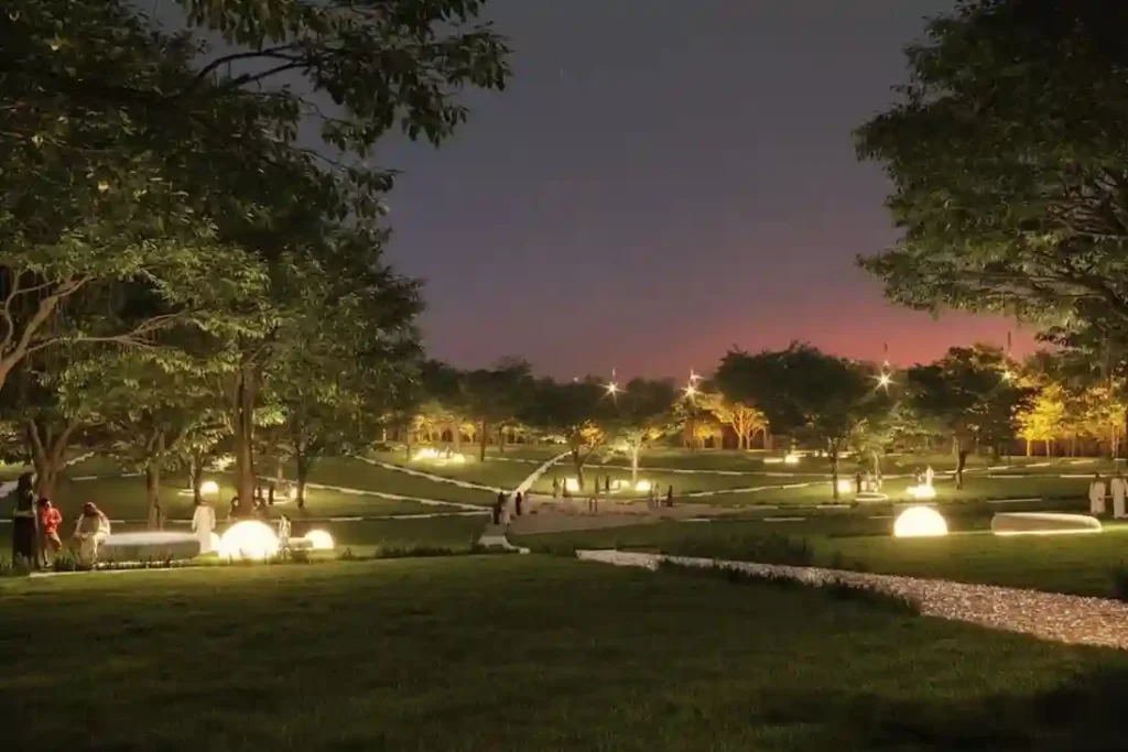
Urban greening in desert environments requires active monitoring to ensure long-term plant survival. Under Saudi Vision 2030, the Green Riyadh project represents a massive effort to build sustainable urban spaces. A central part of this initiative is the construction of three new city parks in the Al Munsiyah, Al Rimmal, and Al Qadisiyah neighborhoods, covering […]
Precision Geospatial Inspection: Safeguarding Green Riyadh’s Water Infrastructure with Aerial Leak Detection
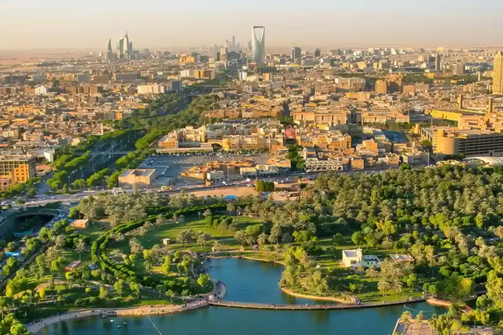
Urban modernization inside arid climates requires robust resource management to sustain newly built environmental projects. Under the economic development mandates of Saudi Vision 2030, the Green Riyadh initiative represents a major municipal effort to transform the desert capital into an ecologically balanced urban space. A primary focus of this initiative is the construction of three […]
Minimizing Maintenance Downtime: Drone Inspection for Energy Hubs
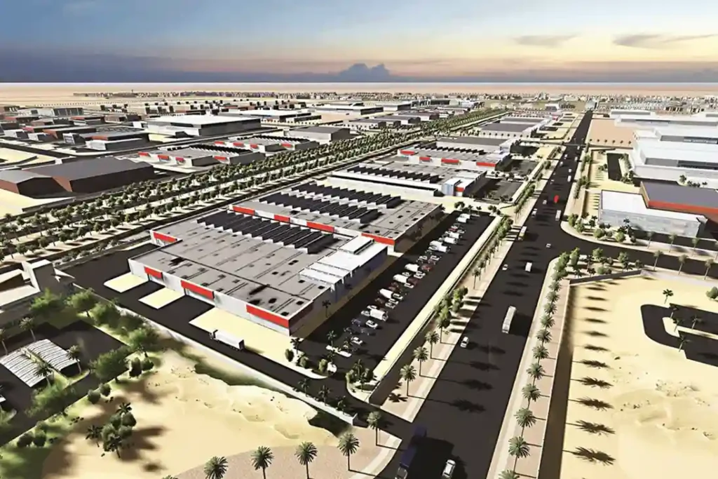
The Problem of Maintenance Shutdown Modern industrial energy hubs, like the King Salman Energy Park (SPARK) which spans a 50 square kilometers master-planned zone, face major challenges checking massive infrastructure networks without halting workflows. Traditional asset tracking relies on manual walkthroughs and emergency fixes, which introduce severe financial losses and direct operational bottlenecks. Within the […]
Drone Thermography Survey for Solar Farm O&M at SPARK
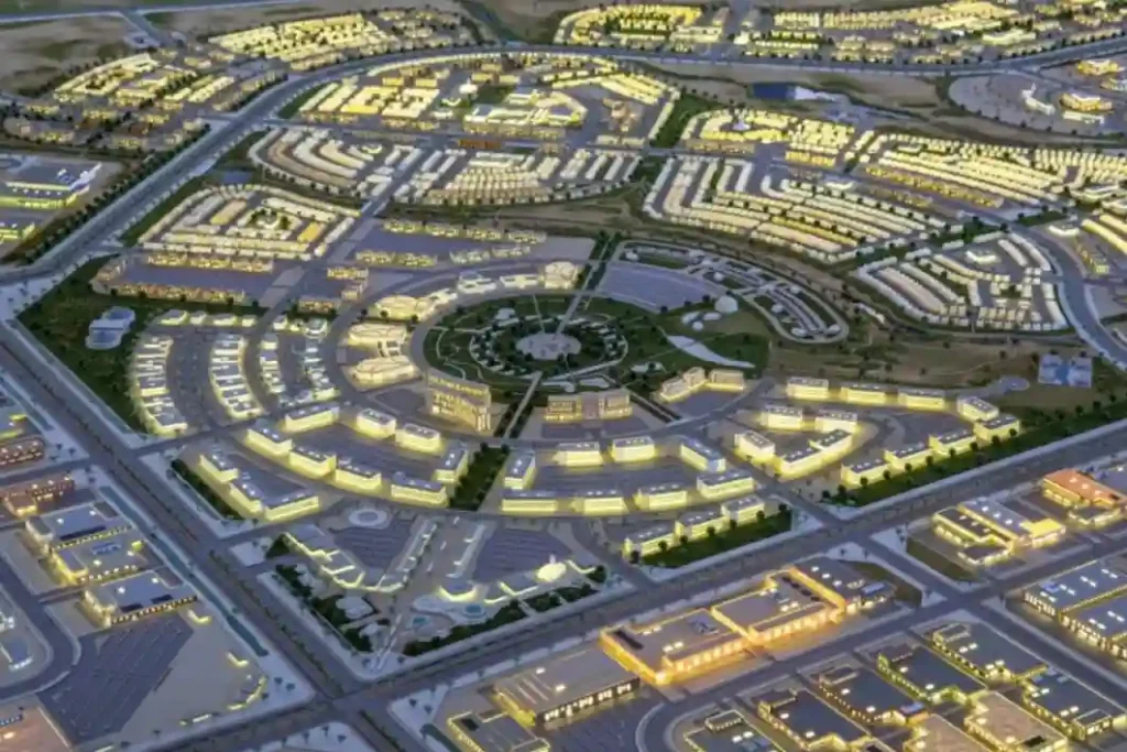
As Saudi Arabia accelerates its shift toward alternative energy under Saudi Vision 2030, the development of modern infrastructure requires automated maintenance systems. The King Salman Energy Park (SPARK) stands as a major part of this transition, operating as a sustainable industrial hub built to advance the digitalization and energy transition goals of the Kingdom. This […]
NEOM’s Linear City: Geographic and Structural Obstacles
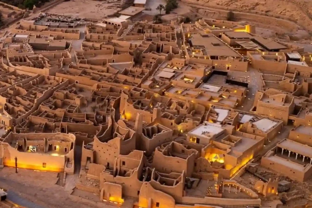
The SAR 2.7 Billion Diriyah Megaproject The Diriyah Company’s recent award of a SAR 2.7 billion contract to the joint venture of Hassan Allam Construction Saudi and UCC Saudi marks the official construction launch of the Waldorf Astoria superblock. This high-profile mixed-use development features a 200-key luxury hotel, 47 branded residences, commercial facilities, and modern […]
The Development of Laheq Island: Tracking Modular Construction Progress on Remote Island
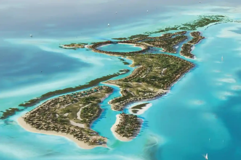
The international construction sector loses an estimated over SAR 6 trillion annually due to low efficiency and structural execution delays, with global sector productivity expanding at a low rate of just 0.4% per year. Remote, high-profile megaprojects have zero tolerance for these timeline extensions. A prime example is the 400-hectare luxury development on Laheq Island, […]
Underwater Biovidersity Inspection With QYSEA FIFISH V-EVO
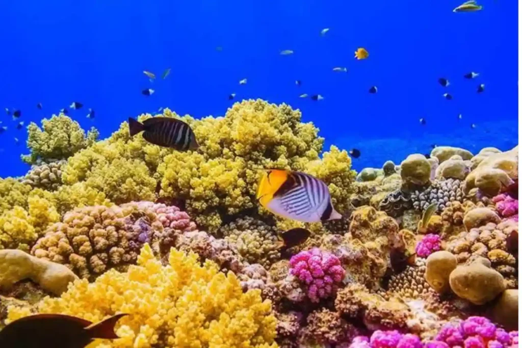
Seafloor Mapping Protecting a coastal ecosystem requires a complete understanding of its underwater terrain. Before any conservation plans or low-impact tourist activities can begin around Laheq Island, environmental teams must map the layout, underwater trenches, and shallow slopes of the seabed. This structural map helps scientists understand exactly where marine habitats are located and how […]
 English