TDSA Logo Long Positive

Drone Environmental Monitoring Services in Saudi Arabia

GACA-certified drone environmental monitoring in Saudi Arabia. Airborne methane leak detection, GHG emissions quantification, air quality assessment, and water sampling.
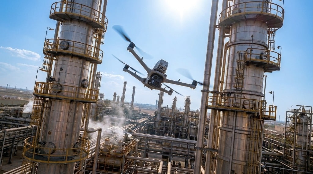
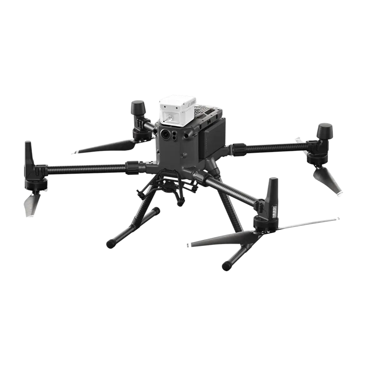
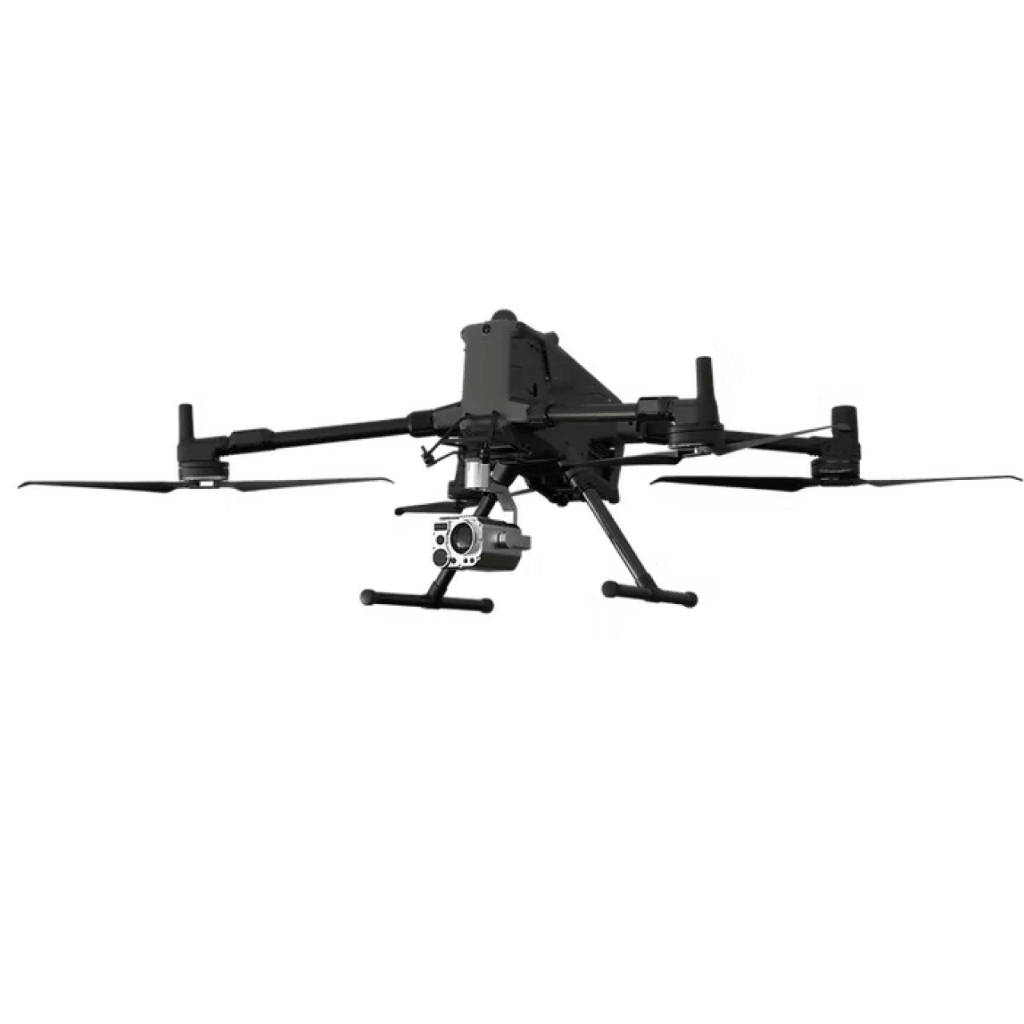
Drone detecting methane emissions for environmental monitoring and ESG compliance at petrochemical facility in Saudi Arabia

BENEFITS

Environmental Sensing Your Teams Can Trust

GACA-certified drone environmental monitoring for methane leak detection, emissions monitoring, air quality surveys, and water sampling across Saudi Arabia.

Rapid Gas & Methane Leak Detection

Airborne TDLAS laser sensors detect and locate methane and gas leaks along pipelines and tank farms in real time, preventing environmental risks and revenue loss.

Zero-Risk Aerial Data Sensing

Drones collect gas and environmental data from hazardous, elevated, or toxic industrial zones without exposing ground crews or inspectors to dangerous gas concentrations.

ESG & Regulatory Compliance Support

Quantified emissions measurement and timestamped spatial reports support ESG disclosures, NCEC environmental compliance, and international sustainability audits.

Multi-Sensor Gas & Air Quality Sensing

Simultaneous detection of CO2, CH4, NOx, SO2, VOCs, and particulate matter (PM2.5/PM10) delivers comprehensive environmental baselines across industrial sites.

GACA-Certified Aerial Operations

All environmental drone flights operate under GACAR Part 107 permits and ISO-certified HSSE protocols, ensuring safe deployment over industrial and energy assets.

In-House Analytics & Terra Cloud Delivery

Raw gas sensor data is processed into leak concentration heatmaps and emissions inventories, accessible instantly via Terra Cloud for engineering and HSE teams.

CHALLENGES

Why Ground-Only Environmental Monitoring Fails

Ground-only monitoring leaves gaps across long pipelines, elevated assets, and hazardous zones, making methane leaks, emissions, and air-quality changes harder to detect.

Fugitive Methane Leaks Go Unnoticed

Small fugitive gas leaks along vast pipeline corridors are invisible to visual inspection, leading to unnoticed emissions, safety hazards, and product loss.

Dangerous Ground Access in Toxic Zones

Manual gas sampling inside refinery tank farms or flare stacks puts HSE personnel at severe risk from toxic gas exposure, heat, and working at heights.

Manual Air & Water Sampling Is Slow

Traditional water sampling from remote wadis or coastal zones requires boats and manual wading, slowing down environmental baseline studies for new developments.

Lack of Spatial Emission Heatmaps

Single-point ground sensors fail to capture gas plume dispersion profiles across large facility footprints, leaving environmental managers without spatial context.

Complex Environmental Regulatory Audits

Industrial facilities face strict emissions audits from environmental authorities, requiring auditable, spatially referenced gas measurement data.

Disconnected HSE and Environmental Teams

Using separate vendors for gas detection, air quality, and imagery creates fragmented reports and delays urgent maintenance actions on leaking assets.

TECHNIQUES & METHODS

Airborne Environmental Sensing Workflows

Combine drone gas leak detection, methane sensing, air-quality surveys, and water sampling in repeatable missions built for industrial HSE teams.
3D methane plume map showing TDLAS gas leak detection across an industrial pipeline corridor and tank farm

Methane & Gas Leak Detection (TDLAS)

Airborne TDLAS laser sensors detect methane down to 5 ppm-m across pipeline corridors and tank farms, generating real-time gas concentration heatmaps for HSE response.

Multispectral vegetation index map showing crop fields, drainage channels, and environmental stress patterns

Multispectral Remote Sensing

Multispectral sensors capture vegetation indices (NDVI/NDRE), pollution indicators, and water stress profiles across ecosystems with high wind compensation algorithms.

3D textured terrain model showing vegetation cover, ridgelines, and biomass patterns across a mapped landscape

3D Biomass Modeling

Combined photogrammetry and airborne LiDAR generate precise vegetation volume, canopy density, and stockpiled biomass estimations for environmental accounting.

Area-Based Environmental Sampling Mission over Industrial Tanks

Area-Based Sampling Missions

Autonomous pre-defined grid flight patterns enable automated spatial pollutant concentration mapping, air quality profiling, and liquid sampling.

Side-by-side RGB and thermal imagery comparing vegetation conditions and heat signatures for environmental impact tracking

Environmental Impact Tracking

Multi-temporal comparative mapping evaluates baseline vs. post-event spatial conditions to track ecosystem recovery, coastal erosion, and ESG compliance.

DELIVERABLES

Environmental Data Formatted for Action

Turn environmental drone monitoring data into leak heatmaps, emissions inventories, air-quality datasets, and GIS reports your HSE and ESG teams can act on.

Methane Concentration Heatmaps (GeoTIFF, KMZ, PDF)

OGI Thermal Leak Videos & Reports (MP4, PDF)

GHG & Industrial Emissions Inventories (CSV, XLSX, PDF)

Air Quality Index (AQI) Datasets (CSV, SHP, PDF)

Water Sampling Logs & Chain of Custody (PDF, KMZ)

Environmental Orthomosaics & Terrain Baselines (GeoTIFF, ECW)

Geodatabase & GIS-Compatible Layers (.SHP / .KML / .GeoJSON)

Environmental Change Detection & Progress Reports (PDF, GIS)

ESG & Environmental Compliance Audits (NCEC-Aligned PDF)

Terra Cloud Web Portal Access (Cloud Dashboard)

PLATFORMS & APPLICATIONS

Mission-Matched Environmental Sensing Fleets

Match each environmental monitoring drone mission to the payload, flight pattern, and reporting workflow required for methane, emissions, air-quality, or water data.

Oil & Gas & Petrochemicals

Pipeline methane leak detection, tank farm fugitive emissions monitoring, and flare stack combustion efficiency assessment across energy facilities in Saudi Arabia.

Utilities & Power Generation

Stack emissions monitoring, sulfur dioxide sensing around power plants, and water body thermal discharge monitoring for utility infrastructure.

Industrial Cities & Manufacturing

Perimeter air quality mapping, ambient particulate matter tracking (PM2.5/PM10), and industrial effluent environmental compliance audits.

Mining, Ports & Marine

Quarry dust plume monitoring, port area shipping emissions tracking, and coastal water quality sampling for environmental baseline studies.

PROVEN RESULTS

Case Studies

Delivering high-resolution aerial survey data and mapping outputs for construction, infrastructure, and development projects across Saudi Arabia.

Drone Mapping: High-Accuracy Drone Survey for Mega Urban Master Planning

Precision Aerial Mapping for Mega Urban Master Planning Developing large-scale mixed-use residential communities requires accurate, up-to-date topographical data before civil earthworks and infrastructure construction begin. A major real estate developer

GACA-CERTIFIED DRONE OPERATIONS IN SAUDI ARABIA

Frequently Asked Questions

Airborne TDLAS laser sensors detect methane concentrations down to 5 ppm-m at flight speeds up to 20 km/h. Drones cover vast pipeline corridors and elevated tank structures that are physically inaccessible to handheld sensor crews, delivering faster coverage with zero personnel safety risk.

Yes. Operational flights require GACA Part 107 flight authorization for drone operations, alongside environmental activity coordination for sensing around industrial facilities. Terra Drone Arabia manages all flight permissions directly before deployment.

Our heavy-lift payload suites measure up to 9 gas parameters simultaneously, including Methane (CH4), Carbon Dioxide (CO2), Nitrogen Dioxide (NOx), Sulfur Dioxide (SO2), Hydrogen Sulfide (H2S), Volatile Organic Compounds (VOCs), and particulate matter (PM2.5/PM10).
Our drones utilize specialized winch-mounted liquid sampling payloads capable of lowering sterile collection bottles into wadis, tailing ponds, or coastal zones to retrieve up to 1 liter of liquid. GPS coordinates and chain-of-custody logs are recorded automatically for lab testing.
All environmental datasets are delivered in auditable GIS formats (GeoTIFF, Shapefile, KMZ) and executive PDF reports aligned with National Center for Environmental Compliance (NCEC) standards and corporate ESG sustainability frameworks, accessible directly via Terra Cloud.

GACA-Certified · Methane & Gas Leak Detection

Detect Methane Leaks & Protect Your Assets in Real Time

Aerial drone view of Riyadh skyline in Saudi Arabia

Get the Drone & Geospatial Brief, Saudi Arabia

Real project breakdowns, GACA regulatory updates, and field-tested case studies from oil and gas, mining, and infrastructure operations. Used by engineering and procurement teams at Saudi Arabia’s largest operators. 

Joined by 2K+ industry professionals in Saudi Arabia.