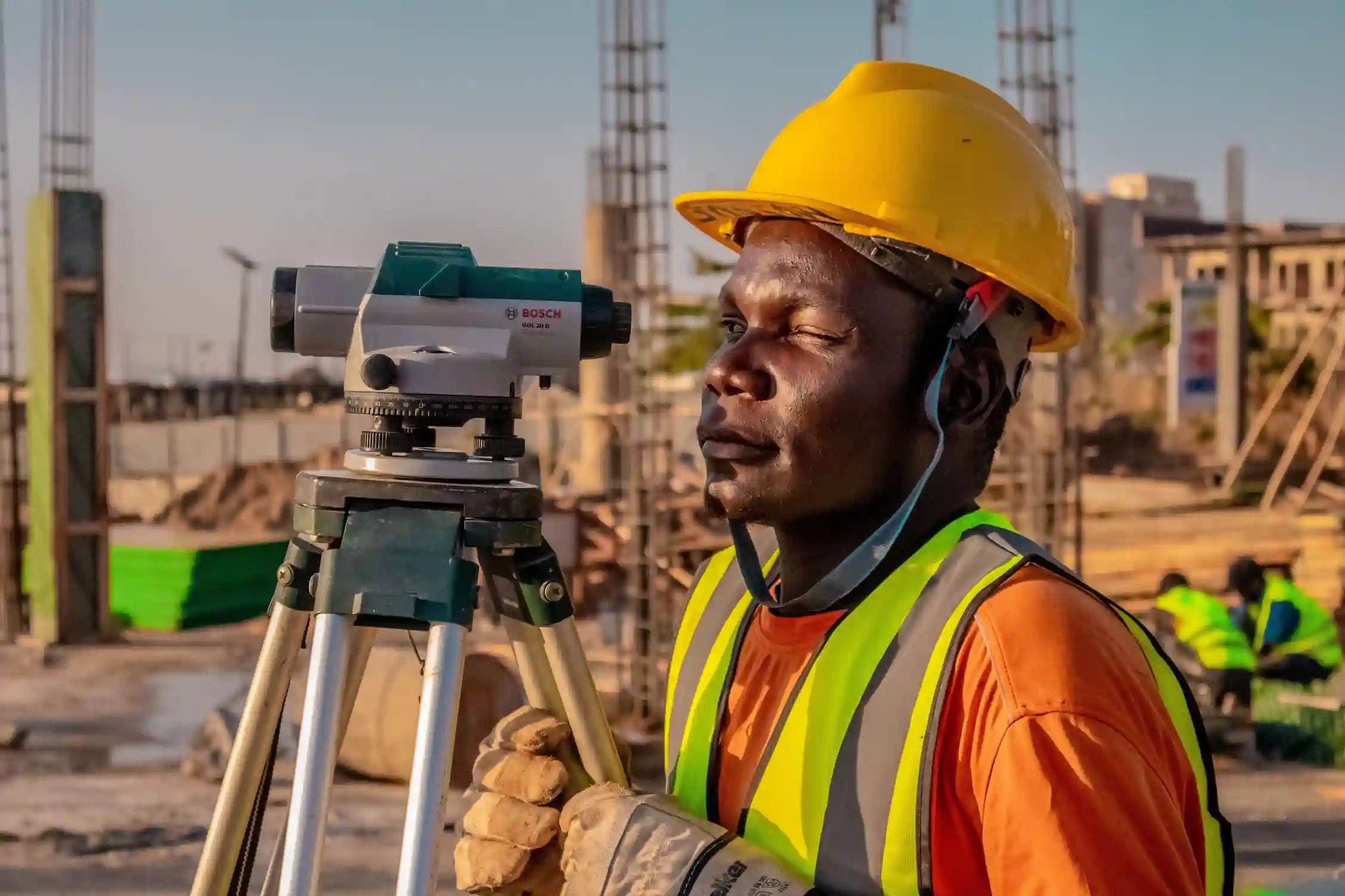
Industrial Drone & Geospatial Case Studies in Saudi Arabia

Real deployments across the Kingdom: asset and pipeline inspection, confined-space and offshore work, construction progress and surveys, mining sites, utilities, and telecom towers. Documented results from Terra Drone Arabia teams.

Hybrid Topographic Surveying for Critical Utility Expansion

Project Profile Parameter Specifications Industrial Sector Municipal Infrastructure & Utilities Project Stage Pre-Construction Land & Aerial Topographic Survey Field Execution Window Hybrid Geodetic Control, Ground Surveying, & Drone Remote Sensing

Drone in Coffee Farm

Project Overview This project focuses on the precision agriculture sector located within the Southern Region of Saudi Arabia. The primary objective is to revolutionize large-scale coffee farm management by integrating

Your project could be next

Tell Us About Your Challenges

Aerial drone view of Riyadh skyline in Saudi Arabia

Get the Drone & Geospatial Brief, Saudi Arabia

Real project breakdowns, GACA regulatory updates, and field-tested case studies from oil and gas, mining, and infrastructure operations. Used by engineering and procurement teams at Saudi Arabia’s largest operators. 

Joined by 2K+ industry professionals in Saudi Arabia.