TDSA Logo Long Positive

Drone Services for Saudi Arabia's Critical Industries

One GACA-certified drone services company in Saudi Arabia, six service lines, certified pilots, and ISO-aligned procedures on every mission.

CORE ADVANTAGES

End-to-End Drone Services Solutions

From flight planning to final deliverables, one Riyadh-based team covers construction, oil and gas, mining, and agriculture programs across KSA.

Comprehensive End-to-End Drone Solutions

One in-house team handles flight planning, data capture, processing, analysis, and delivery, eliminating coordination gaps between contractor stages and maintaining consistent quality from flight to final report.

Industrial Drone Services Across Six Sectors

Six service lines deployed across oil & gas, utilities, construction, agriculture, mining, and government. Each workflow is calibrated to sector-specific safety requirements, data standards, and client acceptance criteria.

Purpose-Built Platforms & Technology

Mission-matched equipment for each service line: Terra LiDAR and Terra Mapper for survey, DJI Dock 3 for autonomous patrol, Aviro Sprayer for agriculture, and DJI FlightHub 2 for fleet coordination, not a one-size fleet.

GACA-Certified, Aramco-Registered Operations

Every mission flown by GACAR Part 107-certified pilots under ISO 9001:2015, ISO 45001:2018, and ISO 22301:2019 systems. Registered vendor for Aramco, SEC, Ma'aden, NEOM, and ROSHN with documented HSSE procedures.

Service Capabilities

Six drone service lines under one provider, from survey and surveillance to environmental, geophysical, agriculture, and UTM operations.

Survey & Mapping

Aerial data acquisition for topographic, volumetric, and asset mapping missions. Drone photogrammetry and LiDAR survey systems capture centimeter-accurate elevation data, point clouds, and orthoimage mosaics for roads, utilities, pipelines, mining stockpiles, and construction baselines, processed into GIS-ready and BIM-compatible deliverables.
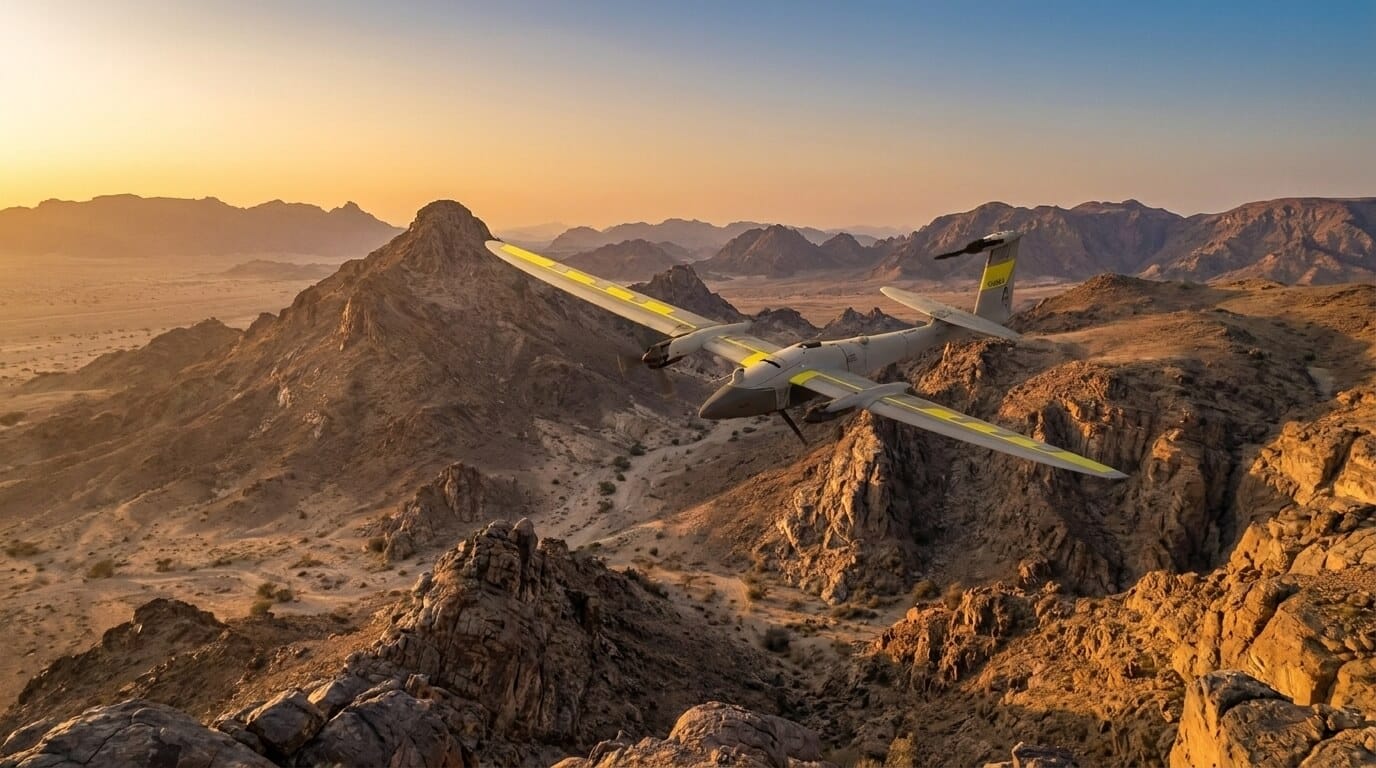
Fixed-wing drone flying over rugged Saudi Arabian terrain for drone survey and mapping

Drone Photogrammetry & Ortho Mapping

High-resolution aerial imagery processed into accurate orthophoto maps and 2D planimetric data for land development, site planning, and volume calculations with GSD as fine as 2 cm.

LiDAR & Elevation Data Capture

LiDAR drone surveys deliver laser-accurate elevation models and contour data even through vegetation, supporting road, utility, pipeline, and infrastructure design baselines.

3D Modeling & Digital Twin Creation

Convert drone data into detailed 3D point clouds, digital terrain models, and digital twins for asset lifecycle management, structural analysis, and engineering workflows.

Construction Progress Monitoring

Repeat aerial surveys at defined project milestones compare as-built progress against design baselines, track volumetric changes, and deliver transparent progress documentation for owner and contractor.

Drone Surveillance & Security

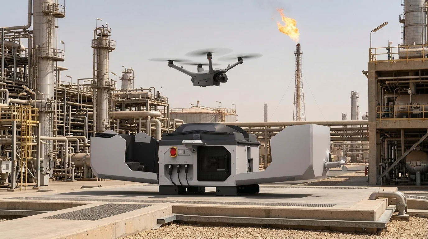
Aerial security monitoring and autonomous patrol for large industrial sites, refineries, construction compounds, and critical assets. DJI Dock 3-based drone-in-a-box stations enable 24/7 perimeter coverage without permanent crew deployment, with thermal and optical feeds for real-time situational awareness and emergency response support.
Autonomous drone-in-a-box inspection at a Saudi Arabia oil refinery: docking station and scheduled online aerial survey of industrial assets

Security Perimeter Monitoring

Aerial patrols of refineries, construction sites, and large industrial compounds detect unauthorized access, perimeter breaches, and security non-compliance from a live optical and thermal feed.

Drone-in-a-Box Autonomous Patrol

Fixed DJI Dock 3 stations launch scheduled and on-demand aerial patrols without a crew, delivering continuous site coverage and sensor data without staffed patrol gaps.

Emergency Response & Oil Spill Monitoring

Rapid aerial deployment for spill mapping, fire zone assessment, and structural incident evaluation, providing real-time situational awareness to support response teams and incident commanders.

Safety & HSE Violation Monitoring

Monitor construction sites and industrial facilities from the air for PPE compliance, restricted-zone violations, and near-miss hazard events, enabling faster corrective action across large sites.

Environmental Monitoring

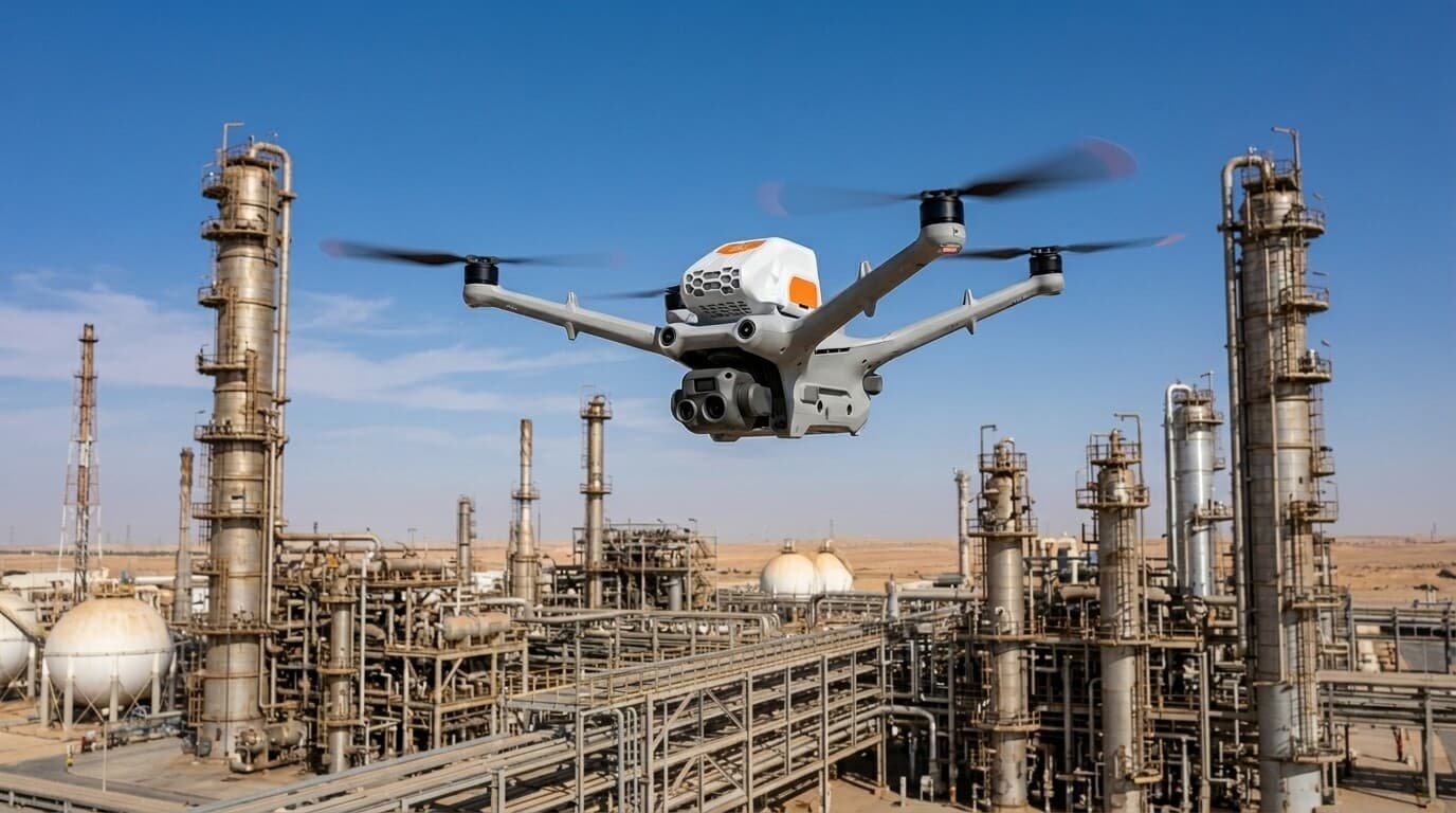
Airborne environmental sensing for methane and gas leak detection, greenhouse gas monitoring, air quality assessment, and water sampling. Laser-based methane sensors and multi-gas payloads quantify emissions across pipeline corridors, compressor stations, and tank farms, supporting ESG reporting, regulatory compliance, and environmental impact assessments for oil & gas and utilities operators.
Drone detecting methane emissions for environmental monitoring and ESG compliance at petrochemical facility in Saudi Arabia

Methane & Gas Leak Detection

Laser-based methane and VOC sensors detect, locate, and quantify gas leaks across pipeline corridors and tank farms for ESG reporting and regulatory compliance.

GHG & Emissions Monitoring

Track CO₂, NOx, and greenhouse gas emissions from industrial facilities to support sustainability programs, carbon footprint measurement, and regulatory audit trails.

Air Quality & Environmental Impact Assessment

Airborne sensors measure particulate matter, dust levels, and air quality indicators across project areas and perimeter zones for environmental impact reporting and community protection.

Water Sampling & Coastal Monitoring

Drones equipped with sampling tools collect water specimens from ponds, canals, and coastal zones for laboratory analysis, supporting water quality programs without boats or wading.

Geophysical Survey

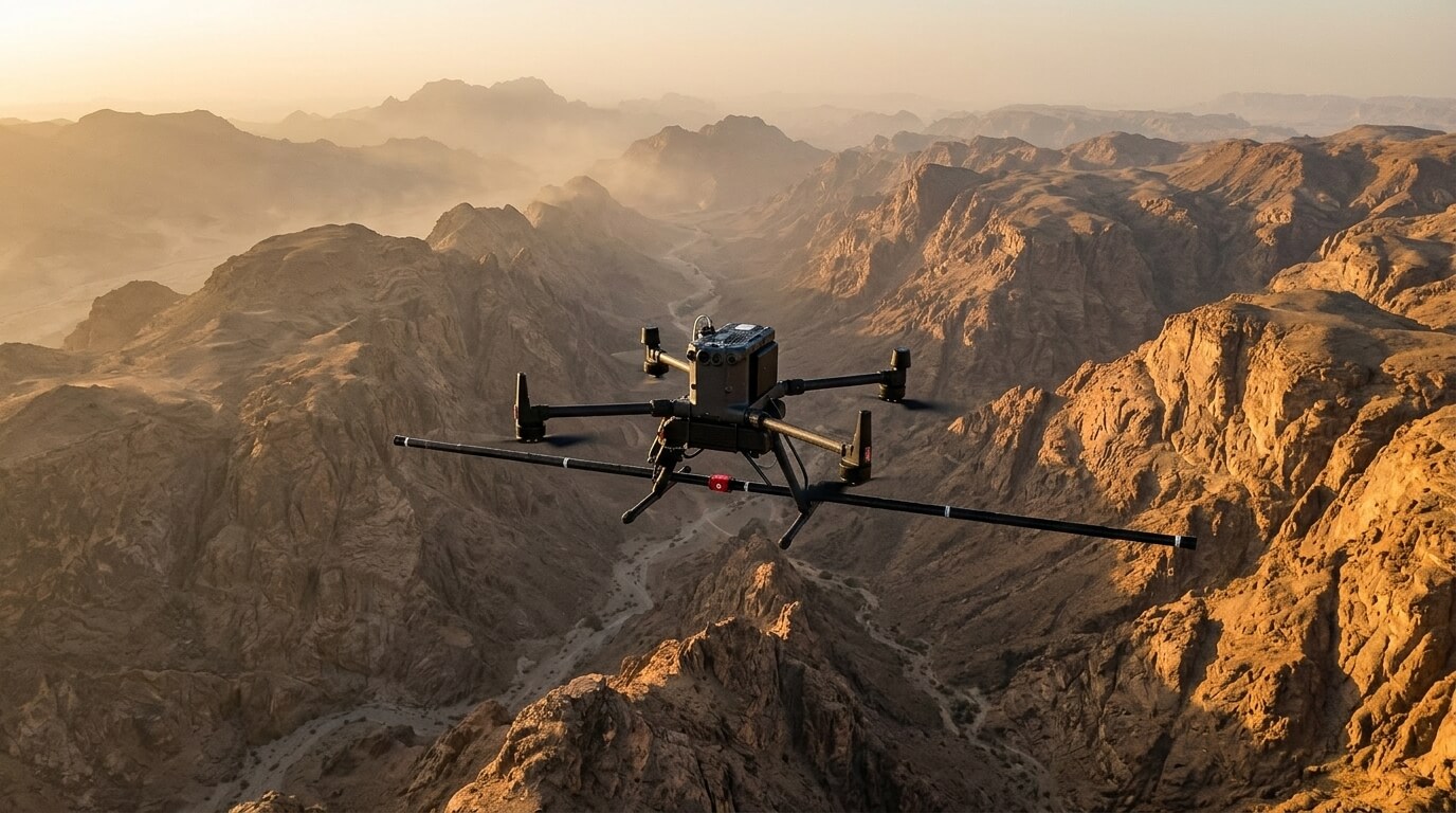
Airborne and ground-based geophysical data collection for subsurface mapping, mineral exploration, and infrastructure planning. Aeromagnetic surveys map geological structures and mineral targets; GPR-equipped drones detect buried pipes, cavities, and utilities; and electromagnetic systems characterize soil conductivity for geotechnical and environmental investigations.
Drone conducting aeromagnetic geophysical survey for subsurface mineral mapping in Saudi Arabia

Aeromagnetic Survey

High-resolution aeromagnetic surveys map subsurface magnetic field variations for geological characterization, mineral resource identification, and corridor planning.

Ground Penetrating Radar (GPR) Survey

GPR-equipped drones scan subsurface layers to detect buried pipes, utilities, cavities, and shallow structures with minimal site disruption for construction and geotechnical investigations.

Electromagnetic Survey

Electromagnetic surveys assess soil conductivity and subsurface composition for mineral exploration, contamination studies, and geotechnical site characterization ahead of construction.

Shallow Subsurface & Geological Mapping

Multi-sensor geophysical data collection for near-surface geological characterization, fault mapping, and corridor assessments ahead of pipeline, road, or transmission line construction.

Agriculture Drone Services

Precision agriculture data and spraying solutions for crop monitoring, plantation management, and land mapping. Multispectral drones generate NDVI and NDRE crop health maps; Terra Sprayer systems deliver variable-rate pesticide and fertilizer applications; and georeferenced land parcel maps support irrigation planning and subsidy programs across Saudi Arabia’s agricultural sector.
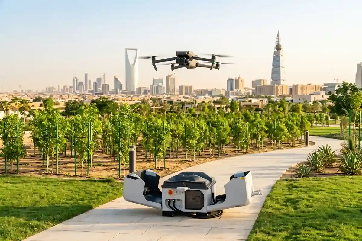
An automated drone landing on a compact DJI Dock 3 station installed inside a green municipal park in Riyadh during a clear summer day.

Crop Health Monitoring & NDVI Mapping

Multispectral drone surveys generate NDVI, NDRE, and chlorophyll index maps for early crop stress and disease detection, enabling targeted interventions before visible damage occurs.

Precision Spraying

Terra Sprayer drones deliver variable-rate pesticide, fertilizer, and bio-stimulant applications precisely where needed, reducing chemical use and improving crop outcomes at scale.

Land Parcel Mapping & Boundary Delineation

High-accuracy georeferenced maps define field boundaries, irrigation zones, and ownership parcels for agricultural planning, water resource management, and government subsidy programs.

Tree Health Assessment & Plantation Monitoring

Multispectral and thermal imaging identifies pest infestation, fungal disease, water stress, and canopy gaps across large-scale plantations, enabling early and cost-effective remediation.

UTM & Fleet Management

Drone traffic management, airspace compliance, and fleet coordination solutions for operators in Saudi Arabia. GACA-aligned UTM platforms manage multi-drone environments and regulated corridors; SORA consultancy supports airspace authorization for complex missions; and fleet compliance monitoring tracks flight hours, maintenance intervals, and regulatory status across large drone fleets under DJI FlightHub 2 and Terra FOS.
Smart city graphic with drones, IoT nodes, and UTM data overlays.

UTM Traffic Management Solution

GACA-compliant UTM platforms manage drone traffic, enforce airspace segregation, and provide real-time situational awareness for complex multi-drone operations and regulated corridors.

SORA & Airspace Authorization Consultancy

SORA (Specific Operations Risk Assessment) consultancy and airspace authorization support to obtain GACA flight permits for BVLOS and sensitive-area drone missions.

Fleet Compliance & Drone Monitoring

Drone monitoring solutions track fleet position, flight hours, maintenance intervals, and regulatory compliance status in real time, supporting large-operator compliance with GACA requirements.

Drone Tracking & FlightHub 2 Integration

Drone identification and tracking devices integrated with DJI FlightHub 2 and Terra FOS provide digital chain-of-custody flight records for audit, insurance, and GACA compliance reporting.

Better data, faster decisions, lower field costs.

Let's Scope Your Next Drone Mission

Aerial drone view of Riyadh skyline in Saudi Arabia

Get the Drone & Geospatial Brief, Saudi Arabia

Real project breakdowns, GACA regulatory updates, and field-tested case studies from oil and gas, mining, and infrastructure operations. Used by engineering and procurement teams at Saudi Arabia’s largest operators. 

Joined by 2K+ industry professionals in Saudi Arabia.