

Surveying Jeddah Industrial Drainage Networks Using Drone Topographic Surveys and LiDAR
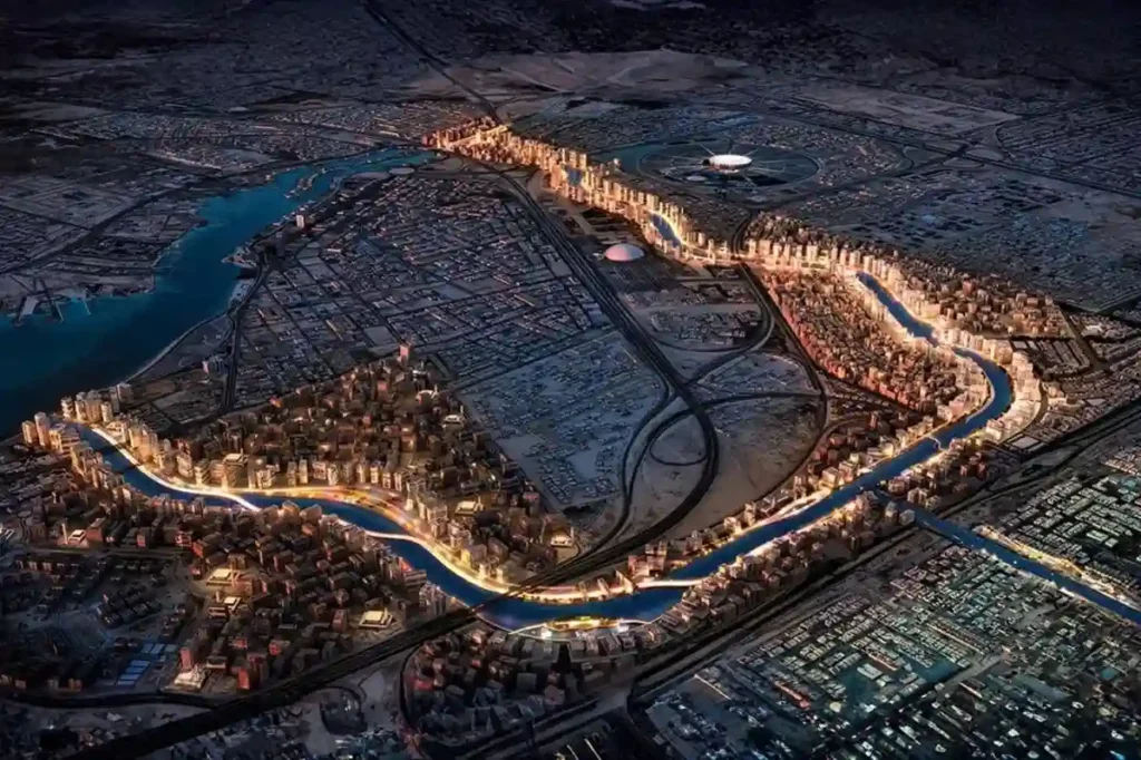
Expanding across low-lying coastal plains along the Red Sea, Jeddah 2nd and 3rd Industrial Cities managed by the Saudi Authority for Industrial Cities and Technology Zones (MODON), house essential manufacturing, chemical processing, and logistics facilities. The geographic positioning of these industrial zones exposes broad land parcels to periodic torrential rainfall and rapid surface water runoff […]
Utilizing LiDAR Surveys Streamline Rail Infrastructure Monitoring in Dammam
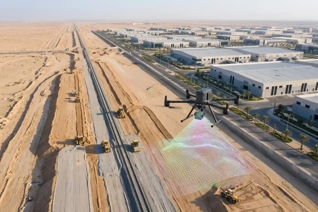
Saudi Arabia Railways (SAR) initiated the construction of the 21-kilometer single-track freight railway connecting Dammam Second Industrial City directly to the national rail network and King Abdulaziz Port. Designed to connect over 1,000 industrial facilities, the linear infrastructure project encompasses extensive earthworks, utility protection, a 265-meter bridge spanning Highway HW615, and a 118-meter bridge crossing […]
Streamlining Petrochemical EPC Construction Progress and Asset Integrity with Drones
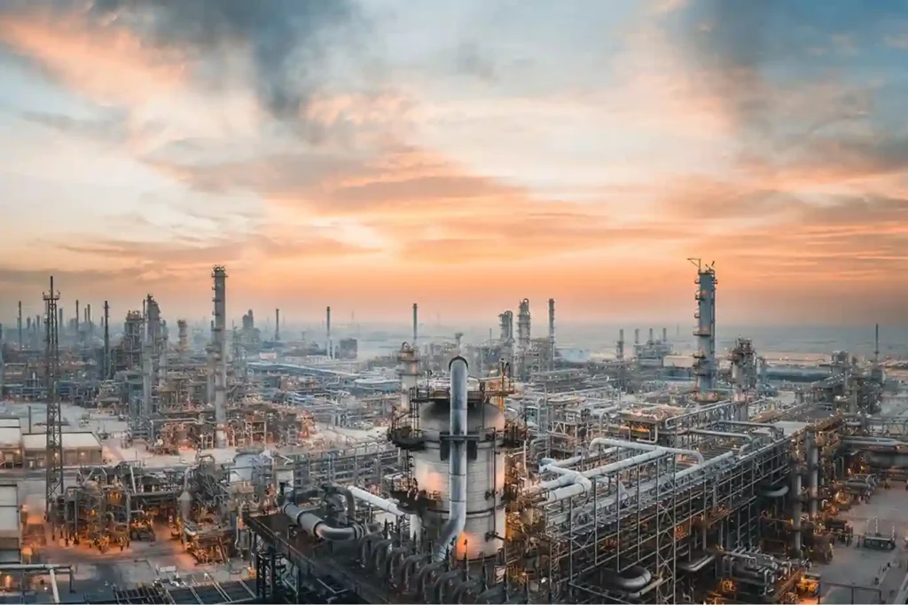
Industrial expansion across Saudi Arabia exemplified by the SAR 41.25 billion Amiral Petrochemical Complex integrated into the SATORP refinery in Jubail Industrial City requires rigorous oversight during engineering, procurement, and construction (EPC) execution. Spanning 4.3 square kilometers, the complex houses a 1.65 million tonnes/year mixed-feed steam cracker, dual polyethylene lines, and associated derivative units. Managing […]
Drone Photogrammetry for SEZ Land Enablement and Digital Twin Mapping
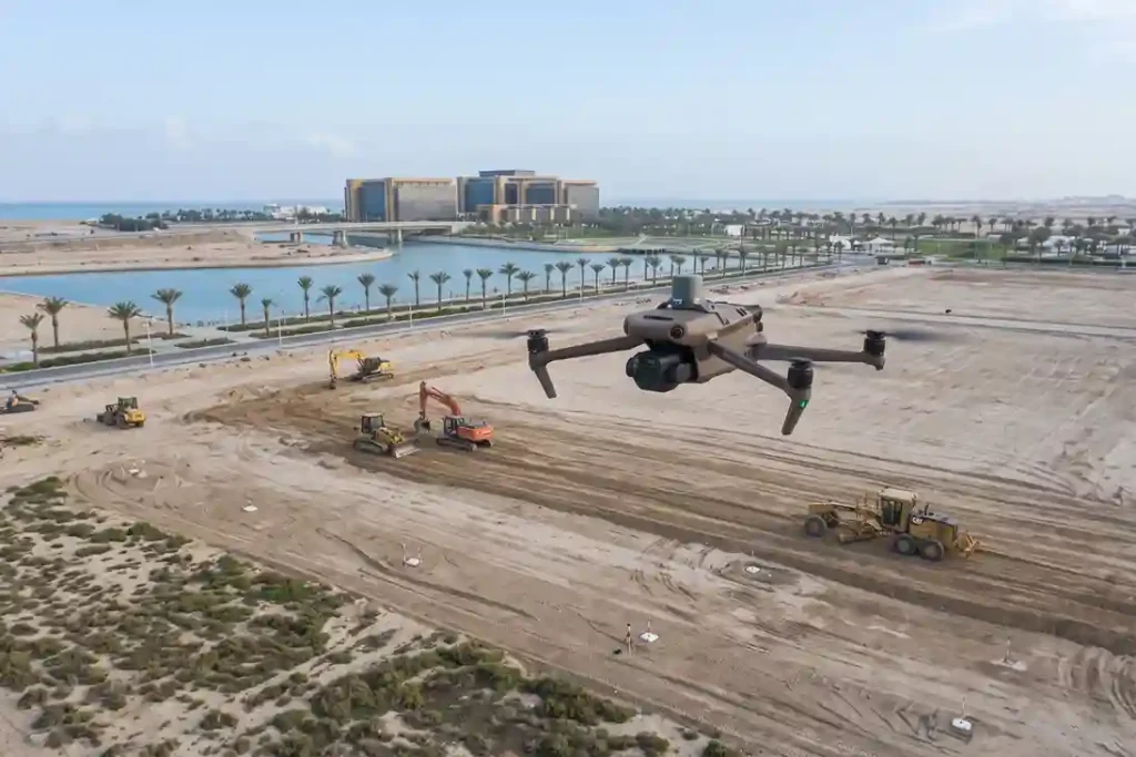
Saudi Arabia’s industrial strategy has pivoted away from speculative, broad-acre “Economic Cities” toward targeted, supply-chain-driven development. Rather than constructing massive greenfield cities expecting tenants to follow, national planning now prioritizes disciplined regionalization, sector-specific industrial clusters, and targeted Special Economic Zones (SEZs). Saudi Arabia SEZ Economic Footprint: – KAEC SEZ: 60 km² Footprint (Advanced Manufacturing & […]
The Importance of Establishing Special Economic & Industrial Zones in KSA
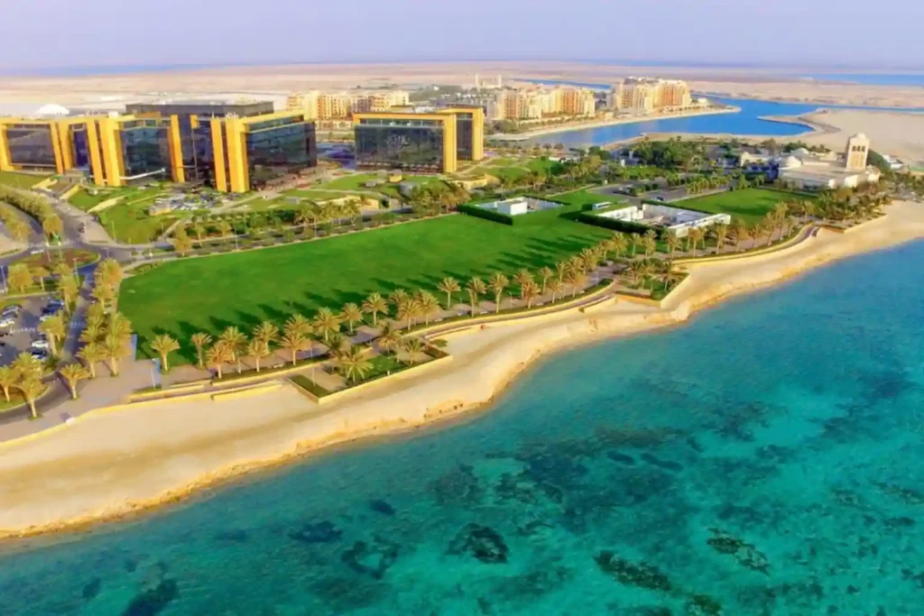
Arabia’s industrial transformation. Managed by key entities such as the Saudi Authority for Industrial Cities and Technology Zones (MODON) and ECZA (the Economic Cities and Special Zones Authority), these dedicated economic hubs provide integrated infrastructure, clusterized supply chains, and specialized business ecosystems. MODON currently oversees 36 industrial cities encompassing over 200 million square meters of […]
Drone Progress Monitoring and Orthomosaic Mapping for AlWadi Civil Works
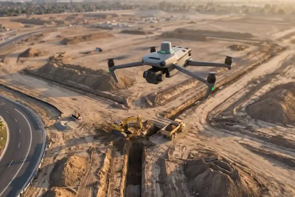
ARDARA’s flagship AlWadi development encompasses 2.5 million square meters of connected urban and waterfront districts in Downtown Abha. Designed to align with Saudi Vision 2030, the master plan dedicates over 30% of its footprint to green open spaces, pedestrian promenades, and active mobility networks. AlWadi Enablement Framework: Site Footprint: 2.5 Million m² Total Master Plan […]
Drone LiDAR Flood Mapping and Riverbed Hydrological Survey for AlWadi
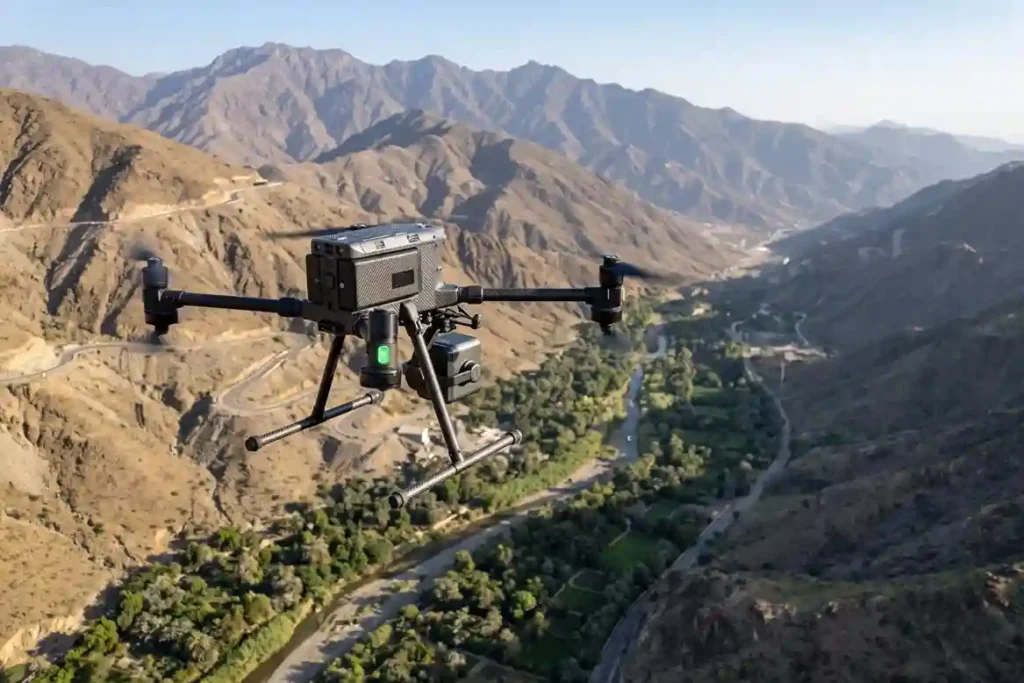
ARDARA’s flagship AlWadi development encompasses over 2.5 million square meters of connected urban and waterfront districts in Downtown Abha. Designed to align with the objectives of Saudi Vision 2030, the master plan dedicates over 30% of its total footprint to green open spaces, pedestrian pathways, and public amenities. AlWadi Master Plan Spatial Footprint: Total Site […]
Aerial Volumetric Surveying for Canal Excavation and Earthworks Tracking
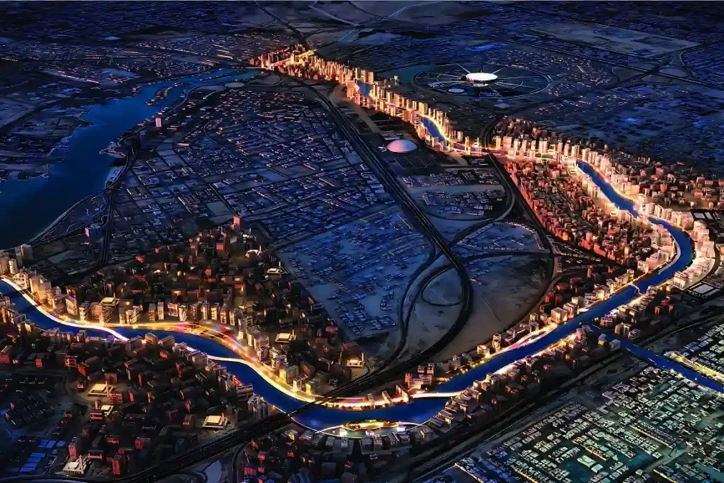
ROSHN Group’s landmark MARAFY development encompasses over 9.4 million square meters of integrated waterfront districts in northern Jeddah. The central centerpiece of this master plan is Saudi Arabia’s first navigable urban water channel, extending 11 kilometers in length and over 100 meters in width to connect Obhur Creek inland. Executing a civil project of this […]
Cliffside Risk and Moving Components Mapping at the New Qiddiya Stadium
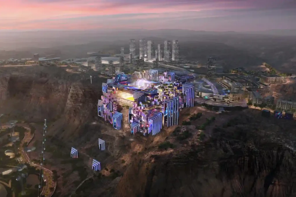
The construction of the Prince Mohammed bin Salman Stadium represents a significant architectural shift in global sports infrastructure. It stands as a crown jewel of the Qiddiya gigaproject, built directly atop a breathtaking, vertical 200-meter-high Tuwaiq cliff edge that overlooks the Qiddiya entertainment district. Designed to serve as a premier venue for the 2027 AFC […]
King Fahd Stadium: How Drone Secures the 2027 Asian Cup Venue
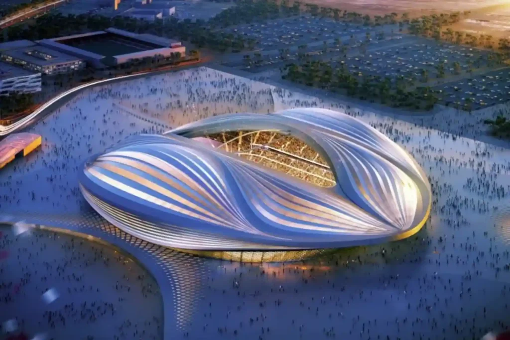
As Saudi Arabia approaches the 2027 AFC Asian Cup, the expansion of King Fahd Sports City Stadium stands as the primary infrastructure priority. Chosen to host the tournament’s opening and closing ceremonies, the venue requires a complete engineering overhaul to meet international standards. This massive civil construction project involves complex structural modifications. The expansion will […]
 العربية