Habitat Mapping for Bird Migration: Protecting Safe Stops
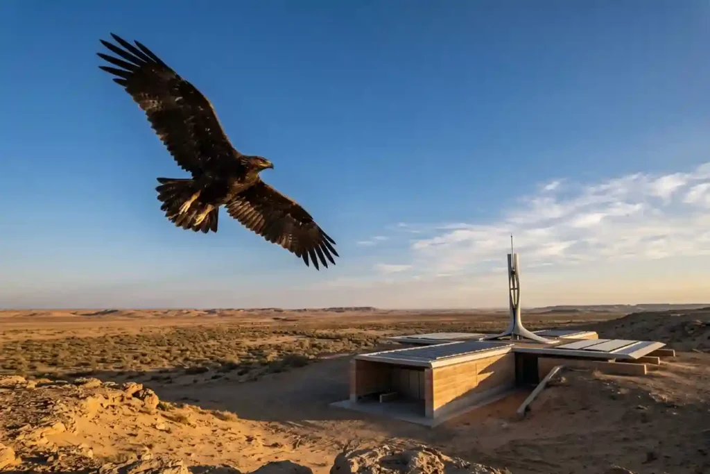
Every year, millions of birds cross continents to find better weather and food. As of May 2026, Saudi Arabia remains a vital safe haven on the African-Eurasian flyway, serving as a rest stop for these travelers. The Kingdom is home to over 500 bird species and hosts 14 out of the 15 species that are […]
GACA Drone Regulations: The 2026 Permit Guide
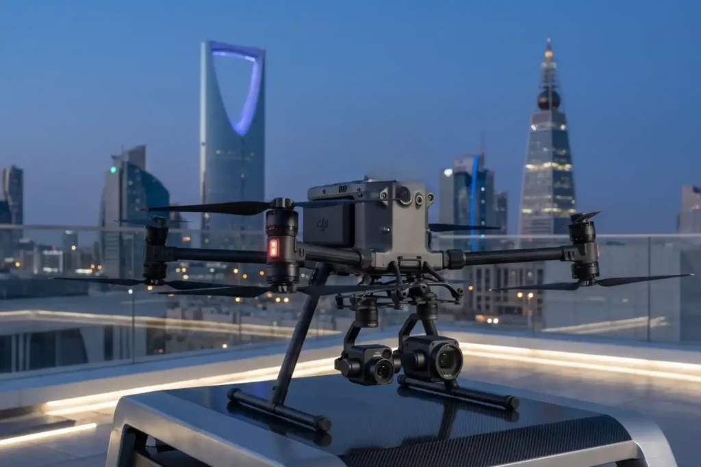
In 2026, Saudi Arabia’s drone industry is a core part of the Kingdom’s digital transformation and Vision 2030 goals. Operating a drone professionally requires more than just a controller; it requires a multi-step legal framework. Following GACA regulations ensures that your business objectives are recognized as part of a safe and integrated airspace. This guide […]
Why Drones Are Faster Than Traditional Mapping for Large Sites
Mapping large, rugged areas of land like those in Makkah has traditionally been a slow and labor-intensive process. When dealing with several square kilometers of uneven terrain, manual ground teams often spend weeks or even months walking the site to collect enough data points. In the recent project taking place in Makkah, the goal was […]
Why We Need Digital Twins to Save Our Ancient Landmarks

History is not permanent. Even the strongest stones of Al-Ula and the ancient mud-brick walls of Diriyah face a silent, constant threat from time, weather, and the natural process of decay. While we cannot stop the clock, we now have the technology to create a perfect digital backup of these treasures before they change forever. […]
Safe Site Measurement: Visual RTK GNSS Measurement for Elevation Models and Surface Mapping

In the high-stakes environments of 2026, topographic surveying has evolved. We have moved past simple coordinates and into the realm of complex Digital Elevation Models (DEM) and Digital Surface Models (DSM). However, a persistent challenge remains: the vertical barrier. Whether it is an unstable pit wall in a quarry or a jagged stockpile in a […]
The Complete DJI Enterprise Software Guide: From Data to Intel

Drones alone are no longer enough for operational purposes. While a high-performance aircraft is the “muscle” of the operation, it is merely a vehicle for sensors. To truly unlock value, reliable software is needed to process large amounts of data acquired during field missions. The complexity of modern infrastructure means that “one size fits all” […]
Terra Xross 1: Redefining the Standard for Confined Space Inspection

In the heavy industrial landscape, the most critical assets, such as storage tanks, massive boilers, underground mine shafts, and ship cargo holds are often the most dangerous to inspect. Traditional manual methods require scaffolding, specialized high-risk permits, and placing human lives in dark, dusty, and oxygen-depleted environments. The Terra Xross 1, developed by Terra Drone […]
How Drones Conducted A Parallel Processing in A 116 sqkm Infrastructure Survey

Mapping the Future of Jeddah’s Infrastructure As Saudi Arabia accelerates its urban transformation under Vision 2030, the demand for high-precision geospatial data has never been higher. A critical component of this progress is the “Design for Sanitary Projects in Jeddah – Phase One,” a massive infrastructure initiative requiring an exact topographic understanding of the landscape. […]
How the FJD Trion V10i Redefines Centimeter Precision

In 2026, the margin for error in industrial surveying has effectively vanished. As we move toward a world of autonomous site governance and high-fidelity digital twins, the 1–2 centimeter accuracy range has transitioned from a specialized requirement to the baseline standard for every project. However, achieving this level of precision is rarely a “plug-and-play” affair. […]
FJD Trion Series: The GNSS Ecosystem for Every Operational Frontier

In 2026, centimeter-level accuracy is no longer a luxury, it is the prerequisite for the modern industrial site. Whether automating a tractor for row-crop optimization, guiding an excavator on a complex construction project, or deploying autonomous robotic mowers, high-precision geospatial data serves as the invisible backbone of efficiency. However, the modern operational environment is multi-faceted. […]