

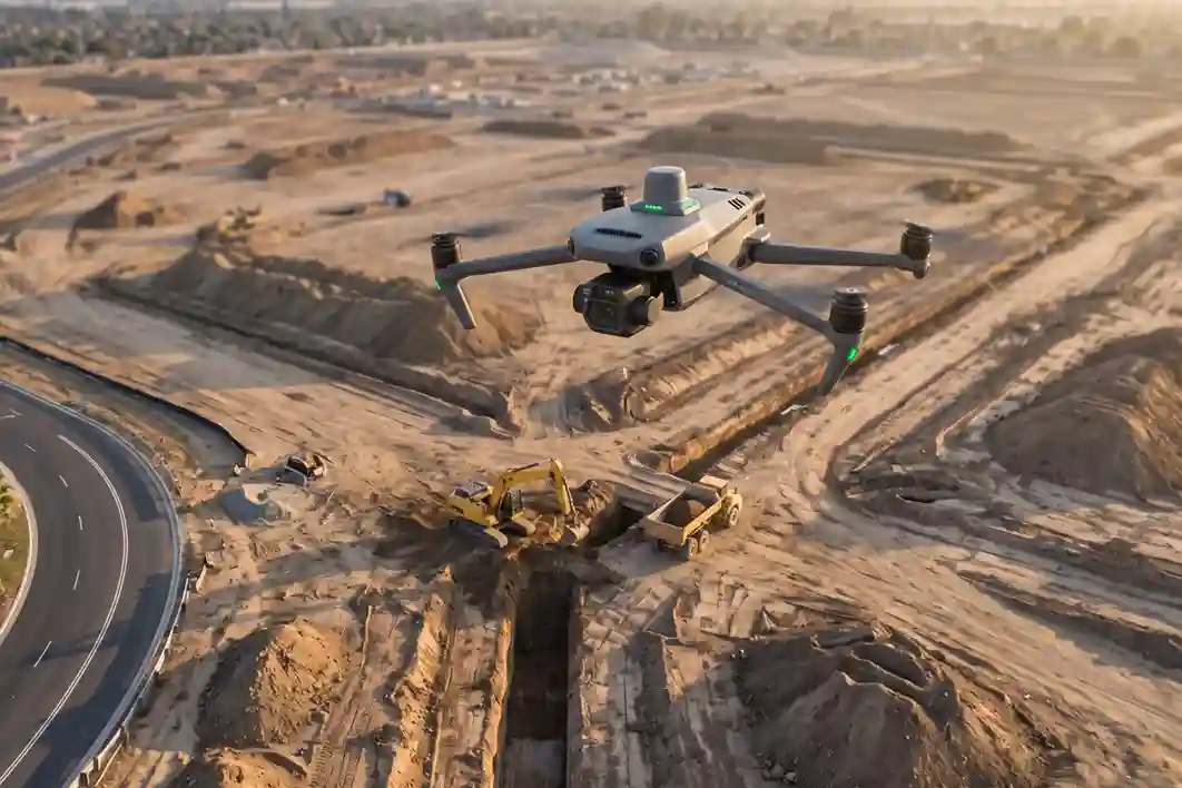
ARDARA’s flagship AlWadi development encompasses 2.5 million square meters of connected urban and waterfront districts in Downtown Abha.
Designed to align with Saudi Vision 2030, the master plan dedicates over 30% of its footprint to green open spaces, pedestrian promenades, and active mobility networks.
AlWadi Enablement Framework:
- Site Footprint: 2.5 Million m² Total Master Plan
- Economic GDP Target: >SAR 19 Billion Non-Oil Contribution by 2030
- Primary Enablement Tender: SAR 75 Million Trunk Sewer & Flood Drainage Network
- Major Private Package: SAR 4 Billion Sumou Holding Mixed-Use District (300,000 m²)
Preparing the 2.5 square kilometer site requires extensive civil enablement works. ARDARA has issued critical infrastructure packages, including a SAR 75 million trunk sewer diversion alongside high-capacity rainwater and flood drainage networks across the valley floor.
The overall destination is projected to contribute over SAR 19 billion to Saudi Arabia’s non-oil GDP by 2030.
Operational Challenges for Civil Infrastructure
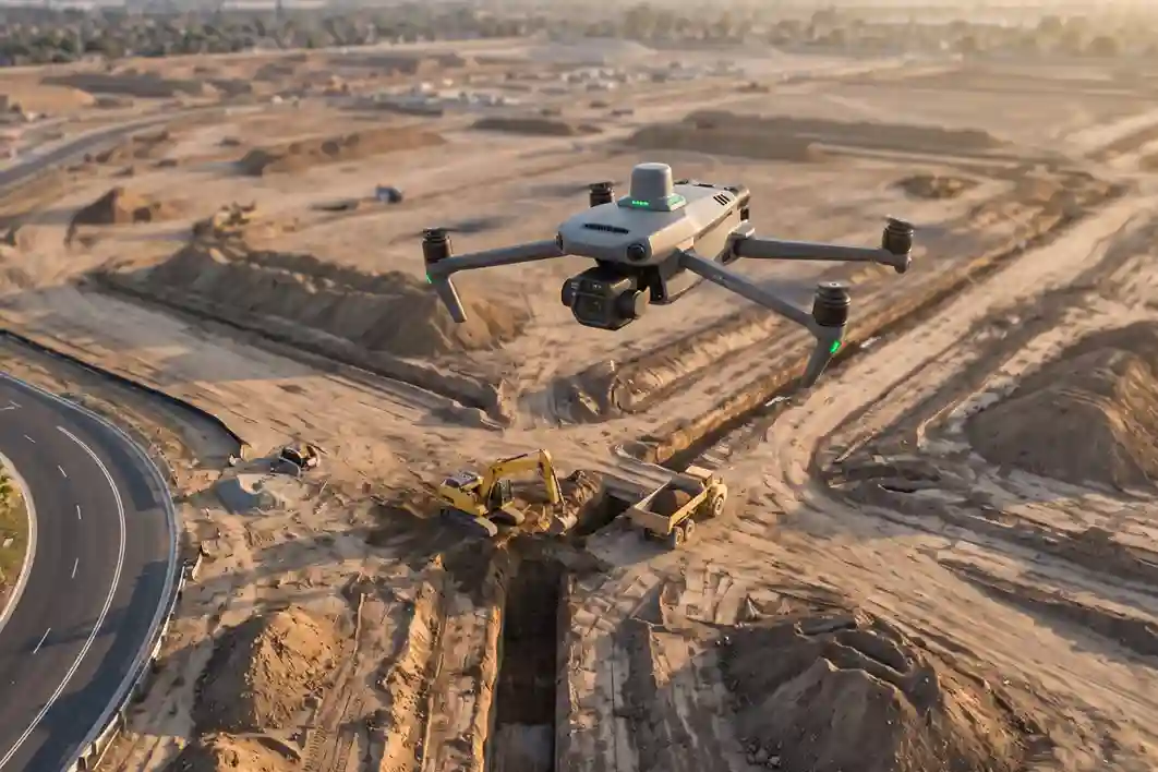
Managing infrastructure enablement across multi-sector construction zones introduces distinct quality control and progress monitoring challenges:
- High-Value Sub-Development Oversight: Monitoring contractor progress across major sub-packages, such as Sumou Holding’s SAR 4 billion investment spanning 300,000 square meters demands strict compliance with project timelines and CAD design specifications.
- Underground Utility & Trenching Alignment: Deep excavations for trunk sewer diversions and stormwater culverts require daily elevation checks to ensure correct pipe slope gradients and prevent structural re-work.
- Limitations of Ground Inspections: Conventional manual site walks are slow, subject to sampling error, and expose survey crews to hazards near heavy earthmoving machinery.
Drone Progress Monitoring and Aerial Quality Auditing Solutions
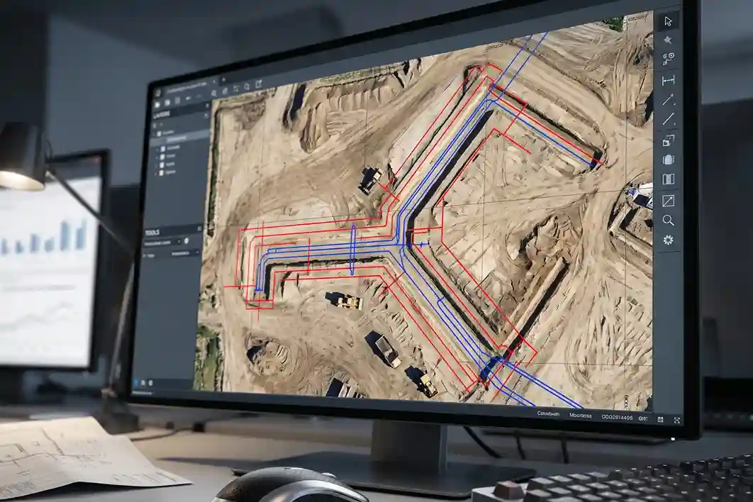
Adopting aerial progress monitoring through drone photogrammetry provides a non-contact method to audit civil enablement works across large construction footprints.
Drone Progress Monitoring Workflow:
- Aerial Data Collection: DJI Mavic 3 Enterprise Flight Sortie
- Photogrammetric Stitching: High-Resolution Orthomosaic Generation
- CAD Design Overlay: Vector Comparison vs. Actual Excavation Boundaries
- Quality Auditing: Automated Trench Depth & Volume Reporting
Industrial demand for automated construction tracking is expanding rapidly. Market data indicates that the global drone construction monitoring sector is projected to grow from SAR 1.76 billion in 2026 to SAR 6.45 billion by 2036 at a 13.8% CAGR.
Within this market, site surveying and aerial progress monitoring account for 34% of overall demand, while rotary-wing drone platforms represent 68% of inspection deployments due to vertical takeoff capabilities in active construction zones.
High-resolution orthomosaic maps allow site managers to overlay current construction progress directly against BIM models and CAD engineering drawings.
This digital auditing workflow reveals spatial discrepancies, unverified earthmoving claims, and trenching alignment errors early in the construction cycle.
Technical Platform Execution with the DJI Mavic 3 Enterprise
High-frequency aerial progress monitoring requires a compact, rapidly deployable drone platform engineered for precise geospatial capture.
- Flight Endurance & Deployability: The DJI Mavic 3 Enterprise (M3E) provides up to 45 minutes of flight time per battery, allowing field crews to survey large site sectors in a single operational sortie.
- Mechanical Shutter & RTK Precision: Equipped with a 20 MP 4/3 CMOS sensor and a mechanical shutter, the payload eliminates rolling shutter blur during high-speed mapping flights. Integrated RTK positioning modules deliver centimeter-level coordinate accuracy at a Ground Sampling Distance (GSD) of $1.5\text{ cm/pixel}$.
- Cloud Data Integration: Georeferenced orthomosaics and 3D terrain meshes synchronize with cloud management platforms, providing project managers and main contractors with transparent records for contractor progress billing and site safety audits.
Integrated Site Oversight and Interlinking
Combining high-frequency aerial progress monitoring with bare-earth hydrological terrain modeling ensures that civil enablement works align with long-term site stability goals.
For a detailed analysis of how aerial LiDAR remote sensing captures bare-earth terrain data along the valley floor to protect civil enablement works against seasonal flood risk, read our main study:
👉 Drone LIDAR Flood Mapping and Riverbed Hydrological Survey for AlWadi
That analysis examines how multi-return LiDAR payloads on the DJI Matrice 400 penetrate riverbed vegetation to capture 3D elevation data across the 16 km Abha Valley corridor.
Consult with Our Experts
Are you preparing to implement aerial progress monitoring, orthomosaic site mapping, or civil enablement quality audits for your mega-infrastructure developments?
Talk to a geospatial specialist to deploy high-precision drone survey workflows for your construction site.

 العربية