

The EMAT Test: High-Precision NDT Without the Mess
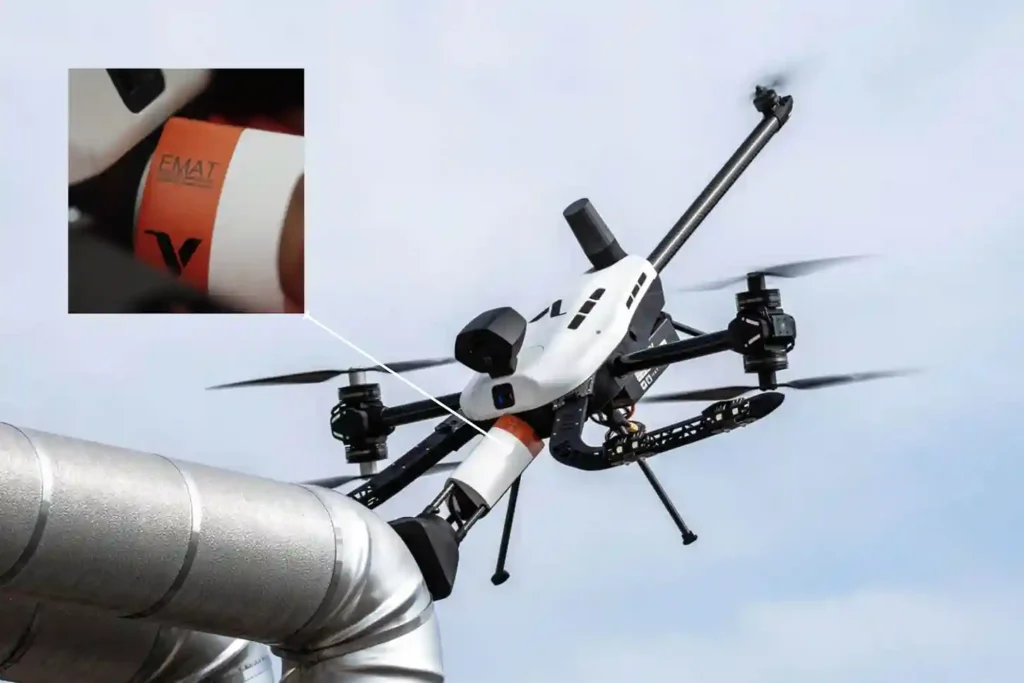
For decades, Ultrasonic Testing (UT) has been the gold standard for verifying asset integrity, yet it remains plagued by operational “friction”. Traditional piezoelectric transducers require a liquid coupling medium, such as water or gel o transmit sound waves into a material. This necessitates extensive surface preparation, including the removal of coatings, rust, and dirt, followed […]
Voliro T: Redefining Structural Integrity Inspections through Aerial NDT
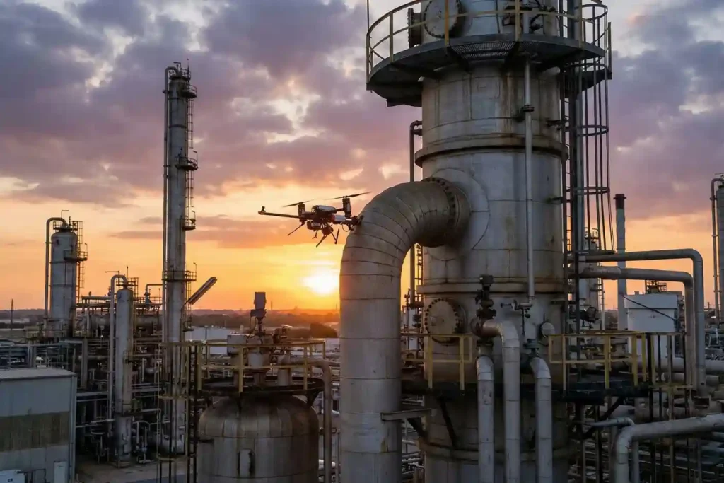
For years, industrial drones have been celebrated as the “eyes in the sky,” providing invaluable visual and thermal data from a safe distance. However, for asset integrity managers, a significant “last mile” remained: the inability to perform physical, contact-based testing without expensive scaffolding, risky rope access, or heavy machinery. Enter the Voliro T. This is […]
How the FJD Trion V10i Redefines Centimeter Precision

In 2026, the margin for error in industrial surveying has effectively vanished. As we move toward a world of autonomous site governance and high-fidelity digital twins, the 1–2 centimeter accuracy range has transitioned from a specialized requirement to the baseline standard for every project. However, achieving this level of precision is rarely a “plug-and-play” affair. […]
FJD Trion Series: The GNSS Ecosystem for Every Operational Frontier

In 2026, centimeter-level accuracy is no longer a luxury, it is the prerequisite for the modern industrial site. Whether automating a tractor for row-crop optimization, guiding an excavator on a complex construction project, or deploying autonomous robotic mowers, high-precision geospatial data serves as the invisible backbone of efficiency. However, the modern operational environment is multi-faceted. […]
Major Update on GACA Regulation Part 107 Operation of UAS V5
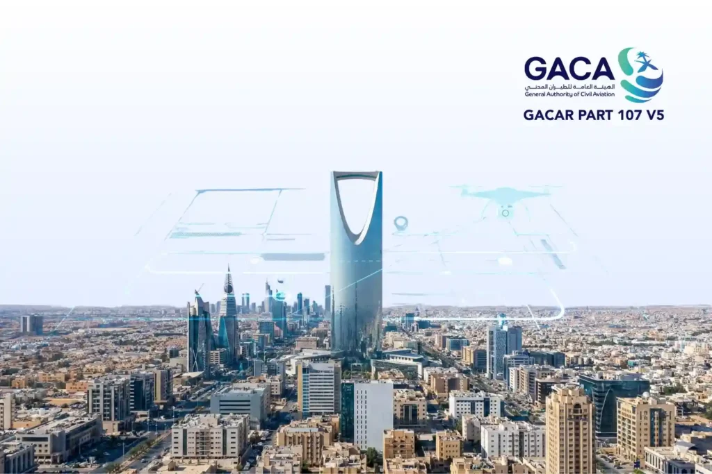
The publication of GACAR Part 107 Version 5 represents a watershed moment for the Kingdom’s aviation sector. This update signifies a transition from a reactive, case-by-case regulatory model to a sophisticated, risk-based regulatory framework. By aligning Saudi Arabia’s General Authority of Civil Aviation (GACA) protocols with international best practices most notably the European Union Aviation […]
Cloud-First Mapping: Accelerating Construction Timelines with ArcGIS Online and ArcGIS Enterprise
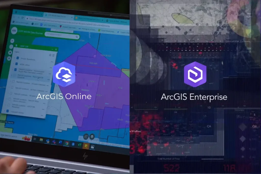
Every drone mission, whether it is an inspection of a solar farm in NEOM or a volumetric survey in the Empty Quarter ends with a massive influx of data. Thousands of images, high-density point clouds, and thermal layers require a “home.” Without a robust platform to organize and visualize this information, your drone program is […]
Integrating Real-Time Data Acquisition and GIS Processing in Industrial Intelligence

In the traditional era of drone mapping, the capture of aerial imagery was only half the battle. For years, the bottleneck was the processing, loading thousands of high-resolution images onto local workstations that would churn for days to produce a single orthomosaic. This fragmented approach led to data silos, inconsistent results, and a lack of […]
Engineering the “Eyes” of Autonomous Flight with Digital Twin & Synthetic Vision

The Pilotless Revolution The future of urban transportation is not just in the air; it is autonomous. To realize the full potential of Advanced Air Mobility (AAM), air taxis must transition from human-piloted craft to fully autonomous systems capable of scaling across busy metropolitan centers. However, this transition faces a massive technical hurdle: the “urban […]
Navigating the Future Air Transportation with Aerial Corridor Mapping

For decades, we have looked at the sky above our cities as an open, unstructured void. While our roads became congested and our ground-level infrastructure reached its physical limits, the airspace remained the “final frontier” for urban transport. However, as we move through 2026, that void is being filled. A quiet revolution is occurring just […]
Autonomous Maintenance: How the low altitude economy Will Inspect NEOM’s The Line in 2026
The Density Challenge When we talk about NEOM’s The Line, we are not discussing a standard skyscraper. We are talking about a continuous, 170km-long structure where structure and facilities are bound together in a straight, vertical line. Unlike traditional cities where utilities are spread out horizontally, The Line compresses everything from energy, water, transport, and […]
 English