

Milestones to Watch in 2026 as Saudi Arabia Advances Vision 2030
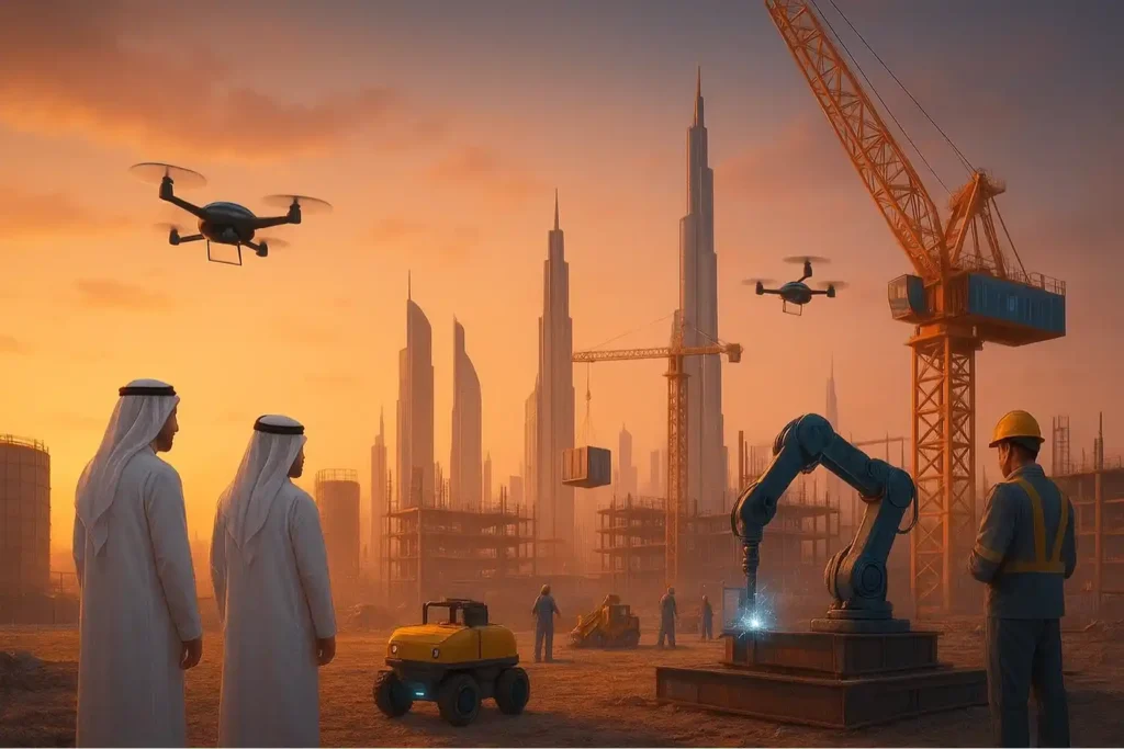
The Year of Realization For the past seven years, the world has watched Saudi Arabia move earth and sand on a scale never seen before. We have witnessed the largest construction sites in history, from the mountains of Trojena to the coasts of the Red Sea. But as we approach 2026, the narrative is changing. […]
Economy under 1,000 Feet: The Rise of LAE in Smart Cities
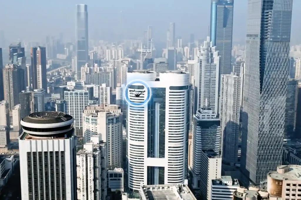
The Next Industrial Airspace Layer We often look at the sky and see empty space. However, a quiet revolution is happening just above our heads. This is the rise of the low altitude economy (LAE). This term refers to a new economic and operational domain occupying the airspace below 1,000 feet. It represents the next […]
Integrated Aerial, Terrestrial, and Marine Inspection Framework for Industrial Asset Integrity

The Three-Dimensional Integrity Challenge Managing major infrastructure from long-distance pipelines and highways to offshore oil facilities, is a massive task. Asset owners in the MENA region face the immense challenge of maintaining structural health across all three major environments: air (high-altitude assets), land (linear corridors), and sea (submerged foundations). The traditional approach to managing these […]
The Coastal Imperative: Why ROV-Based Monitoring is Essential for Maintaining Saudi Vision 2030’s Offshore and Port Infrastructure.

The Challenge Beneath the Surface The foundations of the MENA economy, jetties, bridges, seawalls, port facilities, and offshore energy platforms. They rely on submerged infrastructure. These assets face a brutal, unseen enemy: the marine environment. Constant exposure to seawater, which is highly corrosive, leads to material loss. This structural decay is worsened by biofouling, the […]
Advancing Geospatial Intelligence for Smarter Cities and Infrastructure
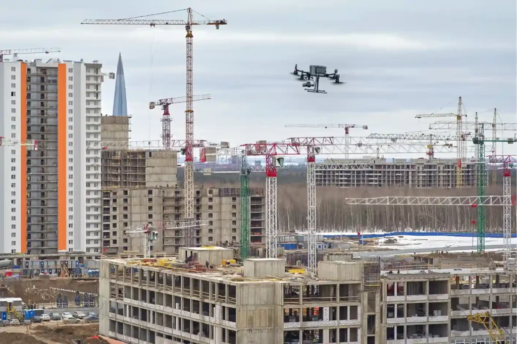
Saudi Arabia is building the future, investing heavily in monumental projects like NEOM, The Line, and Red Sea Global. These megaprojects carry an immense price tag and an equally immense demand for speed and precision. However, construction starts with Topographic Mapping, and here lies a critical problem. Conventional surveying methods, which rely on manual teams […]
Precision Mapping: The Technical Core of High-Speed Highway Design
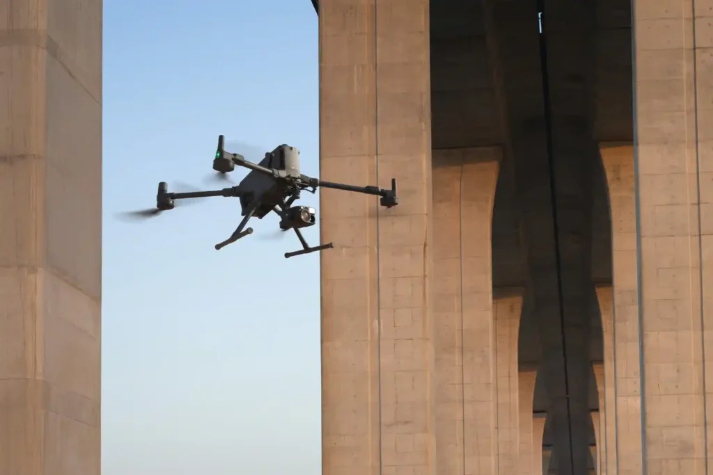
The foundational task of building or improving any major road, rail, or highway in the swiftly developing MENA region is topographic mapping. This process, which creates a three-dimensional model of the land’s surface, is not just a preliminary step; it dictates the engineering viability, the budget, and the ultimate timeline of the entire project. Yet, […]
From Survey to Digital Twin: The Technical Roadmap for Drone-Powered Highway Construction.
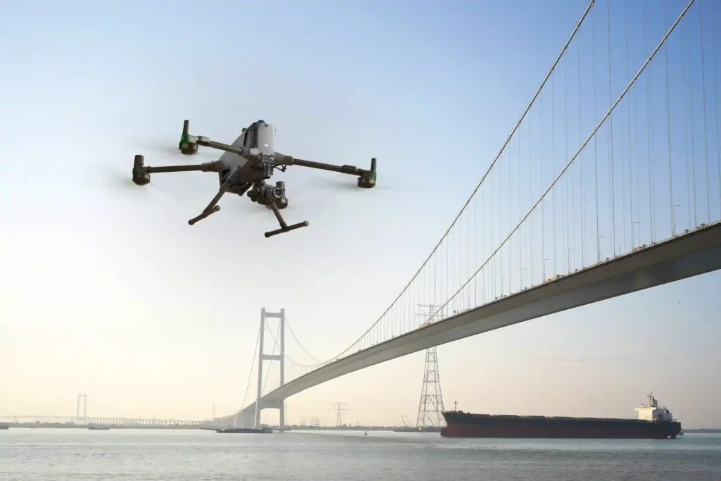
The vast, intricate road and highway network is the undisputed backbone of the modern economy, especially across the swiftly developing MENA region. These vital transportation arteries, which stretch across great distances, face constant challenges: rapid material breakdown from harsh climates, ceaseless heavy traffic, and the severe safety risks tied to manual maintenance. Inspecting and caring […]
How Drones 2x Fastened Survey for Large Areas
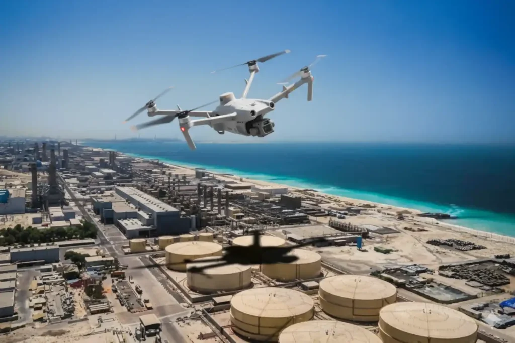
Executive summary We delivered a coastal topographic map to support mangrove planning and environmental impact assessment across 102 km² split into 13 shoreline blocks in Jubail and Ras Al Khair. Field data collection finished in 1 month. Processing took 2 months. The program concluded in under 3 months end-to-end, significantly faster than a traditional coastal […]
How Drone Topographic Mapping Captured 124 km² in 1 Month
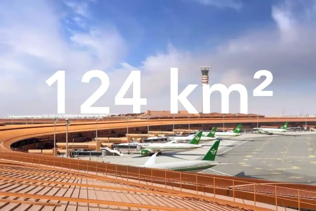
Every decision in a sewer upgrade or drainage expansion depends on the fidelity of the ground surface you hand to designers. In a dense urban corridor next to an international airport, conventional total station and GNSS traverses face line-of-sight gaps and obstruction bias that create uneven accuracy and patchy coverage. That risk is real in […]
Drone-Based Progress Tracking: Enhancing Accuracy, Safety, and Efficiency in Construction Projects
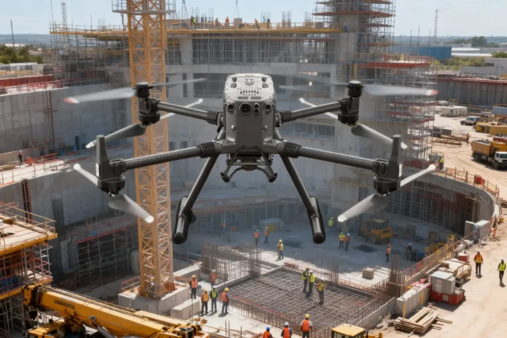
Highlight the Challenge in Project Monitoring Construction is a race against time, budgets, and safety risks. Projects involve thousands of moving parts, from contractors and materials to heavy machinery and schedules and keeping them aligned is one of the most difficult tasks in the industry. Progress monitoring is supposed to be the safeguard, yet in […]
 English