

















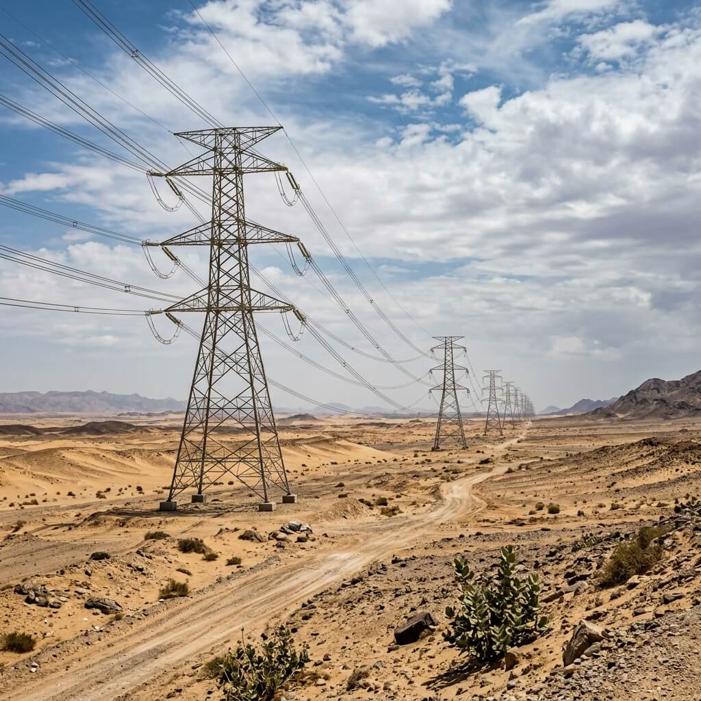
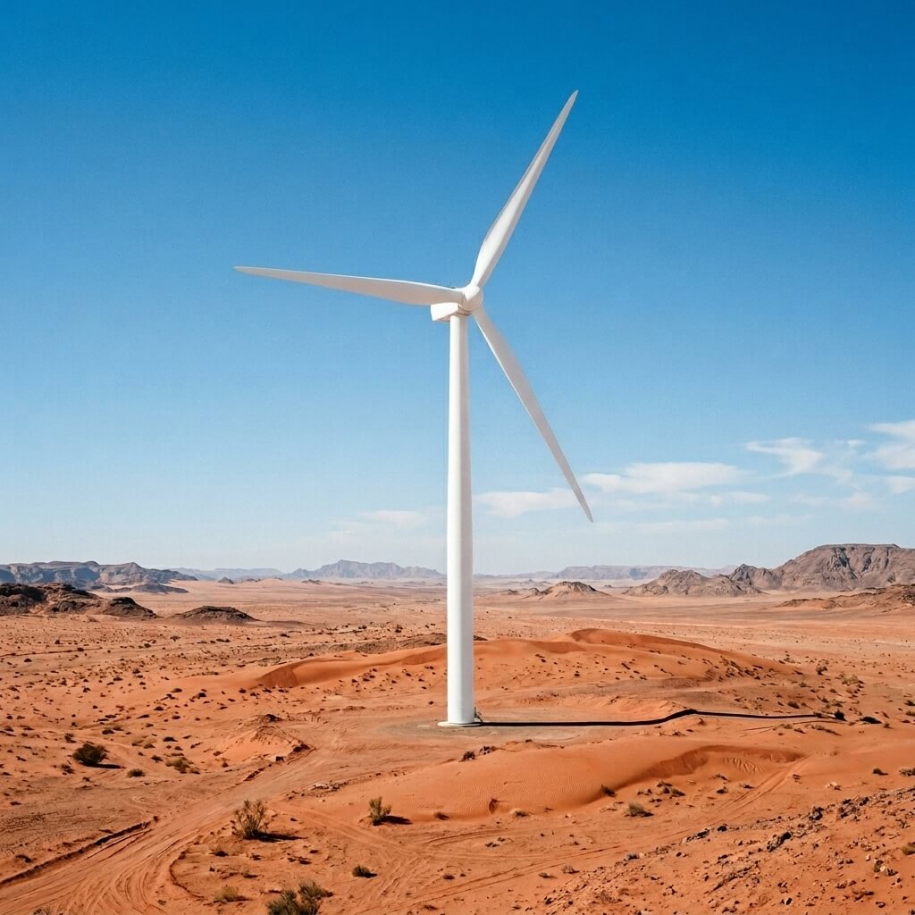



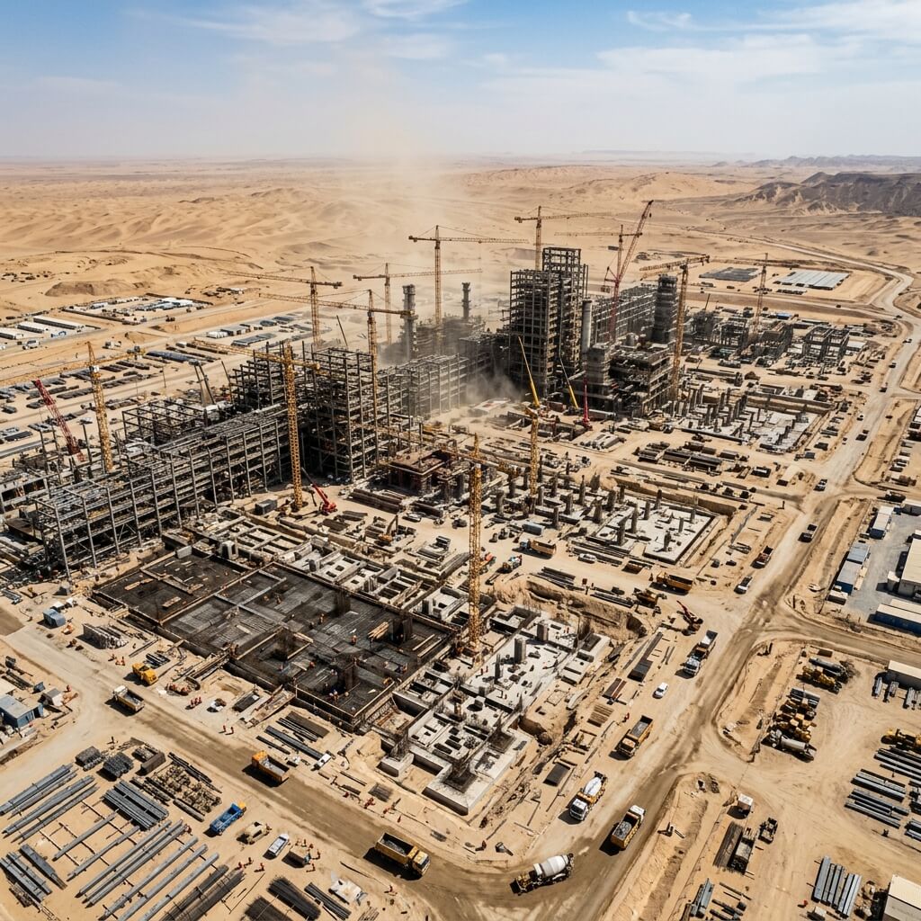





- المرافق وتوليد الطاقة
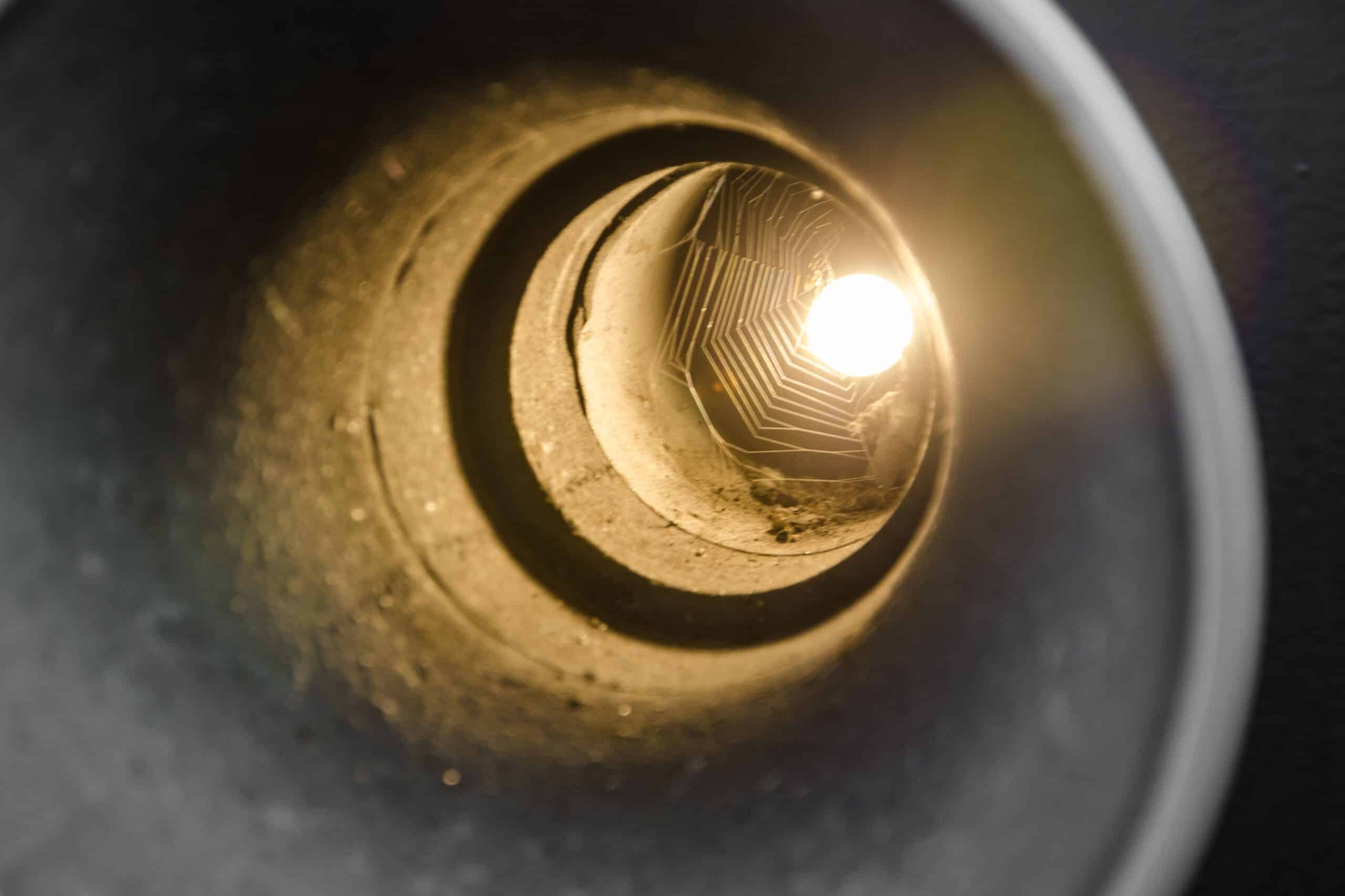
Robotic CCTV Pipeline Inspection for Underground Sewer Rehabilitation
Executive Summary Aging underground sewer networks require detailed internal condition assessments before major rehabilitation works can begin. Relying on manual inspections inside narrow, dark, and potentially toxic pipelines presents severe

 العربية
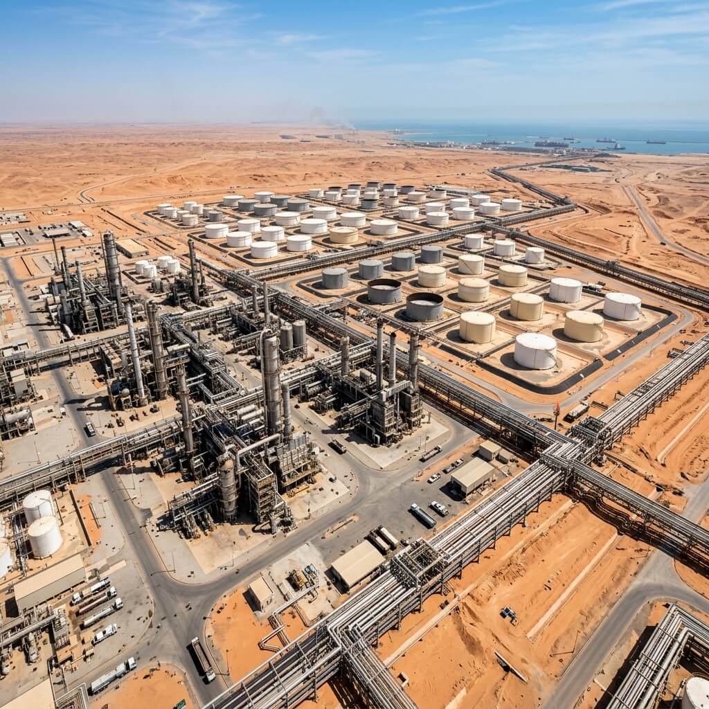
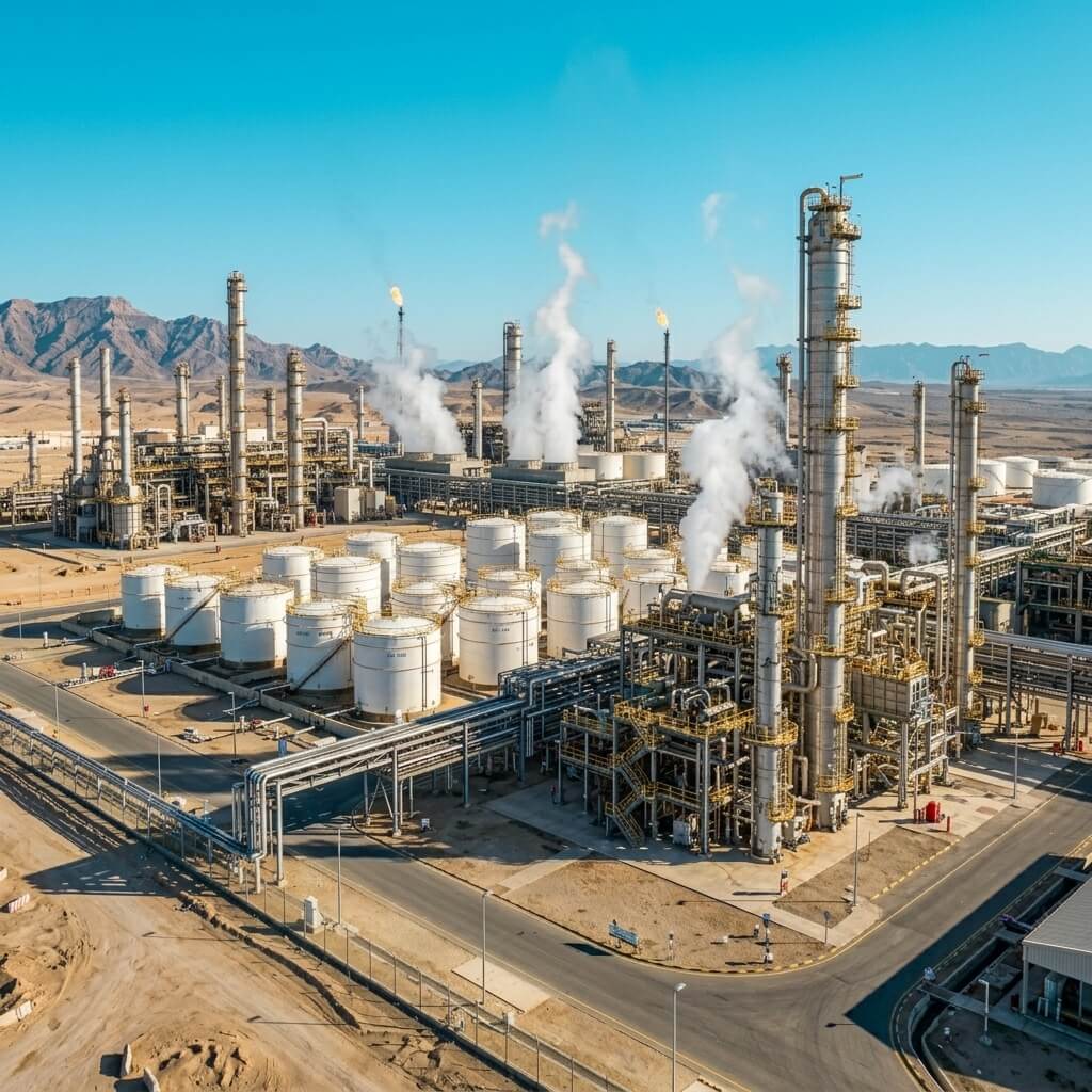
النفط والغاز
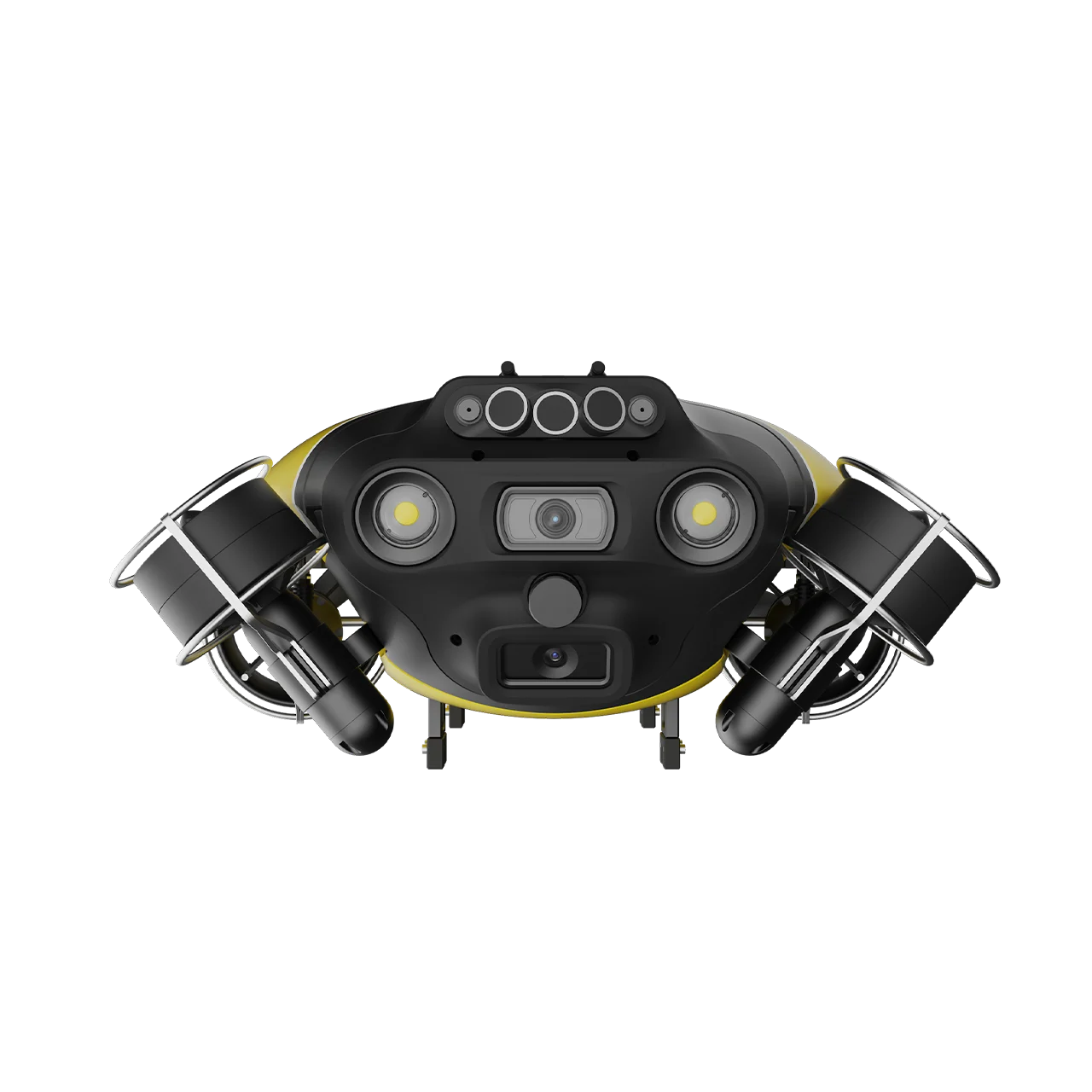
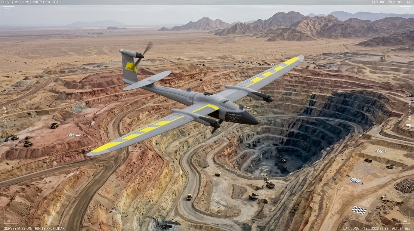
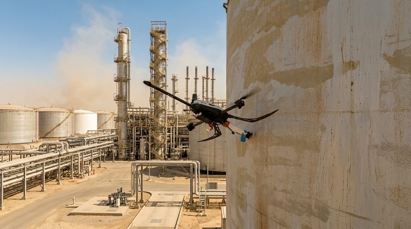
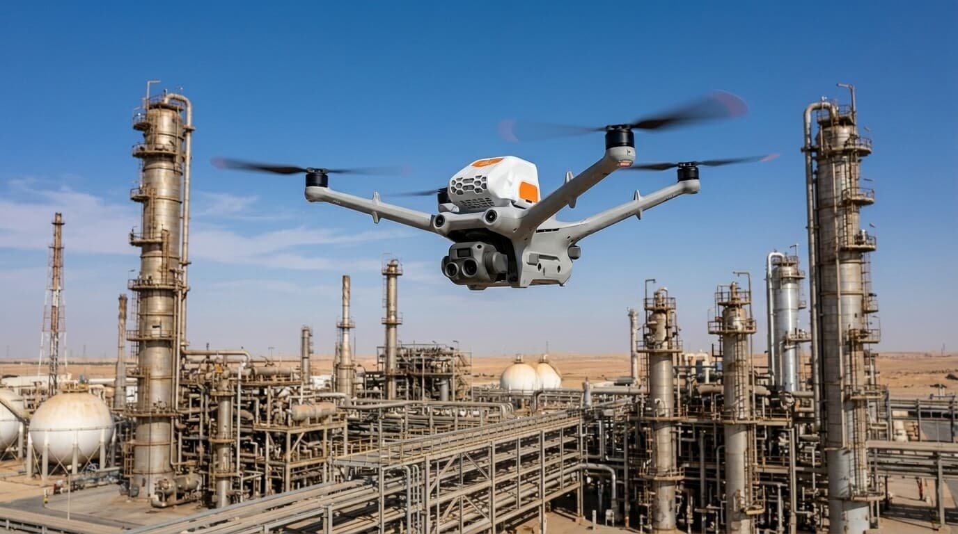
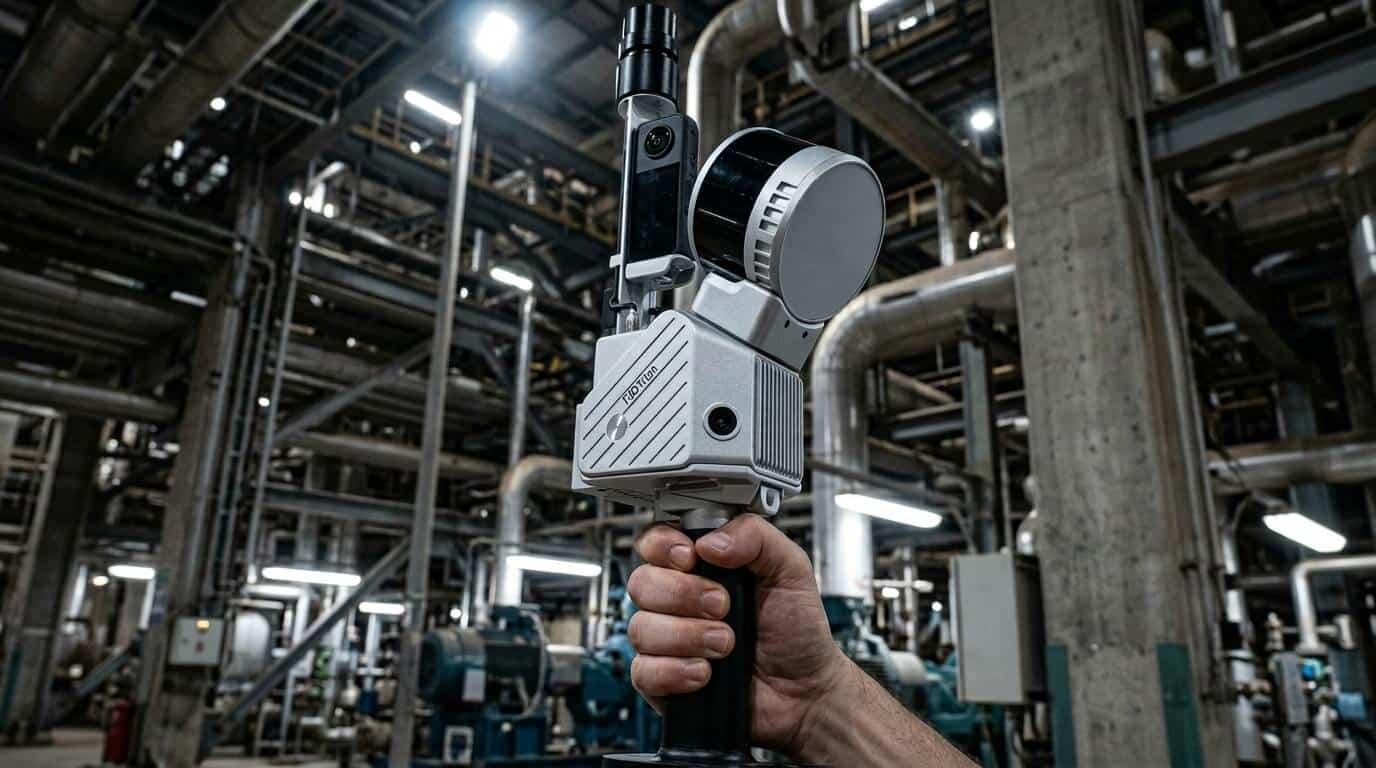
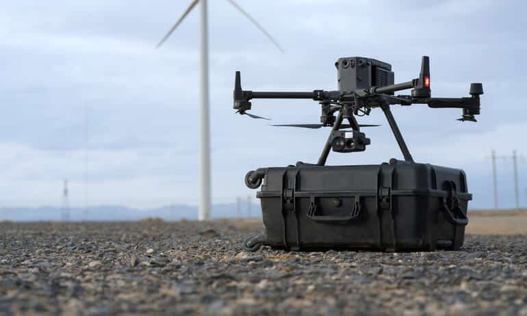
تعزيز كفاءة العمليات عبر فحص شعلات الغاز بالدرون، مراقبة الأنابيب، رصد انبعاثات الميثان، وفحص الأنابيب تحت الماء عبر غواصات ROV. ندمج مسح ليدار والتوائم الرقمية والتحليلات التنبؤية بالذكاء الاصطناعي لمساعدة قطاع الطاقة السعودي على تقليل التوقف والامتثال لمعايير ESG.