

Surveying Jeddah Industrial Drainage Networks Using Drone Topographic Surveys and LiDAR
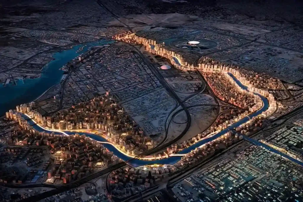
Expanding across low-lying coastal plains along the Red Sea, Jeddah 2nd and 3rd Industrial Cities managed by the Saudi Authority for Industrial Cities and Technology Zones (MODON), house essential manufacturing, chemical processing, and logistics facilities. The geographic positioning of these industrial zones exposes broad land parcels to periodic torrential rainfall and rapid surface water runoff […]
 العربية