


- Utilities & Power Generation
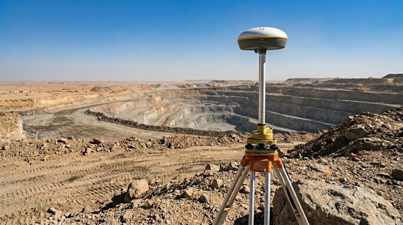
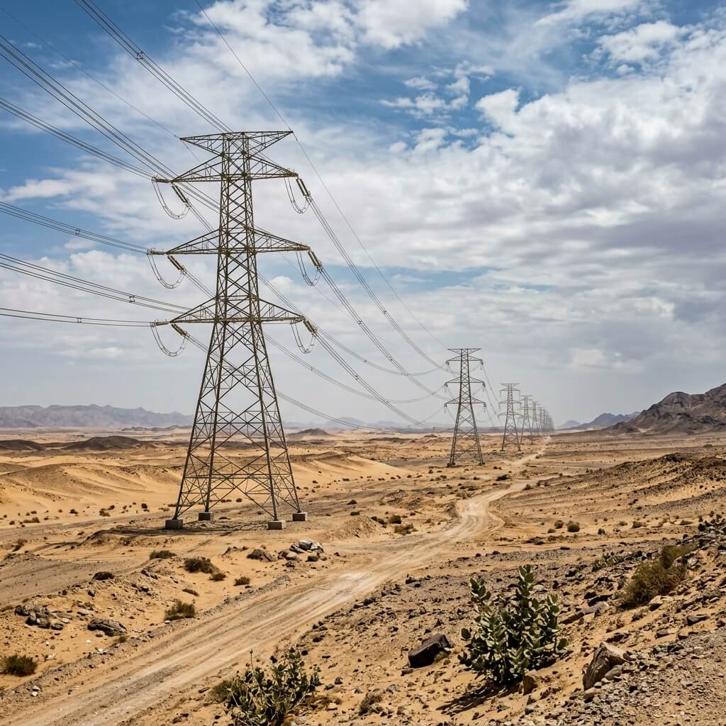
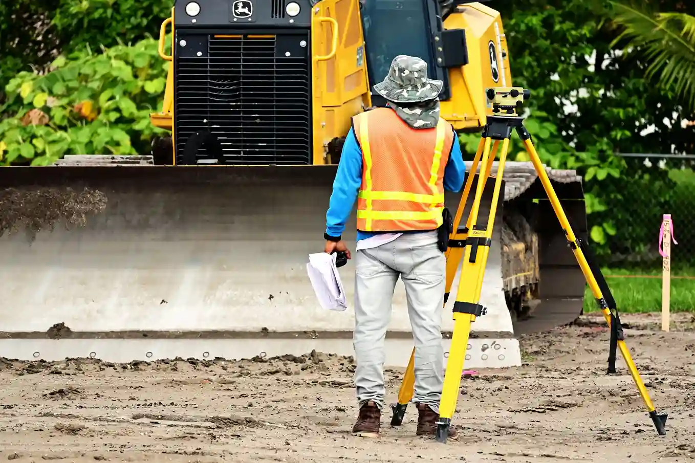
Mapping 400 Kilometers of High-Voltage Power Corridors with Precision DGPS
Executive Summary Constructing large-scale energy infrastructure requires exact geographic and topographical data before ground construction begins. A major energy contractor required a comprehensive route survey for a proposed high-voltage transmission


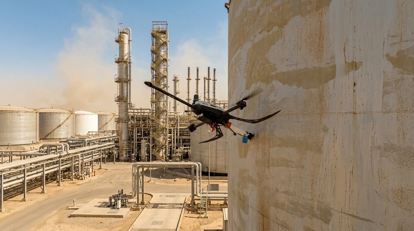
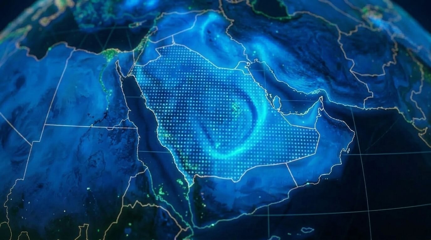
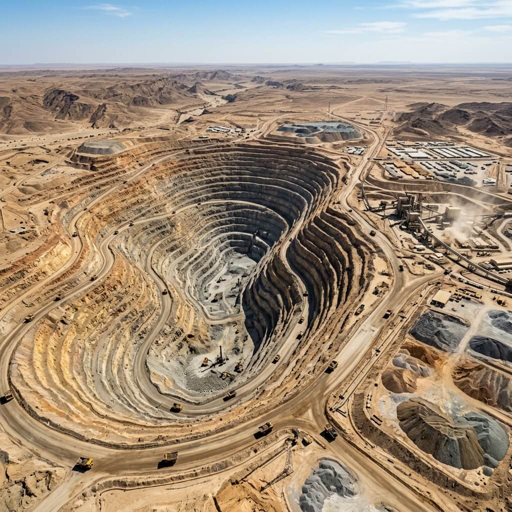
Oil & Gas
Powering safer, smarter operations with drone-based flare inspection, pipeline surveillance, methane emission monitoring, and underwater pipeline inspection via mission ROV. Combined with LiDAR mapping, digital twin modeling, and AI-driven predictive analytics to help Saudi Arabia's energy sector reduce downtime and achieve ESG compliance.