Underwater Biovidersity Inspection With QYSEA FIFISH V-EVO

Seafloor Mapping Protecting a coastal ecosystem requires a complete understanding of its underwater terrain. Before any conservation plans or low-impact tourist activities can begin around Laheq Island, environmental teams must map the layout, underwater trenches, and shallow slopes of the seabed. This structural map helps scientists understand exactly where marine habitats are located and how […]
BIM Integration in Qiddiya City’s Future Sports Medical Centre

Establishing complex healthcare facilities in hyper-arid desert landscapes requires an extreme level of spatial precision before any ground is broken. In April 2026, the official agreement between Qiddiya Investment Company (QIC) and King Faisal Specialist Hospital & Research Centre (KFSH&RC) was finalized to establish a new specialized sports medical center. Developing a world-class clinical facility […]
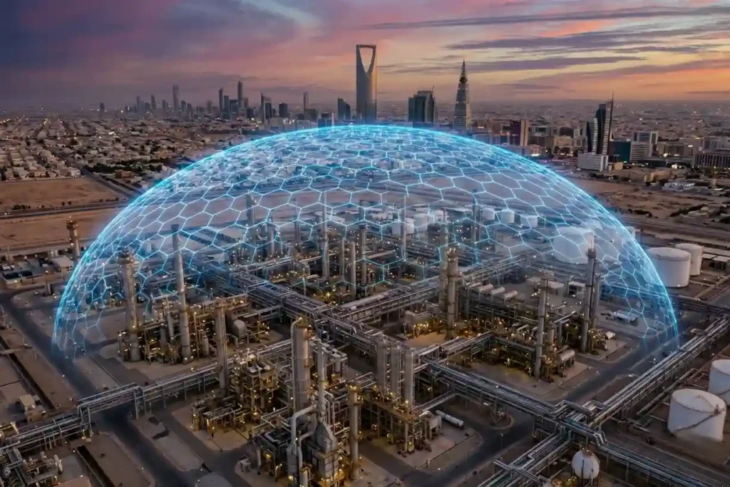
Climate-Resilient Infrastructure: Drone Thermal Mapping for Megaprojects
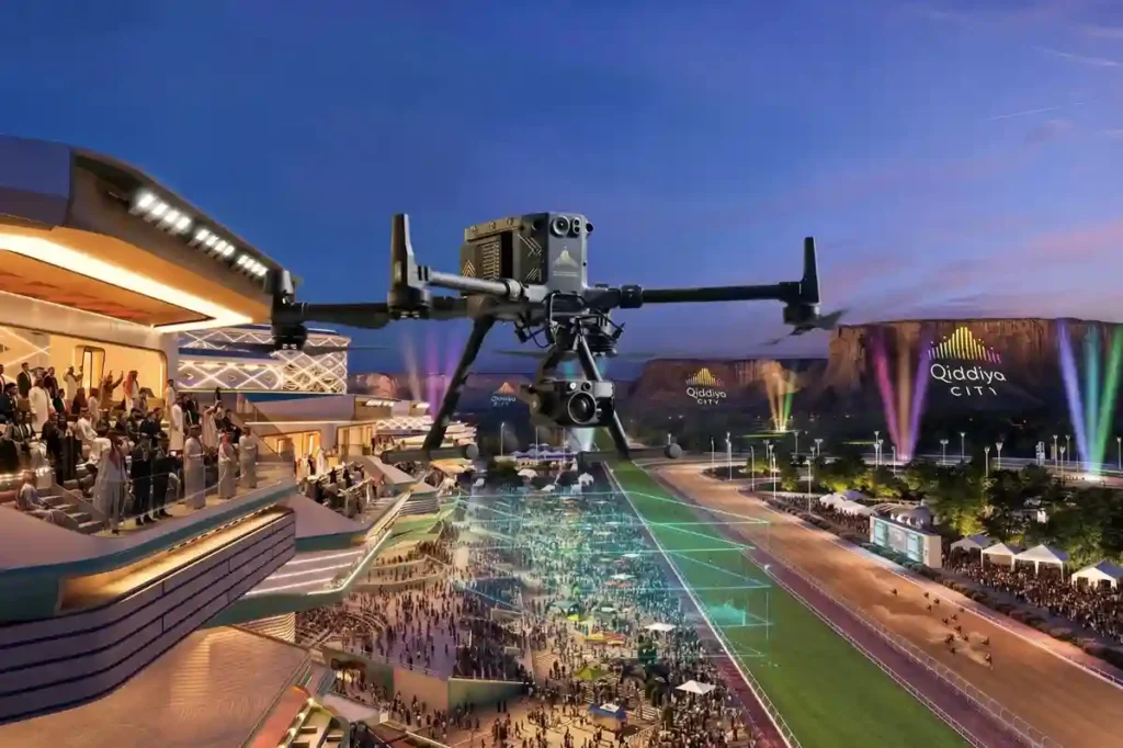
Establishing massive urban complexes in hyper-arid desert environments requires absolute spatial precision right from the start. The Qiddiya City master plan spans over 360 to 376 square kilometers, which will comprise multiple districts, including 43 separate sports facilities. Developing on this scale requires robust civil engineering frameworks to handle massive human populations. Once fully operational, […]
Crop Monitoring: How Drones Prevent Urban Trees Drought
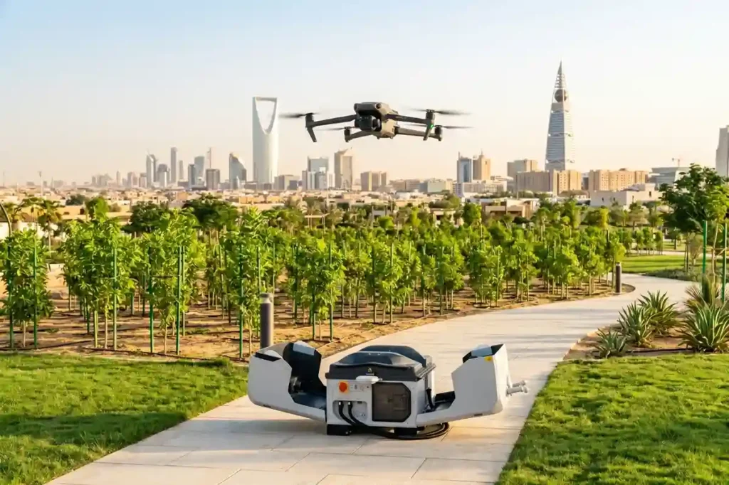
Riyadh’s extreme summer heat creates severe thermal stress, making massive urban forestry projects a critical challenge for local engineering teams. To combat this harsh climate baseline, the Green Riyadh initiative spans 545 square kilometers with a mandate to plant 7.5 million native, drought-resistant trees across the capital by 2030. According to environmental impact data, this […]
Using Multispectral Drones to Detect Water Stress in Desert Plants
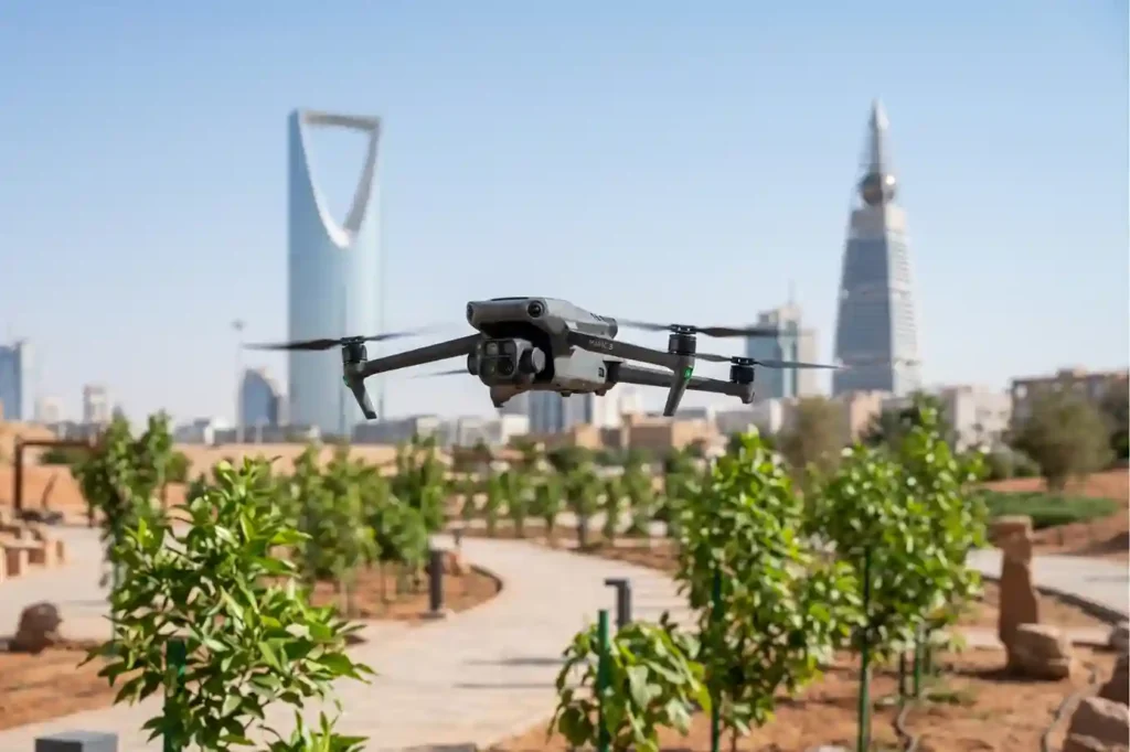
Riyadh’s extreme summer heat creates severe thermal stress, making massive urban forestry projects a critical challenge for local engineering teams. To combat this climate setback, the Green Riyadh initiative spans 545 square kilometers with a mandate to plant 7.5 million trees across the capital by 2030. According to environmental impact data, this intensive urban forestry […]
Habitat Mapping for Bird Migration: Protecting Safe Stops
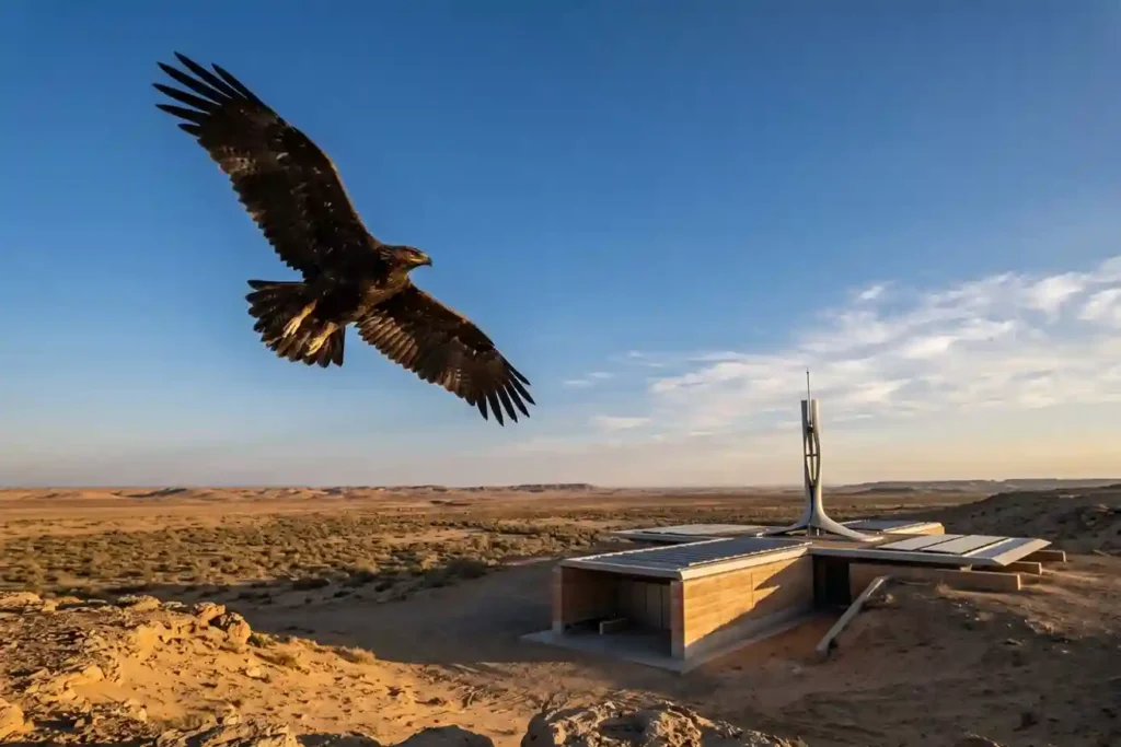
Every year, millions of birds cross continents to find better weather and food. As of May 2026, Saudi Arabia remains a vital safe haven on the African-Eurasian flyway, serving as a rest stop for these travelers. The Kingdom is home to over 500 bird species and hosts 14 out of the 15 species that are […]
Surveillance Unit For Smart Cities: Saving Lives in 90 Seconds
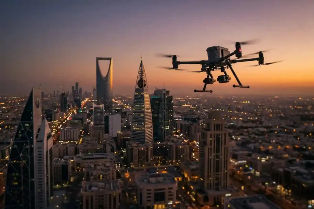
The “7-minute gap” is a major problem for emergency services in modern smart cities. While ground teams try to reach an emergency in 7 minutes, rising traffic and massive construction projects in cities like Riyadh and Jeddah make this almost impossible. The need for better monitoring is a global trend. Recently, the Sindh police in […]
GACA Drone Regulations: The 2026 Permit Guide
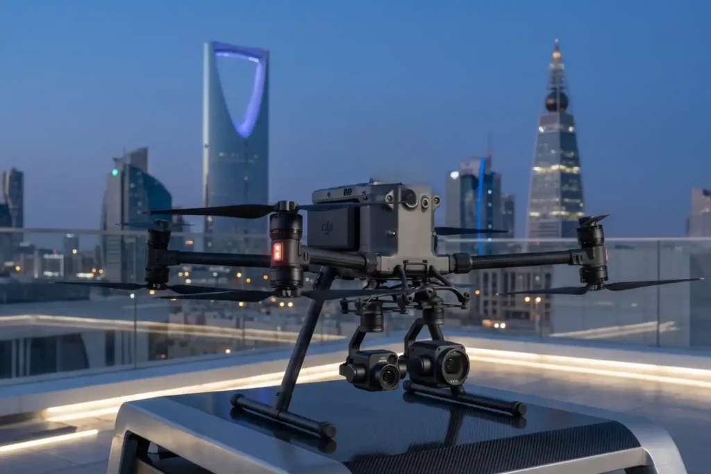
In 2026, Saudi Arabia’s drone industry is a core part of the Kingdom’s digital transformation and Vision 2030 goals. Operating a drone professionally requires more than just a controller; it requires a multi-step legal framework. Following GACA regulations ensures that your business objectives are recognized as part of a safe and integrated airspace. This guide […]
Shahed-136: Affordable Protection for Strategic Sites
The modern battlefield is undergoing a rapid and permanent transformation. The Shahed-136 has transitioned from a niche experimental tool into what experts call a “single reliable weapon” for asymmetric warfare. These slow-moving loitering munitions are designed for one purpose: to strike deep into enemy territory with high precision. They have moved the front lines away […]
Real-Time Traffic Management With Drones to End Road Jams
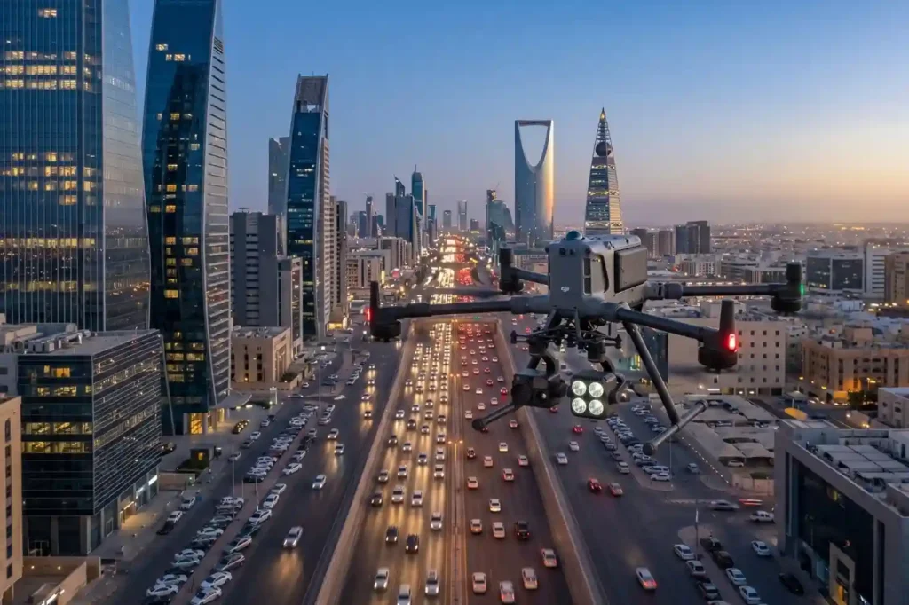
In rapidly growing cities like Riyadh and Jeddah, traffic congestion is more than a simple daily annoyance. It represents a significant drag on economic productivity and a hurdle to improving the general quality of life. The primary issue with current infrastructure is that most traffic lights operate on static, fixed timers. These systems are unable […]
