Traditional surveying often stops where the mountains begin. In regions like Al Namas, the terrain is defined by steep slopes, deep valleys, and unpredictable ridges that make ground-based mapping both dangerous and time-consuming. For any road construction project, an error of a few centimeters in elevation can lead to massive delays or safety risks.
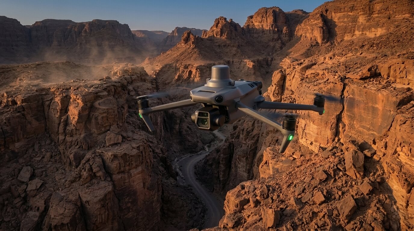
This is where drone surveying becomes essential. By taking the survey into the sky, engineers can capture high-resolution data across a 13.78 km stretch of road that would otherwise be nearly inaccessible.
Precision Engineering in High Altitudes
To deliver results that are accurate enough for complex road design, the methodology relies on a combination of aerial agility and ground-truth physics. Drone surveying in these environments uses RTK (Real-Time Kinematic) technology, which allows the aircraft to receive live corrections to its flight path for sub-centimeter positioning.
The technical process is built on several key steps:
- Meticulous Planning: Every mission starts with identifying obstacles and setting flight altitudes to ensure complete coverage of the mountainous terrain.
- The Foundation of Ground Control: High-precision GPS equipment, such as the Trimble R12, is used to set permanent and temporary benchmarks on the ground.
- Sub-Centimeter Accuracy: These ground points anchor the drone’s aerial photos to exact geographical coordinates, ensuring the final maps align perfectly with the real world.
- Rapid Data Capture: A single team can complete the entire survey in just 6 to 8 flights within one day, capturing thousands of images with a ground resolution of 5 cm/pixel.
Transforming Aerial Photos into Actionable Intelligence
The true power of drone surveying is revealed during the data processing phase, where simple images are transformed into a digital twin of the landscape.
- 3D Terrain Modeling: Advanced software stitches thousands of images together to create a textured 3D mesh for virtual site inspections and design simulations.
- Digital Terrain Models (DTM): For road engineering, the system can digitally remove trees and vegetation to show the bare earth surface, which is vital for calculating soil movement.
- Critical Slope Analysis: The survey provides a detailed look at elevation profiles and slopes to help engineers identify areas that might be prone to landslides or erosion.
- High-Quality Maps: The final deliverables include orthophoto mosaics, which are corrected aerial images that serve as a perfectly scaled base map for planning.
Secure Your Project with Proven Geospatial Solutions
Infrastructure success in challenging landscapes depends on having the most accurate data possible before the first shovel hits the ground. We combine global experience with local expertise to provide drone surveying that meets the highest technical standards.
Whether you are analyzing a steep mountain pass or a simple roadway, our team delivers the precision required to keep your project on schedule and on budget.
Let’s discuss your next topography project and see how our advanced drone solutions can streamline your planning process.
Based on the technical methodology and the mountainous nature of the topography project, here are three visual suggestions to enhance your article. These focus on the high-precision nature of drone surveying and the detailed geospatial outputs.

