

Heritage Preservation Using 3D Digital Twin Technology and Aerial LiDAR Survey
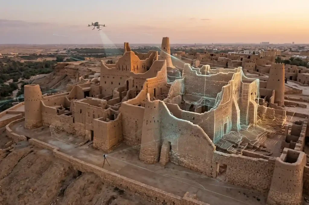
Ancient mudbrick towers, coral-stone structures, masonry arches, and historic timber frames face continuous environmental threats. Solar radiation, wind-blown sand erosion, thermal expansion cycles, underground moisture migration, and surrounding urban development weaken the structural foundations of cultural heritage landmarks over time. Unmonitored structural deterioration leads to irreversible material loss, wall displacement, roof collapse, and the destruction […]
Building an Operational Digital Twin Using Multi-Modal Reality Capture Across City Infrastructure

Royal commissions, municipal authorities, and giga-project developers manage vast, highly interconnected urban ecosystems. Historically, municipal asset records develop independently across departments, where surface transportation maps, building design drawings, underground utility schematics, and marine port surveys reside in separate databases. This structural disconnect creates operational blind spots, delays engineering reviews, and leads to costly project redesigns […]
Subsea Corrosion Inspection and Asset Integrity for Coastal Industrial Ports
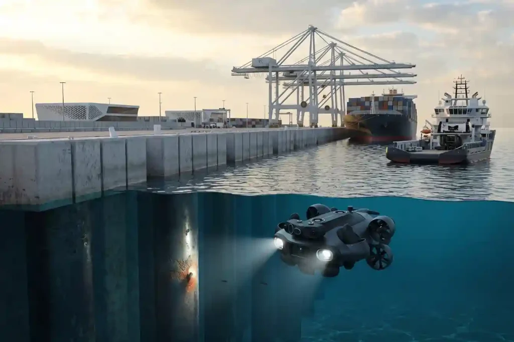
Coastal industrial ports, commercial container terminals, naval bases, and seawater intake facilities operate in highly aggressive marine environments. Submerged waterfront infrastructure, including steel sheet piling, concrete quay wall foundations, jetty trestles, bridge piers, and seawater discharge outfalls, is subject to continuous electrochemical, physical, and biological degradation. Saltwater immersion creates high electrolyte conductivity that drives rapid […]
Deploying CCTV Robotics for Subsurface Drainage and Sewer Inspection
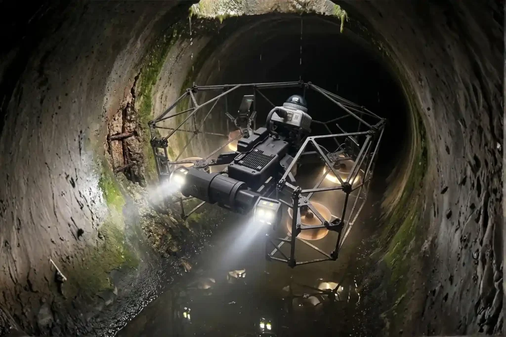
Urban expansion and heavy municipal utility demands place continuous stress on underground gravity sewer networks and stormwater drainage channels. Over decades of operation, underground concrete and clay pipes experience structural cracking, joint displacement, chemical erosion from hydrogen sulfide gas, root intrusion, and heavy sediment accumulation. Left unaddressed, these subsurface pipe defects lead to sewage exfiltration, […]
Drone Inspection and Underwater ROV Solution for Port Infrastructure at King Abdullah Port
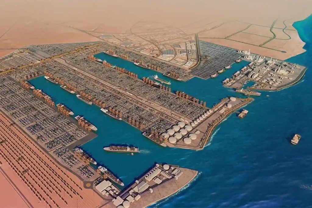
King Abdullah Port, located within King Abdullah Economic City (KAEC) along the Red Sea coast, serves as a major deep-water logistics hub in Saudi Arabia. Handling over 2 million TEUs annually, the port operates extensive deep-water berths, container terminals, bulk facilities, and roll-on/roll-off (RoPax) terminals. Maintaining structural integrity across these large-scale marine assets is critical […]
Autonomous Drone Patrol and City Surveillance Solutions for Sudair Industrial City
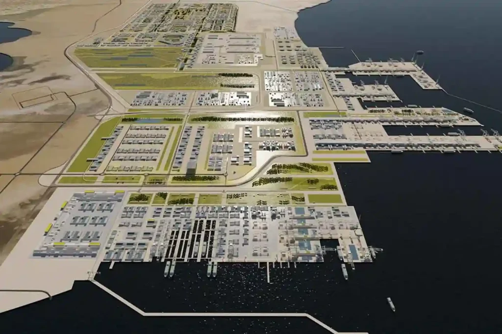
Developing the King Salman International Complex for Maritime Industries and Services in Ras Al-Khair, spanning 4.96 square kilometers with 3 dry docks, 15 piers, and dedicated rig fabrication yards, requires continuous structural monitoring across commercial vessel construction and offshore jack-up rig assembly. As commercial shipbuilding scales up, industrial data published by Market Growth Reports shows […]
Zero-Shutdown NDT Inspection for Petrochemical Asset Integrity in Yanbu
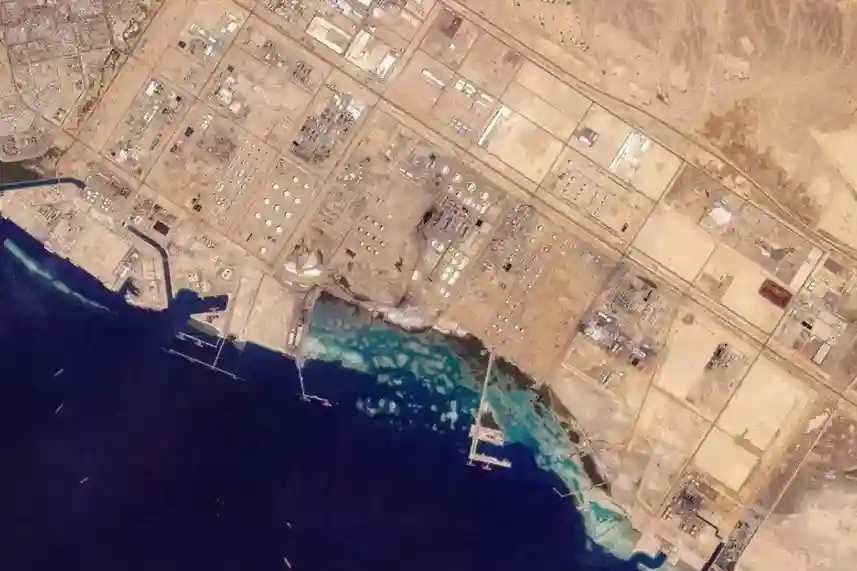
Expanding refining and petrochemical downstream complexes across Yanbu Industrial City, including major operating facilities like YASREF, SAMREF, NATPET, and Luberef requires continuous asset integrity audits across live high-pressure vessels, distillation columns, storage tanks, and interconnecting pipe racks. Positioned on the Red Sea as a critical global refining hub, Yanbu is accelerating downstream liquids-to-chemicals integration and […]
Streamlining Petrochemical EPC Construction Progress and Asset Integrity with Drones
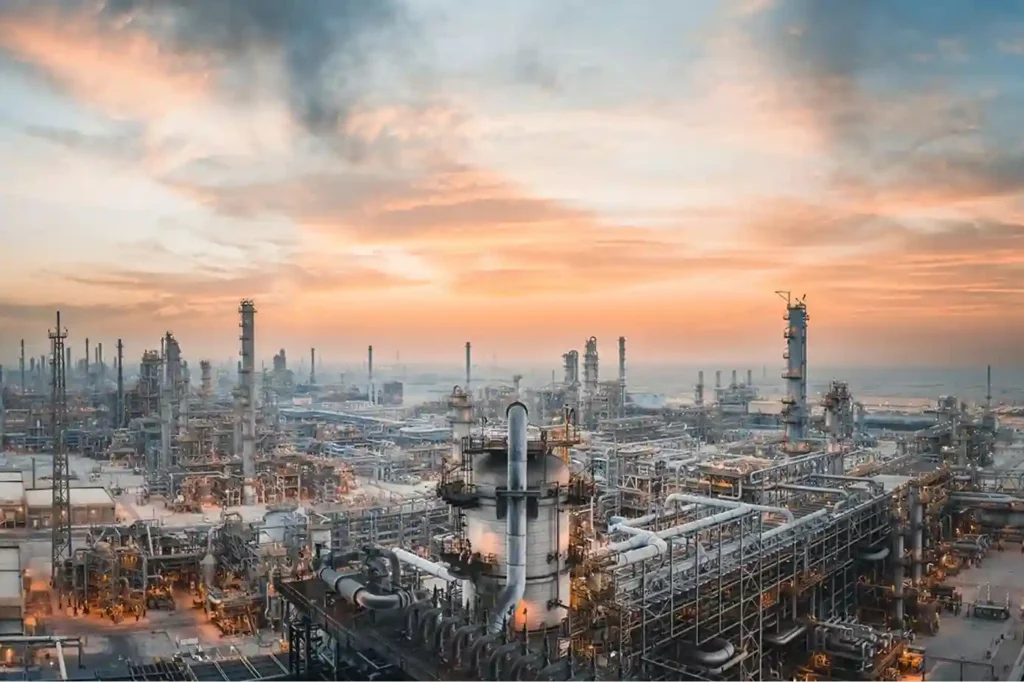
Industrial expansion across Saudi Arabia exemplified by the SAR 41.25 billion Amiral Petrochemical Complex integrated into the SATORP refinery in Jubail Industrial City requires rigorous oversight during engineering, procurement, and construction (EPC) execution. Spanning 4.3 square kilometers, the complex houses a 1.65 million tonnes/year mixed-feed steam cracker, dual polyethylene lines, and associated derivative units. Managing […]
Drone Thermal Inspection for Dewatering and Leak Detection on ROSHN’s MARAFY Canal
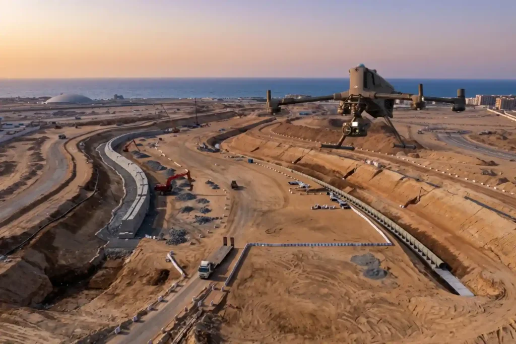
ROSHN Group’s landmark MARAFY development encompasses over 9.4 million square meters of connected waterside districts in northern Jeddah. The central feature of this master plan is Saudi Arabia’s first navigable urban water channel, extending 11 kilometers in length and over 100 meters in width to connect Obhur Creek inland. Civil engineering teams have made rapid […]
Precision Geospatial Inspection: Safeguarding Green Riyadh’s Water Infrastructure with Aerial Leak Detection
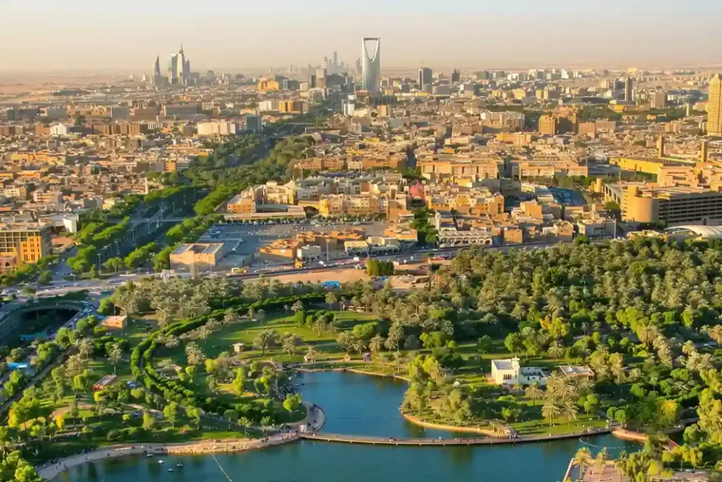
Urban modernization inside arid climates requires robust resource management to sustain newly built environmental projects. Under the economic development mandates of Saudi Vision 2030, the Green Riyadh initiative represents a major municipal effort to transform the desert capital into an ecologically balanced urban space. A primary focus of this initiative is the construction of three […]
 العربية