Drones in Mining: The New Industry Standard in Its Practice

Drones in mining is taking the industry to new heights, providing a transformative way to tackle challenges across the entire mining lifecycle. From exploration to closure, this cutting-edge technology is enabling unprecedented efficiency, safety, and accuracy. As the global mining industry faces increasing demands for sustainability, innovation, and operational excellence, drones are rapidly becoming the […]
Predictive Modeling in Urban Planning: Urban Growth and Infrastructure Needs

Predictive modeling in urban planning is revolutionizing how cities grow and adapt to changing needs. As urban areas face rapid population growth, resource constraints, and environmental challenges, the demand for data-driven solutions has never been higher. Predictive modeling empowers planners to anticipate urban expansion, allocate resources effectively, and evaluate the impact of their decisions with […]
AI in Mining: Is It Transforming How We Extract Resources?

AI in mining is revolutionizing the industry by enhancing exploration, improving operational efficiency, and supporting environmental sustainability. Traditionally, mining relied on manual processes and physical surveys that were costly, time-consuming, and prone to errors. Today, advanced technologies such as artificial intelligence (AI) and satellite imagery are reshaping how companies explore resources, monitor operations, and manage […]
Agriculture With Satellite Imagery: A Modern Precision

Agriculture with satellite imagery is transforming how farmers manage resources and improve yields. By leveraging advanced satellite data, farmers gain a bird’s-eye view of their fields, enabling them to monitor soil health, optimize crop growth, and make data-driven decisions. This technology enhances productivity and addresses the growing demand for sustainable farming practices. Key Benefits of […]
Terra Drone Arabia Showcases Advanced Drone and Satellite Technologies at Cityscape Global 2024
Enhancing Construction, Infrastructure, and Real Estate Development with Cutting-Edge Aerial and Remote Sensing Solutions Riyadh, Saudi Arabia — December 9, 2024 — Terra Drone Arabia, a leader in drone and satellite (remote sensing) technologies, participated in Cityscape Global 2024, held from November 11 to 14 at the Exhibition and Convention Center in Malham, Riyadh. The […]
Satellite Imagery in Agriculture Replanting How We Plant

Satellite imagery in agriculture revolutionizes how farmers address today’s challenges while meeting the growing demand for food security and sustainability. Agriculture, one of the oldest and largest industries in history, remains the backbone of global populations and economies. Yet, despite its importance, many regions still rely on traditional practices with low adoption of modern technologies. […]
Enhancing Grid Stability with Drone Technology

Precision Monitoring with UAVs Drone grid stability is increasingly vital as energy companies deploy these aerial devices to ensure that their infrastructure operates reliably and efficiently. Drones have become crucial in maintaining the stability of electrical grids, offering an aerial advantage that ground-based inspections cannot match. As drone technology continues to advance, its implementation is […]
The Integration of Drones and Building Information Modeling (BIM)

In the rapidly evolving world of construction technology, the integration of drones and Building Information Modeling (BIM) stands out as a pioneering advancement. This powerful combination enhances architectural planning, structural engineering, and project management, revolutionizing how projects are approached, managed, and executed. By marrying aerial insights with detailed 3D modeling, the construction industry is achieving […]
The Transformative Power of Drone Services in Saudi Arabia
In recent years, Saudi Arabia has emerged as a dynamic frontier in the rapidly evolving drone service landscape. This transformation is a testament to technological advancement and a reflection of the Kingdom’s vision to diversify and modernize its economy. At the heart of this aerial revolution stands Terra Drone Arabia, a company committed to delivering […]
Drone Services: Why It Is A Smart Business Opt
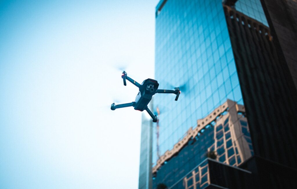
The High-flying Advantages of Opting for Drone Services In today’s competitive business landscape, efficiency, cost-effectiveness, and innovation are key. Drone services offer these benefits and more, making them a strategic choice for businesses across various industries. Let’s take a journey to explore why hiring UAV services could be a game-changing decision for your company. […]
 English