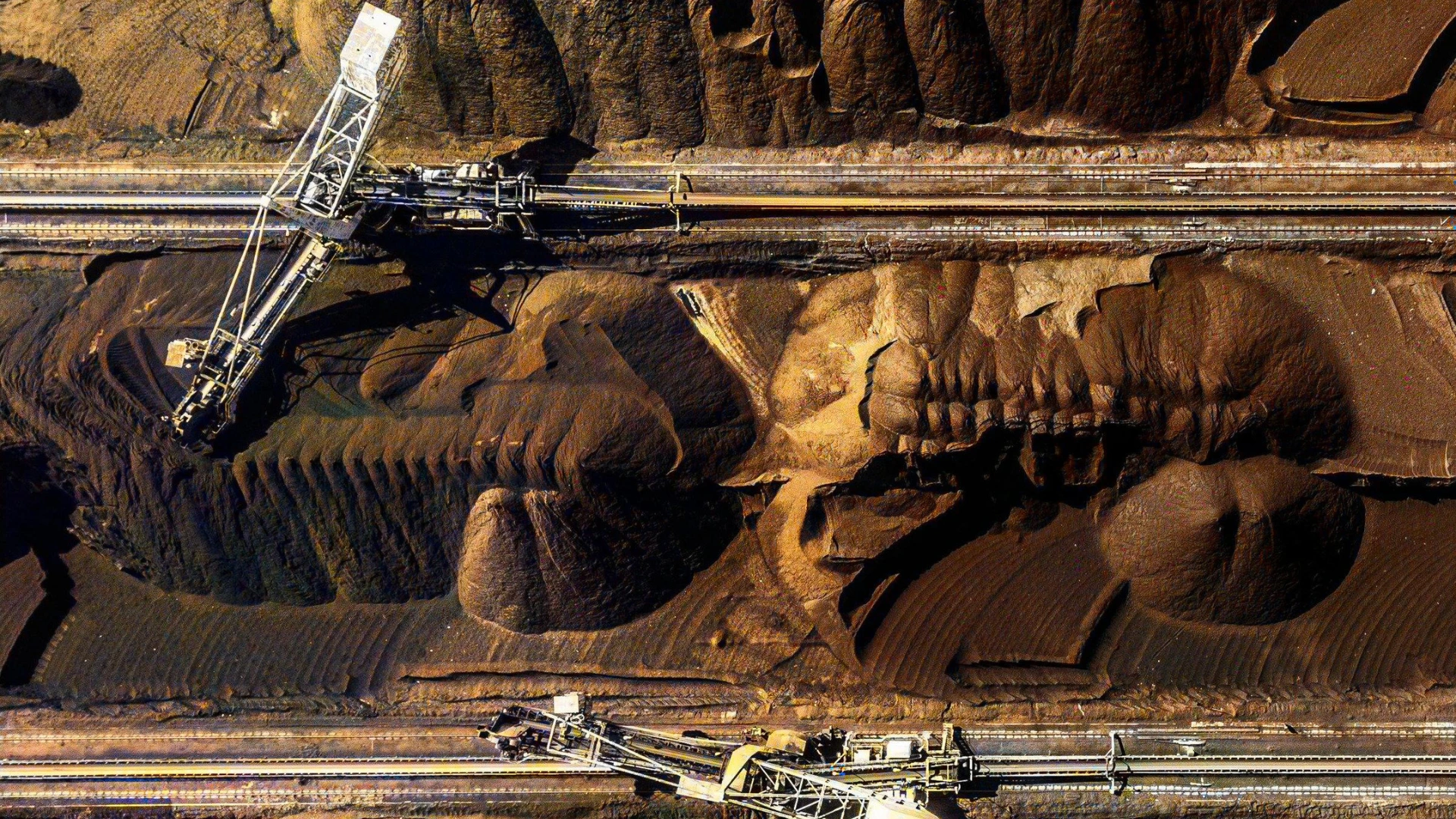
AI in mining is revolutionizing the industry by enhancing exploration, improving operational efficiency, and supporting environmental sustainability. Traditionally, mining relied on manual processes and physical surveys that were costly, time-consuming, and prone to errors. Today, advanced technologies such as artificial intelligence (AI) and satellite imagery are reshaping how companies explore resources, monitor operations, and manage their environmental impact. This integration unlocks smarter, faster, and more accurate decision-making across every phase of mining.
The Role of Satellite Imagery in Mining
Satellite data has been pivotal in modern mining operations, offering large-scale visibility across challenging terrains. Using high-resolution imagery, mining companies can map vast mineral-rich regions, monitor land-use changes, and identify risks early. However, while satellites provide broad overviews, analyzing this data requires advanced tools like AI to extract actionable insights.
By integrating AI, companies can transform raw satellite data into detailed predictions, allowing them to locate mineral deposits, assess operational health, and track environmental changes effectively.
How AI Enhances Satellite Data Analysis

The power of AI in mining lies in its ability to process and analyze extensive satellite datasets with exceptional speed and accuracy, revolutionizing how mining operations are conducted. For instance, AI algorithms can detect anomalies and patterns in satellite imagery, pinpointing mineral-rich areas by leveraging multispectral and hyperspectral data. By analyzing this information alongside geological surveys, machine learning models significantly reduce exploration time and costs, making mineral identification far more efficient.
In addition to this, predictive modeling further enhances resource exploration. AI learns from historical exploration data and integrates it with current imagery to predict the location of mineral deposits. For example, machine learning models analyze patterns from previously mined sites to estimate where resources are concentrated in unexplored regions. This predictive capability helps mining companies focus their efforts on high-potential areas, optimizing time and resources.
Moreover, AI plays a critical role in delivering valuable environmental insights. It automatically detects risks such as vegetation loss, soil erosion, and acid mine drainage, which are often invisible to the naked eye. By identifying these environmental concerns early, mining companies can take proactive measures to mitigate damage and ensure compliance with environmental regulations. This combination of efficiency, precision, and sustainability demonstrates how AI is transforming the mining industry for the better.
Real-Time Monitoring for Environmental Management
Mining operations significantly impact the environment, making real-time monitoring essential for ensuring sustainable practices. By combining AI with satellite imagery, companies gain a continuous and detailed view of their sites, enabling smarter and more proactive decision-making. For instance, AI analyzes satellite images to detect land degradation by identifying areas experiencing rapid soil erosion or vegetation loss. This insight helps companies take immediate steps to mitigate further damage.
In addition to detecting degradation, AI pinpoints pollution sources such as tailing dams or zones with acid drainage. By identifying these pollution hotspots early, mining companies can address environmental issues promptly, reducing long-term harm. Furthermore, AI-driven insights play a crucial role in supporting reclamation efforts. Once mining operations end, satellite imagery combined with AI helps monitor land recovery progress by assessing the success of revegetation and restoration projects.
Through these advanced capabilities, AI ensures that mining operations align with sustainability goals while adhering to strict environmental regulations. This integration of technology not only minimizes environmental impact but also promotes accountability and long-term ecological health.
Combining AI, Drones, and Satellite Imagery

While satellite imagery provides a macro-level view, drone technology complements it with localized, high-resolution visuals. Together, AI processes data from both sources to deliver comprehensive insights. For example:
- Site Safety Monitoring: Satellites detect large-scale safety risks such as land instability. Drones then capture close-up imagery for detailed assessments, enabling managers to act quickly.
- Resource Management: Satellites map broad regions, while drones verify findings by providing high-precision data. AI then analyzes both datasets to optimize resource planning and extraction.
- Infrastructure Assessment: Drones monitor roads, processing plants, and waste facilities for structural issues, while satellites provide a broader layout. AI combines these inputs to improve infrastructure management.
AI’s capabilities are revolutionizing how mining operations function, paving the way for smarter, more efficient practices. Discover how AI is transforming the mining sector.
Practical Benefits for Stakeholders
AI in mining delivers transformative benefits across the sector by addressing the needs of various stakeholders. For mining companies, AI enhances exploration accuracy, reduces operational costs, and improves decision-making processes, enabling smarter resource allocation and faster project execution.
For governments, AI-driven insights provide accurate environmental monitoring, ensuring compliance with regulations and supporting data-driven policymaking. This helps authorities strike a balance between economic development and environmental conservation.
Meanwhile, local communities benefit from reduced environmental impact and increased transparency. By promoting sustainable mining practices, AI fosters trust and minimizes disruptions to ecosystems and livelihoods.
Together, these benefits create a more efficient, responsible, and future-ready mining industry that prioritizes innovation, sustainability, and collaboration.
In A Nutshell
The integration of AI in mining with satellite imagery and drone technology is transforming the way resources are explored, monitored, and managed. From detecting mineral deposits to improving environmental monitoring, AI-powered solutions drive efficiency and sustainability. By adopting these advanced tools, mining companies can achieve smarter decision-making, reduce operational costs, and align with global sustainability goals. The future of mining lies in leveraging AI and satellite technologies to unlock new possibilities while ensuring responsible practices.

