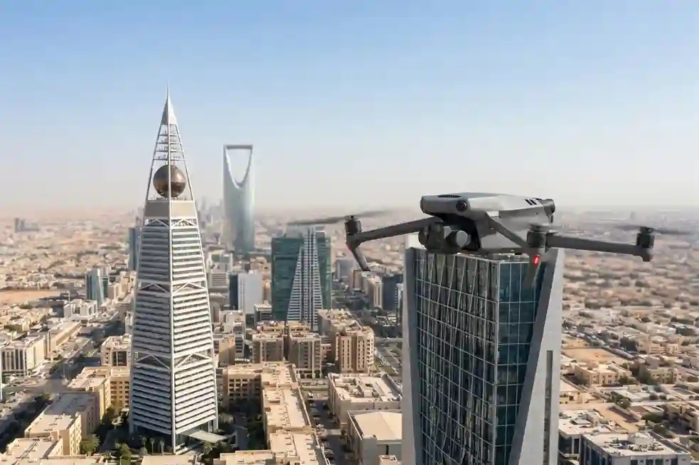
The Role of Drones in High-Rise Facade Inspections
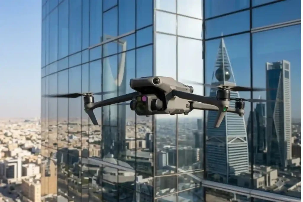
Traditional facade inspections are often stuck in the past. Facility managers usually rely on heavy scaffolding or rope-access teams to check for building damage. This manual approach is slow and carries high operational costs. It often delays critical repairs that are needed to protect the building’s structural health. While we previously explored how thermal imaging […]
How Thermal Imaging Drones Cut Electricity Expenses
In Saudi Arabia’s extreme climate, keeping buildings cool is a constant struggle. Air conditioning is not just a comfort, it is a necessity that accounts for nearly 70% of total electricity consumption in the residential sector. When looking at the broader picture, the building sector is responsible for approximately 30% of the Kingdom’s total primary […]
Habitat Mapping for Bird Migration: Protecting Safe Stops
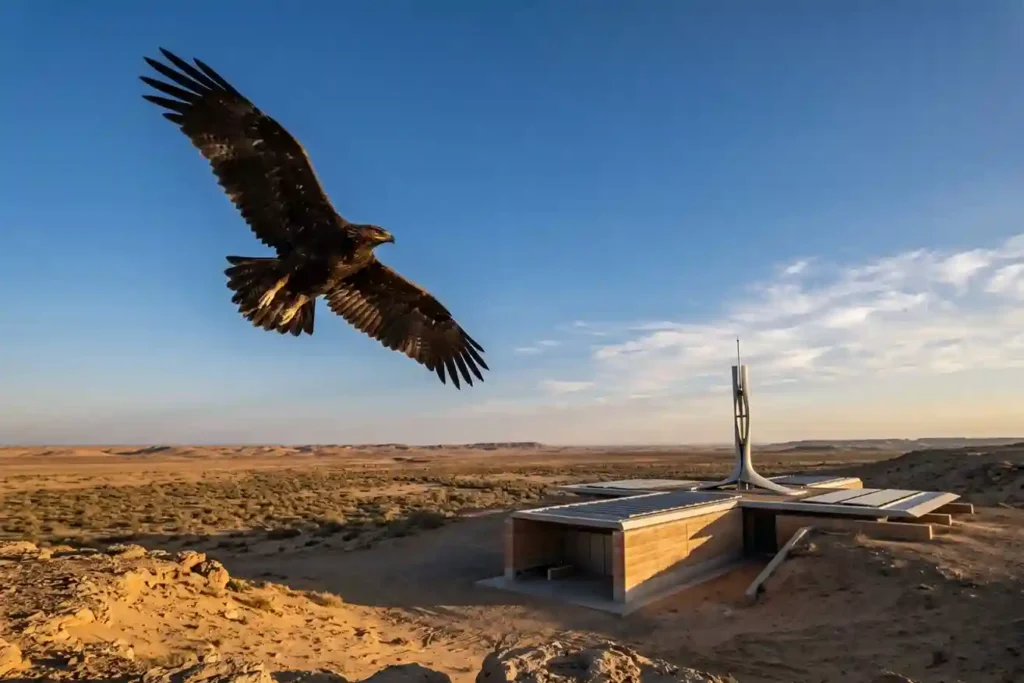
Every year, millions of birds cross continents to find better weather and food. As of May 2026, Saudi Arabia remains a vital safe haven on the African-Eurasian flyway, serving as a rest stop for these travelers. The Kingdom is home to over 500 bird species and hosts 14 out of the 15 species that are […]
GACA Drone Regulations: The 2026 Permit Guide
In 2026, Saudi Arabia’s drone industry is a core part of the Kingdom’s digital transformation and Vision 2030 goals. Operating a drone professionally requires more than just a controller; it requires a multi-step legal framework. Following GACA regulations ensures that your business objectives are recognized as part of a safe and integrated airspace. This guide […]
How DJI Dock 3 Cuts Solar Inspection Costs
Managing large energy sites often requires massive manual effort and high operational costs. A standard 100MW solar farm covers roughly 3.4 square kilometers and contains over 900,000 panels. Inspecting such a vast area manually can take a ground crew more than one full month to complete. A conventional ground crew of four to six people […]
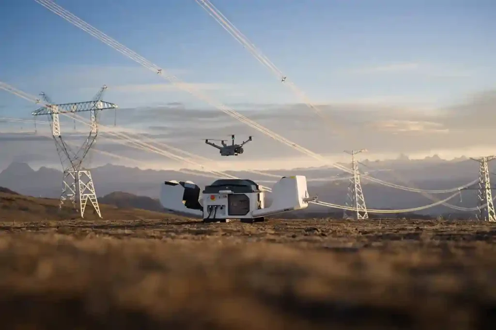
Why Drones Are Faster Than Traditional Mapping for Large Sites
Mapping large, rugged areas of land like those in Makkah has traditionally been a slow and labor-intensive process. When dealing with several square kilometers of uneven terrain, manual ground teams often spend weeks or even months walking the site to collect enough data points. In the recent project taking place in Makkah, the goal was […]
Real-Time Traffic Management With Drones to End Road Jams
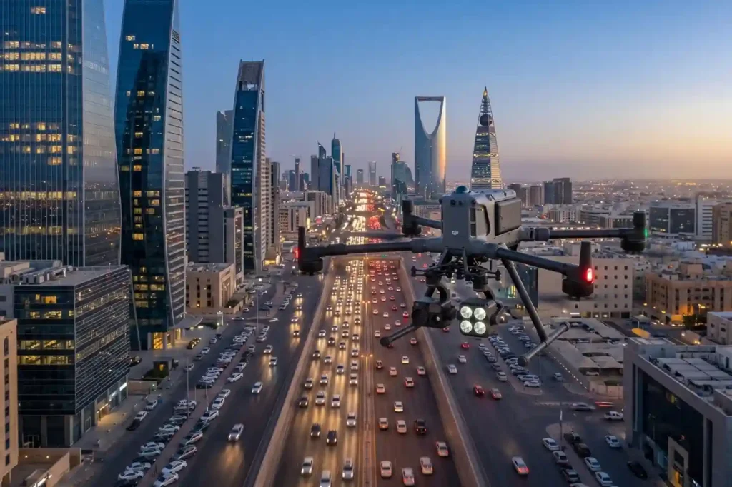
In rapidly growing cities like Riyadh and Jeddah, traffic congestion is more than a simple daily annoyance. It represents a significant drag on economic productivity and a hurdle to improving the general quality of life. The primary issue with current infrastructure is that most traffic lights operate on static, fixed timers. These systems are unable […]
Why We Need Digital Twins to Save Our Ancient Landmarks
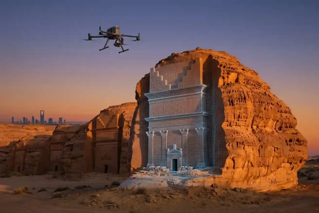
History is not permanent. Even the strongest stones of Al-Ula and the ancient mud-brick walls of Diriyah face a silent, constant threat from time, weather, and the natural process of decay. While we cannot stop the clock, we now have the technology to create a perfect digital backup of these treasures before they change forever. […]
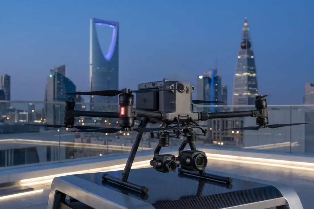
DJI Mavic 3: The Portable Work Drone
For years, professional drone operations were synonymous with large vans, heavy equipment cases, and multi-person crews. However, as we move through 2026, the industry has realized a vital truth: drones alone are no longer enough for operational purposes. While the aircraft gets you into the sky, reliable software is needed to process the large amounts […]
Drone Battery Storage & Safety: The Essential Guide

In recent years, lithium-ion battery incidents have surged globally, with reports showing a 17% increase in related fires due to mishandling during storage and charging. A single lithium battery failure can trigger “thermal runaway,” a catastrophic chain reaction where temperatures spike from 100°C to over 1,000°C in seconds. Alarmingly, over 50% of these fires occur […]
