Weak construction monitoring is costly on large projects. McKinsey reviewed 300+ large projects, each worth SAR 3.75 billion or more. The average overrun was SAR 4.8 billion, which is 79% over the initial budget, and the average delay was about 18 months. This article shows one way to keep earthworks reporting on track using satellite imagery and RTK GNSS checks, with no drone flights needed.
The monthly reporting gap
Every month, the project team needs one clear report. Earthworks sets the baseline for everything built after it. If that report is wrong, the error carries forward. The Construction Industry Institute puts rework at about 9% of total project cost. The GCC has seen the same pattern. On high-profile projects, rework has been linked to schedule delays of 10 to 20%. Cost escalation has reached up to 25% in some cases. many monthly reports rely on site walks or drone flights. Drone flights need permits. If a permit stalls, the data stalls. No data means no report.
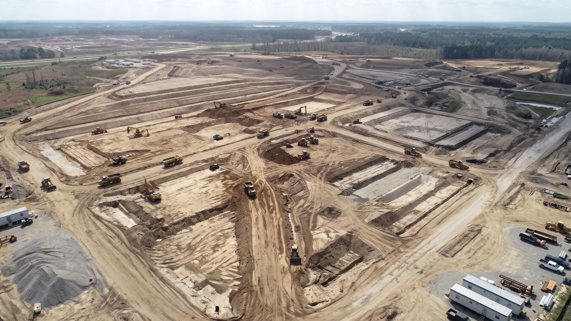
The satellite plus GNSS workflow
The workflow has three steps.
| Step | What happens | What you get |
| 1. | Scheduled high-resolution satellite imagery | A site-wide record, no flight permit |
| 2. | RTK GNSS spot checks | Ground truth for levels and volumes |
| 3. | Terra Progress views [satellite support TBC] | Progress versus schedule |
Step 1: Scheduled satellite imagery
Satellites capture the whole site on a set schedule.
You don’t need to book a flight or wait for a permit. Update frequency depends on your needs, and monthly captures at 30 cm resolution are possible. See how it worked in practice: One Client, Three Sites: 12 Months of Sharp Satellite Imagery in Central-Western KSA
Step 2: RTK GNSS spot checks
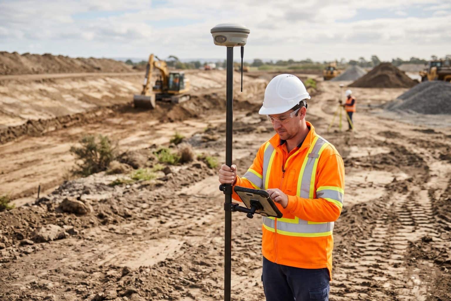
RTK GNSS is real-time kinematic positioning from satellites. A survey crew uses it to measure points on site.
These checks give ground truth for levels and volumes.
Imagery shows where work happened. The GNSS checks confirm the numbers.
Step 3: Progress versus schedule
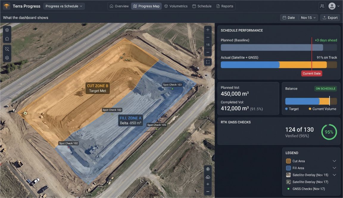
Terra Progress puts the imagery and checked levels next to the schedule.
The views feed the monthly progress report and the claims records. [satellite support TBC]
Why fewer site walks matter
Construction is still a dangerous trade. In 2024, 1,034 US construction workers died on the job.
That’s a rate of 9.2 deaths per 100,000 full-time workers. Falls, slips and trips caused 389 of those deaths, about 38%. That data covers all construction, not only earthworks. Still, it shows what’s at stake on site. Spot checks put fewer people on active earthworks.
A worked example
Take a large infrastructure site with [X] hectares of earthworks.
- Week 1: Satellite imagery is captured on schedule.
- Week 2: A crew takes RTK GNSS checks at [N] points.
- Week 3: The checked levels and imagery are loaded into the dashboard.
- Week 4: The monthly report is built from the progress views.
No flight was needed at any point.
Is construction monitoring with satellites right for you?
It suits some projects better than others.
| Good fit | Not a fit |
| Large earthworks footprint | You need interior or MEP progress |
| Flight permits are slow or restricted | You need contract administration |
| Reporting runs on a monthly cycle | You need updates faster than the imagery schedule |
Terra Progress tracks enabling works and earthworks.
It doesn’t cover interior or MEP progress. It doesn’t replace contract administration.
If your next report depends on a flight permit, a no-flight option is worth a look. Send your project inquiry to info@terra-drone.com.sa.
FAQ
How accurate is satellite imagery for construction progress?
Imagery shows progress and change across the whole site.
Satellite imagery at 30 cm resolution provides the wide-area visual baseline (see the case study), while RTK GNSS checks supply the measured levels and volumes.
How often is the imagery updated?
Imagery is captured on a set monthly schedule.
Can satellite imagery measure earthwork volumes?
Imagery shows where work happened.
RTK GNSS spot checks give ground truth for levels and volumes.
Does this replace drones?
It’s a no-flight option for monthly reporting.
Drones can still help where permits allow.
Can the output support claims records?
Yes, the progress views feed the claims records.
They don’t replace contract administration.
What happens when clouds block the imagery?
water droplets scatter or absorb light, hiding the ground and casting dark shadows that create missing data or noisy measurements.

 English