

Utilizing LiDAR Surveys Streamline Rail Infrastructure Monitoring in Dammam
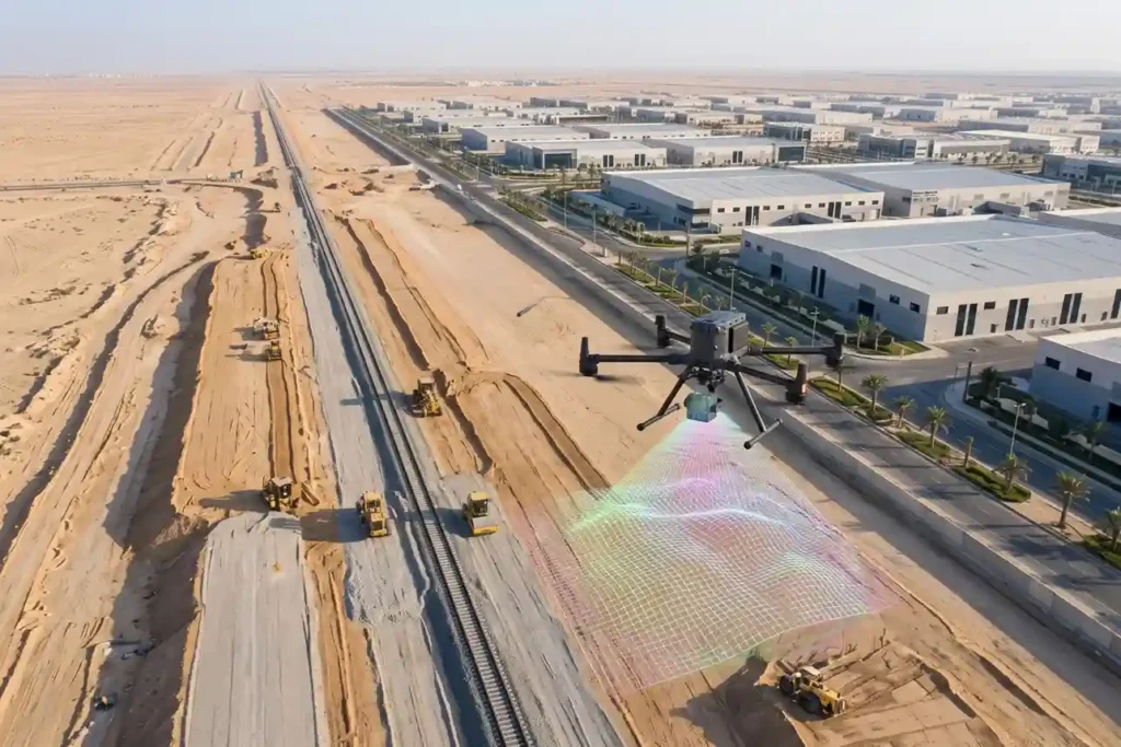
Saudi Arabia Railways (SAR) initiated the construction of the 21-kilometer single-track freight railway connecting Dammam Second Industrial City directly to the national rail network and King Abdulaziz Port. Designed to connect over 1,000 industrial facilities, the linear infrastructure project encompasses extensive earthworks, utility protection, a 265-meter bridge spanning Highway HW615, and a 118-meter bridge crossing […]
The Importance of Establishing Special Economic & Industrial Zones in KSA
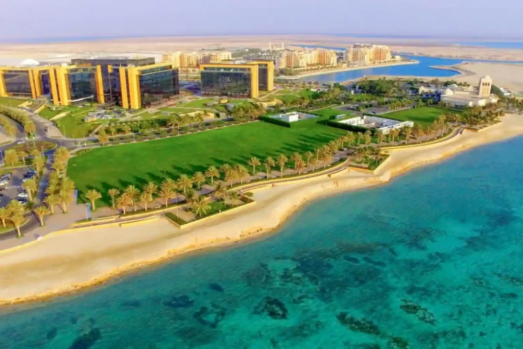
Arabia’s industrial transformation. Managed by key entities such as the Saudi Authority for Industrial Cities and Technology Zones (MODON) and ECZA (the Economic Cities and Special Zones Authority), these dedicated economic hubs provide integrated infrastructure, clusterized supply chains, and specialized business ecosystems. MODON currently oversees 36 industrial cities encompassing over 200 million square meters of […]
Drone LiDAR Flood Mapping and Riverbed Hydrological Survey for AlWadi
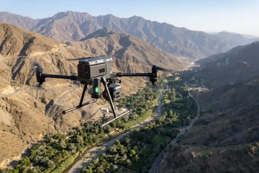
ARDARA’s flagship AlWadi development encompasses over 2.5 million square meters of connected urban and waterfront districts in Downtown Abha. Designed to align with the objectives of Saudi Vision 2030, the master plan dedicates over 30% of its total footprint to green open spaces, pedestrian pathways, and public amenities. AlWadi Master Plan Spatial Footprint: Total Site […]
Pre-Construction Topographic Mapping for the Large-Scale Gas Expansion in Jafurah
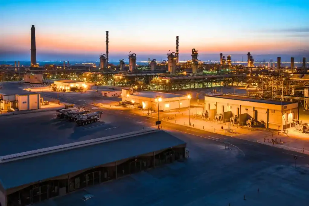
Expanding regional energy infrastructure across hyper-arid environments requires absolute geographic precision before a single asset is mobilized. As part of its long-term strategy to boost domestic energy production, Aramco is actively scaling up its country-wide gas network, recently finalizing a series of major expansion contracts totaling SAR 93.8 billion. A major pillar of this multi-tier […]
How DJI Dock 3 Cuts Solar Inspection Costs
Managing large energy sites often requires massive manual effort and high operational costs. A standard 100MW solar farm covers roughly 3.4 square kilometers and contains over 900,000 panels. Inspecting such a vast area manually can take a ground crew more than one full month to complete. A conventional ground crew of four to six people […]
 English