Drone Thermography Survey for Solar Farm O&M at SPARK

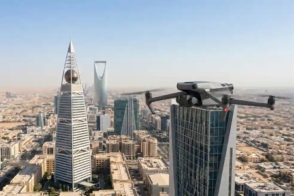
As Saudi Arabia accelerates its shift toward alternative energy under Saudi Vision 2030, the development of modern infrastructure requires automated maintenance systems. The King Salman Energy Park (SPARK) stands as a major part of this transition, operating as a sustainable industrial hub built to advance the digitalization and energy transition goals of the Kingdom. This […]
How Thermal Imaging Drones Cut Electricity Expenses
In Saudi Arabia’s extreme climate, keeping buildings cool is a constant struggle. Air conditioning is not just a comfort, it is a necessity that accounts for nearly 70% of total electricity consumption in the residential sector. When looking at the broader picture, the building sector is responsible for approximately 30% of the Kingdom’s total primary […]
GACA Drone Regulations: The 2026 Permit Guide
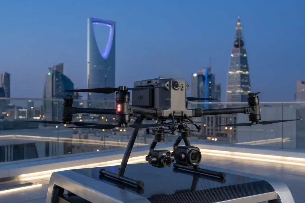
In 2026, Saudi Arabia’s drone industry is a core part of the Kingdom’s digital transformation and Vision 2030 goals. Operating a drone professionally requires more than just a controller; it requires a multi-step legal framework. Following GACA regulations ensures that your business objectives are recognized as part of a safe and integrated airspace. This guide […]
How an Anti Drone System Finds Hidden Threats

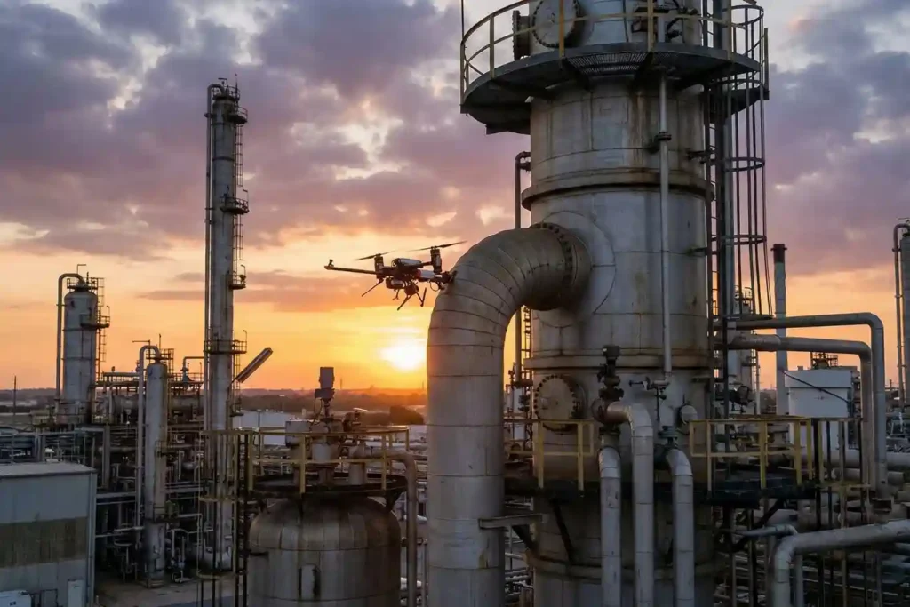
Modern industrial sites face a serious risk from low-altitude drones that avoid traditional radar. These unauthorized drones can reach sensitive areas like oil refineries or power plants without being noticed. To stop them, an anti drone system must find these targets as early as possible. This requires moving away from loud sensors and using silent […]
Shahed-136: Affordable Protection for Strategic Sites

The modern battlefield is undergoing a rapid and permanent transformation. The Shahed-136 has transitioned from a niche experimental tool into what experts call a “single reliable weapon” for asymmetric warfare. These slow-moving loitering munitions are designed for one purpose: to strike deep into enemy territory with high precision. They have moved the front lines away […]
Owning A Drone vs Hiring a Vendor: Which One Do You Actually Need?

Many business owners see the price tag of a high-end drone and think that is the only cost they need to worry about. But buying a professional drone is like looking at an iceberg. The purchase price is just the small part you see above the water. Beneath the surface is a massive collection of […]
The Complete DJI Enterprise Software Guide: From Data to Intel

Drones alone are no longer enough for operational purposes. While a high-performance aircraft is the “muscle” of the operation, it is merely a vehicle for sensors. To truly unlock value, reliable software is needed to process large amounts of data acquired during field missions. The complexity of modern infrastructure means that “one size fits all” […]
Drone Battery Storage & Safety: The Essential Guide

In recent years, lithium-ion battery incidents have surged globally, with reports showing a 17% increase in related fires due to mishandling during storage and charging. A single lithium battery failure can trigger “thermal runaway,” a catastrophic chain reaction where temperatures spike from 100°C to over 1,000°C in seconds. Alarmingly, over 50% of these fires occur […]
How DJI FlyCart 30 Delivers in Difficult Terrain and High Altitudes

In 2026, drone delivery has transitioned from an emerging trend into a formidable operational challenge. As global industries push for total automation, the real test lies in the “Last Mile”—the final, most difficult stretch of the supply chain. While the world demands faster connectivity, remote and mountainous terrains continue to pose a multi-million dollar bottleneck […]
Voliro T: Redefining Structural Integrity Inspections through Aerial NDT
For years, industrial drones have been celebrated as the “eyes in the sky,” providing invaluable visual and thermal data from a safe distance. However, for asset integrity managers, a significant “last mile” remained: the inability to perform physical, contact-based testing without expensive scaffolding, risky rope access, or heavy machinery. Enter the Voliro T. This is […]
