
FIFISH E-Master: The Seafloor Mapping Revolution
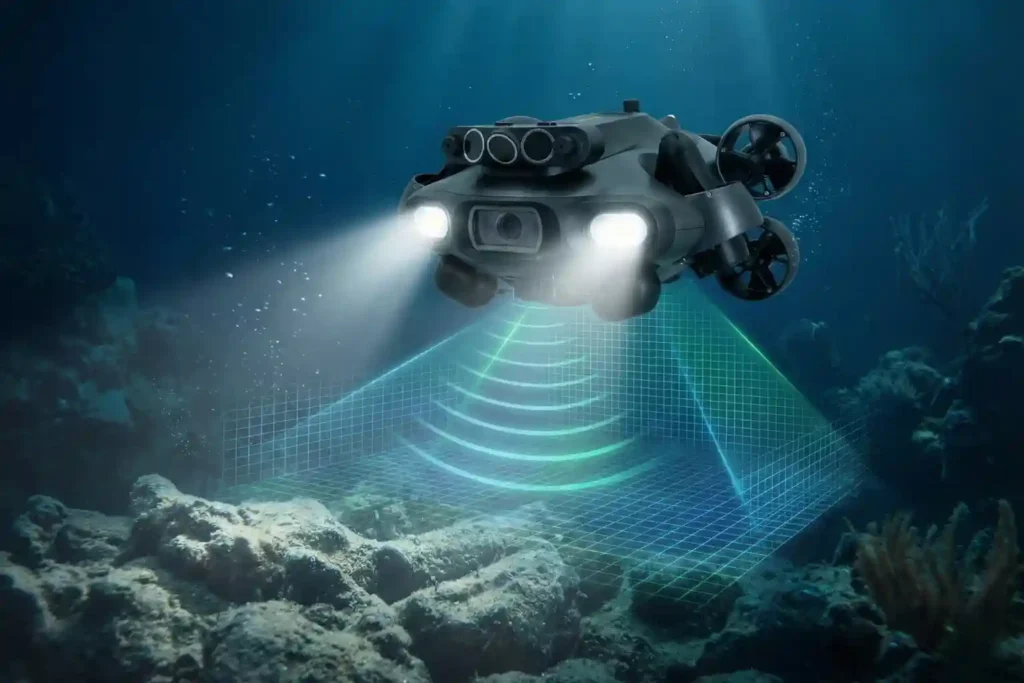
Navigating the Industrial Abyss The Complexity of 2026: Subsea operations have evolved beyond simple visual checks to requiring high-precision data, physical interaction, and deep-water endurance. The Multi-Disciplinary Challenge: No single tool fits all tasks, aquaculture requires agility, while offshore energy demands heavy-duty payloads and millimetric metrology. The Solution: Introducing the QYSEA FIFISH ROV Lineup, an […]
Deepwater inspection: Identifying Early-Stage Damage in Offshore Assets with QYSEA
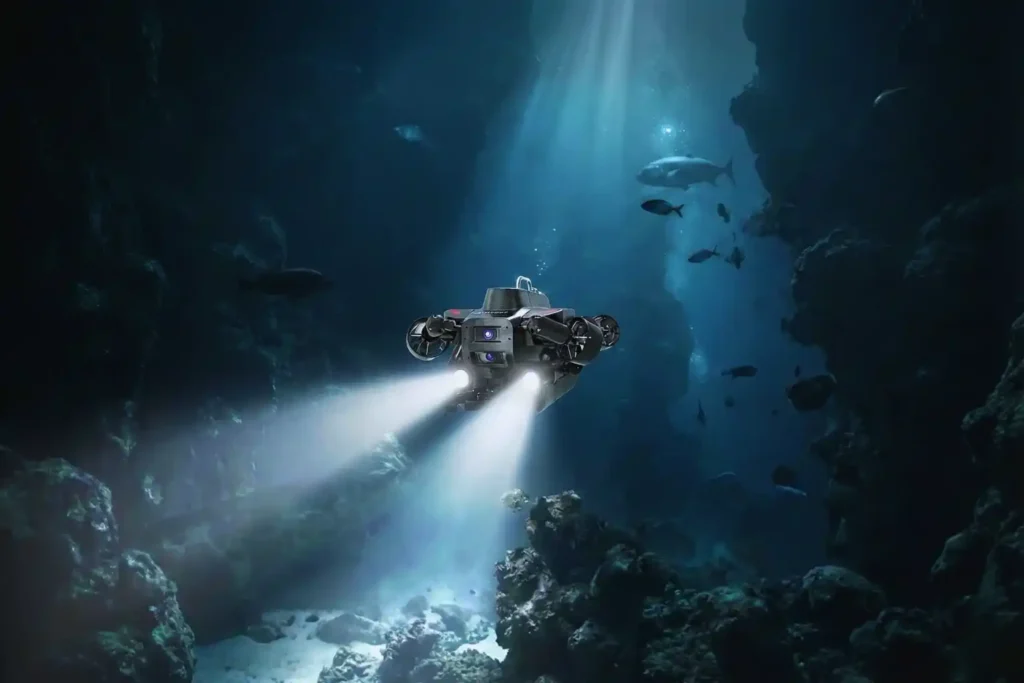
In the offshore energy sector, what you cannot see can cost you millions. Submerged infrastructure from oilfield wellheads to deep-sea port pilings exists in a state of constant chemical and structural attrition. Saltwater corrosion, biofouling, and extreme pressure work in tandem to create micro-cracks and material fatigue that are often invisible to the naked eye. […]
Cloud-First Mapping: Accelerating Construction Timelines with ArcGIS Online and ArcGIS Enterprise
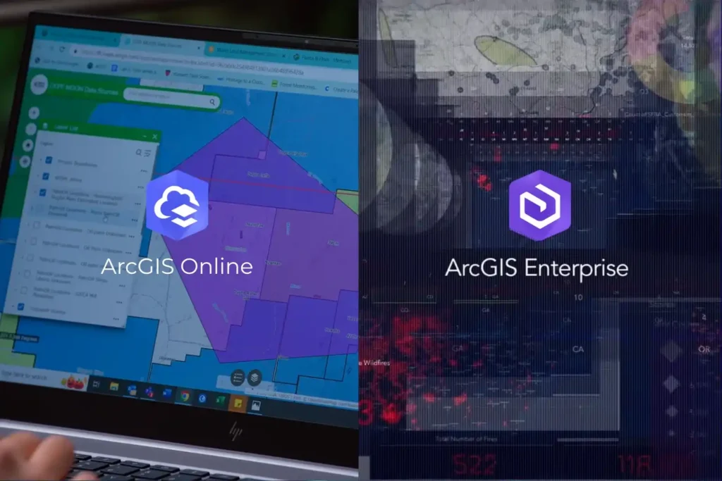
Every drone mission, whether it is an inspection of a solar farm in NEOM or a volumetric survey in the Empty Quarter ends with a massive influx of data. Thousands of images, high-density point clouds, and thermal layers require a “home.” Without a robust platform to organize and visualize this information, your drone program is […]
Engineering the “Eyes” of Autonomous Flight with Digital Twin & Synthetic Vision

The Pilotless Revolution The future of urban transportation is not just in the air; it is autonomous. To realize the full potential of Advanced Air Mobility (AAM), air taxis must transition from human-piloted craft to fully autonomous systems capable of scaling across busy metropolitan centers. However, this transition faces a massive technical hurdle: the “urban […]
Securing Marine Assets with ROV Inspection and Subsea NDT.
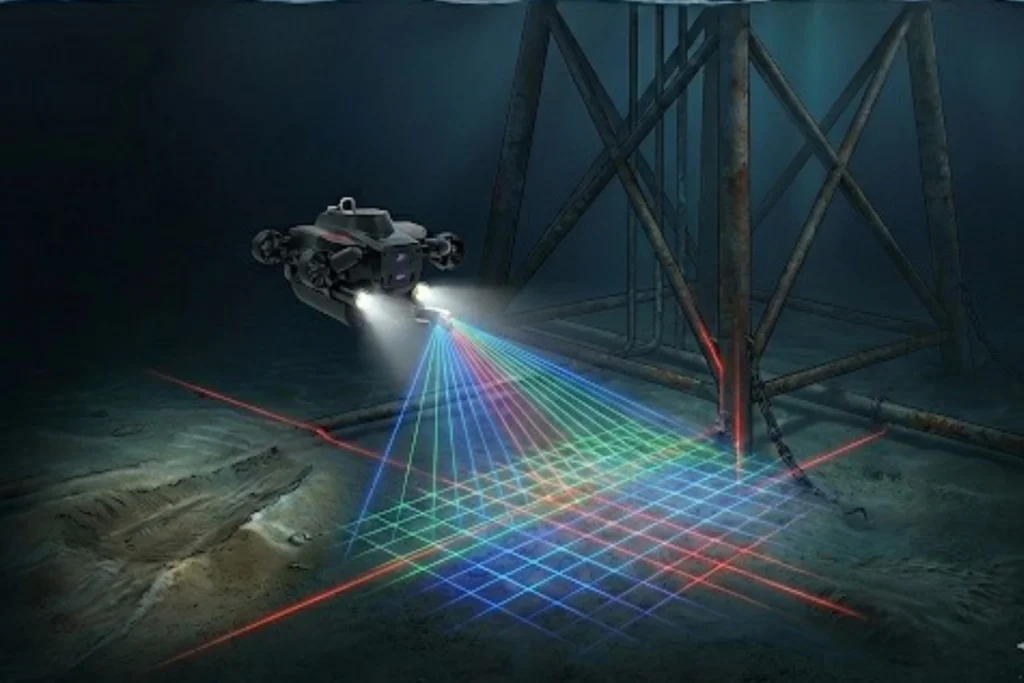
While the world marvels at the soaring skyscrapers of Riyadh and the mirrored walls of NEOM, a second, equally ambitious infrastructure revolution is taking place beneath the waves. Saudi Arabia’s maritime infrastructure, spanning the Red Sea and the Arabian Gulf is home to a vast, invisible network of subsea lifelines, including oil and gas pipelines, […]
Quantifying the Invisible: Autonomous Equipment for Total Environmental Oversight.
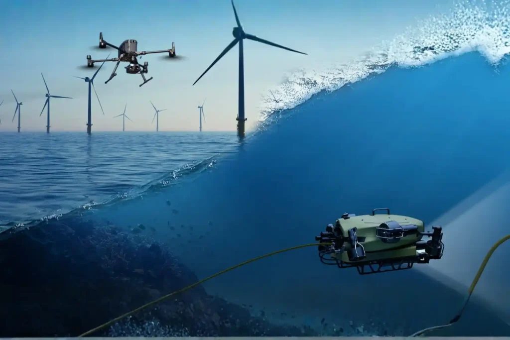
The Regulatory Squeeze Offshore energy operators today face a dual threat that is often invisible to the naked eye. The first threat is leaking methane gas in the air, a potent greenhouse gas. The second is ecological damage on the seabed beneath the platform. For decades, these impacts were estimated using calculations or infrequent spot […]
Precise Prediction: Low Altitude Economy Aerial Data for Digital Twin Infrastructure.

The Urban Data Gap Smart cities like NEOM or Riyadh are not just collections of concrete and glass. They are complex, living systems that breathe, move, and consume energy. Managing such complexity requires real-time intelligence. Yet, many city planners still rely on static ground surveys and outdated maps. They cannot see how a new skyscraper […]
Quadruped Ground Robot with Zero Human Risk For Hazardous Industrial Inspections.
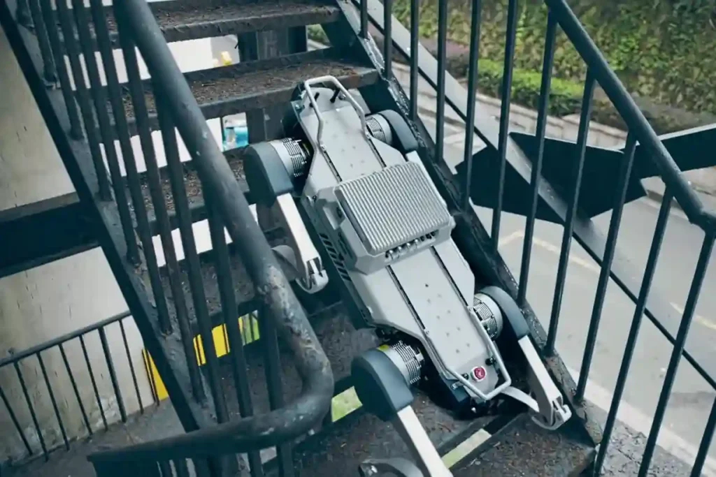
The Unsolved Risk in Industrial Ground Inspection Industrial facilities, power plants, pipeline corridors, deep tunnels, and vast construction sites demand continuous oversight. This oversight traditionally falls to human patrol inspectors. These workers face constant, severe hazards: exposure to toxic gases, extreme heat, high voltage, complex obstacles, and unstable terrain. This manual ground patrol method creates […]
The Coastal Imperative: Why ROV-Based Monitoring is Essential for Maintaining Saudi Vision 2030’s Offshore and Port Infrastructure.
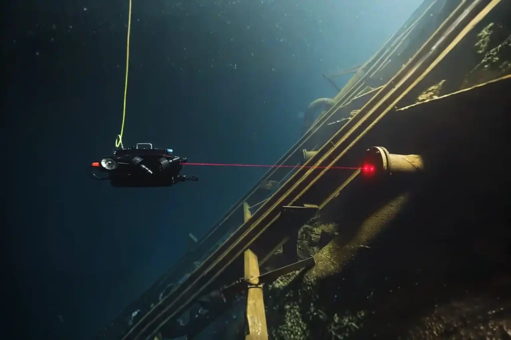
The Challenge Beneath the Surface The foundations of the MENA economy, jetties, bridges, seawalls, port facilities, and offshore energy platforms. They rely on submerged infrastructure. These assets face a brutal, unseen enemy: the marine environment. Constant exposure to seawater, which is highly corrosive, leads to material loss. This structural decay is worsened by biofouling, the […]
Save 95℅ Time with Drone-Based Corrosion Inspection for Assets
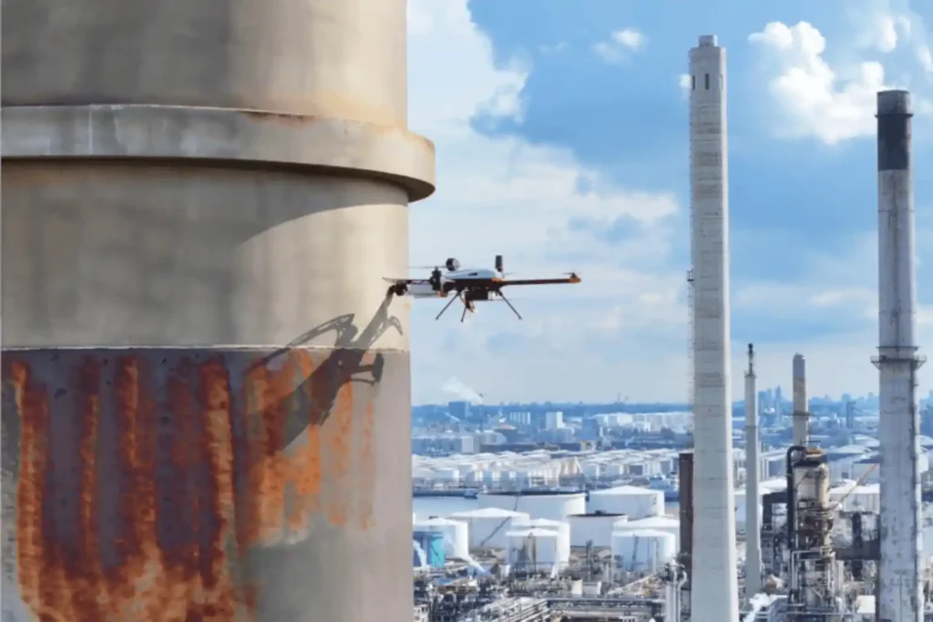
The Corrosion Inspection Challenge Corrosion is the silent and relentless enemy of metal assets—it remains the leading cause of unplanned shutdowns, containment failures, and devastating safety risks across the oil & gas, petrochemical, and heavy industrial sectors. In the demanding environments of the MENA region, assets like storage tanks, pipelines, and flare stacks face extreme […]
 English
  العربية