Revolutionizing Land Surveying with Drone Photogrammetry and LiDAR Integration
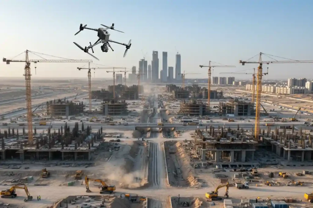
The foundational work of building Saudi Arabia’s next-generation cities from the coastal developments of Red Sea Global to the vast infrastructure of NEOM begins with a single critical step: land surveying. This core discipline, often taken for granted, is the very first factor dictating a project’s timeline and budget. Yet, the relentless pace and massive […]
From 6 Months to 3: The Reality Capture Revolution Driving Topographic Survey For Saudi Vision 2030
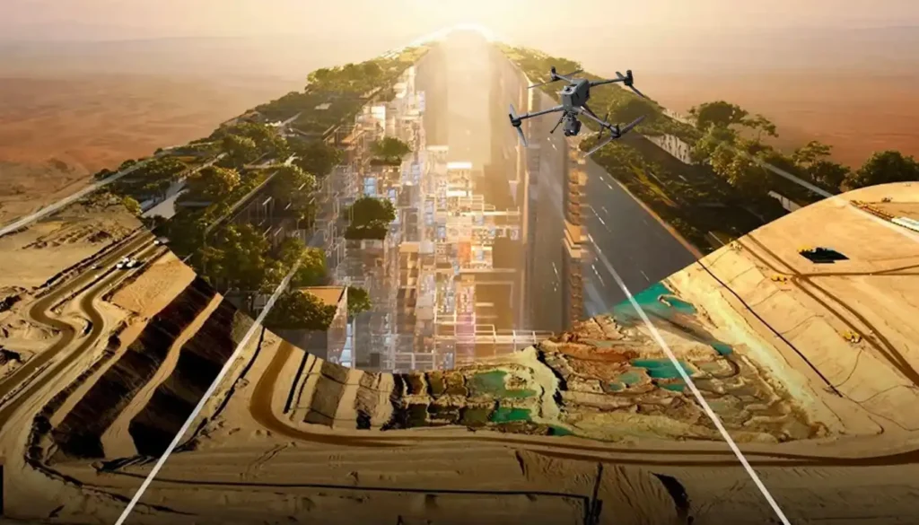
The scale and speed of construction across Saudi Arabia from NEOM to ROSHN are rewriting the global rules of project management. Under the demanding mandate of Vision 2030, a months-long delay in acquiring foundational data is no longer an option. Project timelines have compressed to the point where the traditional methods used for decades simply […]
How Drone Mapped Over 100 km² Under 1 Month

We delivered high-accuracy coastal topography to support mangrove planning and environmental impact assessment across more than 100 km² at the eastern province shoreline, split into multiple shoreline blocks. Field data collection finished in 1 month, and processing took 2 months, for a total delivery under 3 months end-to-end. The objective was a drone-based LiDAR + […]
How Drones 2x Fastened Survey for Large Areas

Executive summary We delivered a coastal topographic map to support mangrove planning and environmental impact assessment across 102 km² split into 13 shoreline blocks in Jubail and Ras Al Khair. Field data collection finished in 1 month. Processing took 2 months. The program concluded in under 3 months end-to-end, significantly faster than a traditional coastal […]
How DJI Dock 3 Saves City Surveillance Budget by 30%

Capturing the Smart City Challenge The growth of modern cities is accelerating at a scale that challenges traditional infrastructure. By 2050, over 68% of the global population is expected to live in urban centers, with cities like Riyadh, Dubai, and Jeddah already experiencing rapid expansion. This growth introduces a complex mix of challenges: Population Density: […]
8x Faster Your Minerals Exploration With Drone and Satellite Applications
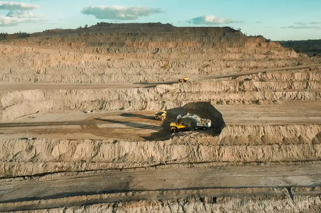
The Evolving Challenges of Mineral Exploration The race for critical minerals has intensified. Copper, lithium, cobalt, and rare earths are in unprecedented demand to power renewable energy, electric vehicles, and digital technologies. By 2040, lithium demand could reach 1,326 kt, copper 36,379 kt, and rare earths 169 kt. But traditional mineral exploration methods struggle to […]
Cut Survey Labor Costs by Up to 60% with High-Accuracy Drone Surveys

Precision from the Ground Up A High-Accuracy Drone Survey is the foundation for efficient solar and wind energy projects. In renewable development, the land beneath your infrastructure determines how much energy you generate and how much profit you keep. For solar farms, even small slope errors can reduce sunlight capture. A misalignment of just a […]
How a Drone Topographic Survey Cuts Renewable Energy Site Prep Time by Up to 90%

In renewable energy development, the efficiency of a solar farm or wind park begins long before the first panel or turbine is installed. It starts with the precision of the terrain data. Even minor errors in elevation, slope, or site orientation can lead to long-term energy losses, unnecessary maintenance costs, and reduced return on investment. […]
How Drones Cut 8 hours to 30 Minutes in Topographic Survey

Drone Topographic Mapping is rapidly redefining how utility providers and EPC firms approach transmission line surveys. In a region where megaproject timelines are non-negotiable, particularly in Saudi Arabia and across the MENA region, traditional methods simply can’t keep pace with modern demands. 1. Why Timelines Matter in Power Transmission Projects In Saudi Arabia’s ambitious energy […]
How Drone Topographic Surveys Improve Power Transmission Project Timelines
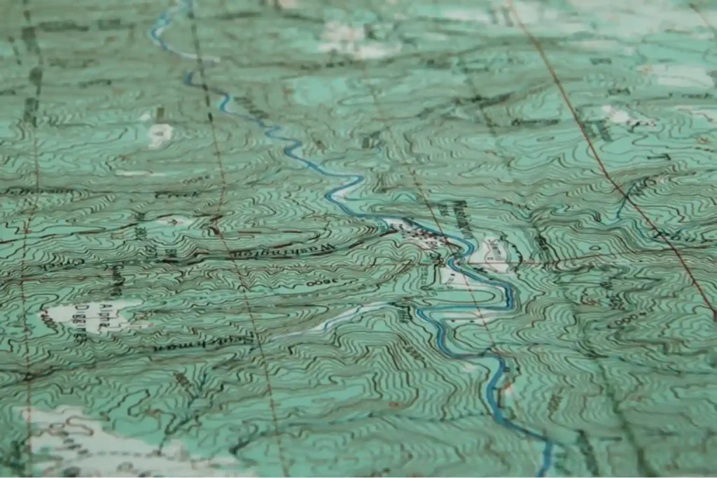
Drone topographic surveys are transforming how we map and deliver power transmission projects. With growing energy demands and infrastructure targets tied to Saudi Arabia’s Vision 2030, utility providers and EPC contractors face intense pressure to optimize construction schedules and reduce planning delays. Traditional ground-based survey methods, while accurate, are often slow, labor-intensive, and prone to […]
 English