Large-Scale Topographic Survey and Earthwork Analysis Using Drone LiDAR and Terra MapX
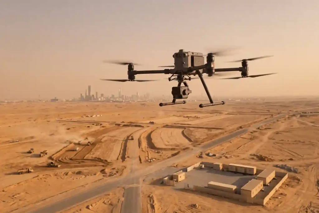
Cloud-Based Spatial Intelligence: Core Analytics of Terra MapX The primary operational challenge in modern reality capture is no longer collecting field data. It is processing, distributing, and extracting actionable intelligence from the massive datasets generated. A multi-square-kilometer aerial LiDAR and photogrammetry mission routinely produces hundreds of gigabytes of raw data: billions of 3D point cloud […]
 العربية