

Technology that Complementing with Ground Penetration Radar (GPR) Survey
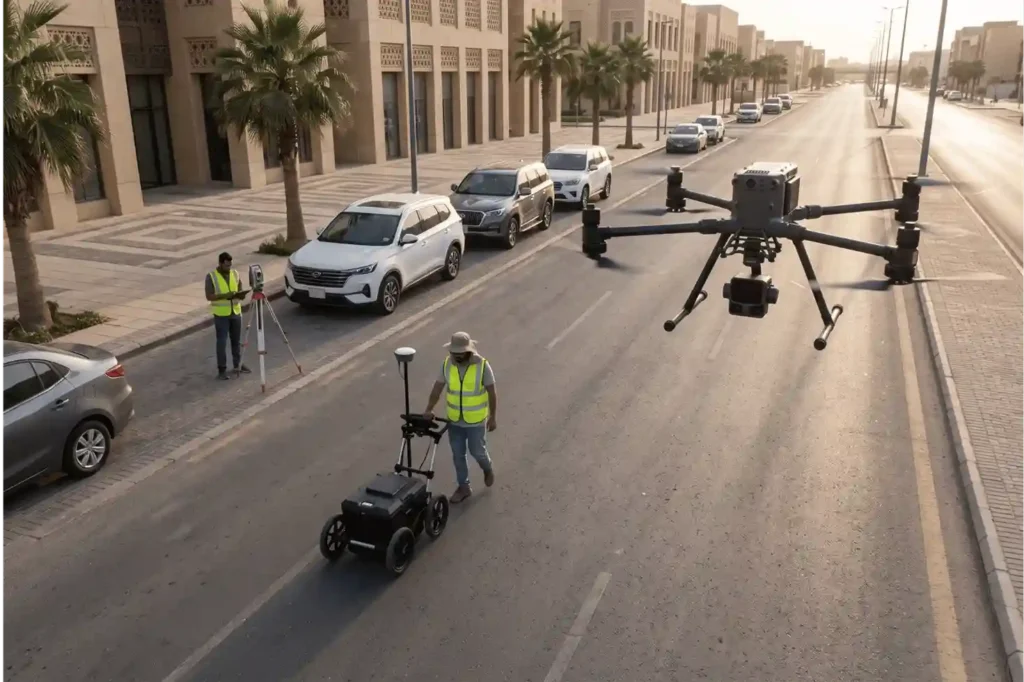
Ground Penetrating Radar (GPR) is one of the most effective non-destructive tools for imaging what lies beneath the surface. By emitting high-frequency electromagnetic pulses and recording reflected wave amplitudes, GPR detects metallic and non-metallic pipes, electrical duct banks, concrete reinforcement, and subterranean voids without physical excavation. However, GPR cannot operate as a standalone solution for […]
 العربية