

Zero-Shutdown NDT Inspection for Petrochemical Asset Integrity in Yanbu
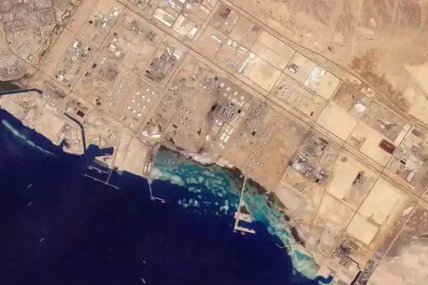
Expanding refining and petrochemical downstream complexes across Yanbu Industrial City, including major operating facilities like YASREF, SAMREF, NATPET, and Luberef requires continuous asset integrity audits across live high-pressure vessels, distillation columns, storage tanks, and interconnecting pipe racks. Positioned on the Red Sea as a critical global refining hub, Yanbu is accelerating downstream liquids-to-chemicals integration and […]
Aerial Volumetric Surveying for Canal Excavation and Earthworks Tracking
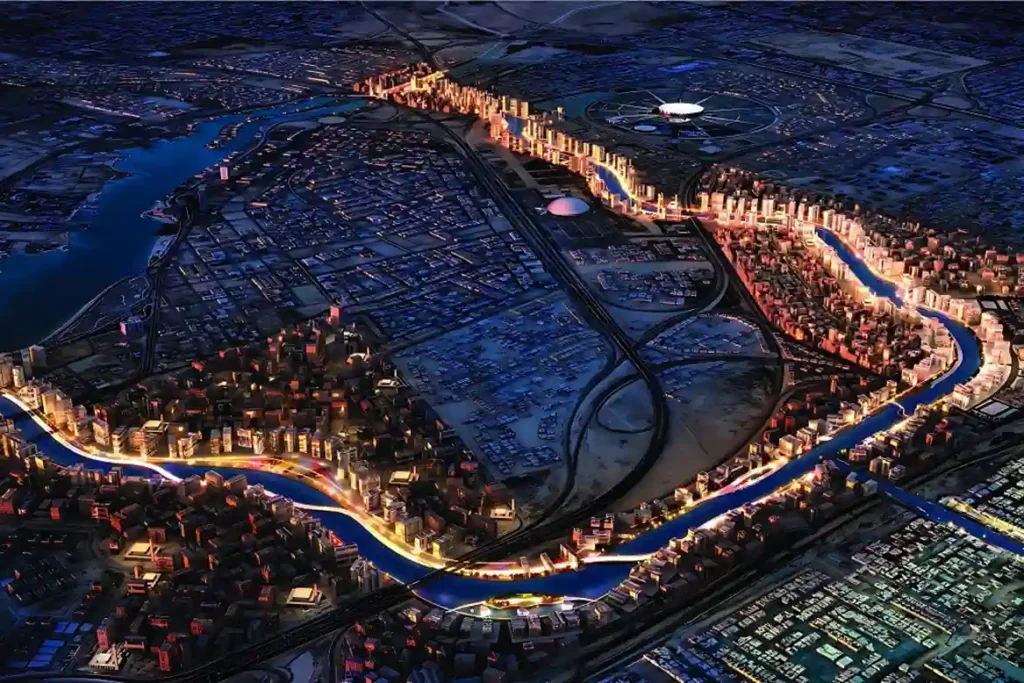
ROSHN Group’s landmark MARAFY development encompasses over 9.4 million square meters of integrated waterfront districts in northern Jeddah. The central centerpiece of this master plan is Saudi Arabia’s first navigable urban water channel, extending 11 kilometers in length and over 100 meters in width to connect Obhur Creek inland. Executing a civil project of this […]
Drone Thermal Inspection for Dewatering and Leak Detection on ROSHN’s MARAFY Canal
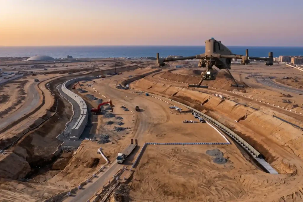
ROSHN Group’s landmark MARAFY development encompasses over 9.4 million square meters of connected waterside districts in northern Jeddah. The central feature of this master plan is Saudi Arabia’s first navigable urban water channel, extending 11 kilometers in length and over 100 meters in width to connect Obhur Creek inland. Civil engineering teams have made rapid […]
NEOM’s Linear City: Geographic and Structural Obstacles
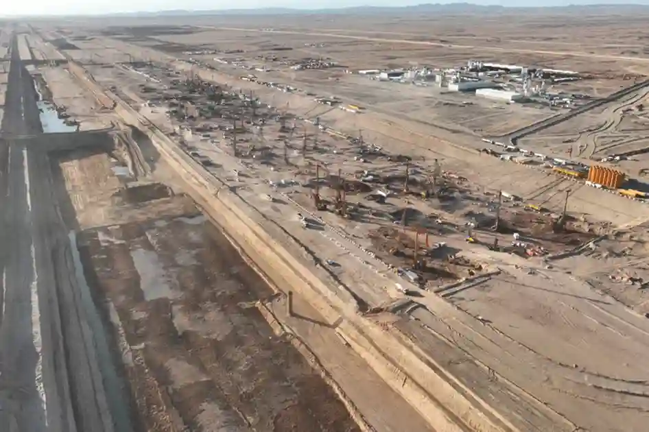
Introduction and Regional Context Constructing a continuous 170-kilometer urban corridor flanked by twin 500-meter-tall mirrored structures represents one of the most ambitious civil engineering endeavors in modern history. Designed to stretch across coastal plains, desert valleys, and rugged granite mountains, the project requires ground engineering solutions that far exceed conventional urban development models. As explored […]
Afforestation Monitoring: Using Multispectral Drone for Tree Canopy Health
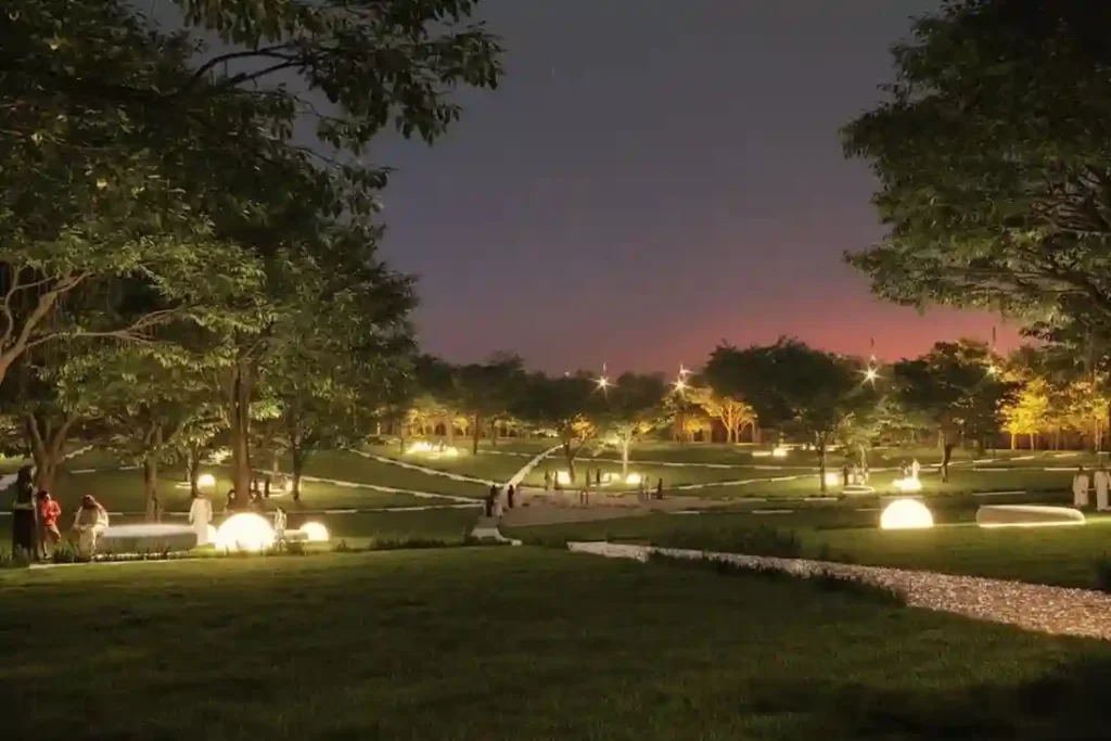
Urban greening in desert environments requires active monitoring to ensure long-term plant survival. Under Saudi Vision 2030, the Green Riyadh project represents a massive effort to build sustainable urban spaces. A central part of this initiative is the construction of three new city parks in the Al Munsiyah, Al Rimmal, and Al Qadisiyah neighborhoods, covering […]
Precision Geospatial Inspection: Safeguarding Green Riyadh’s Water Infrastructure with Aerial Leak Detection
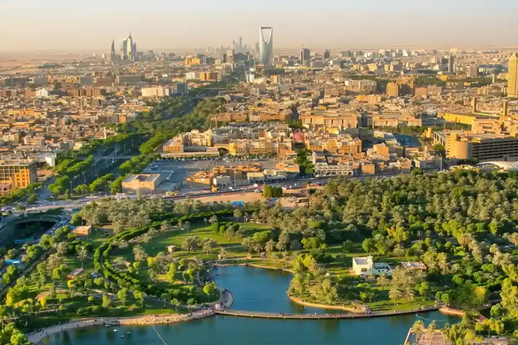
Urban modernization inside arid climates requires robust resource management to sustain newly built environmental projects. Under the economic development mandates of Saudi Vision 2030, the Green Riyadh initiative represents a major municipal effort to transform the desert capital into an ecologically balanced urban space. A primary focus of this initiative is the construction of three […]
Drone Thermography Survey for Solar Farm O&M at SPARK
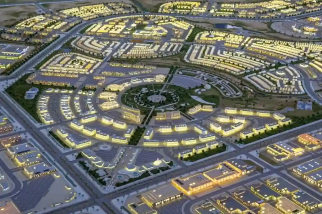
As Saudi Arabia accelerates its shift toward alternative energy under Saudi Vision 2030, the development of modern infrastructure requires automated maintenance systems. The King Salman Energy Park (SPARK) stands as a major part of this transition, operating as a sustainable industrial hub built to advance the digitalization and energy transition goals of the Kingdom. This […]
Diriyah 2032 Rail: Weekly Digital Twin Audits for RCRC Transit Infrastructure
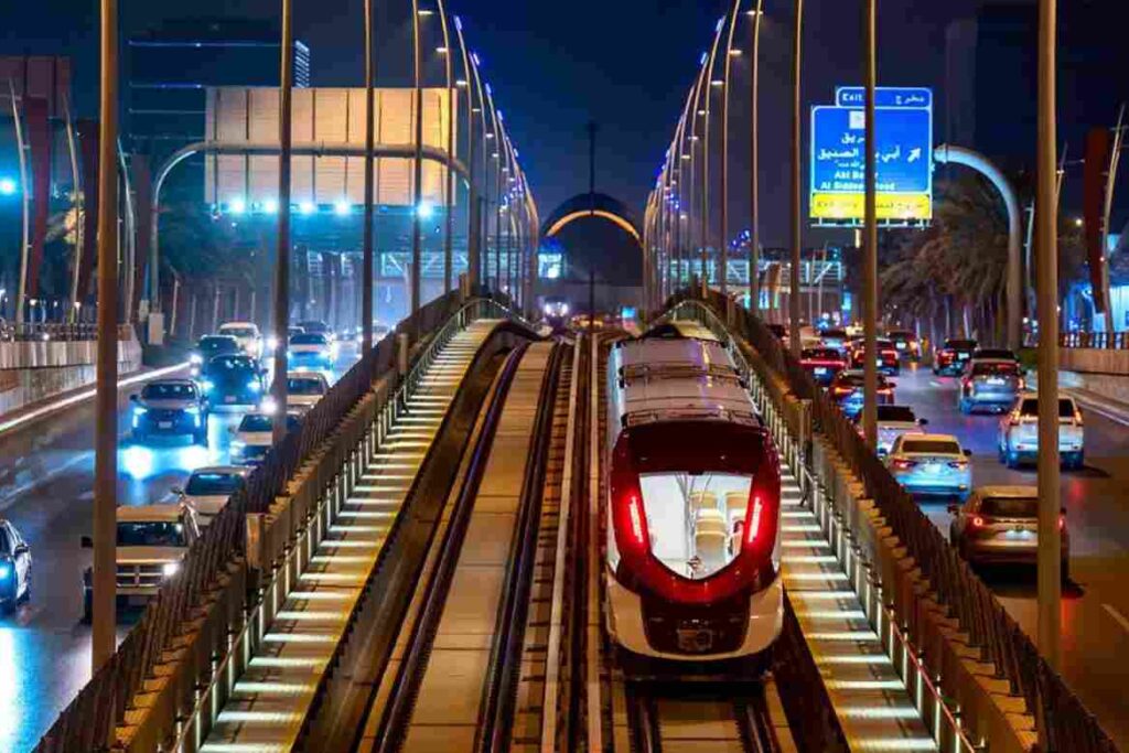
The Royal Commission for Riyadh City (RCRC) is actively extending the Riyadh Metro Red Line by 8.4 kilometers, driving the transit network directly into the Diriyah Gate development project. This mass infrastructure expansion introduces a significant civil engineering challenge, requiring 7.1 kilometers of deep underground tunneling alongside 1.3 kilometers of elevated viaduct tracks. The expansion […]
NEOM’s Linear City: Geographic and Structural Obstacles
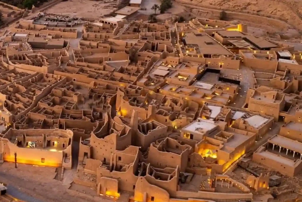
The SAR 2.7 Billion Diriyah Megaproject The Diriyah Company’s recent award of a SAR 2.7 billion contract to the joint venture of Hassan Allam Construction Saudi and UCC Saudi marks the official construction launch of the Waldorf Astoria superblock. This high-profile mixed-use development features a 200-key luxury hotel, 47 branded residences, commercial facilities, and modern […]
Underwater Biovidersity Inspection With QYSEA FIFISH V-EVO
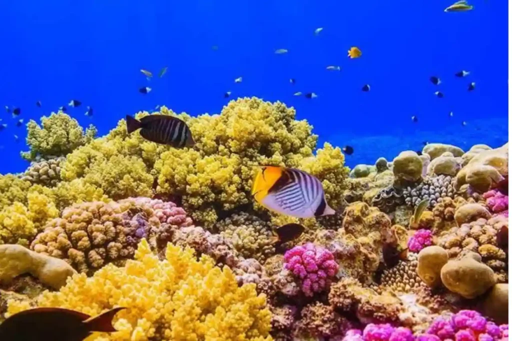
Seafloor Mapping Protecting a coastal ecosystem requires a complete understanding of its underwater terrain. Before any conservation plans or low-impact tourist activities can begin around Laheq Island, environmental teams must map the layout, underwater trenches, and shallow slopes of the seabed. This structural map helps scientists understand exactly where marine habitats are located and how […]
 العربية