Afforestation Monitoring: Using Multispectral Drone for Tree Canopy Health
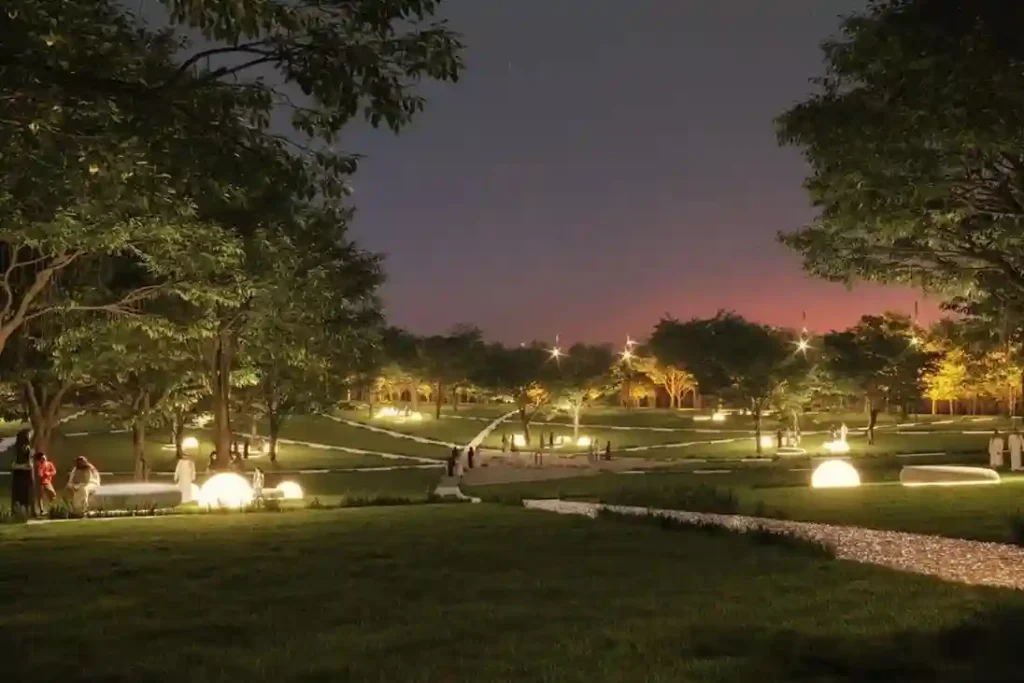
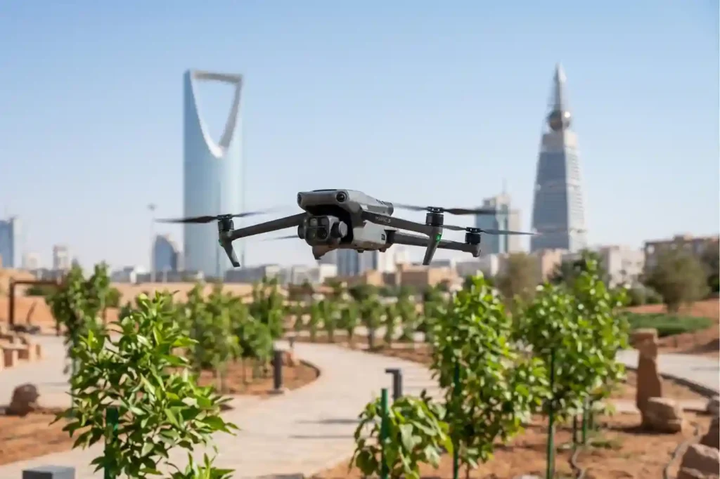
Urban greening in desert environments requires active monitoring to ensure long-term plant survival. Under Saudi Vision 2030, the Green Riyadh project represents a massive effort to build sustainable urban spaces. A central part of this initiative is the construction of three new city parks in the Al Munsiyah, Al Rimmal, and Al Qadisiyah neighborhoods, covering […]
Precision Geospatial Inspection: Safeguarding Green Riyadh’s Water Infrastructure with Aerial Leak Detection
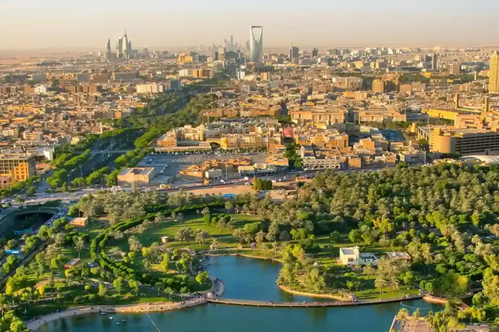
Urban modernization inside arid climates requires robust resource management to sustain newly built environmental projects. Under the economic development mandates of Saudi Vision 2030, the Green Riyadh initiative represents a major municipal effort to transform the desert capital into an ecologically balanced urban space. A primary focus of this initiative is the construction of three […]
Drone Thermography Survey for Solar Farm O&M at SPARK
As Saudi Arabia accelerates its shift toward alternative energy under Saudi Vision 2030, the development of modern infrastructure requires automated maintenance systems. The King Salman Energy Park (SPARK) stands as a major part of this transition, operating as a sustainable industrial hub built to advance the digitalization and energy transition goals of the Kingdom. This […]
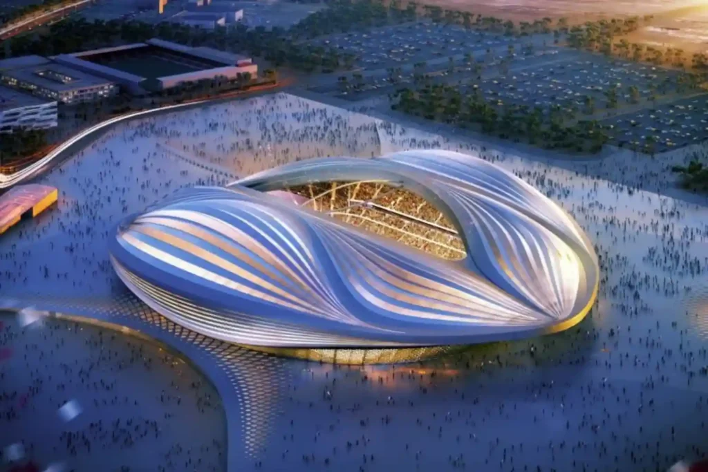
Cliffside Risk and Moving Components Mapping at the New Qiddiya Stadium
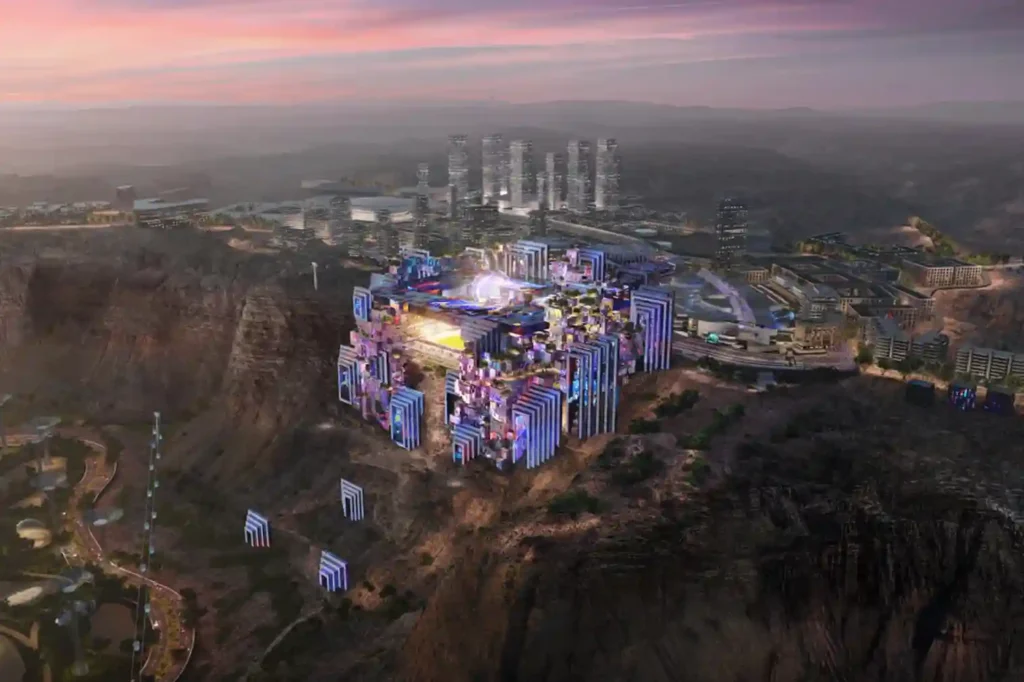
The construction of the Prince Mohammed bin Salman Stadium represents a significant architectural shift in global sports infrastructure. It stands as a crown jewel of the Qiddiya gigaproject, built directly atop a breathtaking, vertical 200-meter-high Tuwaiq cliff edge that overlooks the Qiddiya entertainment district. Designed to serve as a premier venue for the 2027 AFC […]
King Fahd Stadium: How Drone Secures the 2027 Asian Cup Venue
As Saudi Arabia approaches the 2027 AFC Asian Cup, the expansion of King Fahd Sports City Stadium stands as the primary infrastructure priority. Chosen to host the tournament’s opening and closing ceremonies, the venue requires a complete engineering overhaul to meet international standards. This massive civil construction project involves complex structural modifications. The expansion will […]
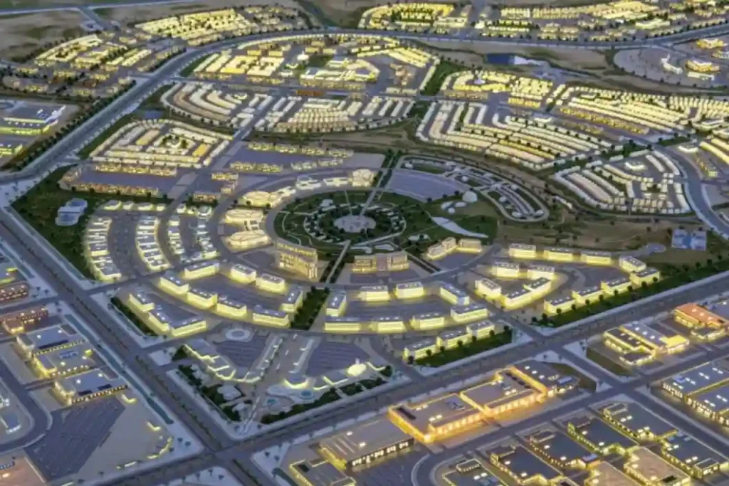
Diriyah 2032 Rail: Weekly Digital Twin Audits for RCRC Transit Infrastructure
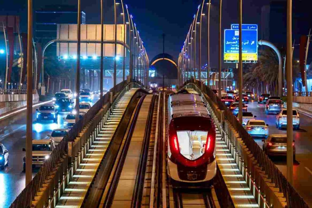
The Royal Commission for Riyadh City (RCRC) is actively extending the Riyadh Metro Red Line by 8.4 kilometers, driving the transit network directly into the Diriyah Gate development project. This mass infrastructure expansion introduces a significant civil engineering challenge, requiring 7.1 kilometers of deep underground tunneling alongside 1.3 kilometers of elevated viaduct tracks. The expansion […]
Construction Tracking and 3D Digital Twin for Saudi Arabia’s Superblock

The SAR 2.7 Billion Diriyah Megaproject The Diriyah Company’s recent award of a SAR 2.7 billion contract to the joint venture of Hassan Allam Construction Saudi and UCC Saudi marks the official construction launch of the Waldorf Astoria superblock. This high-profile mixed-use development features a 200-key luxury hotel, 47 branded residences, commercial facilities, and modern […]
BIM Integration in Qiddiya City’s Future Sports Medical Centre
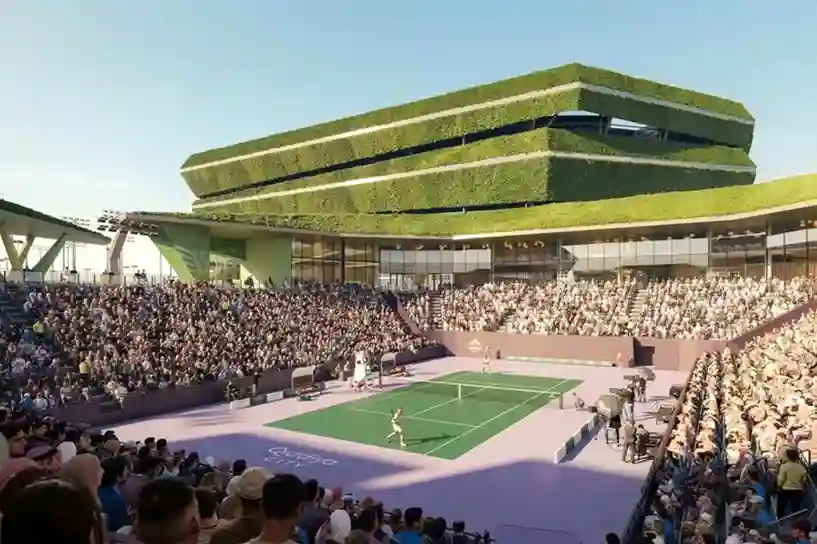
Establishing complex healthcare facilities in hyper-arid desert landscapes requires an extreme level of spatial precision before any ground is broken. In April 2026, the official agreement between Qiddiya Investment Company (QIC) and King Faisal Specialist Hospital & Research Centre (KFSH&RC) was finalized to establish a new specialized sports medical center. Developing a world-class clinical facility […]
Climate-Resilient Infrastructure: Drone Thermal Mapping for Megaprojects
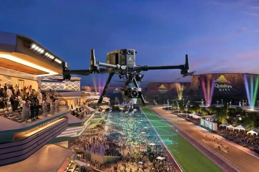
Establishing massive urban complexes in hyper-arid desert environments requires absolute spatial precision right from the start. The Qiddiya City master plan spans over 360 to 376 square kilometers, which will comprise multiple districts, including 43 separate sports facilities. Developing on this scale requires robust civil engineering frameworks to handle massive human populations. Once fully operational, […]
Using Multispectral Drones to Detect Water Stress in Desert Plants
Riyadh’s extreme summer heat creates severe thermal stress, making massive urban forestry projects a critical challenge for local engineering teams. To combat this climate setback, the Green Riyadh initiative spans 545 square kilometers with a mandate to plant 7.5 million trees across the capital by 2030. According to environmental impact data, this intensive urban forestry […]
