How Thermal Imaging Drones Cut Electricity Expenses
In Saudi Arabia’s extreme climate, keeping buildings cool is a constant struggle. Air conditioning is not just a comfort, it is a necessity that accounts for nearly 70% of total electricity consumption in the residential sector. When looking at the broader picture, the building sector is responsible for approximately 30% of the Kingdom’s total primary […]
Why Drones Are Faster Than Traditional Mapping for Large Sites
Mapping large, rugged areas of land like those in Makkah has traditionally been a slow and labor-intensive process. When dealing with several square kilometers of uneven terrain, manual ground teams often spend weeks or even months walking the site to collect enough data points. In the recent project taking place in Makkah, the goal was […]
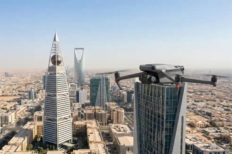
Real-Time Traffic Management With Drones to End Road Jams
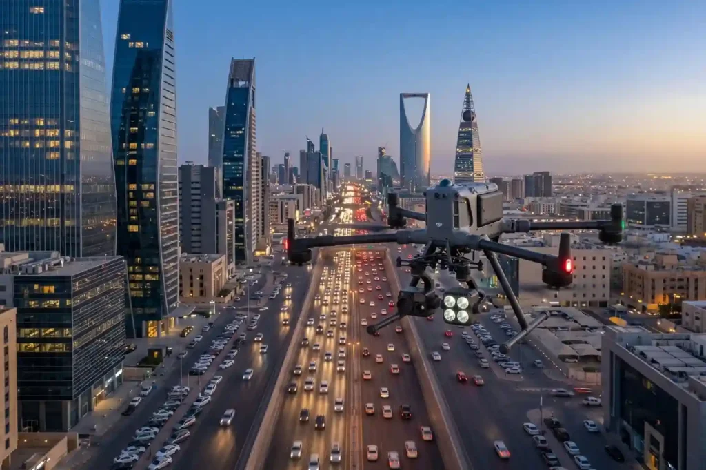
In rapidly growing cities like Riyadh and Jeddah, traffic congestion is more than a simple daily annoyance. It represents a significant drag on economic productivity and a hurdle to improving the general quality of life. The primary issue with current infrastructure is that most traffic lights operate on static, fixed timers. These systems are unable […]
Why We Need Digital Twins to Save Our Ancient Landmarks
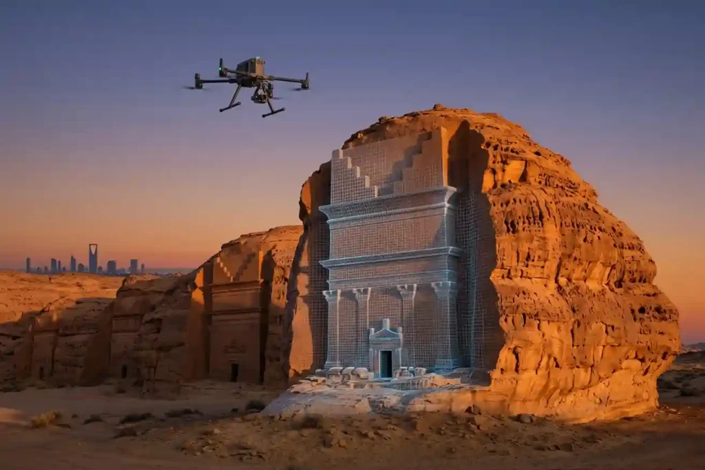
History is not permanent. Even the strongest stones of Al-Ula and the ancient mud-brick walls of Diriyah face a silent, constant threat from time, weather, and the natural process of decay. While we cannot stop the clock, we now have the technology to create a perfect digital backup of these treasures before they change forever. […]
DJI Mavic 3: The Portable Work Drone
For years, professional drone operations were synonymous with large vans, heavy equipment cases, and multi-person crews. However, as we move through 2026, the industry has realized a vital truth: drones alone are no longer enough for operational purposes. While the aircraft gets you into the sky, reliable software is needed to process the large amounts […]
How DJI FlyCart 30 Delivers in Difficult Terrain and High Altitudes

In 2026, drone delivery has transitioned from an emerging trend into a formidable operational challenge. As global industries push for total automation, the real test lies in the “Last Mile”—the final, most difficult stretch of the supply chain. While the world demands faster connectivity, remote and mountainous terrains continue to pose a multi-million dollar bottleneck […]
Coastal LiDAR: Precision Mapping for Saudi Arabia’s Environmental Restoration

The coastal ecosystems of the Arabian Gulf have historically faced immense ecological pressure, particularly following the significant environmental disruptions of the early 1990s. Recognizing the critical need for sustainable recovery, we conducted a coastal restoration drone LiDAR survey to provide the high-fidelity data necessary for environmental remediation. This mission was not merely about mapping; it […]
Airins’ Autonomous Solutions: Transforming Environmental Monitoring

As we move through 2026, the global push toward Net-Zero and environmental accountability has reached a critical inflection point. Traditional monitoring relying on manual sampling or static sensors is no longer sufficient to meet the speed and precision required by modern regulatory frameworks like OGMP 2.0. The “blind spots” in industrial facilities and aquatic ecosystems […]
Beyond Human: The 24/7 Operations in Extreme Industrial Environments

As we move into 2026, the robotics landscape has shifted from experimental prototypes to indispensable industrial assets. Deep Robotics has emerged as a cornerstone of this transition, bridging the gap between digital AI and physical labor. With the release of the flagship X30 and the CES 2026 Innovation Award-winning LYNX M20, the industry is no […]
The EMAT Test: High-Precision NDT Without the Mess
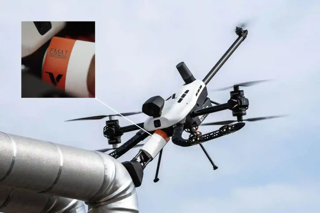
For decades, Ultrasonic Testing (UT) has been the gold standard for verifying asset integrity, yet it remains plagued by operational “friction”. Traditional piezoelectric transducers require a liquid coupling medium, such as water or gel o transmit sound waves into a material. This necessitates extensive surface preparation, including the removal of coatings, rust, and dirt, followed […]
