Advance Your Horizons: A Guide to Drone Career Path in 2025

The drone career path is no longer an emerging concept, it’s a well-defined route to high-value roles across industries that rely on precision, efficiency, and innovation. From flare stack inspections in oil & gas to aerial mapping in urban planning, drones have become a central part of modern operations. As we step into 2025, UAV […]
Drones in Mining: The New Industry Standard in Its Practice

Drones in mining is taking the industry to new heights, providing a transformative way to tackle challenges across the entire mining lifecycle. From exploration to closure, this cutting-edge technology is enabling unprecedented efficiency, safety, and accuracy. As the global mining industry faces increasing demands for sustainability, innovation, and operational excellence, drones are rapidly becoming the […]
Satellite Imagery in Modern Mining: The Future

Satellite imagery in modern mining is transforming the industry, revolutionizing exploration, operational efficiency, and sustainability. By providing high-resolution data, satellite technology helps identify resource-rich areas, optimize extraction, and reduce environmental risks. In Saudi Arabia, Vision 2030 highlights mining as a key driver of economic diversification, with $2.5 trillion in untapped mineral wealth. Satellite imagery overcomes […]
Agriculture With Satellite Imagery: A Modern Precision

Agriculture with satellite imagery is transforming how farmers manage resources and improve yields. By leveraging advanced satellite data, farmers gain a bird’s-eye view of their fields, enabling them to monitor soil health, optimize crop growth, and make data-driven decisions. This technology enhances productivity and addresses the growing demand for sustainable farming practices. Key Benefits of […]
Drones in Construction Transformative Power

In the dynamic field of drones in construction, they are playing an increasingly pivotal role. These versatile tools are reshaping traditional methodologies, bringing about significant improvements in accuracy, safety, and environmental management. This post explores the diverse benefits that drones bring to construction projects, catering to construction workers, site managers, and technology enthusiasts alike. Enhanced […]
The Integration of Drones and Building Information Modeling (BIM)

In the rapidly evolving world of construction technology, the integration of drones and Building Information Modeling (BIM) stands out as a pioneering advancement. This powerful combination enhances architectural planning, structural engineering, and project management, revolutionizing how projects are approached, managed, and executed. By marrying aerial insights with detailed 3D modeling, the construction industry is achieving […]
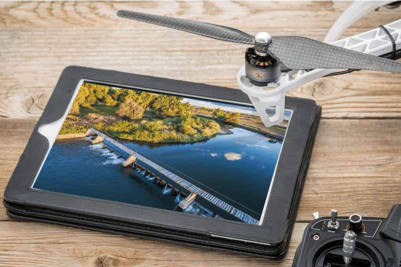
How Can You Take Drone Photography To Another Level

Embarking on the journey of drone photography opens up a world of breathtaking perspectives and unparalleled creative opportunities. Whether you’re capturing the vast, undulating sands of the Empty Quarter in Saudi Arabia or the intricate architectural details of a historic monument, the key to exceptional aerial imaging lies in a blend of technical prowess, artistic […]
Drone Photography: The Fusion of Creativity and Technology

In the rapidly evolving realm of photography, drone photography has emerged as a revolutionary force, transforming the way we capture and perceive the world around us. By offering unparalleled vantage points and access to previously unreachable locales, drones have unlocked new horizons in visual storytelling. This comprehensive exploration delves into the intricacies of drone-based imaging, […]
The Role of Drone in Digital Transformation for Industry
Drone in digital transformation are making waves, revolutionizing how businesses operate and innovate. By providing real-time data, enhancing efficiency, and opening up new operational possibilities, drones are proving to be an indispensable tool in the digital transformation journey. Let’s explore how drones are driving this transformation. Drones and Data-Driven Decision Making One of the key […]
