

Constructing long-distance high-voltage direct current (HVDC) transmission lines across complex terrain requires exact elevation data and thorough identification of existing ground features. A major international EPC contractor required a comprehensive terrestrial topographic survey to support route planning, engineering design, and tower placement for a high-voltage corridor stretching up to 400 kilometers.
Project Challenges & Requirements
- Extensive Corridor Scale: Mapping terrain elevations across a 150-meter-wide Right-of-Way (ROW) extending 75 meters on either side of the proposed centerline over a length of up to 400 kilometers.
- Dense Topographic Grid: Capturing ground elevation points at regular $25\text{ m} \times 25\text{ m}$ intervals, with increased sampling density across steep or broken terrain.
- Complex Infrastructure Intersections: Identifying and georeferencing all parallel and crossing obstacles along the route, including paved and unpaved roads, natural wadis, existing overhead lines, fiber optic cables, gas pipelines, and railway tracks.
Geospatial Solution & Field Execution
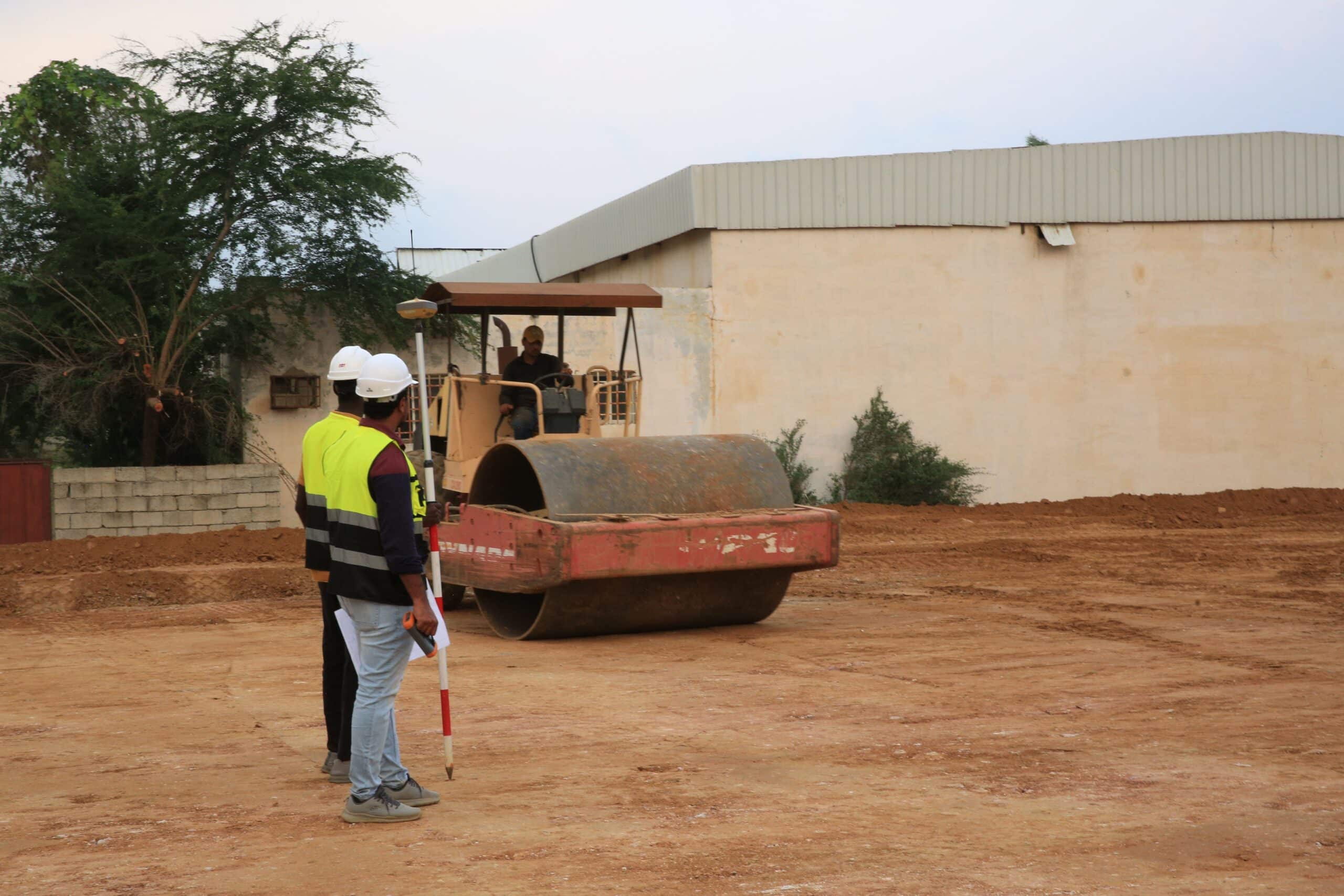
Dedicated land survey field crews equipped with high-precision Differential Global Positioning System (DGPS) equipment were deployed along the alignment. Utilizing multi-constellation GNSS receivers (tracking GPS, GLONASS, Galileo, and BeiDou satellites), the team established accurate control networks and recorded ground elevation coordinates.
The survey crews systematically traversed the 150-meter corridor, measuring natural ground levels, terrain slope changes, and structural clearance heights for intersecting power lines and roads. Field data was verified daily using specialized surveying software to ensure spatial compliance and data integrity.
Key Deliverables & Engineering Value
- Multi-Format Geospatial Data: Delivered fully processed surface coordinates in structured CSV, raw XYZ, and CAD formats for seamless import into civil engineering software.
- Detailed Obstacle Profiling: Clear digital mapping of all crossing utilities, wadis, and infrastructure, allowing design engineers to optimize tower placement and maintain statutory clearance standards.
- Accelerated Project Timeline: Rapid field collection and data processing completed the linear corridor mapping ahead of schedule, providing a reliable foundation for ongoing power grid development.

 English