

Mapping a 400 km Power Corridor: High-Precision Land Survey for Mega Grid Infrastructure
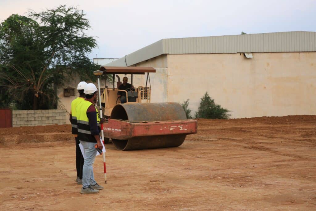
Constructing long-distance high-voltage direct current (HVDC) transmission lines across complex terrain requires exact elevation data and thorough identification of existing ground features. A major international EPC contractor required a comprehensive terrestrial topographic survey to support route planning, engineering design, and tower placement for a high-voltage corridor stretching up to 400 kilometers. Project Challenges & Requirements […]
 English