

Deepwater inspection: Identifying Early-Stage Damage in Offshore Assets with QYSEA

In the offshore energy sector, what you cannot see can cost you millions. Submerged infrastructure from oilfield wellheads to deep-sea port pilings exists in a state of constant chemical and structural attrition. Saltwater corrosion, biofouling, and extreme pressure work in tandem to create micro-cracks and material fatigue that are often invisible to the naked eye. […]
Major Update on GACA Regulation Part 107 Operation of UAS V5
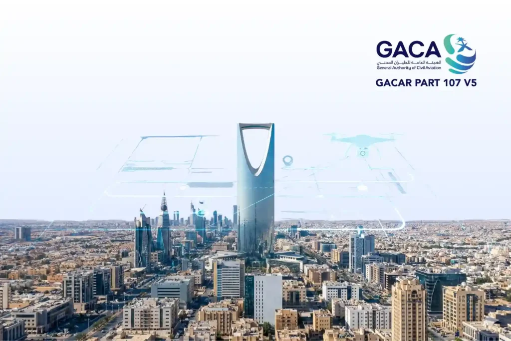
The publication of GACAR Part 107 Version 5 represents a watershed moment for the Kingdom’s aviation sector. This update signifies a transition from a reactive, case-by-case regulatory model to a sophisticated, risk-based regulatory framework. By aligning Saudi Arabia’s General Authority of Civil Aviation (GACA) protocols with international best practices most notably the European Union Aviation […]
Integrating Real-Time Data Acquisition and GIS Processing in Industrial Intelligence
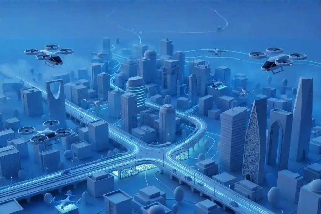
In the traditional era of drone mapping, the capture of aerial imagery was only half the battle. For years, the bottleneck was the processing, loading thousands of high-resolution images onto local workstations that would churn for days to produce a single orthomosaic. This fragmented approach led to data silos, inconsistent results, and a lack of […]
Engineering the “Eyes” of Autonomous Flight with Digital Twin & Synthetic Vision

The Pilotless Revolution The future of urban transportation is not just in the air; it is autonomous. To realize the full potential of Advanced Air Mobility (AAM), air taxis must transition from human-piloted craft to fully autonomous systems capable of scaling across busy metropolitan centers. However, this transition faces a massive technical hurdle: the “urban […]
Securing Marine Assets with ROV Inspection and Subsea NDT.
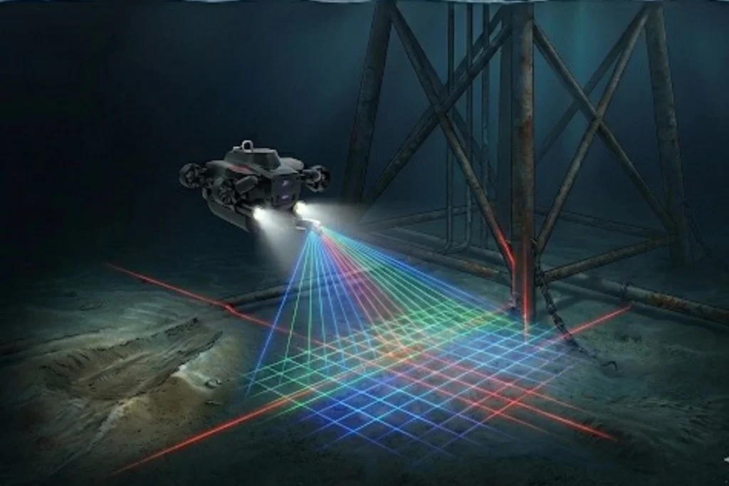
While the world marvels at the soaring skyscrapers of Riyadh and the mirrored walls of NEOM, a second, equally ambitious infrastructure revolution is taking place beneath the waves. Saudi Arabia’s maritime infrastructure, spanning the Red Sea and the Arabian Gulf is home to a vast, invisible network of subsea lifelines, including oil and gas pipelines, […]
The 2025 Recap from Terra Drone Arabia
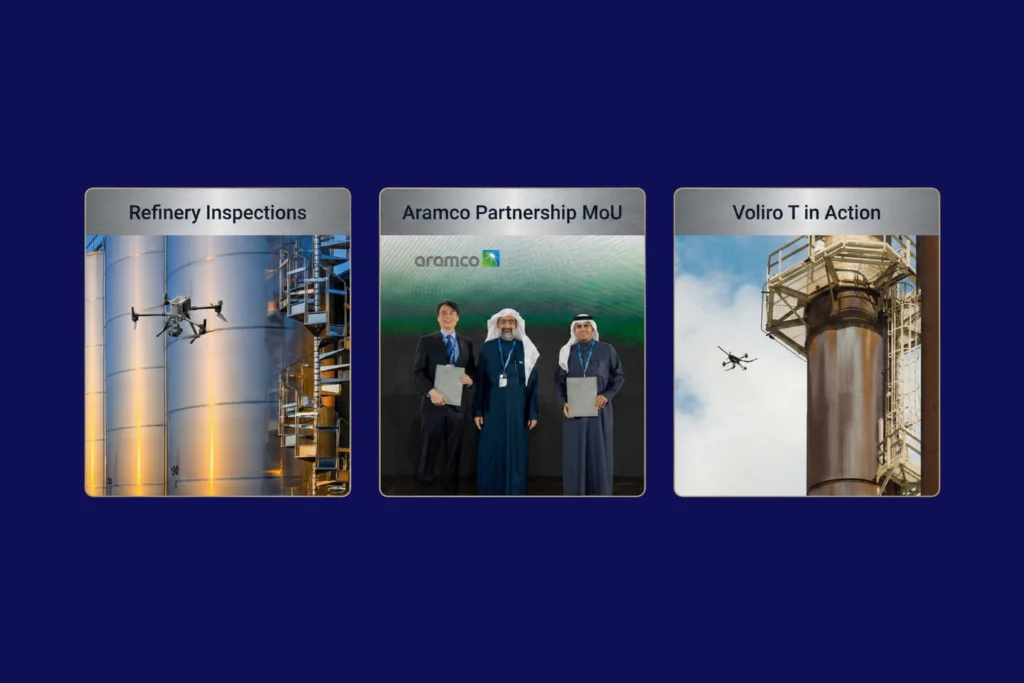
As the curtain falls on 2025, the industrial landscape of Saudi Arabia stands fundamentally altered. What was once a horizon dominated by traditional manual labor and terrestrial surveying has transitioned into a high-velocity, data-driven domain known as the Low Altitude Economy (LAE). At the heart of this revolution is Terra Drone Arabia (TDSA). This Terra […]
Quantifying the Invisible: Autonomous Equipment for Total Environmental Oversight.
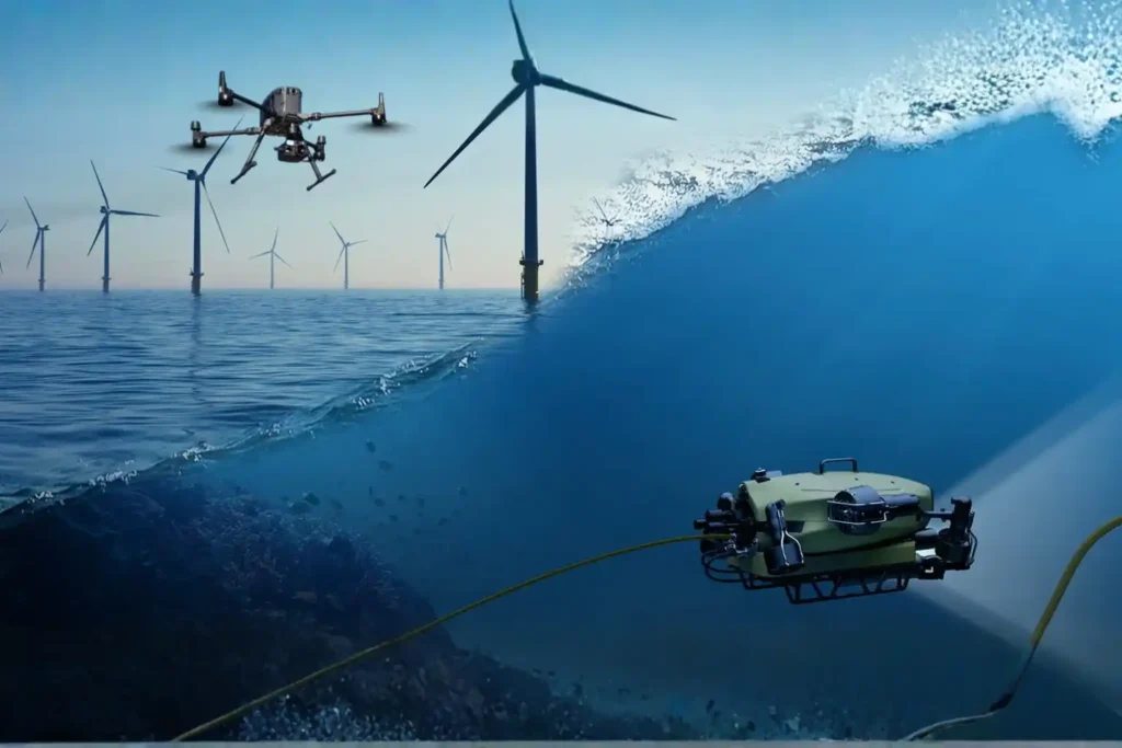
The Regulatory Squeeze Offshore energy operators today face a dual threat that is often invisible to the naked eye. The first threat is leaking methane gas in the air, a potent greenhouse gas. The second is ecological damage on the seabed beneath the platform. For decades, these impacts were estimated using calculations or infrequent spot […]
The Involvement of the UAV and ROV in Offshore Industry
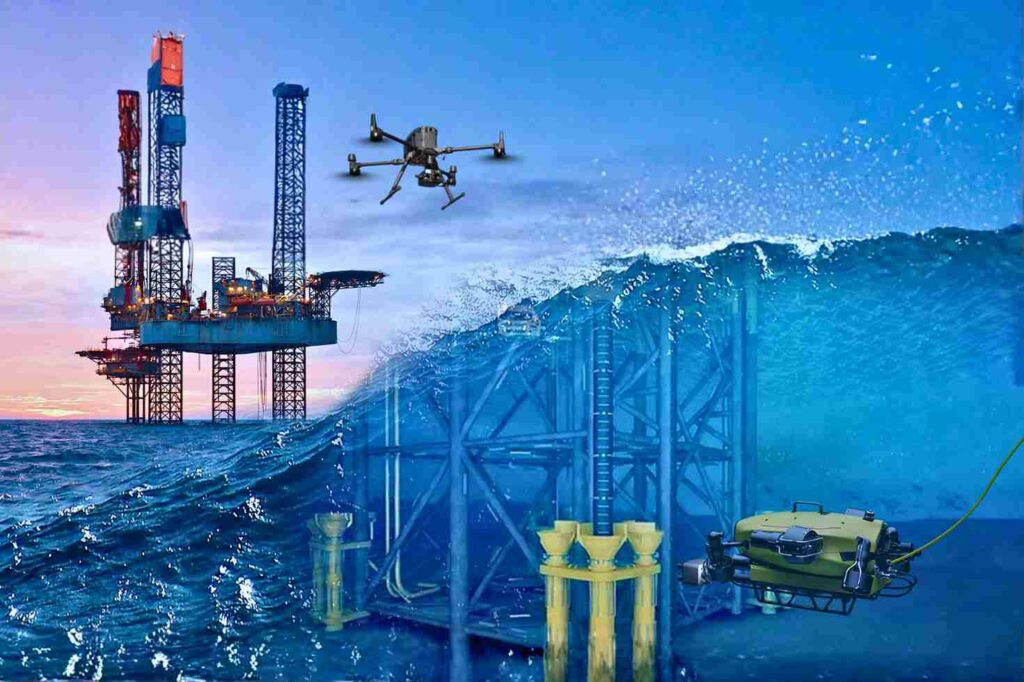
Offshore Operations in a High-Risk, Data-Driven Era The offshore energy sector operates on the edge of what is physically possible. Platforms stand isolated in the middle of the ocean, battered by saltwater, high winds, and unpredictable currents. In this hostile environment, the challenge of maintaining infrastructure is immense. Steel corrodes faster, structural fatigue sets in […]
Autonomous Maintenance: How the low altitude economy Will Inspect NEOM’s The Line in 2026
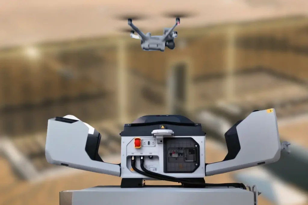
The Density Challenge When we talk about NEOM’s The Line, we are not discussing a standard skyscraper. We are talking about a continuous, 170km-long structure where structure and facilities are bound together in a straight, vertical line. Unlike traditional cities where utilities are spread out horizontally, The Line compresses everything from energy, water, transport, and […]
Milestones to Watch in 2026 as Saudi Arabia Advances Vision 2030
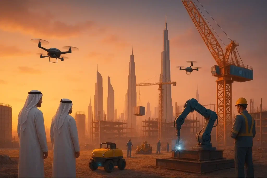
The Year of Realization For the past seven years, the world has watched Saudi Arabia move earth and sand on a scale never seen before. We have witnessed the largest construction sites in history, from the mountains of Trojena to the coasts of the Red Sea. But as we approach 2026, the narrative is changing. […]
 English