The Complete DJI Enterprise Software Guide: From Data to Intel

Drones alone are no longer enough for operational purposes. While a high-performance aircraft is the “muscle” of the operation, it is merely a vehicle for sensors. To truly unlock value, reliable software is needed to process large amounts of data acquired during field missions. The complexity of modern infrastructure means that “one size fits all” […]
Cloud-First Mapping: Accelerating Construction Timelines with ArcGIS Online and ArcGIS Enterprise
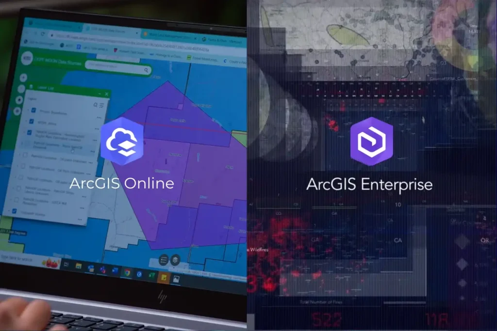
Every drone mission, whether it is an inspection of a solar farm in NEOM or a volumetric survey in the Empty Quarter ends with a massive influx of data. Thousands of images, high-density point clouds, and thermal layers require a “home.” Without a robust platform to organize and visualize this information, your drone program is […]
Engineering the “Eyes” of Autonomous Flight with Digital Twin & Synthetic Vision

The Pilotless Revolution The future of urban transportation is not just in the air; it is autonomous. To realize the full potential of Advanced Air Mobility (AAM), air taxis must transition from human-piloted craft to fully autonomous systems capable of scaling across busy metropolitan centers. However, this transition faces a massive technical hurdle: the “urban […]
Navigating the Future Air Transportation with Aerial Corridor Mapping

For decades, we have looked at the sky above our cities as an open, unstructured void. While our roads became congested and our ground-level infrastructure reached its physical limits, the airspace remained the “final frontier” for urban transport. However, as we move through 2026, that void is being filled. A quiet revolution is occurring just […]
Advance Your Horizons: A Guide to Drone Career Path in 2025

The drone career path is no longer an emerging concept, it’s a well-defined route to high-value roles across industries that rely on precision, efficiency, and innovation. From flare stack inspections in oil & gas to aerial mapping in urban planning, drones have become a central part of modern operations. As we step into 2025, UAV […]
Terra Drone Arabia Showcases Advanced Drone Solutions at Esri Saudi Arabia User Conference 2025

Riyadh, Saudi Arabia — January 22, 2025 — Terra Drone Arabia, a leader in drone and AI-powered solutions, participated as an exhibitor at the Esri Saudi Arabia User Conference 2025, held from January 21 to 22 at the Fairmont Riyadh, Business Gate. The conference, themed “GIS: Uniting Our World,” brought together GIS professionals, industry experts, […]
Remote Sensing for Urban Planning: Transforming Smart Cities

Urban planning today demands innovative solutions to address growing complexities. Rapid urbanization places enormous pressure on infrastructure, housing, and resources, so traditional approaches often fall short. Remote sensing for urban planning offers a transformative tool, combining satellite imagery and Geographic Information Systems (GIS) to provide comprehensive data and actionable insights. These technologies empower authorities to […]
Satellite Imagery in Agriculture Replanting How We Plant

Satellite imagery in agriculture revolutionizes how farmers address today’s challenges while meeting the growing demand for food security and sustainability. Agriculture, one of the oldest and largest industries in history, remains the backbone of global populations and economies. Yet, despite its importance, many regions still rely on traditional practices with low adoption of modern technologies. […]
Satellite Imagery: A Game-Changer in Construction

Satellite imagery for site assessments is revolutionizing construction planning by delivering accurate, high-resolution data for topography, terrain, and land-use analysis. Traditionally, site evaluation has relied heavily on manual surveys, which are both time-consuming and expensive. However, with advancements in satellite technology, construction stakeholders can now access detailed, real-time data, even in remote or challenging environments. […]
How Satellite Imagery is Helping Construction

Satellite imagery is helping construction revolutionize how projects are planned, monitored, and executed. From providing accurate site assessments to tracking real-time progress, this technology is reshaping the construction industry. With its ability to offer high-resolution visuals and comprehensive data, satellite imagery addresses many challenges construction teams face, such as delays, cost overruns, and environmental compliance. […]