Satellite imagery for site assessments is revolutionizing construction planning by delivering accurate, high-resolution data for topography, terrain, and land-use analysis. Traditionally, site evaluation has relied heavily on manual surveys, which are both time-consuming and expensive. However, with advancements in satellite technology, construction stakeholders can now access detailed, real-time data, even in remote or challenging environments. This breakthrough not only streamlines planning but also enables smarter, data-driven decisions to ensure project success.
Why Satellite Imagery is Essential for Site Assessments

Satellite imagery offers unparalleled insights into topography and terrain. High-resolution data allows engineers to analyze elevation changes, slopes, and land contours, which are critical for project feasibility studies. For example, terrain grading for road construction becomes more efficient when satellite data pinpoints exact elevation variations, minimizing unnecessary excavation costs.
Unlike traditional ground surveys, which may take weeks to complete, satellites capture data across vast areas in hours, providing construction teams with actionable insights faster.
Apart from that, accurate land-use mapping is essential for sustainable construction. Satellite imagery identifies key features such as vegetation, urban structures, and water bodies, enabling project teams to plan responsibly. This is particularly important for projects near ecologically sensitive zones. With satellite-based land-use data, construction stakeholders can avoid potential environmental conflicts and ensure compliance with regulatory requirements.
Additionally, integrating this data with Geographic Information Systems (GIS) enhances spatial analysis, offering visual layers that simplify decision-making.
Get more insights here: Explore more
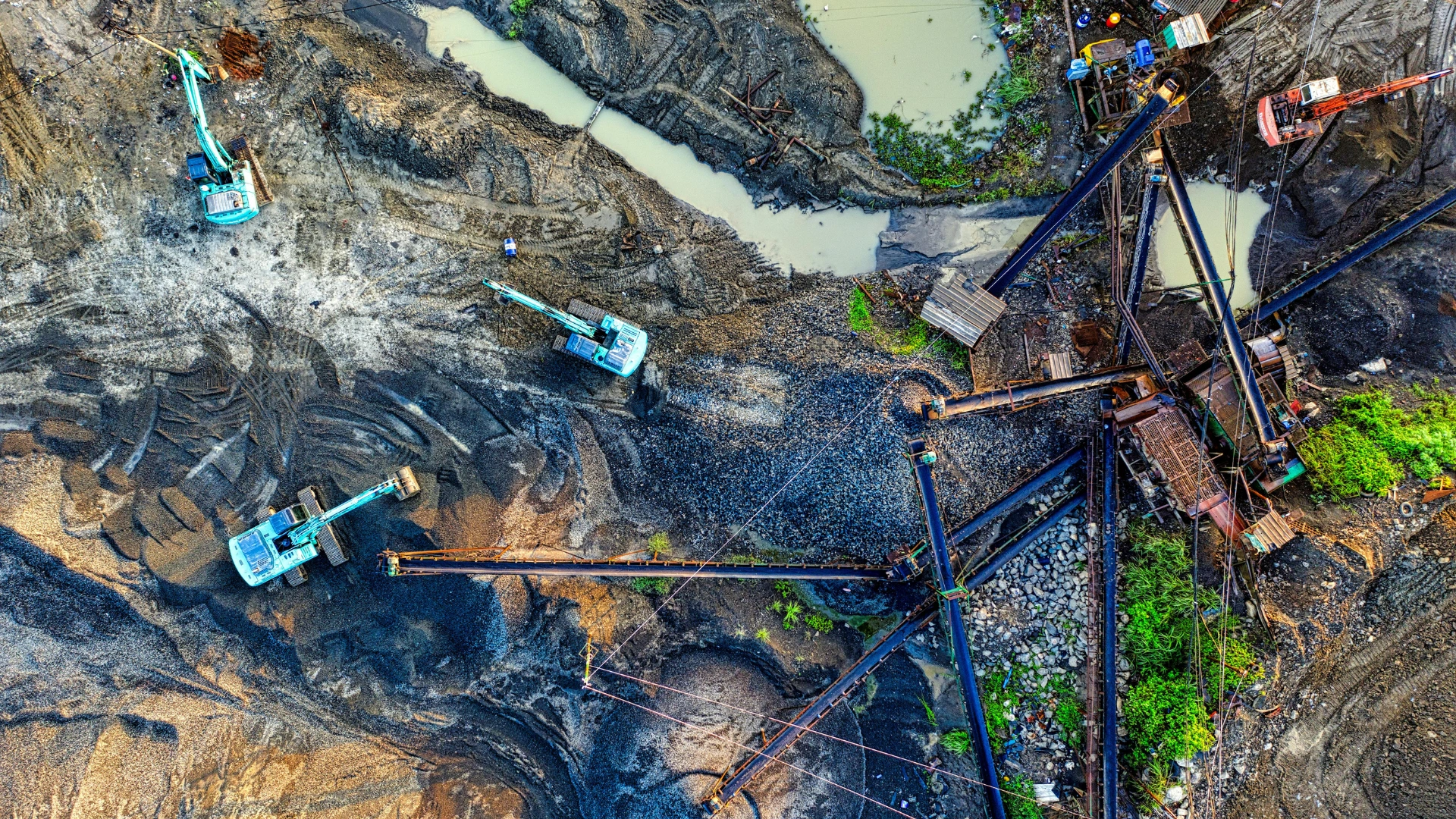
Efficient Data Collection in Remote and Challenging Environments
Construction projects in remote or inaccessible locations often pose logistical hurdles. Satellite imagery overcomes these challenges by providing a bird’s-eye view of even the most rugged terrains. Whether it’s a mountainous site or a desert landscape, satellites deliver comprehensive data without requiring on-ground intervention.
For instance, when evaluating sites for renewable energy installations, such as solar farms in arid regions, satellite imagery identifies optimal locations by analyzing solar exposure and land characteristics.
Efficiency is one of the biggest advantages of satellite-based site assessments. Traditional surveys consume significant time and incur high costs due to manpower and equipment needs. On the other hand, Satellites provide scalable solutions, offering coverage for projects ranging from small urban developments to sprawling infrastructure ventures.
By reducing reliance on manual methods, satellite imagery minimizes errors and accelerates the decision-making process. For example, large-scale projects like highway networks benefit from satellite data that pinpoints potential obstacles, saving both time and resources.
Applications of Satellite Imagery in Construction
High-resolution satellite imagery plays a crucial role in topographic mapping. This data is indispensable for designing infrastructure such as roads, bridges, and buildings. Engineers can create detailed elevation models to determine drainage patterns, flood risks, and soil stability.
For example, topographic analysis using satellite imagery can help prevent costly design changes by identifying unsuitable areas during the early planning stages.
Satellite imagery is equipped with multi-spectral capabilities, enabling the identification of environmental risks such as erosion, flooding, or landslides. By addressing these risks proactively, construction teams can mitigate potential delays and ensure compliance with environmental regulations.
A real-world example includes satellite data being used to map flood-prone zones in urban areas, helping developers design resilient infrastructure.
Combining Satellite Data with Drone Technology
While satellite imagery provides a broad overview, drones excel in capturing localized, micro high-detail data. Together, these technologies create a comprehensive solution for construction planning.
For instance, satellite base maps can be overlaid with drone imagery to provide a detailed understanding of project sites. This combination enables teams to visualize both the macro and micro aspects of construction, ensuring precision at every stage.
Integrating drone and satellite data simplifies project monitoring by providing stakeholders with real-time visual updates. This ensures alignment between project milestones and initial plans, reducing delays and maintaining transparency among teams.
How Stakeholders Benefit from Satellite-Based Site Assessments
For Construction Companies
- Streamlined site planning with accurate data
- Faster identification of potential risks and obstacles
For Project Owners and Investors
- Reliable data for financial decision-making
- Improved transparency through visual insights
For Design Consultants
- Precise topographic and terrain analysis
- Enhanced designs with multi-layered data integration
For Contractors
- Real-time progress tracking
- Reduced delays and enhanced safety compliance
Why Satellite Imagery is Redefining Construction?
It is transforming the construction industry by providing precise, real-time data for planning, monitoring, and stakeholder coordination. Its ability to access remote areas, reduce costs, and improve decision-making makes it an indispensable tool for modern construction projects.
Your Next Steps
Ready to unlock the full potential of satellite imagery for your construction projects? Contact Terra Drone Arabia today to explore cutting-edge solutions tailored to your needs.

