Industrial Drone & Geospatial Case Studies in Saudi Arabia
Real deployments across the Kingdom: asset and pipeline inspection, confined-space and offshore work, construction progress and surveys, mining sites, utilities, and telecom towers. Documented results from Terra Drone Arabia teams.
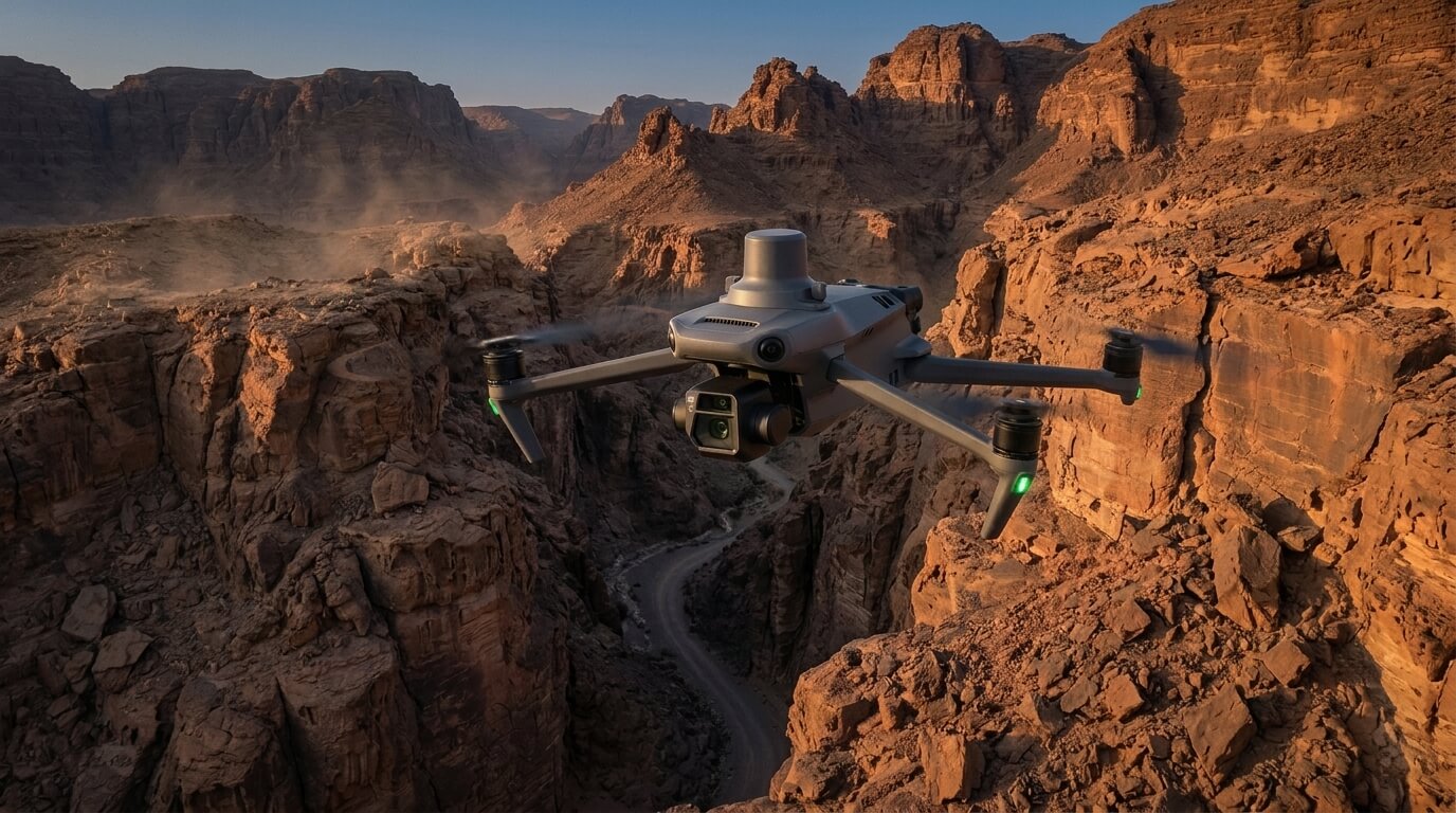
Traditional surveying often stops where the mountains begin. In regions like Al Namas, the terrain is defined by steep slopes, deep valleys, and unpredictable ridges that make ground-based mapping both
Real project breakdowns, GACA regulatory updates, and field-tested case studies from oil and gas, mining, and infrastructure operations. Used by engineering and procurement teams at Saudi Arabia’s largest operators.
Joined by 2K+ industry professionals in Saudi Arabia.