دراسات حالة الطائرات بدون طيار الصناعية والمعلومات الجغرافية في المملكة العربية السعودية
عمليات نشر فعلية في جميع أنحاء المملكة: فحص الأصول وخطوط الأنابيب، العمل في الأماكن المغلقة والعمليات البحرية، تقدم أعمال البناء والمسوحات، مواقع التعدين، المرافق، وأبراج الاتصالات. نتائج موثقة من فرق Terra Drone Arabia.
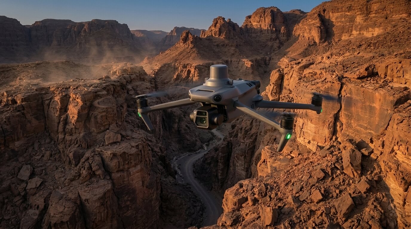
Traditional surveying often stops where the mountains begin. In regions like Al Namas, the terrain is defined by steep slopes, deep valleys, and unpredictable ridges that make ground-based mapping both
Real project breakdowns, GACA regulatory updates, and field-tested case studies from oil and gas, mining, and infrastructure operations. Used by engineering and procurement teams at Saudi Arabia’s largest operators.
Joined by 2K+ industry professionals in Saudi Arabia.