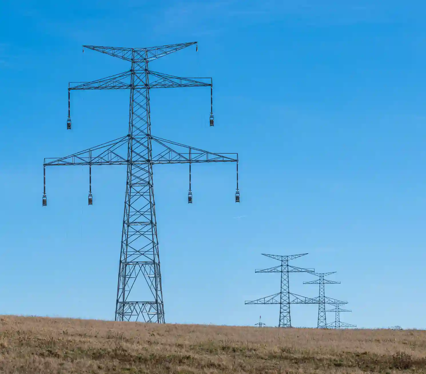
A contractor needed accurate ground data before building a new 110 kV double circuit power line. We surveyed the full route: about 44 km long and 34 m wide.
The challenge
A power line route crosses uneven ground, roads, poles and other power lines. Designers need to know where the ground rises and falls, and what is already in the way.
Builders also need fixed reference points. With them, every tower is placed from the same base. Without good ground data, the design can change late in the project, and that costs time.
What we did
Step 1. Set the control
We started from the reference benchmarks provided by the network owner. From them, we set 5 permanent reference monuments (PRMs), one every 10 km along the route.
Each PRM is a cemented 3-inch PVC pipe, 1 m tall, with 40 cm buried in the ground. We measured each one with static GNSS observation, which gives a reliable position over a long period of measuring.
Step 2. Install the benchmarks
Next, we installed 44 benchmarks (BMs), one every 1 km and one at every turn of the route. We built them the same way as the PRMs.
We measured each benchmark with RTK GNSS, referenced to the nearest PRM. The result is a chain of reference points that builders can use for construction.
Step 3. Survey the corridor
The crew took elevation points on a 25 × 25 m grid across the 34 m wide route. We tightened the grid where the ground needed more detail.
They also recorded natural and man-made features: existing structures, water bodies and utility lines. Two natural ground level (NGL) lines were surveyed along the route.
Where the route crosses overhead lines, lighting poles and telecom towers, we surveyed them in 3D with a total station.
Team and equipment
A team of 4 surveyors and 1 helper did the work. They used 4 GNSS receivers, 1 total station, and 2 vehicles. They processed data on site with laptops or tablets running survey software.
The GNSS receivers use GPS, GLONASS, Galileo and BeiDou signals. That allows sub-centimetre-level accuracy for the control points.
The plan allowed 15 working days, assuming good weather.
What the client received
We delivered the survey data as CSV, XYZ and CAD files. These formats open in GIS, CAD and other mapping and engineering software, so designers can start work right away.
Need a corridor survey?
If you are planning a power line, road or pipeline route, talk to us about your corridor survey before design starts.

 العربية