Run repeatable industrial inspection missions from a dock-based drone. Terra Drone Arabia connects remote flight operations with a clear workflow for inspection evidence, review, and reporting.
A drone-in-a-box program is most useful when the mission, capture, asset reference, review, and report stay connected from one inspection cycle to the next.
Planned Missions at a Set Cadence
Schedule repeat visits for selected assets or areas, subject to site conditions and approved operating procedures.
Consistent Viewpoints Over Time
Use agreed routes and capture points to make visual records easier to review across inspection cycles.
Remote Mission Oversight
Monitor compatible dock and aircraft operations through the selected flight-operations platform.
Dock-Based Site Coverage
A fixed or vehicle-mounted dock can be considered when it fits the asset layout and approved concept of operations.
Capture Matched to the Inspection
Select visual or compatible thermal capture according to the target, sensor configuration, and inspection objective.
Evidence Organized for Review
Connect selected images, mission details, asset references, and observations to the agreed inspection record.
THE INSPECTION CHALLENGE
A Dock Is Only One Part of the Inspection System
A dependable program accounts for site conditions, aircraft, route, permissions, image quality, and how evidence reaches the review team.
Routes Must Fit Real Site Geometry
Structures, obstacles, access zones, and viewpoints shape a safe and useful mission plan.
Connectivity and Dock Location Matter
Power, communications, weather exposure, security, and launch clearance affect where a dock can operate.
Weather Defines the Flight Window
Wind, visibility, and site conditions influence when a mission can run and what data it can collect.
Visual Coverage Is Not Close-Access Inspection
Aerial imagery supports visual review and follow-up planning; it does not replace contact measurements or NDT.
Flight Data and Inspection Records Differ
Flight tools manage missions; inspection teams still need asset context, observations, evidence, and reporting.
Approvals Shape the Operating Model
Remote and BVLOS concepts depend on site feasibility, permissions, and the approved operating plan.
التقنيات و الأساليب
A Mission Workflow Matched to the Asset
The service connects site assessment, dock and aircraft configuration, mission capture, and inspection review within an agreed scope.
Site and Mission Planning
Define asset targets, viewpoints, access boundaries, operating windows, and review requirements before deployment.
Dock and Aircraft Configuration
Select compatible dock, aircraft, camera or thermal sensor, communications, and installation position for the approved mission.
Remote Mission Operations
Plan and supervise compatible dock-based flights through the selected operations platform, subject to approvals and site procedures.
Inspection Review and Reporting
Organize mission evidence and asset-linked observations in the agreed Terra Cloud and Terra Inspection workflow.
FLIGHT-TO-INSPECTION WORKFLOW
Flight Operations and Inspection Review, Clearly Separated
These four steps connect remote flight operations to an organized inspection record. Available functions depend on the selected equipment and deployment.
Plan
Plan missions and operate compatible aircraft and docks remotely in DJI FlightHub 2.
Capture
Capture the agreed visual or thermal images with the selected aircraft and sensor.
Review
Use Terra Inspection to link images to assets and record observations, findings, and evidence.
Deliver
Use Terra Cloud to process and deliver the agreed data package. Confirm the handoff format for each deployment.
ENGINEERING DELIVERABLES
Deliverables Configured for Civil 3D, MicroStation, and ArcGIS
Deliverables are formatted and georeferenced according to the agreed project specification, with coordinate reference, QA, and integration requirements documented before handover.
Point Clouds (.LAS / .LAZ; classification as specified)
Bare-Earth DTM (GeoTIFF; resolution per scope)
Digital Surface Models (DSM GeoTIFF)
Topographic Contours (.DWG / .DXF)
Orthophoto Maps (ECW / TIF; when included)
Vector GIS Layers (.SHP / .GeoJSON)
Control & Check Point Record (when required)
Survey QA & Accuracy Report
المنصات والتطبيقات
Platforms and Real-World Inspection Applications
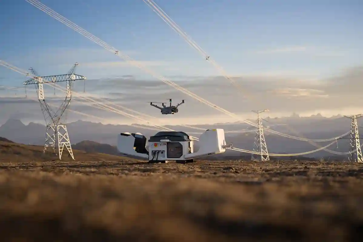
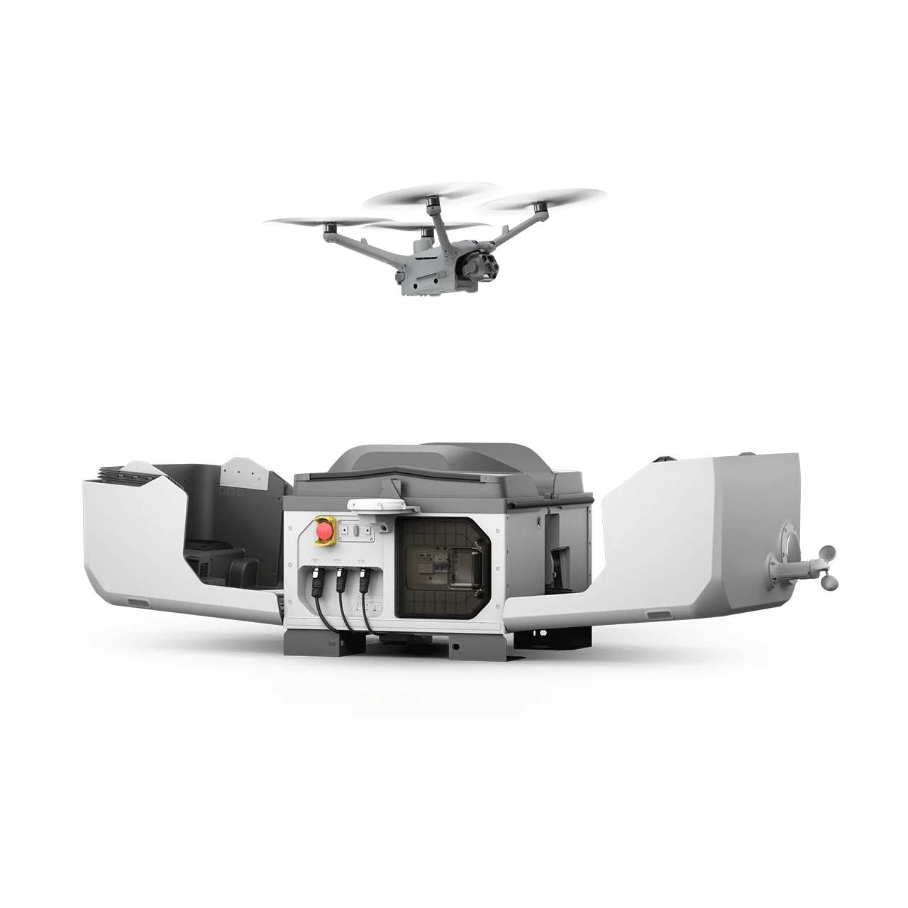
DJI Dock 3 is one reference deployment. Equipment, sensors, placement, and flight plans are selected around site conditions and objectives such as recurring asset checks, condition review, and repeat-survey monitoring.
DJI Dock 3 + M4D
Refineries and Process Facilities
Repeatable views of pipe racks, flare structures, stacks, and other selected assets can support routine visual review and maintenance follow-up.
Storage Tanks and Tank Farms
Repeatable external views of tank roofs, shells, bund walls, and surrounding pipework can help teams track visible changes between inspection cycles.
Mining & Quarry Asset Management
Potential applications include highwall slope assessment, haul-road grade planning, cut-and-fill change detection from repeat surveys, and spatial environmental-buffer monitoring.
Utilities and Energy Infrastructure
Scheduled visual checks of selected substation structures, equipment enclosures, access routes, and perimeter areas can help teams document visible changes between visits.
AUTONOMOUS INSPECTION FAQ
أسئلة متكررة
What is autonomous online inspection?
It uses a dock-based drone and planned workflow to collect repeatable visual data from selected industrial assets. Scope depends on site feasibility, permissions, compatible equipment, weather, and review requirements.
How do DJI FlightHub 2 and Terra Inspection fit together?
DJI FlightHub 2 supports compatible dock and aircraft operations. Terra Cloud and Terra Inspection support processing, inspection records, evidence, findings, and reporting. The data handoff is defined for each deployment.
Can DJI Dock 3 support fixed and vehicle-mounted deployment?
DJI presents Dock 3 for fixed-site and vehicle-mounted deployment. Final placement and the operating concept depend on a site assessment and applicable approvals.
Can a dock-based drone replace close inspection or NDT?
No. Aerial visual capture supports condition review and follow-up planning. Close-access inspection, contact measurement, and NDT require suitable methods and qualified personnel.
Can missions be flown BVLOS?
BVLOS operation depends on site feasibility, applicable aviation permissions, and the approved operating concept. It is not assumed for every deployment.
What determines whether a dock can be installed at our site?
Access, power, communications, weather exposure, security, airspace, and launch and recovery clearances are assessed before selecting a location and operating plan.
What does the client receive?
The handover may include mission records, selected imagery or video, asset-linked observations, inspection summaries, and a structured report. Final deliverables depend on scope, sensor, data quality, and review requirements.
Remote flight operations, connected to inspection review
Real project breakdowns, GACA regulatory updates, and field-tested case studies from oil and gas, mining, and infrastructure operations. Used by engineering and procurement teams at Saudi Arabia’s largest operators.
Joined by 2K+ industry professionals in Saudi Arabia.


 English
  العربية
