

Precision Aerial Mapping for Mega Urban Master Planning
Developing large-scale mixed-use residential communities requires accurate, up-to-date topographical data before civil earthworks and infrastructure construction begin. A major real estate developer required a high-precision aerial survey across a 3-square-kilometer project area to generate baseline elevation models and detailed site mapping.
Project Challenges & Requirements
- High Spatial Accuracy Demands: Achieving a maximum spatial accuracy of 2 cm across the entire 3-square-kilometer site to meet strict engineering design standards.
- High-Detail Imagery: Capturing aerial photographs with a Ground Sampling Distance (GSD) of $1.5\text{ cm/pixel}$ to resolve fine surface details and terrain features.
- Tight Project Schedule: Completing field deployment, data acquisition, processing, and quality assurance within a 5-day operational window following flight permit approval.
Geospatial Solution & Field Execution
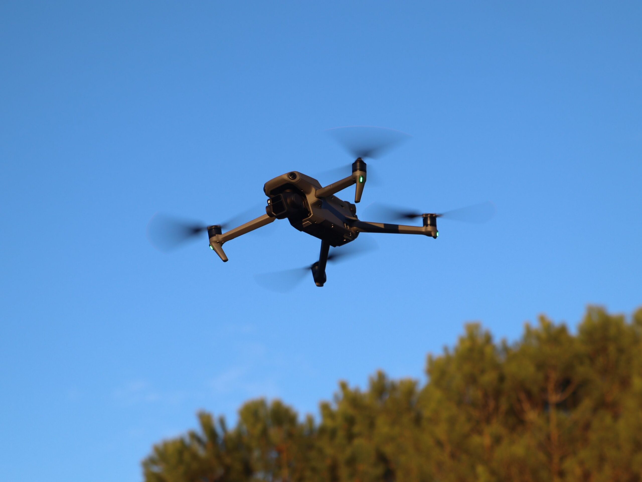
The survey team deployed an RTK-enabled drone platform paired with a multi-constellation GNSS ground control network. Field engineers installed permanent reference markers (PRMs) connected to the national geodetic network alongside temporary black-and-white ground control points (GCPs) distributed evenly across the site.
Using automated flight planning software, the drone executed overlapping flight grids at an altitude of 120 meters above ground level (80% forward overlap and 75% side overlap). The onboard 20 MP mechanical shutter camera captured distortion-free imagery synchronized in real-time with differential GNSS positioning.
Key Deliverables & Operational Impact
- Sub-Centimeter Resolution Orthomosaics: Delivered georeferenced, 2 cm resolution orthophoto maps covering the full 3 sq. km development footprint.
- High-Accuracy Elevation Models: Produced Digital Terrain Models (DTMs) and Digital Surface Models (DSMs) for direct cut-and-fill analysis and CAD layout planning.
- 3D Textured Mesh: Generated interactive 3D site meshes allowing civil engineering teams to inspect surface contours and existing structures remotely.

 العربية