Topographic Survey with Advanced Hardware, Terra MapX, and Certified Survey Expertise
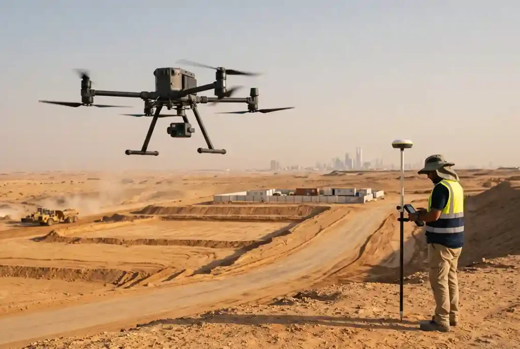
Rapid urban expansion, economic industrial cities, and national infrastructure corridors require fast, accurate topographic baselines before engineering design begins. Traditional land surveying using optical total stations and GPS rovers creates severe logistical delays, captures only sparse spot elevations, and exposes field personnel to hazardous terrain. To overcome these physical limitations, infrastructure authorities and engineering consultants […]
 English